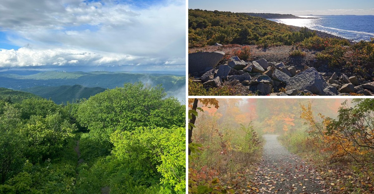
Massachusetts can turn a simple walk into a full-blown adventure.
One trail might lead you beside a quiet pond, while another sends you scrambling toward a rocky summit with sweeping views. The variety makes choosing your next hike half the fun.
Start with easy paths around Walden Pond or along the coast, where you can enjoy fresh air and beautiful scenery without committing your entire day.
Ready for something tougher?
Head toward the Holyoke Range, Wachusett Mountain, or the Berkshires, where steeper climbs, rocky footing, waterfalls, and serious elevation gain raise the stakes.
These 16 can’t-miss Massachusetts hikes are ranked from gentle day walks to demanding mountain routes, making it easy to find a trail that matches your energy, experience, and appetite for adventure.
Lace up, grab some water, and get ready to earn those views.
Walden Pond Loop – Concord
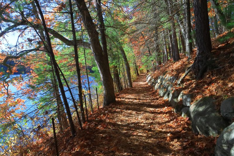
Literary history meets easy outdoor access at this famous pond where Thoreau once sought solitude. The 1.7-mile loop offers a gentle introduction to Massachusetts hiking without demanding any serious climbing skills.
Families, first-time hikers, and anyone seeking a calm nature experience will find this trail welcoming year-round.
Mostly flat terrain winds through peaceful woods before opening onto shoreline views of the clear water. You can pause frequently to take photos, read trail markers about Thoreau’s cabin site, or simply enjoy the forest sounds.
Spring and fall bring especially beautiful colors to the surrounding trees.
The trail gets crowded on summer weekends when swimmers flock to the pond, so consider visiting on weekday mornings for a quieter experience. Parking requires a reservation during peak season.
Despite the crowds, the natural beauty and cultural significance make this loop worth including on any Massachusetts hiking list.
World’s End – Hingham
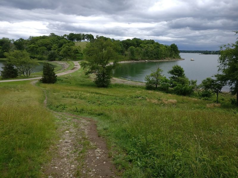
Rolling hills and ocean breezes create an unexpected wilderness feeling just minutes from Boston’s southern edge. World’s End was designed by Frederick Law Olmsted’s firm with broad carriage roads that make navigation simple for hikers of all experience levels.
The 3-4 mile trail network passes through meadows, forests, and rocky coastline without punishing elevation changes.
Harbor views surprise you around nearly every bend, with Boston’s skyline visible across the water on clear days. The peninsula’s varied landscape keeps the scenery interesting from start to finish.
Open fields transition to shaded woodland sections, then emerge onto dramatic coastal overlooks.
Dogs are welcome on leash, making this a popular spot for active pet owners. The trails remain accessible during most weather conditions since the wide paths drain well after rain.
Pack a picnic to enjoy at one of several scenic rest areas, and plan for at least two hours to fully explore the property.
Halibut Point State Park – Rockport
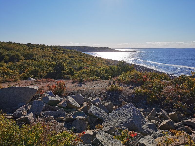
Crashing Atlantic waves replace mountain vistas at this unique coastal hiking destination on Cape Ann. Halibut Point swaps inland forest scenery for dramatic ocean overlooks and fascinating industrial history.
The 2-3 mile trail system explores an abandoned granite quarry before leading hikers onto windswept ledges above the sea.
Massive granite walls from the old quarry operations create an otherworldly landscape unlike typical woodland paths. The flooded quarry pit now forms a deep pool surrounded by towering stone faces.
Walking through this area feels like discovering a hidden canyon carved by human hands rather than natural forces.
From the quarry, trails continue through low coastal vegetation toward rocky outcrops overlooking the Atlantic. Waves crash spectacularly against the shore during storms, but even calm days offer satisfying ocean views stretching toward the horizon.
Bring binoculars during migration seasons to spot seabirds passing offshore, and watch your footing on wet rocks near the water’s edge.
Purgatory Chasm Loop – Sutton
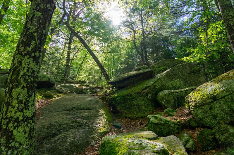
Prepare for scrambling through narrow passages between towering granite walls at this geological wonder. Purgatory Chasm delivers adventure packed into a compact 1.5-2 mile route that feels nothing like a typical forest walk.
Massive rock formations, tight squeezes, and boulder-hopping sections transform this short hike into an exciting outdoor challenge.
The main chasm cuts a dramatic gash through solid bedrock with walls rising high on both sides. Hikers navigate the uneven floor by climbing over, around, and sometimes between huge granite blocks.
Some passages narrow enough that you’ll need to turn sideways to squeeze through.
Despite the short distance, uneven terrain and constant scrambling make this feel more strenuous than many longer trails. Kids usually love the adventure-park atmosphere, though very young children might struggle with the rocky sections.
Wear sturdy shoes with good grip since smooth granite can be slippery. The unique terrain and geological interest make this worth visiting even if you typically prefer longer distance hikes over technical challenges.
Bash Bish Falls Trail – Mount Washington
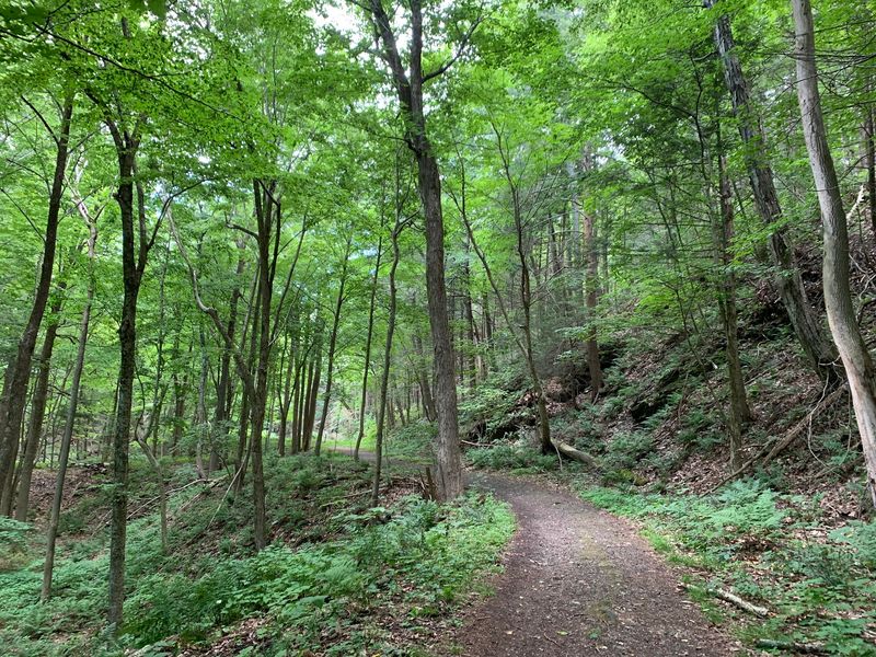
Massachusetts’ most dramatic waterfall rewards a brief but demanding climb in the state’s southwestern corner. Don’t let the 0.6-mile round trip fool you into expecting a casual stroll.
The Massachusetts approach drops steeply down rocky, root-crossed terrain that demands attention with every step.
Bash Bish Falls plunges roughly 60 feet in multiple stages before crashing into a scenic pool below. The waterfall splits around a massive boulder partway down, creating twin cascades that rejoin at the bottom.
Forest surrounds the entire scene, making the falls feel remote despite the short access trail.
Current regulations prohibit entering the water, and visitors must stay within designated viewing areas for safety. The trail can get slippery after rain, so pick your footing carefully on the descent.
Spring runoff creates the most impressive water volume, though the falls remain photogenic year-round. Return uphill tests your legs more than the descent, so save some energy for the climb back to your car.
Great Blue Hill via Skyline Trail – Milton
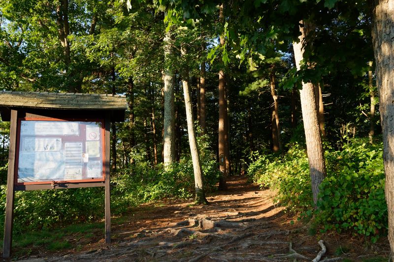
Boston’s closest legitimate mountain hiking sits just south of the city in the Blue Hills Reservation. Great Blue Hill reaches only 635 feet, but the 3-4 mile route provides real elevation gain and rewarding summit views without requiring a long drive into western Massachusetts.
Urban hikers seeking a quick escape after work frequently tackle this accessible peak.
The Skyline Trail combines forest walking with rocky scrambles and enough elevation change to feel like genuine mountain training. Routes vary depending on your chosen approach, but most involve sustained climbing through mixed woodland.
Tree cover provides shade during summer heat, though exposed sections near the summit can feel windy.
From the top, you’ll see Boston’s skyline spreading across the eastern horizon on clear days. The stone observation tower adds historical interest and extends views even further.
The trail network offers multiple route options for varying the distance and difficulty. Pack layers since temperatures can shift noticeably between the trailhead and exposed summit areas.
Mount Watatic – Ashburnham/Ashby
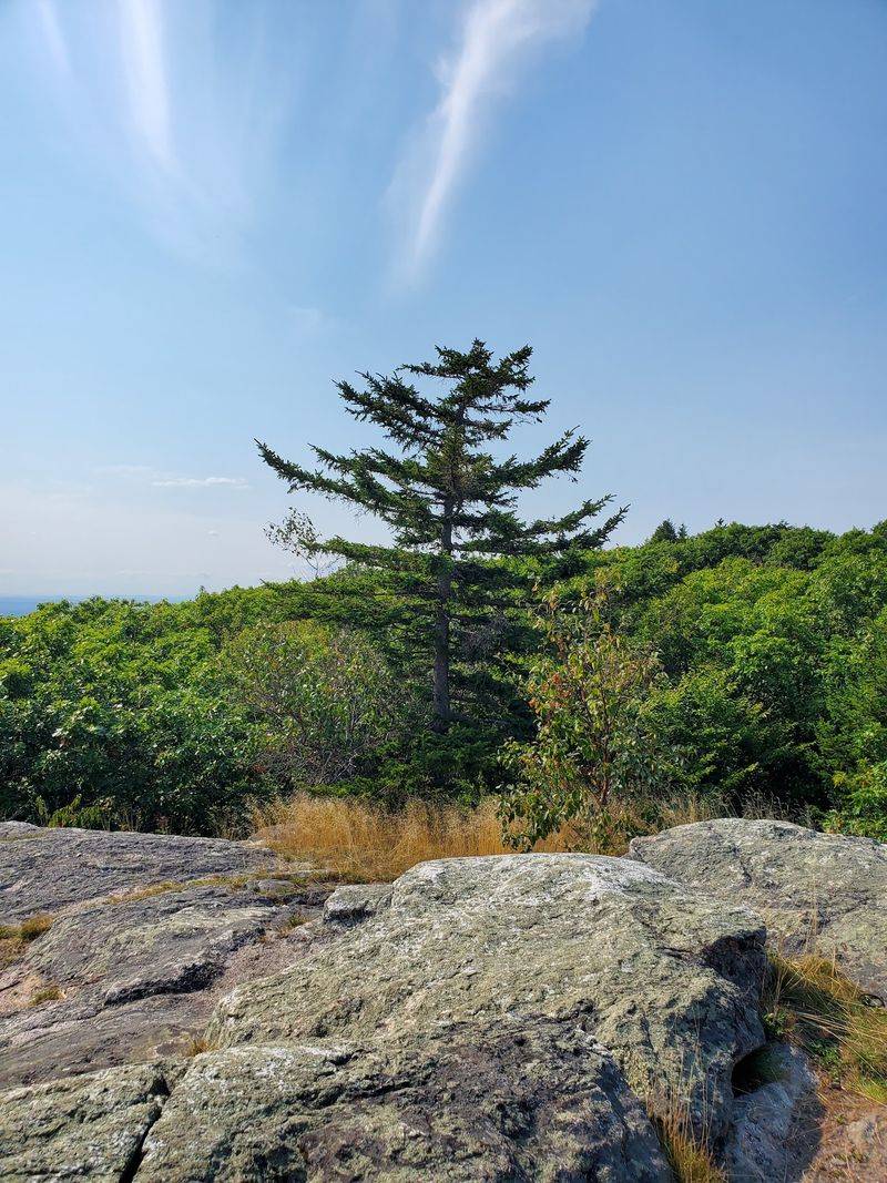
Compact but satisfying summit climbs await at this northern Massachusetts peak near the New Hampshire border. Mount Watatic packs mountain atmosphere into a 3-4 mile round trip that won’t consume your entire day.
The relatively modest commitment makes this perfect for testing your readiness for longer summit hikes or squeezing in a quick peak when time is limited.
Forest trails climb steadily through mixed woodland before breaking into more open terrain near the top. The summit area features exposed bedrock with 360-degree views stretching across the surrounding landscape.
On exceptionally clear days, you might spot Mount Monadnock across the border in New Hampshire.
The ascent provides enough challenge to feel rewarding without requiring extreme fitness levels. Rocky sections near the summit demand careful footing, especially when wet or icy.
Early morning starts let you beat crowds and enjoy sunrise from the peak. The quick turnaround time also makes this appealing for an after-work adventure during long summer evenings when daylight extends past dinner time.
Mount Norwottuck – Amherst/Granby
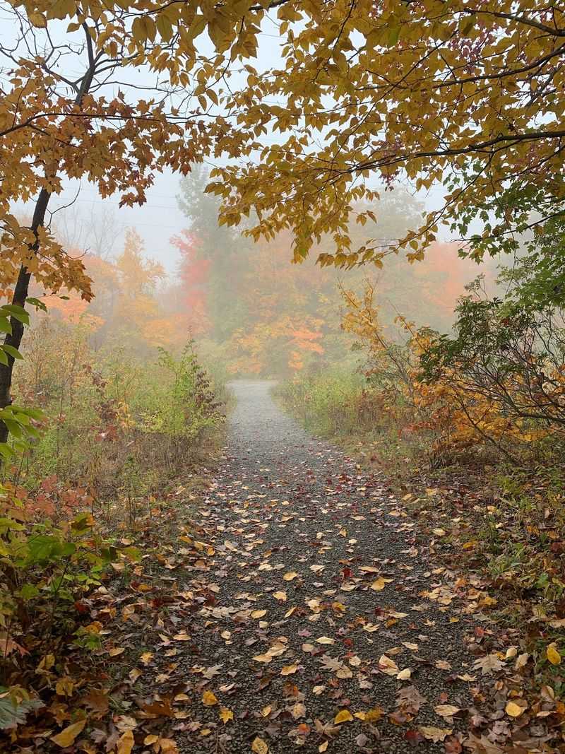
Interesting geology combines with manageable summit access at the Holyoke Range’s highest point. Mount Norwottuck rises to 1,106 feet and offers hikers a chance to explore distinctive traprock ridges that shape this mountain chain.
The roughly 3-mile loop using Robert Frost and Metacomet-Monadnock trails balances steady climbing with fascinating geological features.
The trail passes through the unusual Horse Caves, shallow rock shelters formed by fallen traprock slabs. These overhangs create dramatic formations worth pausing to explore and photograph.
Beyond the caves, the route continues climbing toward increasingly open terrain near the summit.
From the top, views sweep across the Connecticut River Valley with agricultural land spreading below the ridge. The Holyoke Range’s distinctive traprock character becomes visible from this elevated perspective.
Fall colors transform the valley into a patchwork of reds and golds that make autumn the most scenic season for this hike. Bring plenty of water since the rocky terrain and sun exposure can make this warmer than expected on hot days.
Mount Holyoke Summit Loop – South Hadley
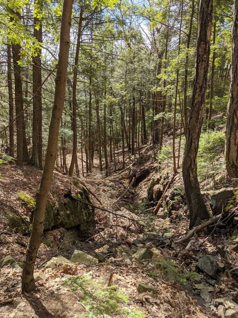
Historic architecture meets satisfying summit views at this classic Holyoke Range destination. Mount Holyoke has attracted visitors since the 1800s, and the trail to its peak remains one of the region’s most popular moderate climbs.
The 3-4 mile loop delivers enough elevation gain to feel accomplished without demanding extreme endurance or technical skills.
Approaching the summit, you’ll spot the historic Summit House perched dramatically on the mountaintop. This building has served various purposes throughout its history and adds cultural interest beyond the natural scenery.
The structure frames photographs nicely and provides context about the mountain’s long tourism history.
Panoramic views from the summit stretch across the Connecticut River Valley with farmland, towns, and distant mountains creating layered scenery. The Holyoke Range’s characteristic traprock cliffs and ridges become visible from this vantage point.
Spring wildflowers dot the trail edges, while fall transforms the valley below into spectacular color. The well-maintained path and clear signage make navigation straightforward for hikers tackling their first summit attempt in Massachusetts.
Wachusett Mountain Loop – Princeton
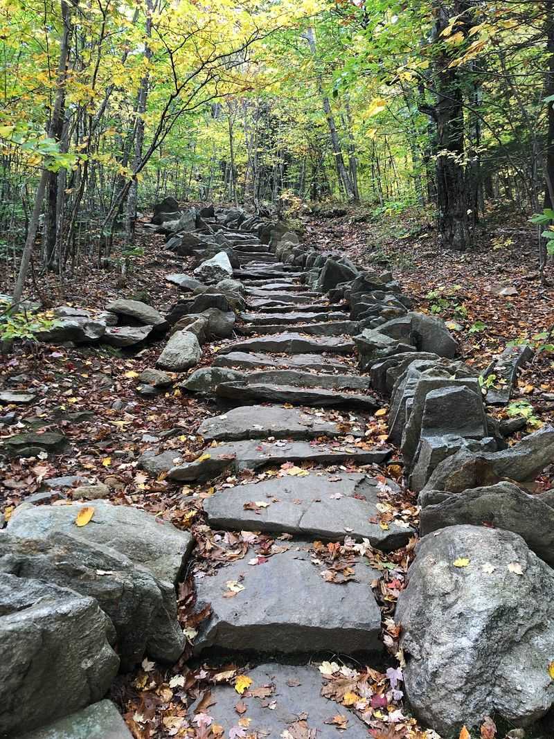
Central Massachusetts’ most prominent peak provides a natural progression for hikers ready to tackle more sustained elevation gain. Wachusett Mountain rises to 2,006 feet and offers several trail combinations that can create a 3.5-4 mile loop with genuine mountain character.
This marks a clear step up in difficulty from easier summits like Mount Watatic or the Blue Hills.
Multiple trails approach the summit through varied terrain including dense forest, rocky scrambles, and increasingly open slopes. As elevation increases, the landscape transitions from thick woodland to more exposed areas with expanding views.
The summit itself features broad vistas that can extend across much of central Massachusetts when atmospheric conditions cooperate.
While not technically difficult, the sustained climbing tests your cardiovascular fitness and leg strength. A fire tower near the summit provides even better views for those willing to climb the stairs.
The mountain hosts a small ski area, so some trails cross ski runs that feel oddly barren during hiking season. Choose weekdays for quieter conditions, as weekends draw significant crowds to this accessible peak.
Mount Everett via Race Brook Falls – Mount Washington
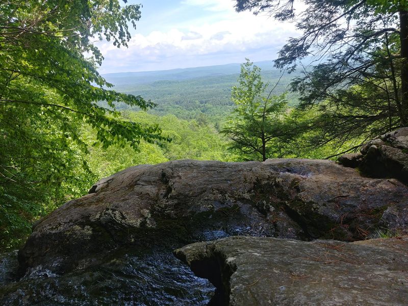
Waterfalls and high-elevation summit views combine into one demanding southern Berkshires adventure. The Race Brook Falls approach to Mount Everett delivers approximately 5 miles of climbing that starts scenic and becomes increasingly challenging.
Multiple waterfalls punctuate the lower sections before the trail steepens considerably on the push toward the 2,602-foot summit.
Race Brook tumbles down a series of cascades that provide natural rest stops and photo opportunities during the ascent. The falls flow strongest during spring runoff, though they maintain enough water to stay photogenic through most of the year.
Beyond the waterfalls, forest trail gives way to rockier, steeper terrain.
The summit rewards your effort with expansive Berkshire views that justify the demanding climb. This represents a significant commitment beyond moderate day hikes, so assess your fitness honestly before attempting it.
Weather can change quickly at higher elevations, making layers essential even on seemingly mild days. The combination of distance, elevation gain, and sustained steepness places this firmly in strenuous territory.
Most hikers need 4-5 hours for the round trip including rest stops.
Mount Greylock Overlook Trail – Adams/Lanesborough
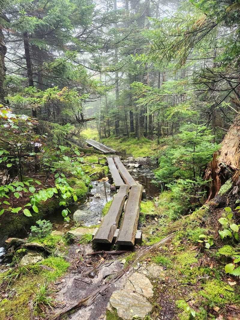
Experience Massachusetts’ highest mountain without committing to a full valley-to-summit climb. The Overlook Trail provides a shorter introduction to Mount Greylock’s summit area for hikers who drive partway up the mountain.
The 2.4-mile loop packs roughly 660 feet of elevation gain into approximately two hours of hiking, according to Massachusetts DCR.
Starting from higher parking areas, this trail explores the mountain’s upper elevations through varied forest and rocky terrain. You’ll encounter the distinctive high-elevation ecosystem without enduring the full climb from the base.
The loop format prevents simple out-and-back monotony, keeping scenery interesting throughout.
While significantly shorter than full summit ascents, the Overlook Trail still demands reasonable fitness and proper footwear for uneven ground. Weather conditions at this elevation can surprise unprepared hikers, so check forecasts and pack appropriately.
The route offers a practical compromise for families with mixed ability levels or anyone wanting to sample Greylock without the full commitment. You can extend the adventure by hiking to the actual summit and memorial tower, which sits nearby.
Mount Greylock via Cheshire Harbor Trail – Adams
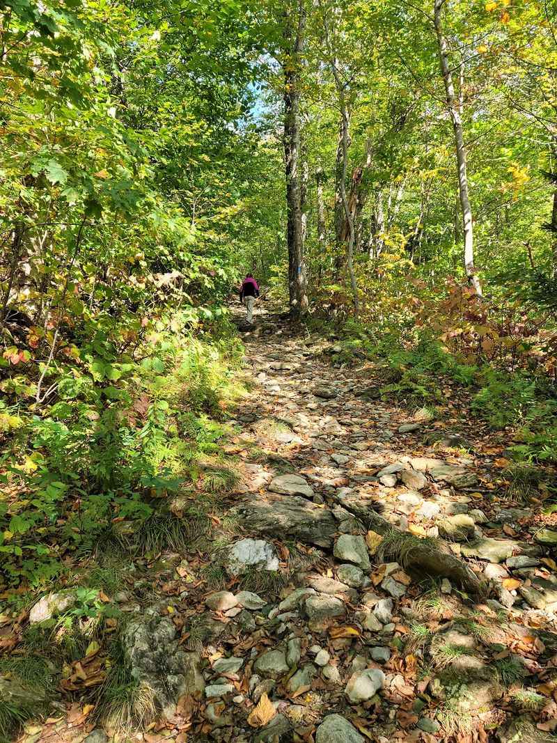
Gradual doesn’t mean easy on this 6.2-mile round trip to Massachusetts’ highest summit. The Cheshire Harbor Trail offers one of the more moderate approaches to Mount Greylock’s 3,491-foot peak, but sustained climbing over several miles still demands solid fitness.
This trail suits hikers ready to reach the state’s tallest point without tackling the steepest possible routes.
The path maintains a relatively steady grade rather than punishing steep sections, allowing you to settle into a sustainable climbing rhythm. Forest surrounds most of the route, providing shade and shelter from wind until you approach the summit area.
Birdsong and rustling leaves create the soundtrack for much of the ascent.
At the top, the Veterans War Memorial Tower dominates the skyline and provides a focal point for summit photos. On clear days, views extend across the Berkshires and into neighboring states.
The tower is usually open for visitors to climb for even more expansive panoramas. Allow 4-5 hours for the round trip including summit time.
The descent taxes tired legs, so pace yourself and use trekking poles if you have them.
Mount Greylock via Bellows Pipe Trail – Adams
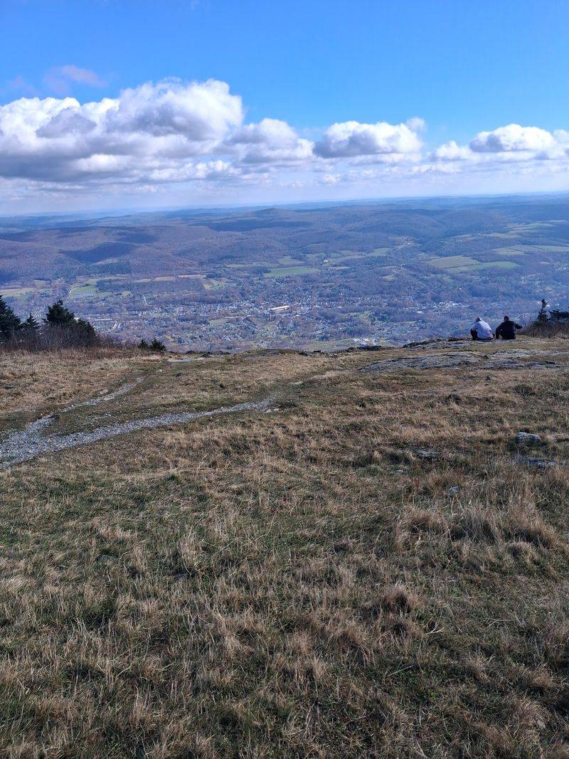
Steeper terrain and waterfall scenery distinguish this approach to Greylock’s summit. Bellows Pipe tackles the mountain more directly than Cheshire Harbor, packing the 5.7-mile round trip with more aggressive climbing.
Waterfalls add natural interest to offset the demanding ascent, giving you legitimate reasons to pause beyond catching your breath.
The trail follows a drainage, so you’ll hear water flowing for much of the lower sections. Several cascades provide scenic stopping points where you can refill water bottles (with proper filtration) and rest weary legs.
Beyond the falls, the path continues upward through forest that gradually transitions to higher-elevation character.
This route appeals to hikers who want the satisfaction of reaching Massachusetts’ highest point through sustained effort rather than a gentler approach. The climbing challenges your cardiovascular fitness and mental determination as the miles accumulate.
Summit facilities including the memorial tower and occasional visitor center (when open) provide welcome civilization after the wilderness ascent. Weather can deteriorate rapidly at the summit, so monitor conditions and turn back if clouds roll in bringing rain or lightning risks.
Mount Greylock via Thunderbolt Trail – Adams
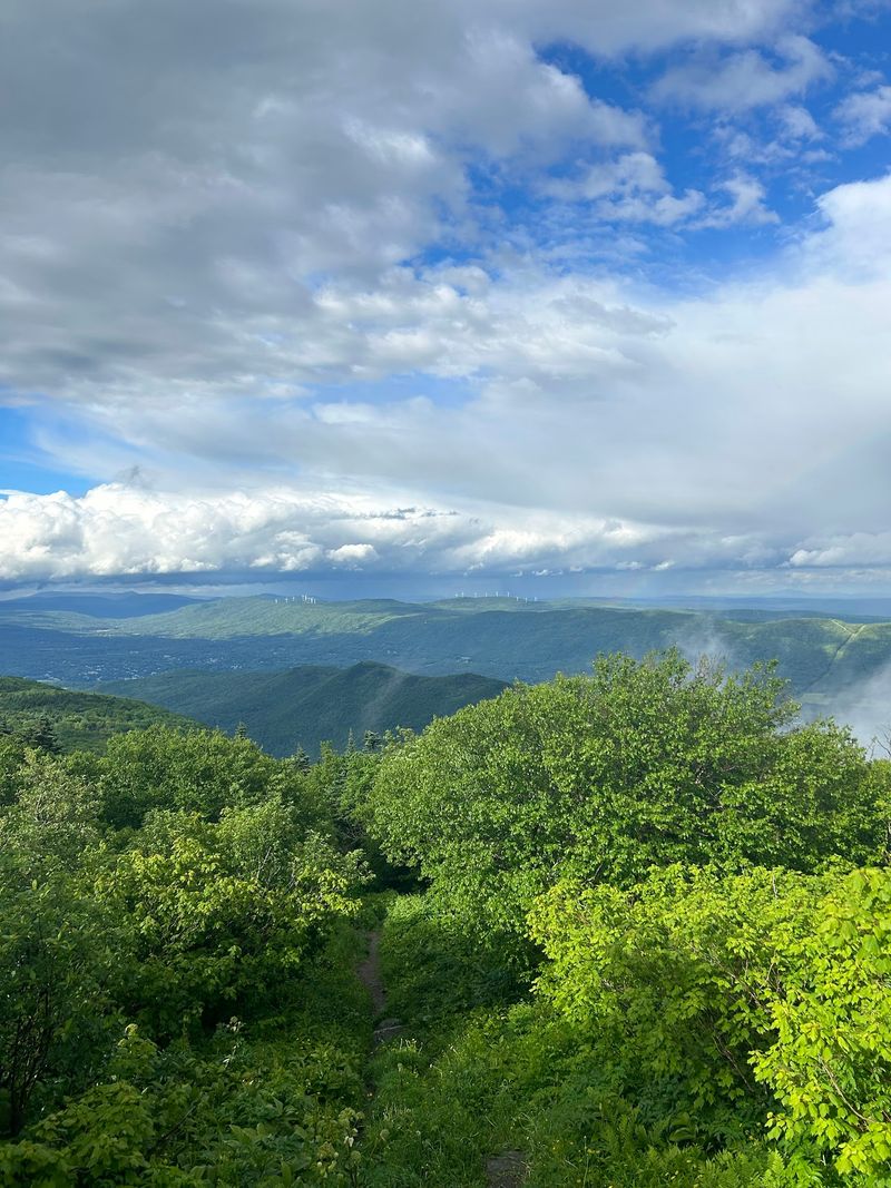
Shorter mileage translates to punishing steepness on this direct assault of Greylock’s eastern flank. The Thunderbolt Trail earns its reputation with a 4.8-mile round trip that packs substantial elevation into a compact route.
Experienced hikers seeking maximum challenge per mile will appreciate this trail’s no-nonsense approach to summit climbing.
Named after a historic ski trail that once descended this slope, Thunderbolt climbs relentlessly through terrain that modern skiers would find intimidating. The grade stays aggressive for extended sections, demanding strong legs and cardiovascular fitness.
Short breaks offer little recovery time before the trail pitches upward again.
Mental toughness matters as much as physical conditioning when the climb feels endless and the summit remains hidden above. The reward is reaching Massachusetts’ highest point through one of its most demanding routes, earning genuine bragging rights among local hiking circles.
This trail attracts hikers training for bigger mountains in New Hampshire or further afield. Descending the steep sections requires controlled movement and solid knee strength, so consider using trekking poles for stability and reduced joint impact on the way down.
Greylock in the Round – Mount Greylock State Reservation

Massachusetts’ ultimate day hike challenge traverses the entire Greylock range in a demanding 13-mile circuit. This route transforms the state’s highest mountain into a full-scale adventure requiring serious preparation, strong fitness, and proper equipment.
DCR estimates approximately 2,390 feet of elevation gain spread across roughly nine hours of hiking, placing this firmly at the top of the difficulty spectrum.
The circuit explores diverse terrain including the dramatic Hopper, multiple waterfalls, varied forest ecosystems, and the mountain’s full ridge system. You’ll experience Greylock from multiple perspectives rather than simply climbing to the summit and returning the same way.
Each section presents different challenges and scenery, keeping the long day interesting.
This hike demands meticulous planning including early starts, adequate food and water, proper layered clothing, and realistic fitness assessment. Weather can shift dramatically during the extended time on the mountain, so monitor forecasts carefully.
Only experienced hikers with proven endurance should attempt this route. The sense of accomplishment after completing Greylock in the Round ranks among the best Massachusetts hiking achievements available.