North Carolina’s rivers do not just cross the state.
They shape it, flavor it, flood it, feed it, and give every region its own personality, from misty mountain bends to slow coastal sweeps.
If you have ever looked at a map and wondered how one state can hold whitewater thrills, blackwater beauty, swampy curves, historic ports, and postcard sunsets all at once, these waterways are the answer.
We pulled together ten of the biggest and most fascinating rivers in North Carolina to show you where they run, what makes each one special, and why they deserve more than a quick glance from a highway bridge.
So grab your mental paddle, maybe an imaginary fishing hat, and let’s follow the currents through mountains, piedmont towns, farm country, and coastal plains to meet the rivers that keep North Carolina moving.
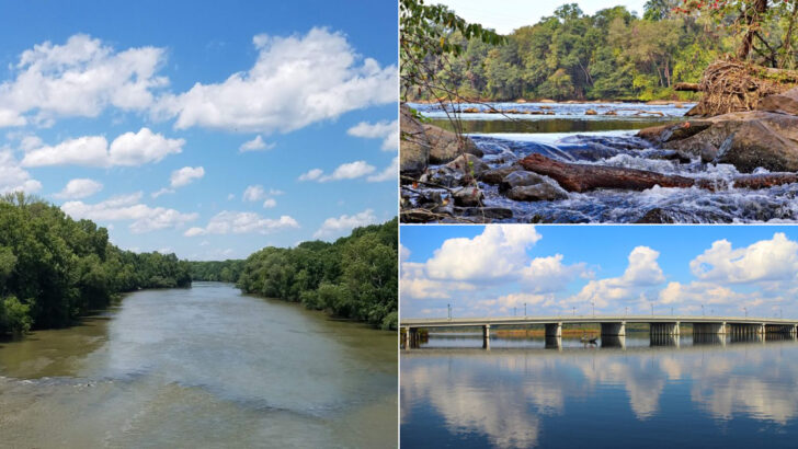
1. Cape Fear River
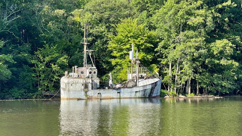
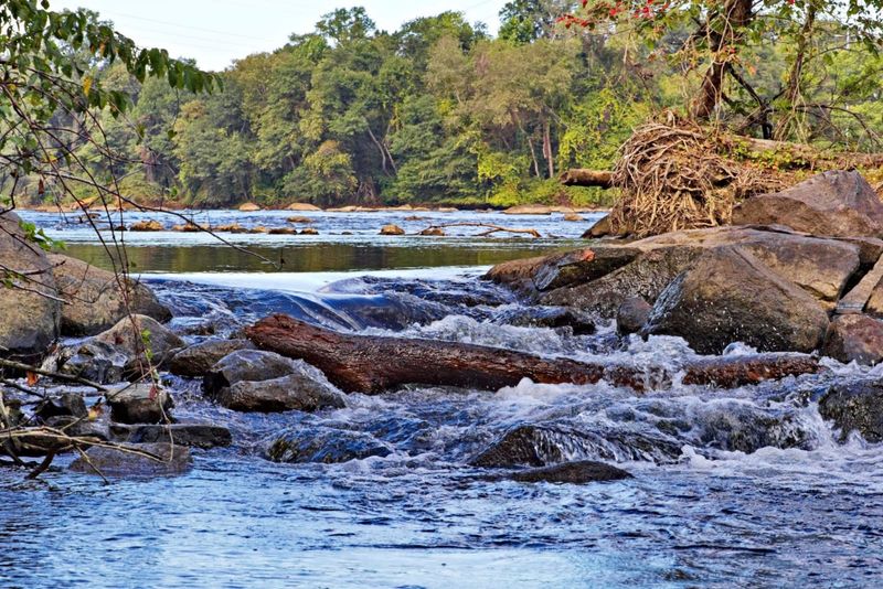
At first glance, the Cape Fear River looks like pure Southern drama in liquid form.
It is one of North Carolina’s longest rivers, formed at the meeting of the Haw and Deep rivers near Moncure.
From there, it travels southeast toward Wilmington and finally empties into the Atlantic near Cape Fear.
What makes this river memorable is its range.
Upstream, you get working landscapes, old industrial sites, and stretches bordered by hardwood forest.
Downstream, the river widens, slows, and starts acting like it knows it is approaching the coast.
The Cape Fear has powered mills, supported shipping, and helped build some of the state’s earliest settlements.
Wilmington grew because this river connected inland producers to ocean trade.
That practical history gives the river real backbone, not just scenic charm.
It also carries ecological importance.
Its basin supports fish, birds, wetlands, and estuarine habitats that matter far beyond one county line.
Spend a little time near the lower river, and you can almost feel fresh water negotiating with the tide.
If you want one river that captures North Carolina’s industrial past, coastal present, and wild edge, this is it.
The Cape Fear does not tiptoe across the map.
It enters like a headline and exits like a grand finale.
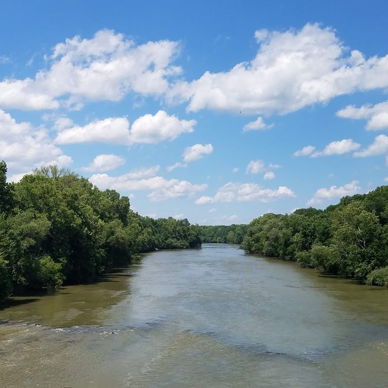
2. Neuse River
Few rivers in North Carolina cover as much geographic personality as the Neuse.
It begins where the Eno and Flat rivers meet in the Piedmont, then pushes southeast across the state toward Pamlico Sound.
By the time it reaches the coast, it has transformed from inland current to broad estuarine giant.
The Neuse is often called the longest river contained entirely within North Carolina.
That fact alone gives it bragging rights at any river reunion.
More importantly, it ties together urban centers, farmland, small towns, and fragile coastal ecosystems in one long watery thread.
Raleigh sits within its basin, so the river has long mattered for settlement, water supply, and land use planning.
Farther down, the Neuse opens into wide, wind-brushed reaches that feel more like inland sea than river.
That change in mood is part of its magic.
Historically, Indigenous communities, colonists, and later commercial travelers all depended on the Neuse.
Today, paddlers, anglers, birders, and day trippers still do.
You can experience it as a quiet trail companion or as a giant coastal force.
If a river could be a shape-shifter, the Neuse would win.
It starts with Piedmont purpose and ends with coastal swagger.
Follow it long enough, and you watch North Carolina itself slowly change around you.
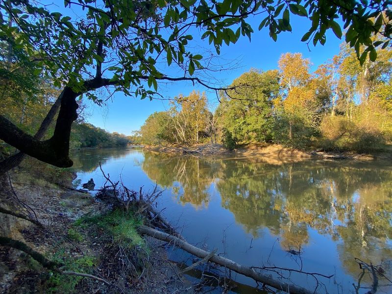
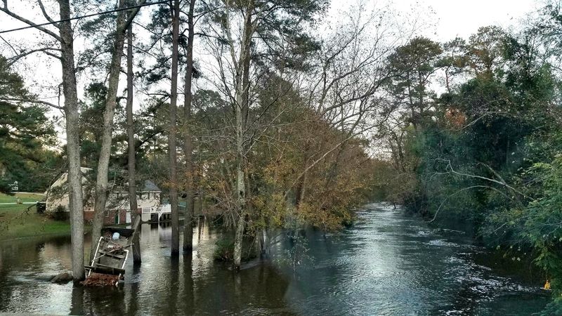
3. Tar River
The Tar River carries a name that sounds gritty, old, and impossible to forget.
It rises in the northern Piedmont near Roxboro and flows southeast through towns like Rocky Mount and Tarboro.
Later, it becomes the Pamlico River before reaching Pamlico Sound.
This river has a knack for blending modesty with importance.
It may not shout as loudly as some bigger-name waterways, but it has shaped eastern North Carolina for centuries.
Agriculture, trade, transportation, and community life all leaned on the Tar in one way or another.
The middle reaches can feel calm and deceptively simple.
Then you remember this river has flooded dramatically at times, reminding nearby communities who really holds the low ground.
Like many coastal plain rivers, it mixes beauty with a healthy respect for water’s power.
Its floodplain forests, wetlands, and fish habitats matter to the region’s ecology.
For paddlers and anglers, the Tar offers long, peaceful sections with changing scenery and fewer crowds than more famous destinations.
That lower-key charm is part of the appeal.
I like rivers with personality, and the Tar has plenty.
It feels historic without becoming dusty, and scenic without trying too hard.
Call it understated muscle with a reflective surface, which is a pretty good combination for any North Carolina river.
4. Roanoke River
Slide over to the northeastern part of the state, and the Roanoke River starts showing off.
It flows from Virginia into North Carolina, running toward Albemarle Sound through one of the East Coast’s most important river systems.
Wide channels, rich floodplains, and swamp forests give it an almost mythic atmosphere.
The Roanoke is not just big on a map.
It is a serious ecological heavyweight, especially for fish spawning and migratory species.
Its bottomland hardwood forests and wetlands support birds, amphibians, and countless other forms of life that thrive in seasonal flooding.
History also runs deep here.
The river corridor supported Indigenous communities long before European settlement.
Later, plantations, ferries, timber operations, and river commerce all left their marks on the landscape.
Today, parts of the Roanoke remain wonderfully wild.
Paddling certain sections can feel like entering a green cathedral with better mosquito attendance.
The calm surface often hides a landscape shaped by centuries of water, sediment, and flood cycles.
What stands out most is the scale.
The Roanoke feels expansive, ancient, and quietly powerful, like a river that has no interest in performing for attention.
If you want a North Carolina waterway that pairs real biodiversity with big-river presence, this one deserves a spot near the top of your list.
5. Yadkin River
The Yadkin River is one of those waterways that quietly does a huge job.
It rises in the northwestern part of North Carolina and travels through the Piedmont before eventually becoming part of the Pee Dee system.
Along the way, it touches farming regions, small communities, reservoirs, and stretches of classic inland scenery.
This river helps define central North Carolina’s geography.
Its basin is large, productive, and deeply tied to agriculture and water supply.
If the Cape Fear is coastal drama, the Yadkin is steady regional influence with work boots on.
Historically, the Yadkin served transportation, powered mills, and supported settlement patterns that shaped the Piedmont.
It also gave its name to communities and culture, which is usually a sign a river has earned respect.
You do not lend your name lightly in a place with this much history.
Scenically, the Yadkin offers broad bends, wooded banks, and views that feel grounded rather than flashy.
That calm visual rhythm makes it easy to overlook just how significant it is.
Yet this river threads through daily life for thousands of North Carolinians.
What I appreciate most is its balance.
The Yadkin feels practical, beautiful, and deeply woven into the state’s interior identity.
It may not demand applause, but it absolutely deserves it, especially from anyone who likes rivers with substance instead of showmanship.
6. French Broad River
Mountain rivers usually bring energy, and the French Broad arrives with plenty of it.
Flowing through western North Carolina near Asheville, this river is famous for its age, scenery, and recreational pull.
It begins near Rosman and heads northwest, eventually crossing into Tennessee.
One of its best conversation-starting facts is that the French Broad is considered among the oldest rivers in the world.
That is a serious flex for a waterway surrounded by breweries, trails, and blue ridge views.
Ancient river, modern cool factor, excellent combination.
The French Broad cuts through mountain valleys with a broad, often welcoming channel compared with steeper whitewater streams nearby.
It supports paddling, tubing, fishing, and riverside exploration, especially around Asheville’s revitalized riverfront areas.
People come for fun, but they stay because the landscape keeps stealing the spotlight.
Historically, the river served Indigenous travel, early settlement, and trade through the mountains.
Today, it still shapes development, conservation efforts, and tourism in western North Carolina.
Its presence is both practical and deeply atmospheric.
If you want a river that feels alive with motion, culture, and mountain character, the French Broad is hard to beat.
It is scenic without being sleepy and historic without acting stuffy.
Basically, it is the kind of river that makes you want to cancel your plans and find a kayak.
7. New River
The New River has one of the funniest names in American geography because it is famously very old.
Flowing through northwestern North Carolina before continuing into Virginia and West Virginia, it brings a calm, pastoral beauty to the mountain region.
Its North Carolina stretches feel gentle, open, and quietly captivating.
Unlike faster, more dramatic mountain rivers, the New often moves with a softer rhythm.
That makes it a favorite for canoeing, tubing, and long scenic floats.
The surrounding landscape of farms, hills, and wooded banks adds a relaxed kind of grandeur.
Geologists often mention the New River among the oldest river systems in North America.
So yes, the name is doing comedy whether it means to or not.
Still, the river’s age helps explain its broad valleys and settled, lived-in character.
Historically, communities in Ashe and Alleghany counties have relied on it for agriculture, local travel, and everyday landscape identity.
It also supports wildlife habitats that depend on clean, connected mountain waters.
That ecological role matters just as much as the postcard views.
The New River feels like a deep breath in water form.
It does not need to roar to impress you.
If you love mountain scenery with less adrenaline and more soul, this river is an easy one to fall for.
8. Catawba River
The Catawba River moves through North Carolina like a multitasking champion.
Rising in the Blue Ridge, it flows east and south through the foothills and Piedmont before continuing into South Carolina.
Along the way, it feeds reservoirs, supports cities, and still finds time to look good doing it.
This river is central to life in a big part of the state.
Communities around Morganton, Hickory, and Charlotte depend on the Catawba system for water supply, recreation, and power generation.
That gives it a daily relevance many scenic rivers can only dream about.
Because so much of the river has been impounded into lakes, people sometimes experience the Catawba as a chain of destinations rather than one continuous stream.
Yet its identity remains strong.
It links mountain runoff to growing urban regions in a way that is both useful and visually striking.
The basin also supports fish, birds, wetlands, and heavily used shorelines.
Managing all those demands is no small task.
This is a river that has to be beautiful, productive, and resilient at the same time.
If North Carolina handed out awards for versatility, the Catawba would need a bigger trophy shelf.
It is part natural corridor, part economic engine, part weekend playground.
That mix makes it one of the state’s most influential rivers, even when it is pretending to be a lake.
9. Lumber River
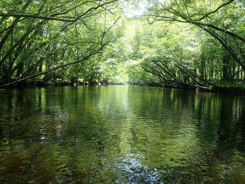
This southeastern North Carolina river is a celebrated blackwater stream, known for tea-colored water, swamp forests, and a slow, haunting beauty that feels almost cinematic.
It rises near the state line and winds through Robeson County before continuing toward South Carolina.
Its dark water comes from natural organic materials, not some mysterious river magic, though it certainly looks mysterious.
Cypress, tupelo, and wetland vegetation crowd the banks in many stretches.
That creates a rich habitat and a paddling experience that feels intimate and immersive.
The Lumber is protected in part as a National Wild and Scenic River, which tells you something important.
This river is valued not only for size, but for character and ecological integrity.
It supports fish, birds, reptiles, and floodplain communities that depend on healthy wetland systems.
Culturally, the river is deeply connected to the history of the Lumbee region and surrounding communities.
Its floodplain has shaped settlement, transportation, and local identity for generations.
That human story adds even more depth to the landscape.
If you like rivers that whisper instead of shout, the Lumber is unforgettable.
It trades big open views for atmosphere, texture, and quiet suspense.
One paddle here, and even the trees seem like they know a few secrets they are not ready to share.
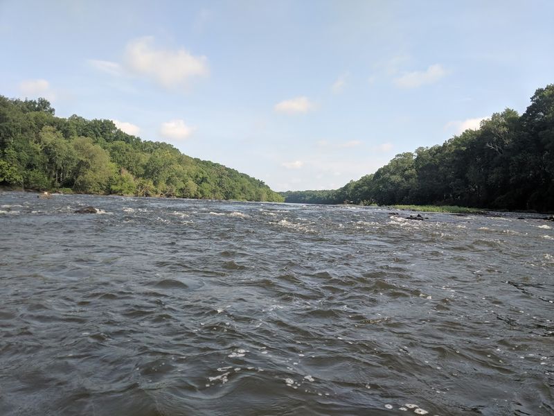
10. Broad River
True to its name, the Broad River offers a wide and sturdy presence as it moves through western North Carolina.
It begins where the Green River and First Broad River meet, then continues south into South Carolina.
Its route cuts across foothills and rolling terrain with a landscape that feels transitional and rugged.
The Broad often gets less spotlight than the French Broad or Catawba, but it deserves attention.
This river helps drain a large area and supports both natural habitats and human communities along the way.
It is a classic example of a hardworking river with scenic side benefits.
You will find stretches marked by forested banks, rocky shoals, and broad moving water.
Those features make it attractive for paddling and fishing, while also giving it a distinctly foothill character.
It feels less polished than some better-known waterways, which is part of the charm.
Historically, the Broad River corridor mattered for settlement, agriculture, and local industry.
Today, it remains tied to regional water resources and outdoor recreation.
Its importance is quiet, but it runs deep.
I think of the Broad as a river that does not need flashy branding.
It is sturdy, scenic, and genuinely rooted in place.
If you are tracing how North Carolina water moves from upland country toward the coastal plain and beyond, this river absolutely earns its seat at the table.