Ohio hides some of its greatest adventures where trains once rolled.
Trade traffic noise for birdsong as miles of former railroad corridors invite you to pedal farther, wander longer, and soak in scenery that never feels rushed.
One trail might carry you through towering forests, while the next leads past quiet farms, sparkling rivers, or welcoming small towns with ice cream shops waiting at the finish.
Every route has its own personality, making each outing feel fresh.
Whether you’re planning an all-day bike ride or a slow afternoon walk, these rail trails offer smooth paths, gentle grades, and plenty of reasons to stop for a photo or simply enjoy the view.
Grab your bike, lace up your walking shoes, and get ready to discover 14 Ohio rail trails that prove the journey can be every bit as memorable as the destination.
Little Miami Scenic Trail
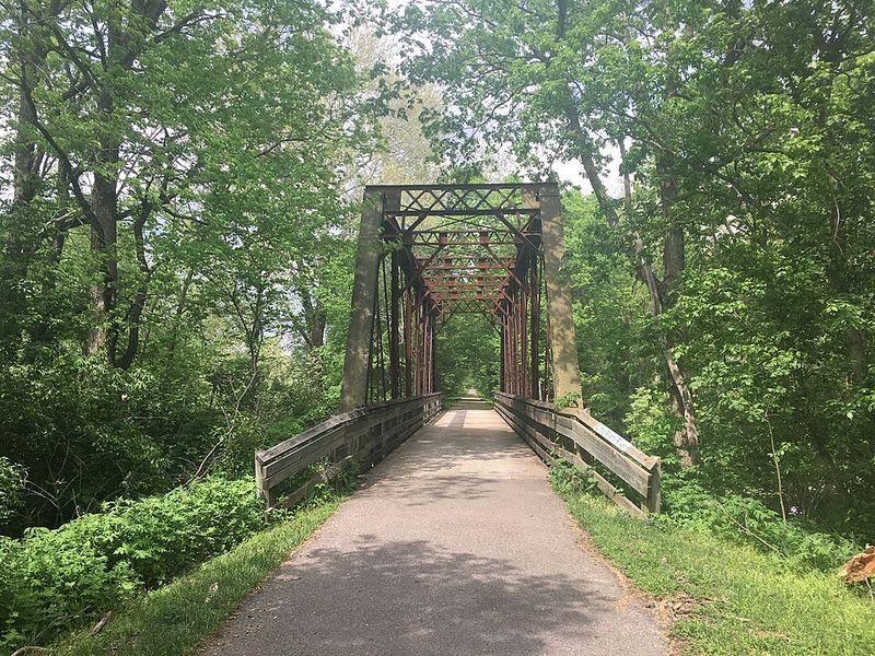
Stretching over 78 miles from Springfield to Cincinnati, this trail ranks among the longest paved rail trails in the entire country. Cyclists who love logging serious distance find this route absolutely perfect for training rides or weekend adventures.
The path meanders through charming river towns like Loveland and Morrow, where you can stop for ice cream, lunch, or just a quick break. Shaded sections provide relief on hot summer days, while scenic overlooks let you appreciate the Little Miami River’s beauty.
State parks and nature preserves dot the route, offering chances to spot wildlife or explore hiking trails.
Families appreciate the flat terrain and smooth pavement, making it accessible for riders of all ages and abilities. Multiple access points mean you can tackle the entire distance or just explore shorter sections.
Local bike shops near trailheads rent equipment and offer helpful advice about the best stretches to ride.
Ohio & Erie Canal Towpath Trail
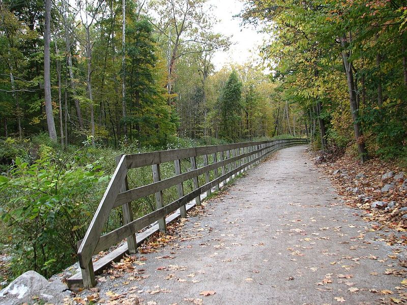
History comes alive along this remarkable trail that follows the route of the historic Ohio & Erie Canal through Cuyahoga Valley National Park. Original canal locks still stand alongside the path, telling stories of Ohio’s transportation past when mules pulled boats through these waterways.
The mostly flat, well-maintained surface welcomes both casual walkers and serious cyclists looking for peaceful rides. Dense forests give way to open wetlands where herons fish and turtles sun themselves on logs.
Downtown Cleveland sits at the northern end, while the southern sections wind through small towns and farmland.
Birdwatchers bring binoculars to spot over 200 species that call this corridor home. Park rangers lead occasional guided walks sharing fascinating details about canal operation and wildlife habitat.
The trail connects seamlessly with other regional paths, making multi-day bike trips entirely possible for adventurous riders seeking bigger challenges.
Kokosing Gap Trail
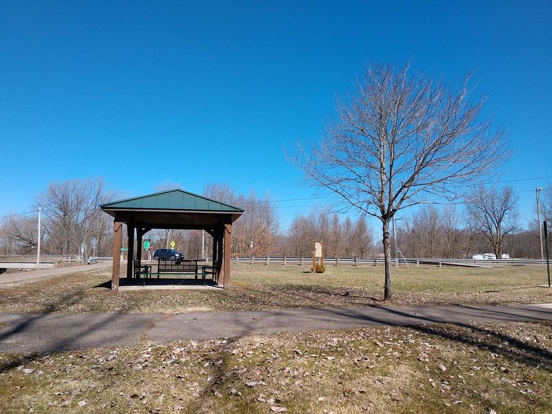
Restored railroad bridges become highlights along this beautifully maintained 14-mile trail that parallels the gentle Kokosing River. Engineers preserved these historic structures, transforming them into safe crossing points that offer stunning water views and photo opportunities.
Between Mount Vernon and Danville, the path winds through mixed woodlands and open farmland where corn and soybeans grow in endless rows. Strategically placed benches invite you to sit and watch the river flow past, while picnic areas make perfect lunch spots.
Small-town charm awaits at both trailheads with local restaurants and shops welcoming hungry cyclists.
The smooth asphalt surface and gentle grades make this route exceptionally relaxing, whether you pedal lazily or walk at your own pace. Spring wildflowers carpet the forest floor, while autumn transforms the canopy into brilliant reds and golds.
Local volunteers maintain the trail with obvious pride, keeping it clean and well-marked for everyone’s enjoyment.
Holmes County Trail
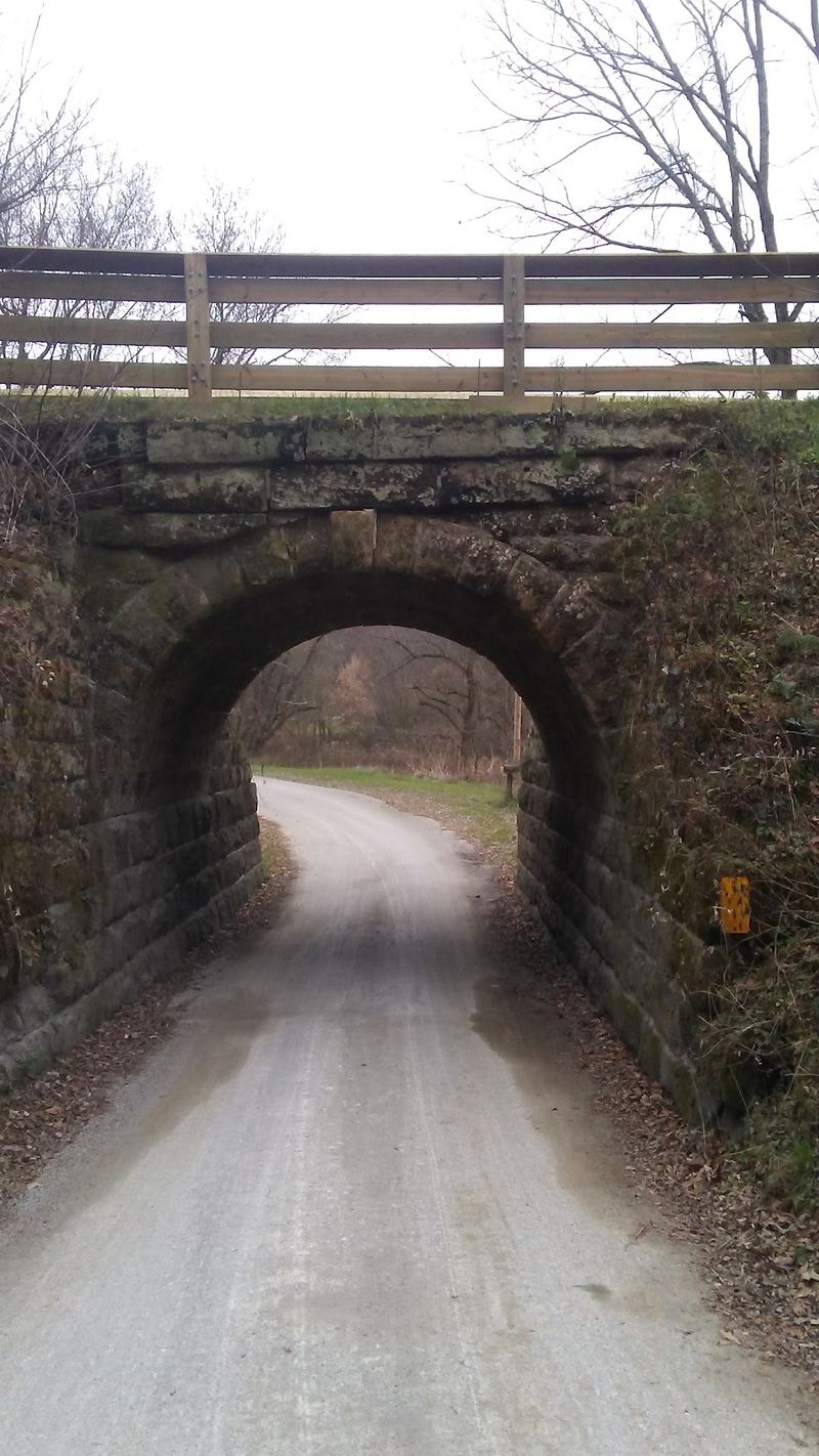
Buggy wheels click along country roads paralleling this unique 29-mile trail winding straight through Ohio’s largest Amish community. Nowhere else in the state can you combine cycling with authentic cultural experiences, spotting horse-drawn carriages and visiting working farms.
Roadside markets sell fresh produce, homemade jams, and baked goods that smell absolutely heavenly after you’ve worked up an appetite. Cheese shops offer samples of locally crafted varieties, while bakeries tempt you with frosted cookies and warm bread.
Rolling farmland stretches in every direction, creating postcard-perfect views of traditional barns and neat crop rows.
The terrain features gentle hills rather than pancake-flat paths, providing just enough challenge to keep things interesting without exhausting casual riders. Quiet countryside and minimal traffic make this route especially peaceful for contemplative afternoon walks.
Plan extra time for shopping and exploring since the cultural attractions prove as memorable as the trail itself.
Heart of Ohio Trail
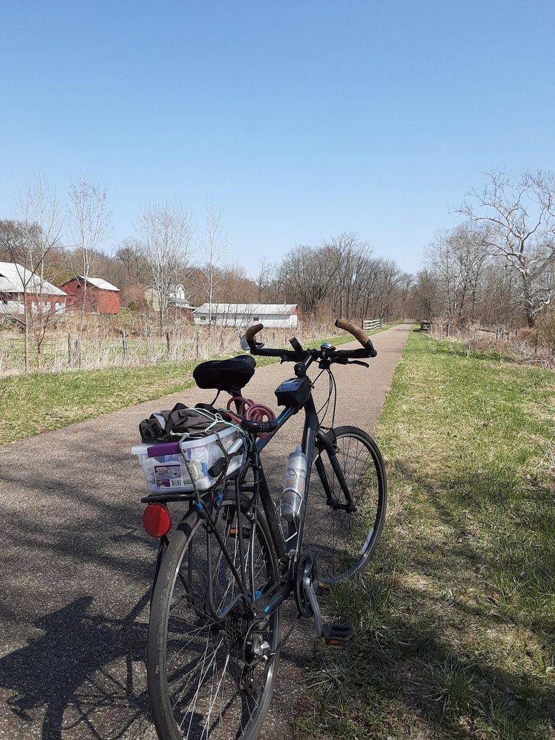
Connecting Centerburg with Mount Vernon across roughly 16 miles, this trail serves as a vital link in Ohio’s ambitious coast-to-coast trail system. Cyclists working toward completing the entire Ohio to Erie Trail often tackle this section while enjoying its peaceful rural character.
Open farmland dominates much of the route, offering wide sky views and sunsets that paint the horizon in spectacular colors. Wooded sections provide welcome shade during summer rides, while spring brings flowering trees and fresh green leaves.
The flat, easy terrain makes this perfect for families introducing young children to longer bike rides.
Multiple small communities near the trail offer convenient stopping points with restrooms, water, and snacks. Local pride in this recreational resource shows through regular maintenance and clear signage.
Though less famous than some Ohio trails, the Heart of Ohio delivers exactly what many riders seek: uncrowded paths and simple natural beauty without dramatic scenery or heavy tourist traffic.
Mohican Valley Trail
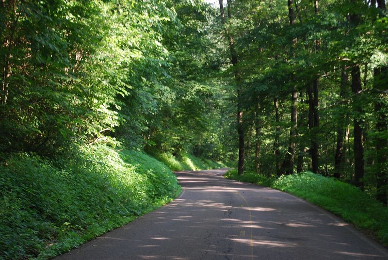
Running 4.5 miles between the tiny communities of Danville and Brinkhaven, this gem offers surprising solitude compared to Ohio’s busier trails. The Kokosing River accompanies your journey, sometimes visible through the trees and sometimes hidden by thick vegetation.
Dense forests create a tunnel effect in summer when leaves form a complete canopy overhead, dropping temperatures noticeably on hot days. Wildlife sightings happen frequently since fewer people mean animals feel comfortable near the trail.
Deer browse at the forest edge while songbirds fill the air with music.
The shorter length makes this ideal for leisurely afternoon outings rather than endurance challenges, though you can easily combine it with the nearby Kokosing Gap Trail for extended rides. Local cyclists consider this their secret favorite, appreciating its quiet beauty and lack of crowds.
Parking areas at both ends stay relatively empty even on nice weekends, ensuring you’ll find peace and space during your visit.
Sippo Valley Trail
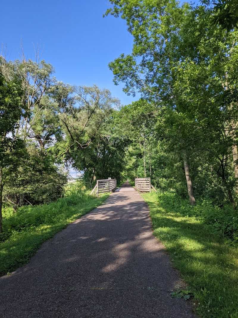
Stretching approximately 10 miles through western Stark County, this trail showcases the agricultural heartland that defines much of rural Ohio. Wide-open spaces let you see for miles across fields planted with corn, soybeans, and wheat that wave gently in the breeze.
Wetland sections attract remarkable bird diversity, making this trail especially popular with people carrying binoculars and field guides. Great blue herons stalk through shallow water while red-winged blackbirds perch on cattails.
The uncrowded path means you can stop frequently to watch wildlife without blocking other users.
Gentle grades throughout the entire route ensure even beginning cyclists can complete the full distance without struggling. The smooth pavement stays well-maintained, and county park officials regularly clear debris after storms.
Locals appreciate having this peaceful recreation option close to home, though visitors from neighboring counties increasingly discover its charms. Pack water and snacks since services stay limited along this more remote trail.
Camp Chase Trail
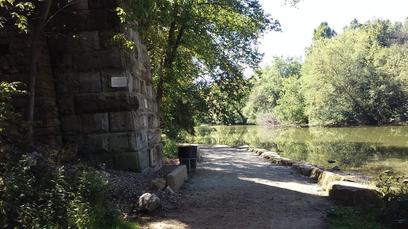
Starting its journey near downtown Columbus, this 16-mile trail transitions beautifully from urban neighborhoods to peaceful countryside as you pedal westward. Commuters use the eastern sections for car-free routes to work, while recreational riders enjoy the variety of scenery.
City parks and tree-lined residential areas gradually give way to open farmland and quiet rural roads. The trail’s name honors Camp Chase, a Civil War military camp and prison that once stood nearby, adding historical significance to your ride.
Interpretive signs share interesting stories about the area’s past.
Multiple road crossings require attention and occasional stops, but traffic lights and marked crosswalks keep things safe. The trail connects with other regional paths, letting ambitious cyclists plan extended tours across central Ohio.
Coffee shops and restaurants cluster near the Columbus end, providing convenient pre-ride fuel or post-ride refreshments. Weekend mornings see the heaviest use, though the path never feels truly crowded given its length and multiple access points.
Blackhand Gorge Trail
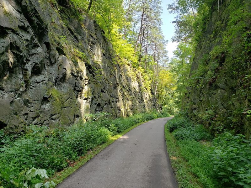
Towering sandstone cliffs rise dramatically above this spectacular 4.3-mile trail winding through Blackhand Gorge State Nature Preserve. Geological forces carved this narrow gorge over millions of years, creating scenery that feels almost otherworldly compared to typical Ohio landscapes.
The Licking River flows alongside much of the path, its waters sometimes rushing over rocks and sometimes pooling in calm stretches. Rock faces show interesting patterns and colors, while small caves and overhangs invite exploration.
Spring brings wildflowers blooming from cliff crevices, adding splashes of color against gray stone.
Despite the dramatic setting, the trail itself remains flat and easy, making this natural wonder accessible to everyone regardless of fitness level. Photographers love the unique scenery, especially during golden hour when sunlight illuminates the cliff faces.
The preserve protects this special ecosystem, so visitors must stay on designated paths and respect wildlife habitats. Plan to spend extra time here since the stunning views demand frequent stops for appreciation and photos.
North Coast Inland Trail
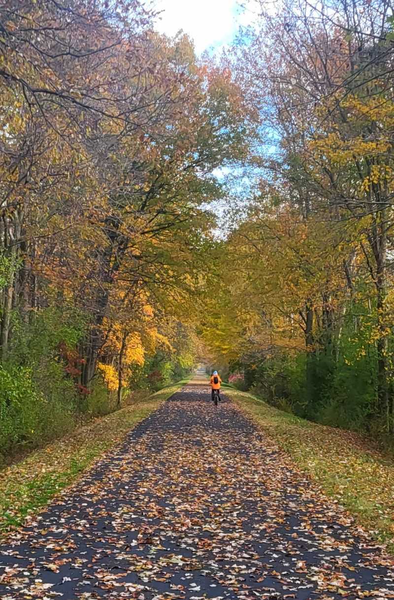
Spanning multiple northern Ohio counties with over 60 miles currently open, this developing trail system aims to eventually connect the Lake Erie shoreline with central Ohio communities. Long uninterrupted stretches make this perfect for cyclists training for distance events or simply loving to ride for hours.
Quiet farmland dominates the scenery, with occasional small towns breaking up the rural landscape. Wide-open views let you see approaching weather systems from miles away, so checking forecasts before riding makes good sense.
The flat terrain typical of northern Ohio means you can maintain steady speeds without exhausting climbs.
Limited services along remote sections require planning ahead with water and snacks, though small-town convenience stores appear often enough to prevent serious supply issues. Trail development continues steadily, with new sections opening regularly as communities recognize the economic and recreational benefits.
Early morning rides often mean you’ll have miles of trail practically to yourself, creating almost meditative experiences of motion and solitude.
Simon Kenton Trail
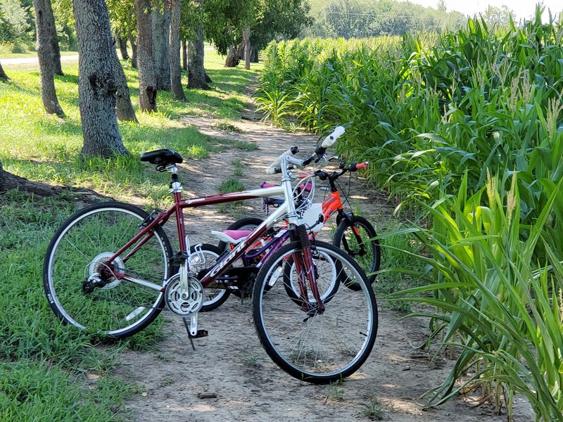
Historic train depots still stand along this 20-mile trail linking Bellefontaine with Urbana, reminding riders of the railroad heritage these paths preserve. Some buildings house trail information centers or small museums sharing local transportation history and community development stories.
Gentle terrain throughout the entire route makes this exceptionally accessible for riders of absolutely any skill level, from young children to seniors wanting low-impact exercise. Peaceful countryside surrounds you, with productive farms creating patchwork patterns across the landscape.
Small bridges cross creeks and drainage channels, adding visual interest without requiring dismounting.
Both endpoint communities welcome trail users with friendly restaurants, shops, and services that benefit economically from recreational tourism. Clear signage and regular maintenance demonstrate local commitment to keeping this resource in excellent condition.
The trail name honors Simon Kenton, a legendary frontiersman who explored this region during Ohio’s early settlement period. Spring and fall offer especially pleasant riding temperatures and beautiful seasonal changes in surrounding vegetation.
Hockhocking Adena Bikeway
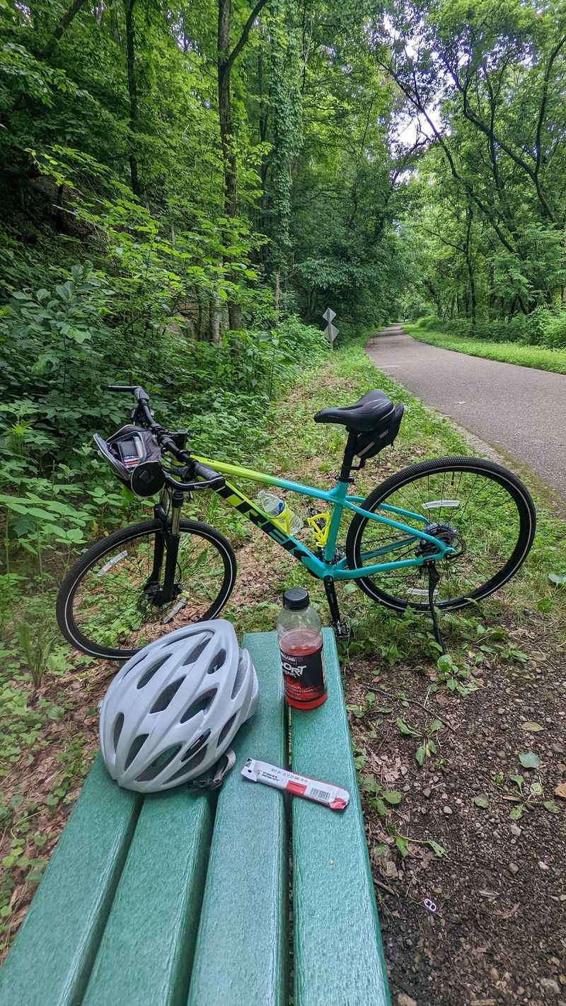
College-town energy meets outdoor recreation along this popular 21-mile trail linking Athens, Nelsonville, and surrounding communities in southeastern Ohio’s Appalachian foothills. Students, families, and serious cyclists all share this well-loved path that follows the scenic Hocking River through varied landscapes.
Wooded sections provide shade and wildlife viewing opportunities, while wetland areas attract waterfowl and amphibians. Several bridges cross the river and tributary streams, offering nice views and welcome variety.
The terrain stays relatively flat despite the hilly regional topography, since railroads required gentle grades.
Athens restaurants, cafes, and bike shops cluster near the trail, making this route especially convenient for combining riding with dining or shopping. Nelsonville’s historic downtown provides another good stopping point with local character and friendly businesses.
The trail sees steady use year-round except during harsh winter weather, creating a genuine community gathering space. Occasional festivals and organized rides draw extra crowds celebrating this valuable recreational resource that connects people with nature and neighbors.
Slippery Elm Trail
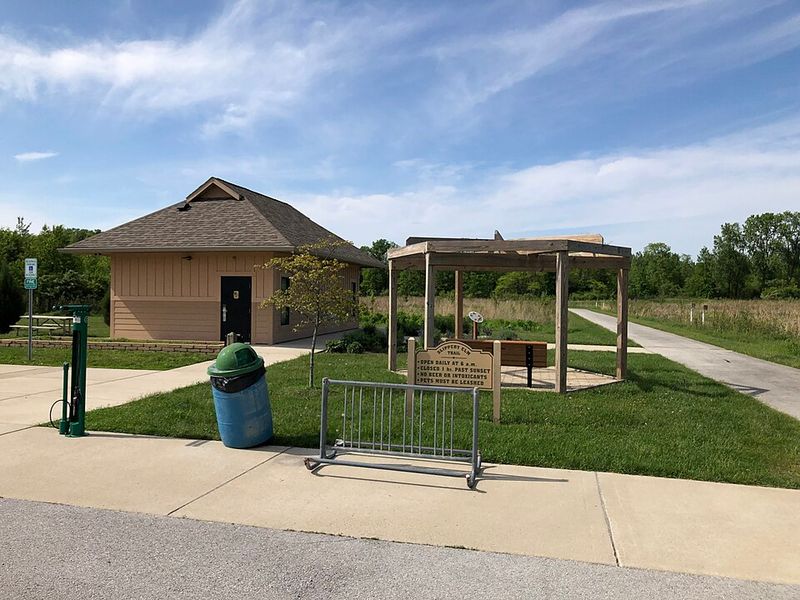
Bowling Green’s college atmosphere fades gently as you pedal northwest along this 13-mile trail toward the small community of North Baltimore. Forests alternate with farmland, creating pleasant variety that keeps the scenery interesting throughout your journey.
The smooth asphalt surface stays well-maintained by local trail organizations whose volunteers take obvious pride in this community resource. Small towns along the route offer convenient stopping points with basic services, though the overall character remains decidedly rural and peaceful.
Tree-lined sections create natural tunnels that stay noticeably cooler during summer heat.
Families appreciate the safe, car-free environment for teaching children cycling skills and building endurance gradually. The manageable length means most people can complete the entire trail in a single afternoon without feeling rushed or exhausted.
Local residents walk dogs, jog, and bike here regularly, creating a friendly atmosphere where you’ll likely exchange waves and greetings. Morning and evening rides offer the best chances for spotting deer, wild turkeys, and other wildlife that inhabit the surrounding countryside.
Great Guernsey Trail
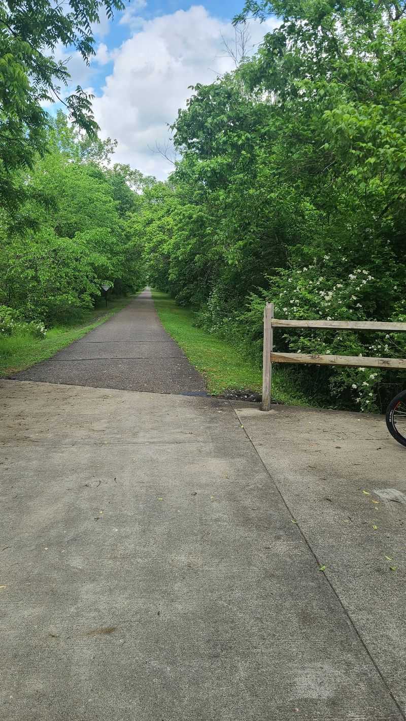
The Great Guernsey Trail offers one of eastern Ohio’s most relaxing outdoor escapes, combining small-town charm with peaceful countryside scenery. Built along a former Baltimore & Ohio Railroad corridor, this paved multi-use trail stretches for more than seven miles between Cambridge and Lore City.
Its gentle grade makes it comfortable for cyclists, walkers, runners, and families looking to spend a quiet afternoon outdoors without tackling steep hills.
As you travel the trail, you’ll pass wooded areas, open farmland, streams, and several restored railroad bridges that reflect the route’s railroad heritage. Wildlife sightings are common, especially in the early morning and evening, while the changing seasons bring colorful wildflowers in spring and brilliant foliage during autumn.
The trail’s wide, smooth surface is ideal for long bike rides or leisurely strolls, with plenty of opportunities to stop and enjoy the surrounding landscape.
The eastern trailhead in Cambridge provides convenient parking and easy access to nearby restaurants, shops, and local attractions, making it simple to turn a ride into a full day trip. Whether you’re training for longer distances or simply looking for a peaceful walk surrounded by nature, the Great Guernsey Trail is a rewarding destination that showcases the quieter side of Ohio’s rail-trail network.