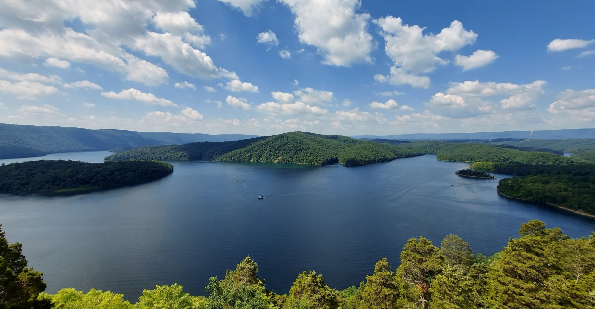
A quiet lake can hold the echoes of an entire community beneath its surface. Today, Raystown Lake stretches across Pennsylvania with boaters gliding over blue water and wooded hills rising along the shoreline, yet the valley below once looked very different.
Before the lake filled, homes, roads, farms, and historic places occupied parts of the landscape.
Stories about six villages disappearing beneath Raystown Lake have circulated for years, but the documented history is more nuanced. Aitch is one confirmed village associated with the flooded valley, while scattered homes and other historic sites also became part of the changing landscape.
That contrast between the peaceful lake above and the communities that once stood below gives the area a deeper sense of place. As you look closer, old maps, local stories, and traces of the past reveal a Pennsylvania landscape that was transformed forever.
The Valley Beneath the Water
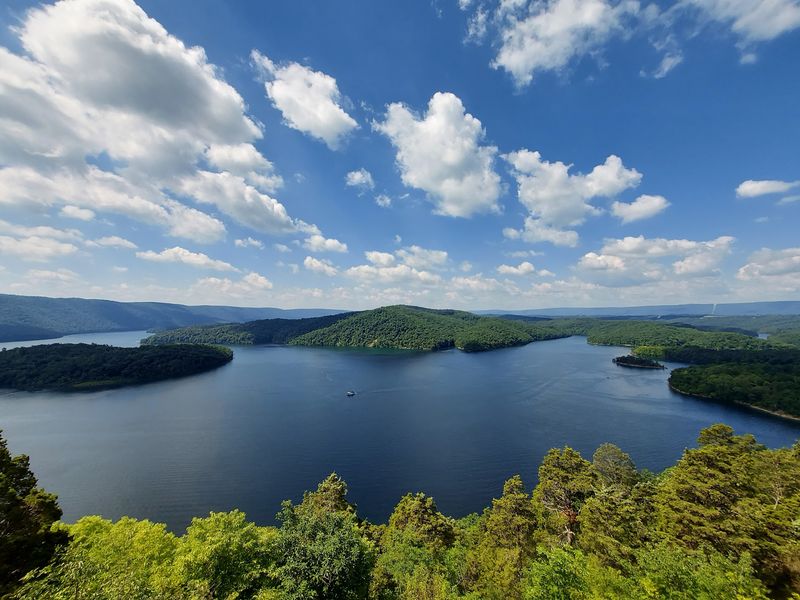
A quiet stretch of water can hide a surprising amount of history. Before Raystown Lake filled this valley, the Raystown Branch of the Juniata River wound past farms, roads, and places where neighbors met.
People traveled to school, worked their land, and knew the shape of the river long before boats crossed the reservoir.
The lake is now Pennsylvania’s largest lake entirely within the state. From a shoreline overlook, try picturing the valley before the water rose: a narrower river below, with homes spread across the hills and flats.
That picture is closer to the truth than the popular tale of six complete villages sitting untouched on the bottom. The strongest documented village story is Aitch; other losses included individual homes and rural properties.
For an easy first stop, visit the lake’s visitor center area and look across the water before choosing a trail or boat ride. A map can help you see how the long, winding reservoir follows the old river valley.
Enjoy the view, but leave room for the lives that came before it.
A Family Home Near the New Shore
Some losses are easiest to understand when you picture a front door. Generations of the Brumbaugh family knew the stone homestead near the area now associated with Raystown Lake.
Built in the early nineteenth century, it was tied to a family whose members included former Pennsylvania governor Martin Brumbaugh.
The house was not a village, and it should not be described as a whole home preserved beneath the lake. It stood on project property, where damage and neglect later left it in ruins.
Its story still helps explain what the reservoir changed: not only travel routes and buildings, but places that held generations of memories. A wall of old stone can make that loss feel more real than any number on a map.
Before seeking a closer look, check current public access rules with the U.S. Army Corps of Engineers.
Water levels, damaged structures, and protected property can make an unplanned visit unsafe or inappropriate. You can still appreciate the homestead’s history from published photos, then spend time along an approved lake trail thinking about the families who once called this valley home.
Roads That Led Across the Old Valley
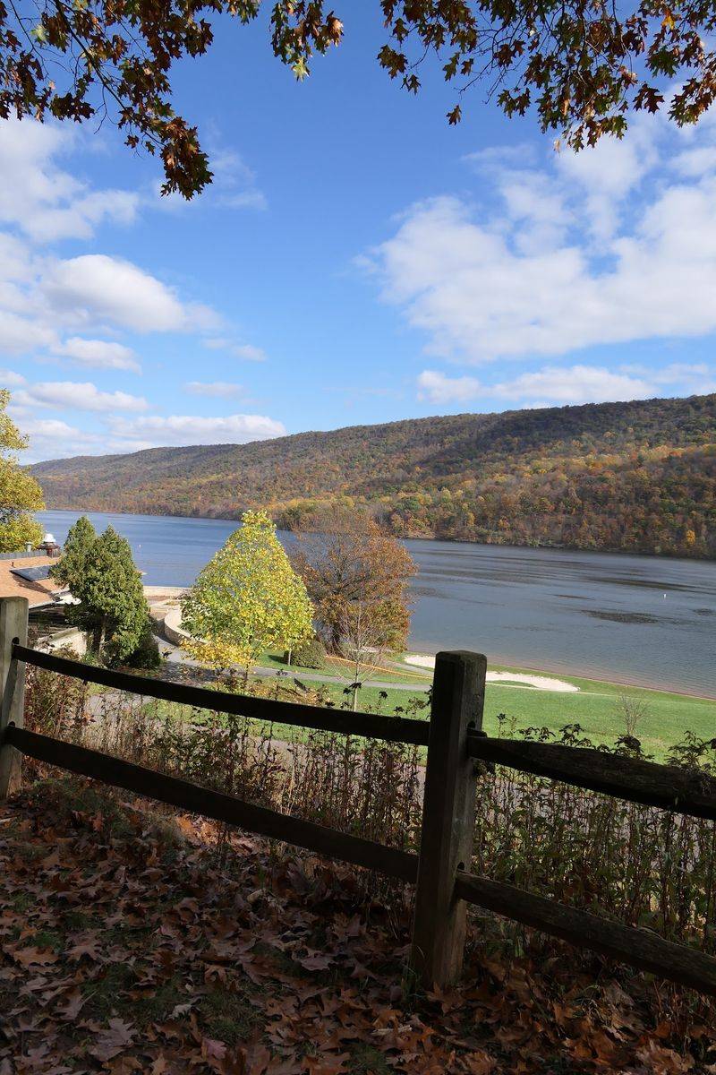
A road seems permanent until the landscape around it changes. Before the modern reservoir, crossings and travel routes linked people along the Raystown Branch valley.
Sections of old roadbed and other built features became part of the area transformed by the lake. They offer a different way to picture everyday life here: trips to a store, a neighbor’s house, or work.
Low water can sometimes reveal pieces of the former landscape, though no visitor should count on seeing a particular road or bridge. Reservoir levels change, and mud near the water’s edge can be unstable.
From a boat or a public overlook, it is safer to compare today’s shoreline with an older map than to hunt for exposed remains on foot.
Bring a downloaded map if you want to make that comparison, since phone service can be uneven around the hills. Watch how the lake bends through the valley and imagine how much longer a trip could be without today’s bridges.
It is a small exercise that gives the view another layer, even when every historic trace stays underwater.
The Railroad’s Missing Route
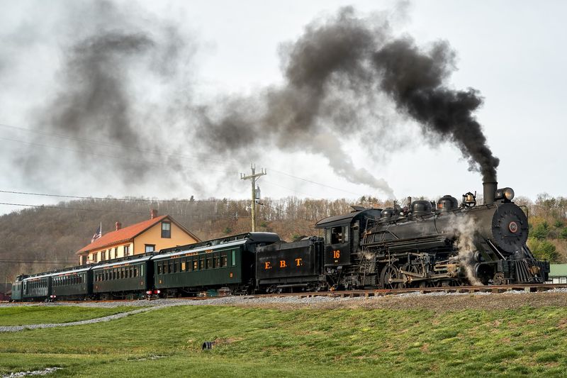
Long before motorboats crossed the water, trains helped connect communities in this part of Pennsylvania. The Huntingdon and Broad Top Mountain Railroad served the region for about a century, carrying travelers and goods through a landscape that later changed dramatically.
Its history is one reminder that the valley was connected to a wider world, not cut off from it.
Accounts of Raystown’s past often point to former rail routes and grades in the lake area. That does not mean you can see a train sitting beneath the surface.
Think instead of a working corridor: tracks, stops, and people planning their day around arrivals and departures. It is a less dramatic picture than a sunken locomotive, but a far more useful one.
For a closer sense of the past, compare historical railroad maps with a current map before your trip. At the lake, choose a safe public viewpoint and follow the shape of the valley with your eyes.
The wooded ridges and open water make a striking view on their own. Knowing that rail travel once shaped local routines makes the pause even richer.
The Dam Hidden by a Bigger Dam
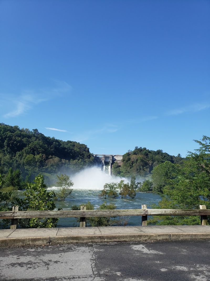
Here is a twist in Raystown’s story: the lake covered an older dam as well as parts of the valley. In the early twentieth century, a smaller project used the river to make electricity.
Its dam and powerhouse belonged to an earlier chapter of local engineering, decades before construction of the much larger reservoir visitors see today.
The earlier structure lies underwater near the modern dam area. Skilled divers have shown interest in its remains, but deep water and dam operations make this a poor goal for casual exploration.
There is no need to enter the water to appreciate the contrast. One generation built a dam to supply power; another built a much larger project chiefly to reduce flooding downstream.
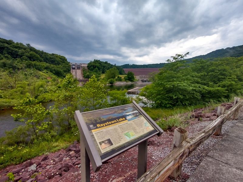
Visit an approved viewpoint near the present dam and take time to study its size against the surrounding hills. Follow posted signs, since areas around the structure may be restricted.
If you travel with children, ask them what problems each dam was meant to solve. The answer turns a broad view of concrete and water into a story about changing needs.
Why the Water Rose
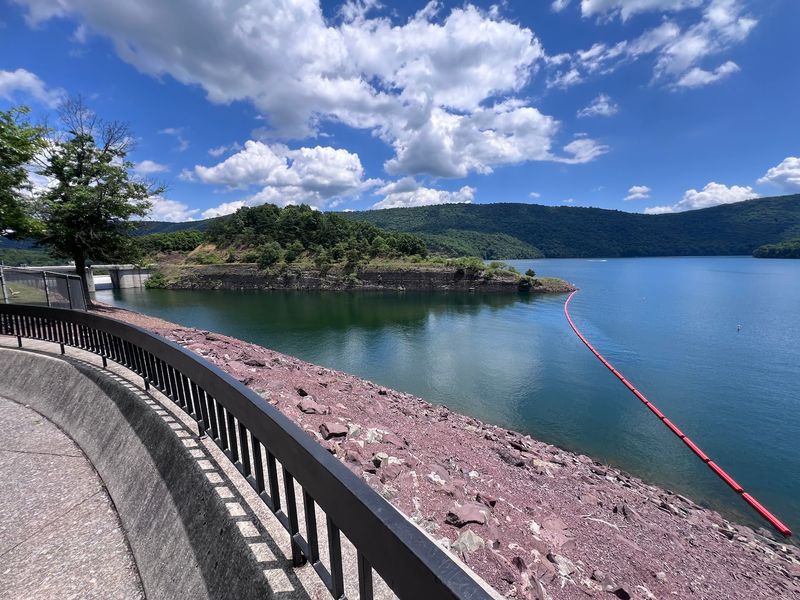
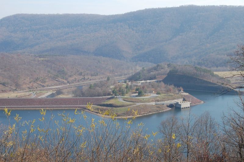
From above, the lake curls between wooded hills like a broad blue ribbon. Raystown Lake stretches roughly 28 miles, a size that can make its shoreline feel almost endless from a small boat.
Yet this reservoir was not created simply to give people a place to swim or fish. Flood control was a central reason for building the modern dam.
Floods had caused serious damage downstream, and the federal project took shape during the 1960s and early 1970s. The dam was completed in 1973, transforming the old river valley into the lake seen today.
Recreation became an important part of the result, but the project’s benefits came alongside difficult changes for people whose land and homes lay in its path.
To understand both sides, begin near the dam or at an official visitor information point. Look for exhibits or maps that explain how a reservoir holds and releases water.
Then step outside and take in the scale of the hills and shoreline. The same engineering that helps protect communities downstream also reshaped a community’s familiar world upstream.
The Families Behind the Flood Line
A number on a project map cannot show what it feels like to leave a familiar porch. Creating the larger Raystown Lake meant moving year-round residents and removing many seasonal cottages.
For the people affected, the change involved far more than packing furniture. It could mean losing a garden, a favorite riverbank, or the easy walk to a neighbor’s home.
The lake brought flood protection and new places to enjoy the outdoors. Both can be true at once: a public project may help many people while asking others to give up a great deal.
Remembering that balance makes the story more honest than calling the reservoir either a simple triumph or a hidden ghost town.
During a visit, set aside a few minutes for the human side of the landscape. Historical photographs and local accounts can help you picture ordinary rooms and yards where there is now water.
Share those stories with young travelers in plain terms: families had to move so the lake could be built. That simple fact gives a boat ride or shoreline picnic a deeper meaning.
A Day on the Lake With Its Past in Mind
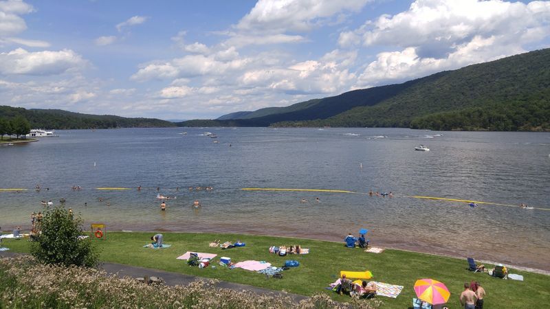
Sunlight on the water makes it easy to forget that this lake has more than one story. Today, Raystown Lake welcomes boaters, anglers, campers, and people who simply want a view of Pennsylvania’s wooded hills.
A day here can be cheerful and thoughtful at the same time. You do not have to search the depths to connect with its past.
Choose an activity that gives you time to notice the shoreline. A slow boat ride shows how the reservoir follows the former river valley; a hike offers a wider view from land.
Bring water, check the weather, and follow boating or trail rules. If you plan to fish, confirm current license requirements before you cast a line.
Later, tell your travel companions what you learned about Aitch, the former dam, or the families who moved. Avoid repeating the claim that six intact villages wait beneath the surface: the known record supports a more varied story.
That truth is moving enough. As the hills darken at day’s end, the lake can feel both lively and full of memory.