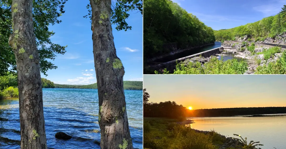
Glassy water stretches for miles between forested hills, looking so peaceful it is hard to imagine what lies beneath.
Quabbin Reservoir in central Massachusetts is one of the largest man-made public water supplies in the United States.
In the 1930s, four entire towns, Dana, Enfield, Greenwich, and Prescott, were disincorporated and cleared so the valley could be flooded.
Today the reservoir supplies drinking water to the Boston area, and its protected lands have become a haven for wildlife.
Visitors can explore scenic overlooks, walk across Winsor Dam, and stop by the visitor center to learn the valley’s bittersweet story.
Bring binoculars and a curious mind, and take time to appreciate both the beauty and the history of this remarkable place.
A Beautiful View With a Hidden Past
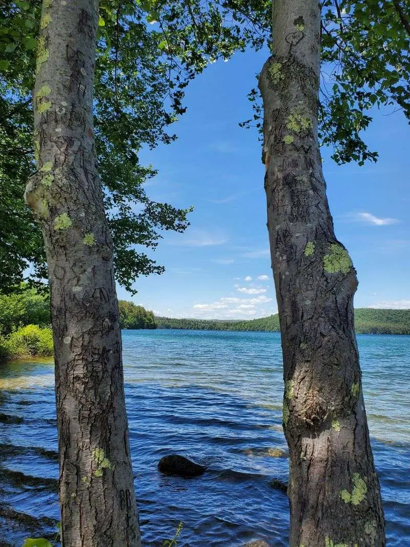
From a quiet overlook, the water seems to stretch forever. Quabbin Reservoir, Massachusetts, has more than 180 miles of shoreline, and wooded hills frame many of its views. It is easy to understand why people come here to walk, take pictures, and enjoy the fresh air.
Yet the calm scene covers a valley that once held homes, farms, shops, and roads. Creating the reservoir meant changing that valley completely. Four towns disappeared from official maps, and their residents had to begin again elsewhere.
That contrast makes a visit more meaningful. Pause before heading down a trail and picture an ordinary morning in a small town: someone opening a store, children going to school, and neighbors stopping to talk. The landscape was not empty before the water arrived.
For an easy first visit, choose an established overlook or a marked walking route. Bring water, wear comfortable shoes, and check current access rules before leaving home. Some areas are open for walking, while others protect the drinking water supply and wildlife.
Enjoy the scenery, but leave room for the people whose lives were changed. The best view here includes both the lake you can see and the history you cannot.
Four Towns That Had to Go
Imagine being told that your hometown would soon stop existing. That happened to residents of Dana, Enfield, Greenwich, and Prescott. The four towns were officially disincorporated in 1938 as the reservoir project moved forward.
Their names did not vanish from family stories, even though they disappeared from town maps. People remembered schools, churches, favorite neighbors, and the routes they took to visit relatives. Losing a town meant more than losing a collection of buildings.
Not every former street lies underwater today. Some land around the reservoir stayed above the waterline, while other places were changed during construction and clearing. That detail matters because the history is more complicated than the idea of four towns sitting untouched beneath a lake.
Before visiting, look for a historical map of the valley and compare it with a current one. Spotting the old town names can help you understand just how large the project was. If you encounter a historic site on a permitted trail, treat it as a place people once called home, not a collection of souvenirs.
Photographs and memories remain valuable records. They show that each erased town had its own daily life, and that every line changed on a map affected real families.
Why the Water Was Needed
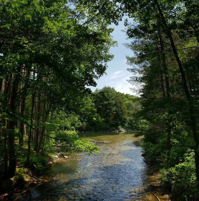
City taps may seem far removed from a forested valley. In the early twentieth century, however, leaders needed a dependable new water source for a growing population. The reservoir became a major part of the system that supplies drinking water to communities in eastern Massachusetts.
Its purpose helps explain why the project was built, but it does not erase what residents lost. That is the hard part of the story. A public resource can help many people while placing a heavy burden on others.
Water quality still shapes what visitors can do here. Rules protect the land around the reservoir from pollution, so do not assume that swimming, camping, or bringing a pet is allowed. Check the latest rules for the particular gate or activity you plan to use. Fishing and boating have their own restrictions, and access may change by season.
A simple habit makes a difference: carry out every wrapper and stay on permitted routes. Even small amounts of litter can harm wildlife or threaten clean water. Explain the connection to children as you walk. The water in the distance is not just scenery; it is part of an everyday service that many households rely on.
A Valley Remade Before It Filled
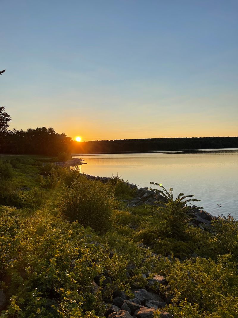
The water did not rise over a fully standing town overnight. Years of planning, construction, and clearing came first. Buildings were removed, trees were cut in areas set to flood, and roads were changed as crews prepared the valley.
Residents moved away before their former neighborhoods became part of the reservoir landscape. Cemeteries required special care too: graves were relocated rather than simply left beneath the water. For families, those changes reached into both daily life and the way they remembered earlier generations.
Popular stories sometimes picture church steeples standing below the surface. That dramatic image can give the wrong idea about how thoroughly the area was prepared. When you hear a striking tale about the reservoir, compare it with records from trusted historical groups or water officials.
There is plenty of real history without adding a ghost story. Think about the work involved in moving a household, saying goodbye to familiar roads, and watching a landscape change beyond recognition. Old photographs can make those choices easier to grasp than a date on a sign.
Look carefully at exhibits and historical images when they are available. They help show the steps between a lived-in valley and the broad sheet of water visitors know today.
What Old Roads Can Tell You
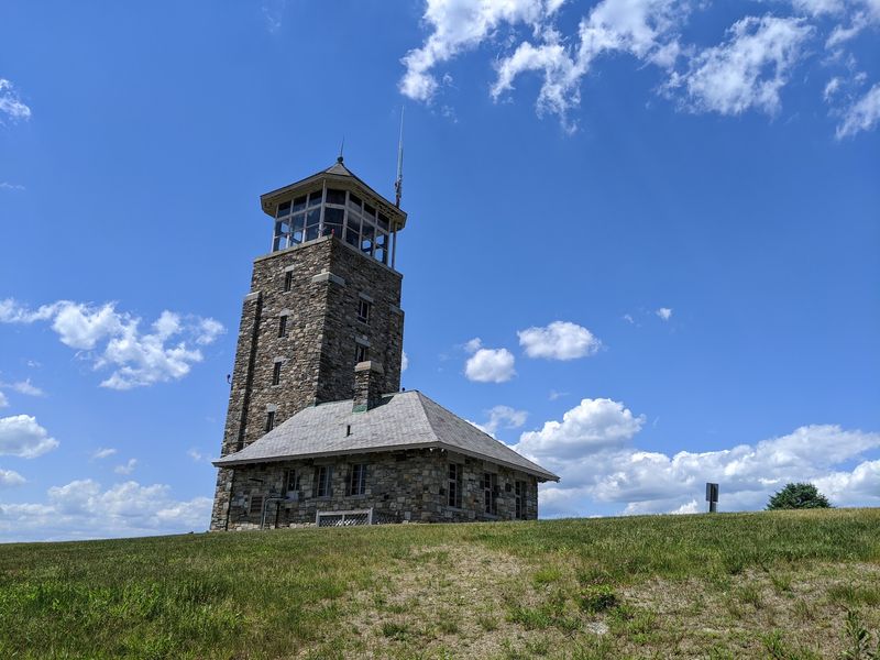
A road disappearing into the trees can make you wonder where it once led. Across the protected landscape, traces of older routes and former community spaces help connect today’s quiet paths with the valley’s past. Some reminders are easy to miss unless you know what you are looking for.
Historic maps offer a useful starting point. Compare one with a current visitor map before you set out, but remember that an old road on paper is not an invitation to cross a closed gate. Access rules exist to protect drinking water, wildlife, and visitors.
Stay on routes open to the public and obey every posted sign. Cell service may be uneven, so save directions ahead of time and tell someone where you plan to walk. A short trip can feel much longer when you are unsure which gate leads back to your car.
Bring a camera rather than taking an object home. A stone, foundation, or bit of old pavement may help tell a story, even if it looks ordinary at first. Leaving things in place gives the next visitor the same chance to discover them.
Curiosity is welcome here, but respect matters more. The goal is not to hunt for a lost town like treasure; it is to notice evidence of lives that came before the reservoir.
A Dam That Changed the Horizon
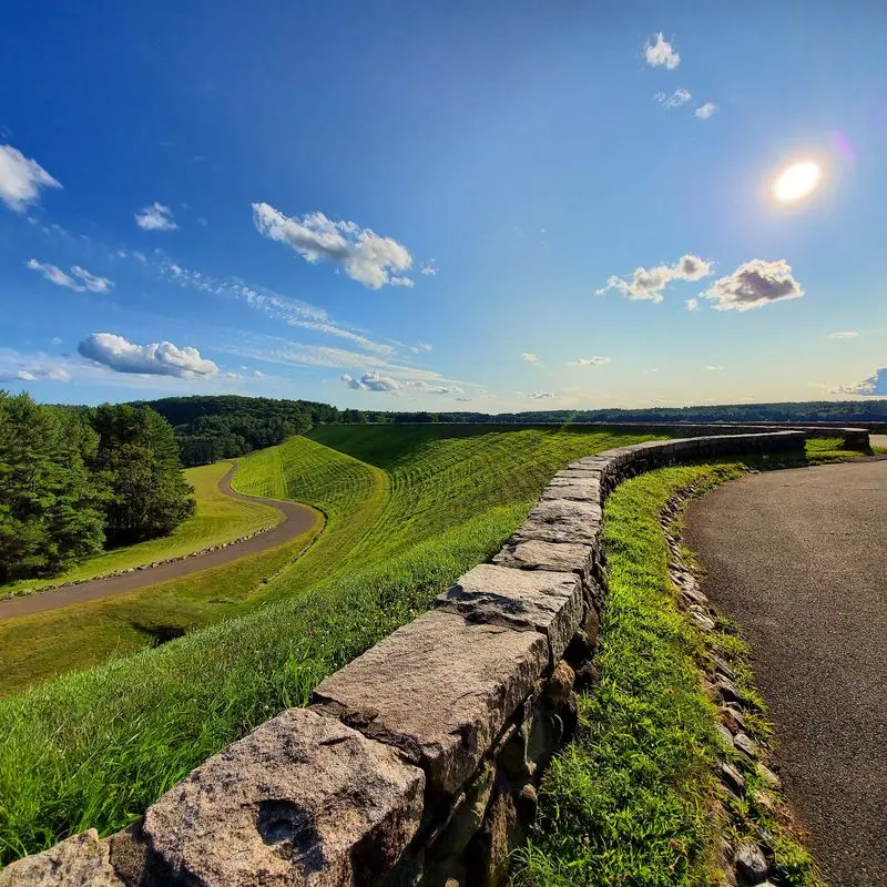
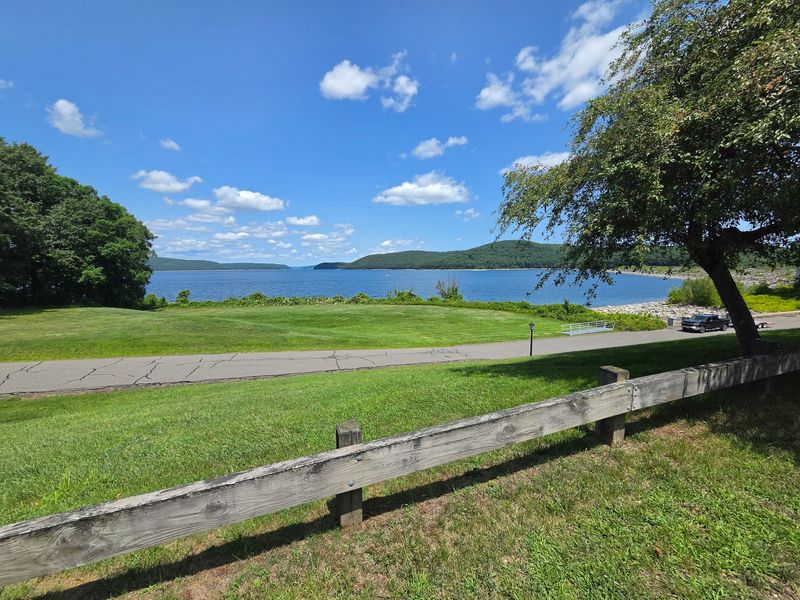
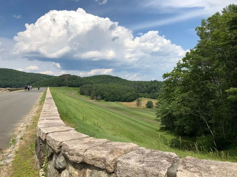
Stand near a massive earthwork and the size of the project starts to make sense. Winsor Dam is one of the structures that helped turn the valley into a reservoir. It is a striking reminder that the shoreline was shaped by engineering, not just nature.
From nearby public viewing areas, visitors can take in broad views of the water and surrounding hills. The scene works well for a short outing when a long hike is not practical. Weather can shift quickly in an open area, so bring an extra layer even if the day starts warm.
Take a moment to look in both directions. One side helps show the scale of the stored water; the other invites you to think about the land and communities changed to create it. That simple pause turns a photo stop into a history lesson.
Follow current signs for parking and walking access. Do not climb barriers or enter closed maintenance areas for a better picture. There are safe places to enjoy the view without putting yourself or the water system at risk.
If you are visiting with children, ask them to imagine building a wall big enough to hold back a lake. Then talk about the people who lived in the valley before that wall existed.
Wildlife in a Protected Landscape
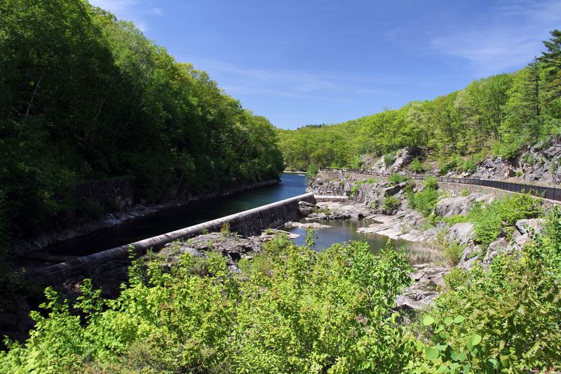
Keep your eyes on the treetops as well as the water. Protected land around the reservoir offers habitat for birds and other wildlife, making a quiet walk feel full of surprises. Visitors may spot deer, and patient birdwatchers sometimes look for bald eagles.
Wild animals do not follow a schedule. Binoculars let you watch from a distance without crowding them, and an early start can make it easier to hear birds before paths grow busy. Never feed an animal, even if it seems comfortable around people.
The woods also call for common sense. Use tick repellent, stay on open trails, and check your clothing and skin after walking through grassy or wooded areas. Dress for the season and carry enough water for your planned route.
A peaceful landscape can still be working hard. Forests help protect the watershed, which is the land that drains toward the reservoir. Keeping that land healthy supports clean water and gives wildlife room to live.
Try making a simple list of what you see and hear during your visit. A feather on the path, a distant call, or tracks in soft ground can turn a short walk into a closer look at the place without disturbing anything.
How to Visit With Care
A little planning makes a day beside the water easier and more respectful. Start by choosing a public entrance and checking its current hours, parking options, and permitted activities. Different areas offer different experiences, from short scenic walks to longer routes.
Bring a paper map or saved directions, especially if you plan to explore beyond a main viewing area. Pack drinking water, a snack, and shoes suited to uneven ground. Restroom options can be limited, and a gate that works for one visitor may not have the facilities another person needs.
Leave pets at home where rules prohibit them, and never treat the reservoir like a swimming beach. If fishing or boating interests you, read the specific rules before making plans. Protecting a drinking water supply affects what is allowed on and near the water.
History deserves the same care as nature. Read signs, photograph what you find, and avoid moving stones or entering closed areas. You can enjoy a picnic where permitted while still remembering that families once built their lives in this valley.
Before you leave, look back across the shoreline. The view is impressive on its own, but knowing what changed here gives the quiet landscape a deeper meaning.