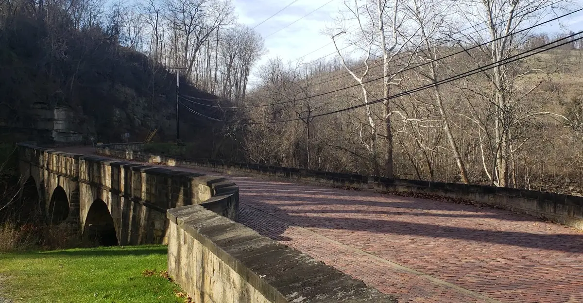
Car and Driver once put a curvy road through southeast Ohio on its list of the best driving roads in America. It runs past old covered bridges and through a national forest.
That alone made me want to grab the keys.
That road has company, too. One Ohio byway traces America’s first federally funded highway.
Another follows a river named in a famous song about an old mill stream.
Thanksgiving weekend feels like the right time for this kind of trip. You have extra days off and plenty of leftovers to pack for the road.
I love the idea of trading store lines for winding pavement. Some of these routes pass ancient earthworks, while others pass caves and waterfalls.
I keep wondering which one I’d pick first, and I suspect you’ll wonder the same.
1. Hocking Hills Scenic Byway
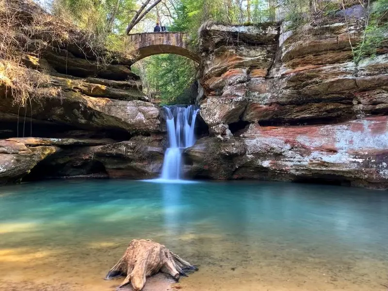
Six park areas, one road, and zero excuses to stay on the couch. That’s the deal on this 26-mile route through southeast Ohio.
The byway mostly follows State Route 374, then joins Routes 664 and 56. Along the way, it links the separate sites of Hocking Hills State Park like beads on a string.
You can stop at Old Man’s Cave, which is often the starting point for first-time visitors. Ash Cave is the largest recess cave in Ohio, and its size is hard to forget.
Cedar Falls is known for pushing the most water of the area’s falls. Rock House, Cantwell Cliffs, and Conkle’s Hollow State Nature Preserve round out the list nicely.
History hides in the trees here, too. The Civilian Conservation Corps planted many of the larger pines and built some park structures in the 1930s.
A Black CCC company once had its headquarters along this very byway. Ohio officially named the route a scenic byway in May 2004.
Late November means bare branches, which can actually open up the cliff views. Pack layers, sturdy shoes, and maybe a thermos, because trails can be slick.
Address: 19852 OH-664, Logan, OH 43138 (Hocking Hills State Park Visitor Center at Old Man’s Cave)
2. Amish Country Byway
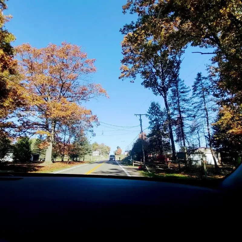
Horse-drawn buggies set the speed limit around here, and honestly, that’s a gift. Slowing down is kind of the whole point of this drive.
Rather than one straight line, the byway is a looping network of roads through Holmes County farmland. Part of it carries a National Scenic Byway title.
Millersburg, Berlin, and Walnut Creek anchor the trip with shops and small-town streets. Winesburg, founded in 1827, adds another quiet stop with a rural feel.
The area is home to what’s considered the largest Amish settlement in the world by population. So give buggies plenty of room and pass with patience.
Want a bonus stop? The Bridge of Dreams in Brinkhaven stretches 370 feet across the Mohican River and ranks among the longest covered bridges in the country.
Got extra time? A short detour to Kidron leads to Lehman’s, the old-fashioned hardware store founded in 1955.
Thanksgiving weekend is a fun time to grab holiday gifts here. Just remember that many Amish businesses close on Sundays, so plan your shopping for Friday or Saturday.
Address: 6 W Jackson St, Millersburg, OH 44654 (Holmes County Chamber of Commerce and Tourism Bureau)
3. Covered Bridge Scenic Byway
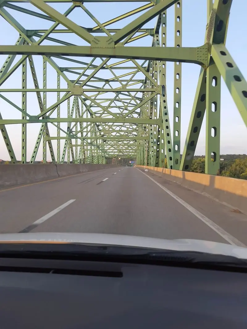
Car and Driver called this one of the best driving roads in America. Curves, creeks, and covered bridges will do that for a road’s reputation.
Starting near Marietta, the route follows State Route 26 northeast. It hugs the Little Muskingum River as it bends through Wayne National Forest.
Washington County once had more than 50 covered bridges. Today only a handful stand on public roads, which makes each one feel like a small treasure.
Watch for Hills Covered Bridge and the Hune Covered Bridge, built in 1879. Rinard Covered Bridge was rebuilt but keeps parts from its 1876 original.
Sadly, the Knowlton Covered Bridge collapsed in 2019, so skip that one on your map. The others still give you plenty of photo chances.
Ten interpretive markers guide a self-guided tour along the way. You’ll also pass old barns, oil wells, and little country churches.
The Forest Service named this a byway in 1990. Bring a paper map as a backup, since cell signal can get spotty in the hollows.
Address: 9510 St Rt 60, Marietta, OH 45750 (Wayne National Forest Marietta Unit)
4. Lake Erie Coastal Ohio Trail
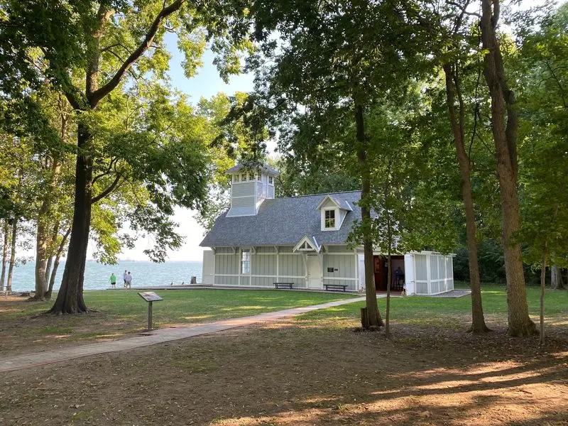
Lighthouses, islands, big cities, and beaches all fit on one 293-mile ribbon of road. Ohio’s northern edge clearly didn’t want to be boring.
The trail runs from Conneaut in the east to Toledo in the west. It traces Lake Erie through counties like Ashtabula, Lake, Cuyahoga, Lorain, Erie, Ottawa, and Lucas.
Geneva, Sandusky, and Port Clinton make easy stops along the shore. You can mix small villages with big city time in Cleveland and Toledo.
History buffs get a treat, too. The route tells stories of early shipping, the Western Reserve, the Underground Railroad, and the War of 1812.
Fort Meigs, the Maritime Museum of Sandusky, and the Fairport Harbor Marine Museum and Lighthouse are all near the trail. Old Woman Creek offers a quieter nature break.
November winds off the lake can bite, so pack a hat. The upside is fewer summer crowds at the beaches and overlooks.
Birders, take note, because the shoreline is a popular spot for spotting wildlife. Binoculars could earn their place in your glove box.
Address: 7701 E Harbor Rd, Marblehead, OH 43440 (Lake Erie Shores and Islands Welcome Center)
5. Ohio River Scenic Byway
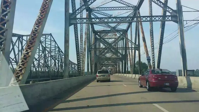
At 452 miles in Ohio alone, this byway could fill your whole holiday weekend. And that’s just one part of a longer route through three states.
It starts near the Indiana line on US 50 and runs to East Liverpool near Pennsylvania. Most of the drive keeps the river in view.
Roads like US 52 and State Route 7 do the heavy lifting. You’ll roll past river towns like Steubenville, Marietta, and Gallipolis.
The byway passes through 14 Ohio counties, most of them in Appalachia. Expect rural hills, old main streets, and plenty of barges sliding by.
History stacks up along the banks. The route shows Native American heritage, western settlement, and the rise of river travel and industry.
Marietta makes a smart midpoint because it sits where the Muskingum meets the Ohio. Its brick streets are great for stretching your legs.
It earned National Scenic Byway status in 1996. Pick one stretch instead of the whole thing, unless you love long car snacks.
Address: 119 Greene St, Marietta, OH 45750 (Marietta-Washington County Convention and Visitors Bureau)
6. Ohio & Erie Canalway Scenic Byway
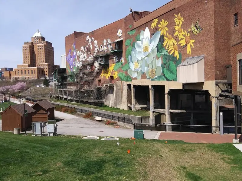
Mules once pulled boats along this route, and now you get to cruise it with a heater. Progress is pretty nice sometimes.
The byway follows the path of the old Ohio and Erie Canal. It stretches from Cleveland down to New Philadelphia.
Akron and Massillon sit along the way, along with farm fields and nature preserves. The mix of city and country keeps the drive interesting.
The route is part of the Ohio and Erie Canalway National Heritage Area. It’s also named one of America’s Byways.
Here’s a great perk for restless legs. The Ohio and Erie Canal Towpath Trail runs nearby, so you can hop out to walk or bike.
Leftover turkey sandwiches taste better beside an old canal lock. At least, that’s a theory worth testing.
The canal helped shape trade and travel across Ohio in the 1800s. Driving this corridor feels like flipping through a history book, only with better views.
Start at the Canalway Center for maps and trail ideas. Then aim south whenever you’re ready.
Address: 7924 Canal Rd, Valley View, OH 44125 (Canalway Center)
7. Historic National Road
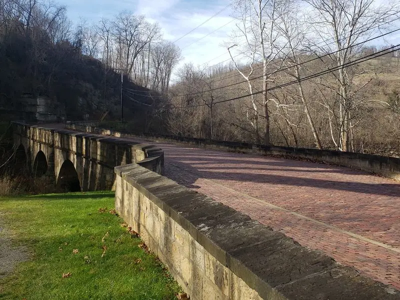
America’s first federally funded highway still runs through Ohio, and you can drive it. Thomas Jefferson’s team would be proud.
The road was authorized in 1806. Work on Ohio’s section broke ground on July 4, 1825, near St. Clairsville.
Today the byway mostly follows US 40 across the state. It runs about 225 miles from the West Virginia line to Indiana.
Cambridge, Zanesville, and Old Washington offer handy stops. Each one shows how the road helped towns grow.
Don’t miss the curvy S-bridges. The Blaine Hill S-Bridge from 1828 is the oldest documented standing bridge in Ohio.
That bridge retired from highway use in 1933. It was later restored and added to the National Register of Historic Places.
The byway earned All-American Road status in 2002. That’s one of the top honors a scenic route can get.
Stop by the National Road Interpretive Center in Zanesville for background. It’s a fun way to learn why travelers once called this the Main Street of America.
Address: 8850 E Pike, Norwich, OH 43767 (National Road and Zane Grey Museum)
8. Appalachian Byway of Ohio
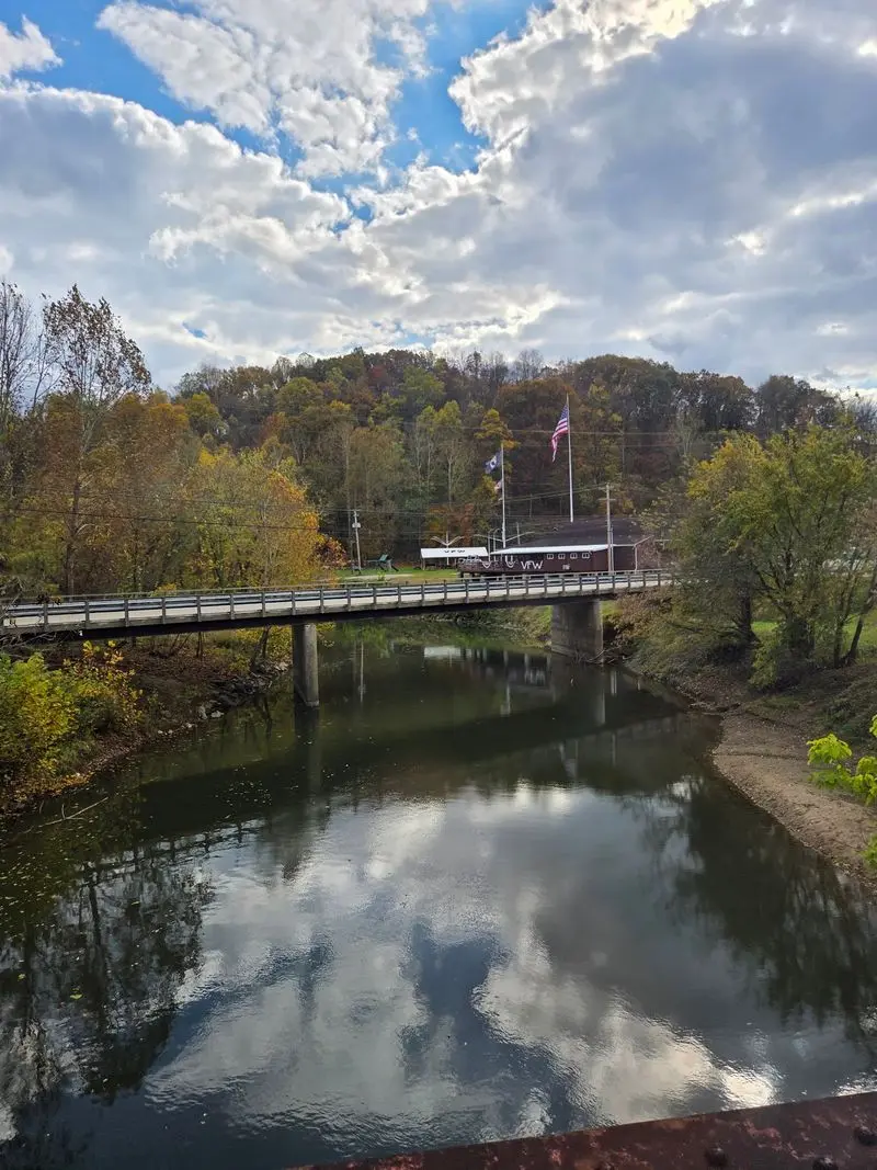
State Route 78 loves a good curve, and drivers love it right back. This 105-mile route was named a scenic byway in 2019.
The road runs from Clarington in Monroe County to Nelsonville in Athens County. It crosses Noble and Morgan counties along the way.
Expect big elevation changes and ridge-top views. Pull-offs give you safe places to stop and take pictures.
Nature fans have options. Burr Oak State Park, Wolf Run State Park, and parts of Wayne National Forest sit along or near the route.
The Wilds, a huge safari and conservation park, is nearby too. Check its seasonal schedule before you go.
Caldwell adds some history with the Caldwell Historic Jail and Museum. In Nelsonville, Stuart’s Opera House dates to 1879.
For something truly odd, see the Big Muskie Bucket near McConnelsville. It came from a giant coal mining machine, and you can stand inside it.
Athens is a great place to end the day. The college town is just down the road from Nelsonville.
Address: 419 West St, Caldwell, OH 43724 (Caldwell Historic Jail and Museum)
9. Granville Scenic Byway
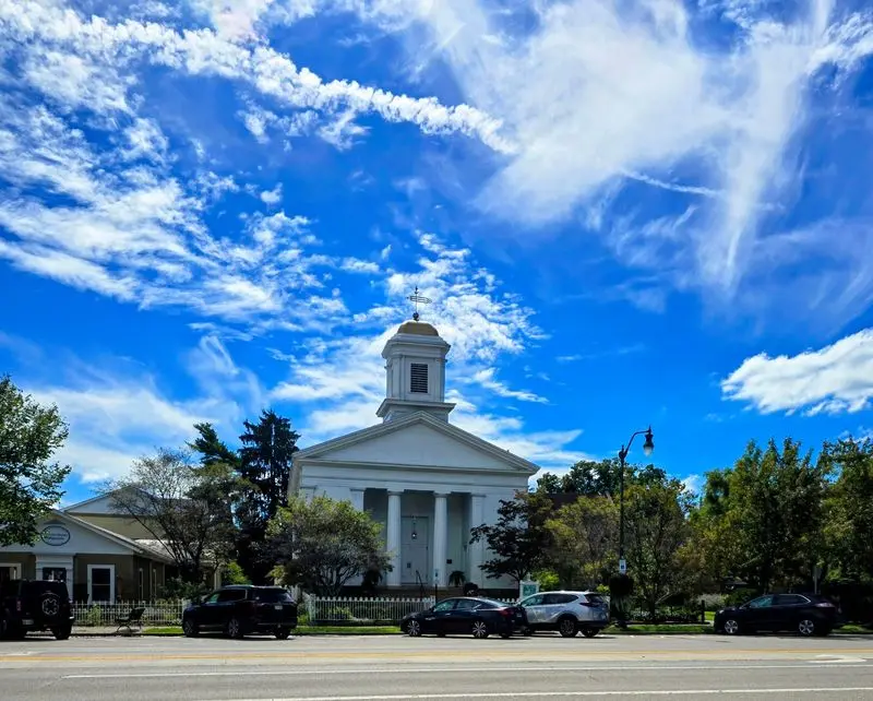
Only about 10 miles long, this byway is the snack-size option on the list. But it packs a lot of history into a short trip.
Settlers from Connecticut and Massachusetts shaped Granville, so it feels a bit like New England. The route follows State Route 661 through the village.
It passes the edge of Denison University, founded in 1831. Rolling farms and old homes fill the rest of the view.
The Buxton Inn opened in 1812, and the Granville Inn followed in 1924. Both are on the National Register of Historic Places.
History fans should check out the Robbins Hunter Museum in the 1842 Avery-Downer House. The Granville Historical Society sits in an old bank building.
Nearby, Alligator Mound offers an ancient earthwork shaped like an animal. It’s a quiet, fascinating stop.
Need to stretch after a big holiday meal? The T.J.
Evans Bike Path runs through the area for walking or biking.
This is the drive for a short afternoon. You’ll still have time for pie when you get home.
Address: 115 E Broadway, Granville, OH 43023 (Granville Historical Society)
10. Lower Valley Pike Scenic Byway
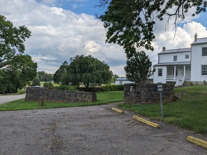
A Revolutionary War battle happened right along this road. That’s a lot of history for an 11-mile drive.
The byway follows the Mad River through Clark County, heading southwest from near Springfield. Limestone cliffs and woods line much of the way.
George Rogers Clark Park is the big stop. It covers about 250 acres with meadows, a lake, and a small waterfall.
The Battle of Piqua was fought there on August 8, 1780. Shawnee leader Tecumseh was born in the area, too.
The Daniel Hertzler House Museum adds more local history. The Estelle Wenrick Wetlands Preserve is great for a quiet walk.
Add a short side trip to Clifton for even more scenery. Clifton Gorge State Nature Preserve protects dramatic rock along the Little Miami River.
The Historic Clifton Mill dates to 1802 and is famous for its holiday lights. The display usually starts around Thanksgiving, so check dates first.
Ohio named this its 18th state scenic byway in 2004. Short drive, big payoff.
Address: 930 S Tecumseh Rd, Springfield, OH 45506 (George Rogers Clark Park)
11. Maumee Valley Scenic Byway
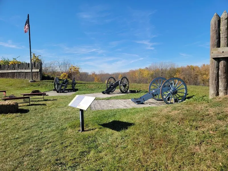
Why pick one side of the river when you can drive both? This byway follows the Maumee River on its north and south banks.
The route covers nearly 90 miles of northwest Ohio. It links Defiance, Napoleon, Waterville, and Rossford.
The Maumee itself is a state scenic river. Its wide water makes a calm backdrop for a holiday drive.
Fort Meigs in Perrysburg is a major stop. It dates to 1813 and played a role in the War of 1812.
Fort Miamis Park and the Fallen Timbers Monument add more early history. In Napoleon, the Henry County Courthouse stands out downtown.
Need to stretch your legs? Side Cut Metropark, Farnsworth Metropark, and Mary Jane Thurston State Park offer trails and river views.
Independence Dam State Park keeps sections of an old canal lock. It’s a neat reminder of how people once moved goods here.
Fort Meigs has seasonal hours, so check before you go. The river views are open whenever you are.
Address: 29100 W River Rd, Perrysburg, OH 43551 (Fort Meigs Historic Site)
12. Old Mill Stream Scenic Byway
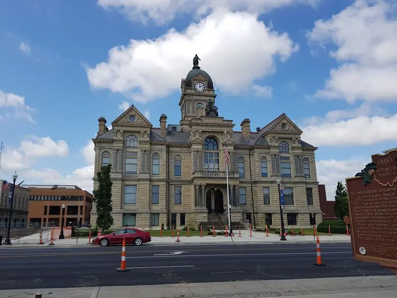
A famous song started on the banks of this river. Tell Taylor, a Hancock County native, wrote Down by the Old Mill Stream about the Blanchard River.
This byway follows that same river for about 52 miles. It runs through Hancock and Putnam counties in northwest Ohio.
Findlay makes a handy starting point. From there, the route rolls toward small villages like Mount Blanchard, Glandorf, Ottawa, and Gilboa.
Expect farms, parks, and quiet country views. It’s a relaxed drive, perfect after a busy holiday.
The byway was named in 2006. It connects to the Lincoln Highway, another famous road with lots of history.
The area’s story goes back to Jean Jacques Blanchard, the earliest known settler of Hancock County. The river still carries his name.
Humming the song while you drive is optional. Still, it would be a fun way to set the mood.
Stop by the Hancock County visitors bureau in Findlay for maps. Then follow the water and enjoy the slower pace of rural Ohio.
Address: 123 E Main Cross St, Findlay, OH 45840 (Hancock County Convention and Visitors Bureau)