Somewhere in the Kentucky woods, an old coal camp still has its store, school, and homes. The catch?
They’re built from open metal frames, so you can look straight through the walls.
I love that idea so much. The real town emptied out decades ago, and those see-through outlines now mark where people once worked, shopped, and raised families.
Elsewhere in the state, stone foundations sit under leaves, and old rail lines run through quiet forest and dark tunnels.
The best part is that you can reach these spots on your own two feet. A few take only minutes to walk.
Others can fill a whole day if your legs are up for it.
Each stop has its own story about work, travel, and moving on. Trees and moss have been busy rewriting those stories ever since.
So which forgotten place would you explore first?
Blue Heron Trail
Ghosts usually don’t come with welded steel frames, but this camp breaks the rules. Blue Heron, also called Mine 18, was a coal-mining community that ran from 1937 to 1962.
When the mine shut down, the town went quiet. Today, open metal ghost structures stand where the company store, depot, school, and homes once stood.
You can walk right up to these outlines and peek inside. It’s like a 3D sketch of a town, drawn in the middle of the woods.
The camp sits inside the Big South Fork National River and Recreation Area. Its remote setting in the gorge helps explain why it felt so isolated in its working days.
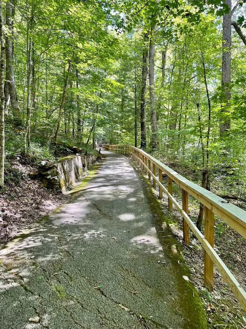
The Blue Heron Trail runs about 1.5 miles, so it suits a relaxed afternoon. Bring sturdy shoes, since gorge country in Kentucky loves a good hill.
Take time to read the interpretive exhibits along the way. They help you picture daily life here before the forest started reclaiming the place.
Address: Blue Heron Road, Stearns, KY 42647
Center Furnace Trail
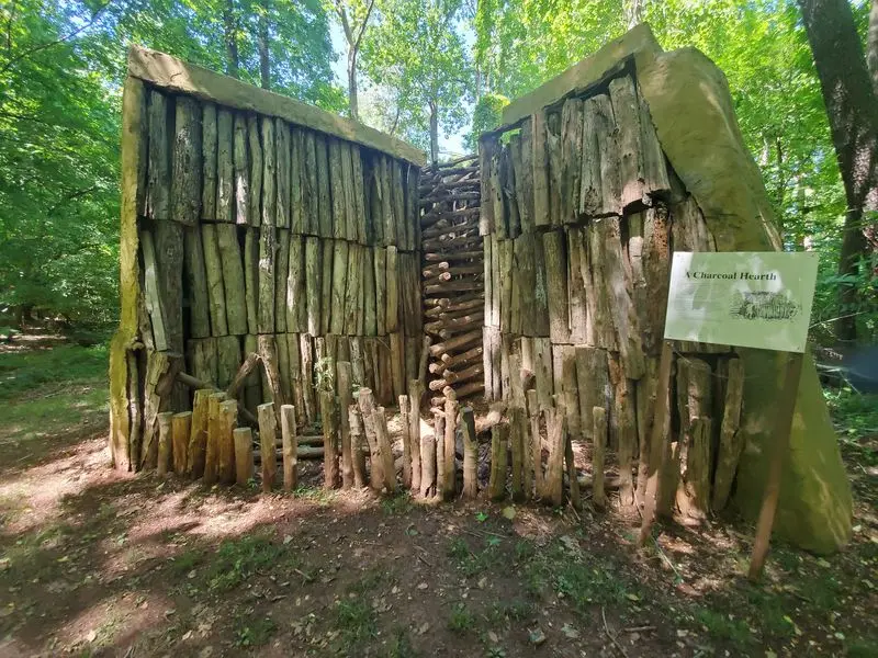
Short trails rarely pack this much history into a few minutes. At just 0.3 miles, this path is basically a coffee break with a giant stone relic in the middle.
The star is the Center Iron Furnace, a leftover from the region’s iron industry. Back then, furnaces like this one supported a busy community of workers and families.
Now the scene looks very different. Forest growth has slowly covered the old industrial land, and trees stand where smoke and noise once filled the air.
You’ll start near the Nature Station at Land Between the Lakes. That makes the trail an easy add-on if you’re already exploring this part of western Kentucky.
Families with little hikers will appreciate the short distance. Even tired legs can handle a walk this brief without much grumbling.
Read the interpretive signs as you go, since they explain how iron making shaped the area. Then look around and notice how completely the woods have won this round.
Address: 3146 Silver Trail Road, Cadiz, KY 42211
Halley Home Site Trail
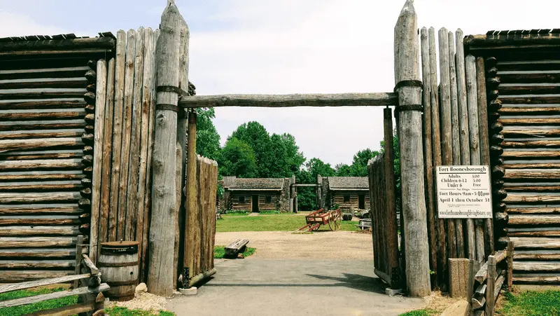
A tenth of a mile is all it takes to reach this slice of the 1790s. Yes, you could finish the walk faster than a microwave burrito heats up.
Don’t let the size fool your schedule, though. The Halley family once had a large house here, built in the late 1790s.
What’s left today is the stone foundation. It sits quietly among the plants and trees, so you’ll need sharp eyes to spot the outline.
That hide-and-seek feeling is part of the fun. Kids especially enjoy hunting for the stones before anyone else does.
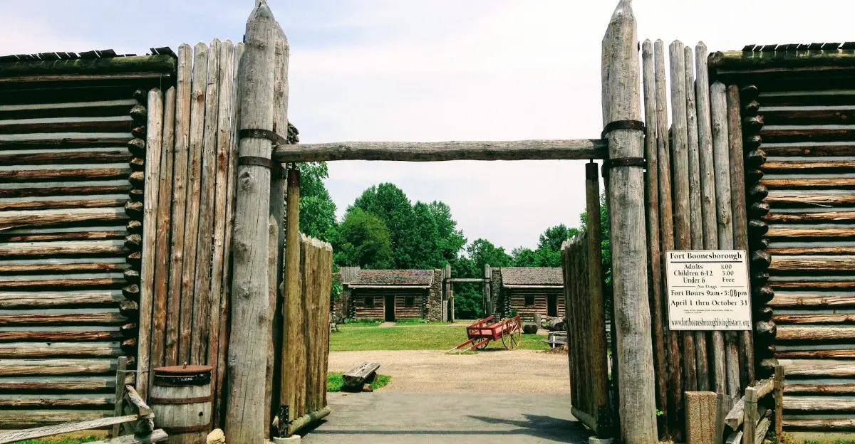
The trail sits inside Fort Boonesborough State Park, near the Kentucky River. The park is tied to the settlement founded by Daniel Boone’s group in 1775.
Pair this tiny trail with a visit to the reconstructed fort for a fuller history lesson. You’ll see how early settlers built homes, then see what happened when one was left behind.
Address: 4375 Boonesboro Road, Richmond, KY 40475
Pioneer Forage Trail
Stone walls don’t move, which makes them excellent storytellers. On this trail, one old wall still marks a farm that people walked away from long ago.
The route follows remnants of an abandoned Halley farm. Yes, the same family linked to the home site just down the way.
Along with the stone wall, you’ll find traces of a historic wagon road. Picture wooden wheels bumping along where you’re now strolling in comfy sneakers.
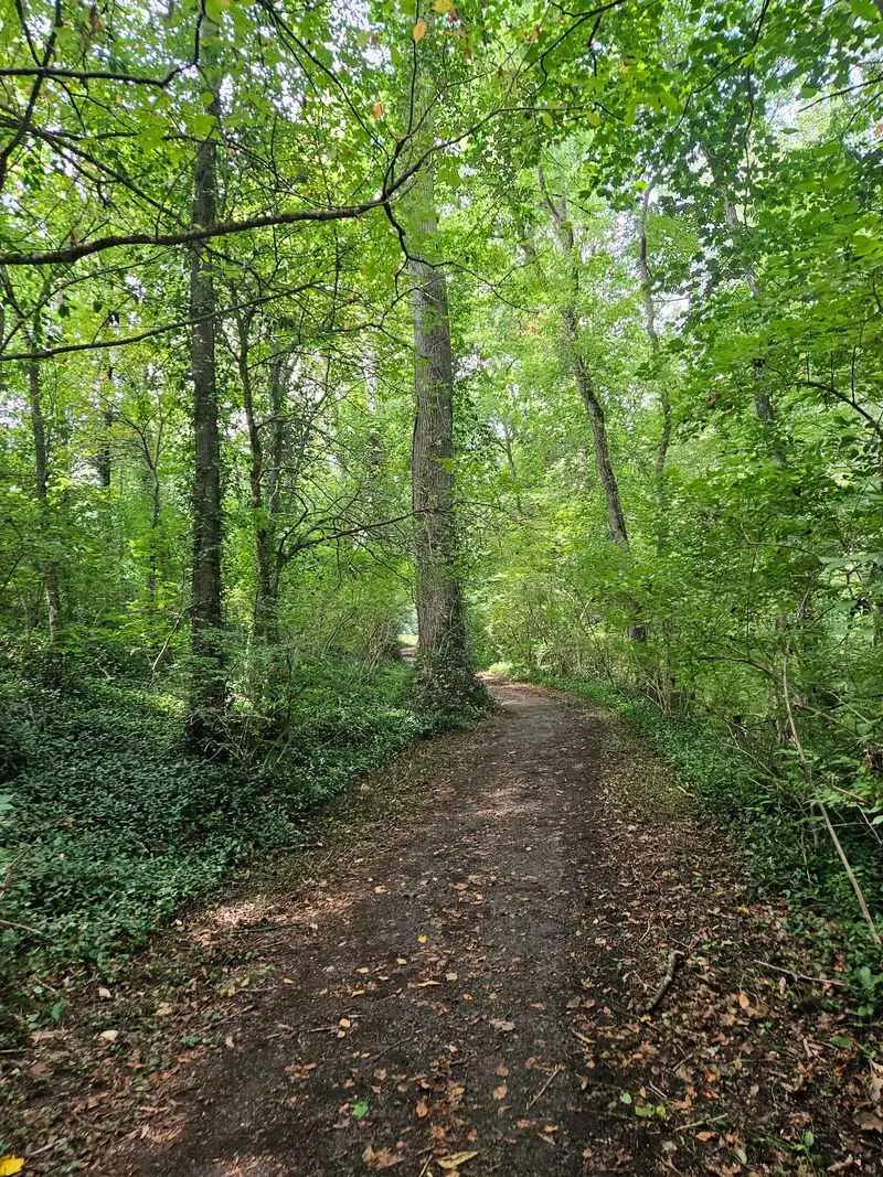
The woodland setting adds a peaceful mood. Leaves, roots, and moss have crept over the farm, slowly blending it back into the forest.
History fans will enjoy connecting the dots between this trail and the Halley Home Site. Walking both gives you a better sense of how one family shaped this land.
It’s also a fine pick if you’re curious about Kentucky’s early settlements. You get history and fresh air without needing a guidebook the size of a brick.
Address: 4375 Boonesboro Road, Richmond, KY 40475
Clear Creek Hollow
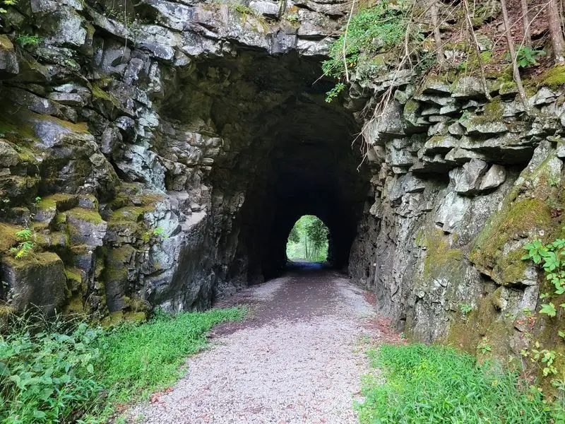
Trains used to haul coal through this hollow, and now your boots get the job. The path follows an abandoned railroad grade that once carried a Louisville and Nashville Railroad spur.
That spur served coal-mining operations in the area. The rails were pulled up in the 1980s, and the corridor was turned into a place for recreation.
Old railroad trestles are the highlight here. They’re sturdy reminders of the busy days when this quiet hollow rumbled with freight.
Railroad grades are famous for gentle slopes. Trains hate steep hills, so you get an easier walk through mountain country than you might expect.
The trail sits within Pine Mountain State Resort Park, which became Kentucky’s first state park in 1924. So you’re stacking history on top of history.
Bring a camera for the trestles and the woodland scenery around them. Nature has had decades to soften the edges, and it shows.
Address: 1050 State Park Road, Pineville, KY 40977
Dawkins Line Rail Trail
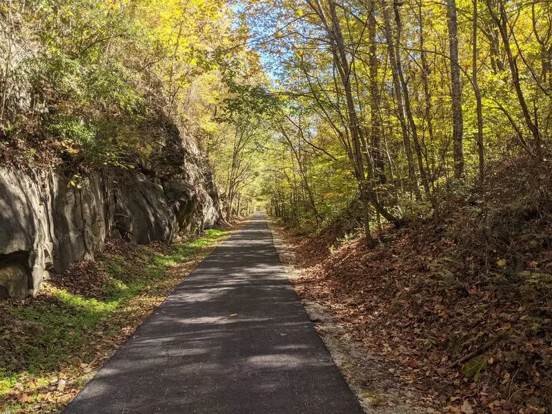
Thirty-six miles of old railroad is a lot of trail to call your backyard. Kentucky folks in Johnson, Magoffin, and Breathitt counties get to do just that.
This corridor once served the region’s coal industry. Today it’s open to hikers, cyclists, and horseback riders, so expect some friendly trail sharing.
The headliner is the Gun Creek Tunnel, which stretches 662 feet. Walking through it feels like the trail took a deep breath and went underground.
Bring a flashlight or headlamp for the tunnel. Your eyes will thank you, and so will anyone you might otherwise bump into.
Numerous trestles also cross the route, with forested Appalachian scenery all around. It’s a great way to see how nature has softened a once-busy industrial line.
The trail is open from sunrise to sunset. Since it’s so long, pick a section that matches your energy instead of trying to conquer it all at once.
Address: Highway 825, Swamp Branch, KY 41240
Mammoth Cave Railroad Bike and Hike Trail
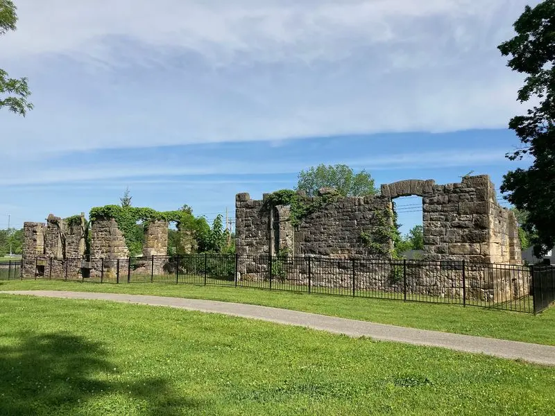
Cave tourists were making road trips here long before minivans and snack stops existed. This trail follows a former railroad route tied to the Mammoth Cave Railroad.
The path runs about 9 miles, and both hikers and bikers can use it. That makes it a handy choice if your group can’t agree on wheels or feet.
Near the southern end in Park City, you’ll find the remains of Bell’s Tavern. This early 19th-century stagecoach stop was linked to travel to Mammoth Cave.
Travelers once rested here on their way to see the famous cave system. Now the stone ruins stand as a quiet marker of those long-ago journeys.
The ruins are fenced off, so enjoy them from the allowed viewing area. It’s still easy to get a good look and snap a few photos.
Start or end your outing at Bell’s Tavern Park. You’ll get a dose of history, some exercise, and a fine reason to brag later.
Address: Bell’s Tavern Park, 130 Old Dixie Highway, Park City, KY 42160