Grab your bike, because Raleigh’s riverfront is calling!
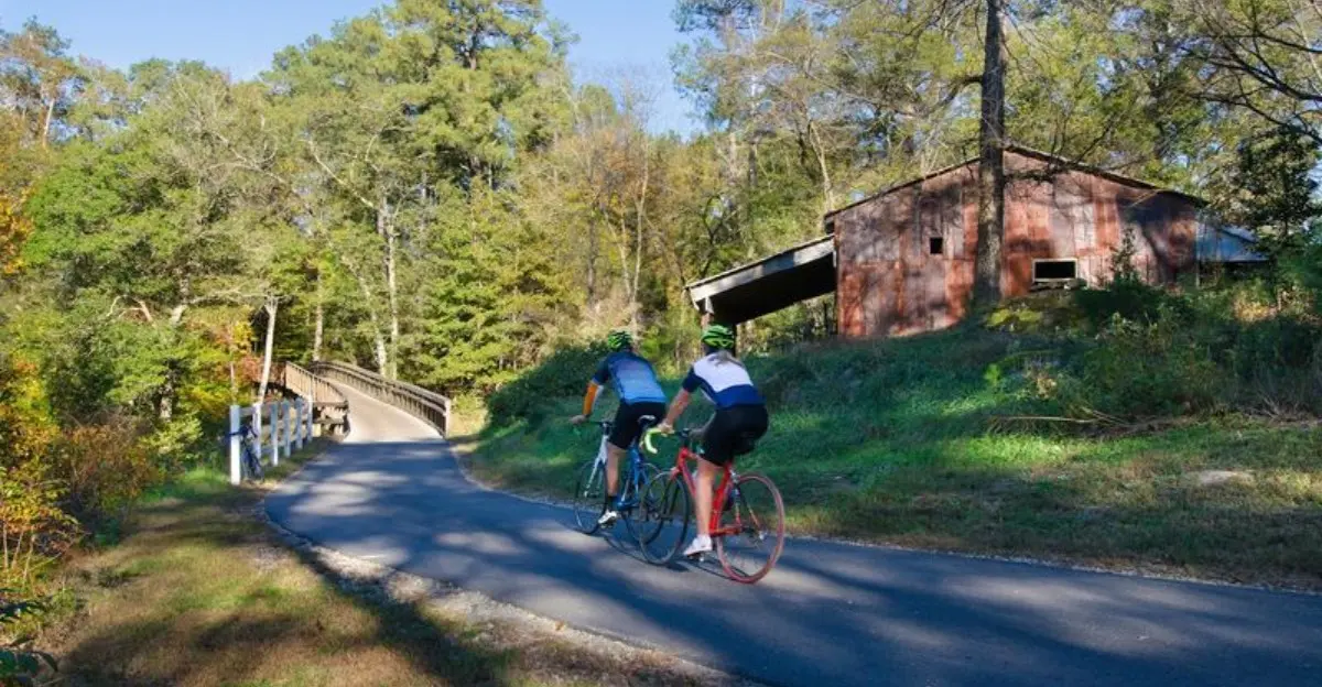
The Neuse River Greenway Trail delivers 33 miles of paved riding, winding alongside the Neuse River and slipping through shady forests, peaceful wetlands, open parks, and wild corners that feel surprisingly far from the city.
Bridges add a little thrill to the ride, while wooden boardwalks lead cyclists through beautiful wetland areas where birds and other wildlife often steal the show.
Every turn brings another reason to slow down and look around.
You don’t need to conquer all 33 miles to enjoy it.
A short afternoon ride can be just as rewarding, with plenty of spots to stop, breathe, and enjoy the river.
For families, cyclists, and anyone craving fresh air, this Raleigh greenway is one unforgettable ride.
A Long Riverside Ride Through Raleigh’s Greenway Country
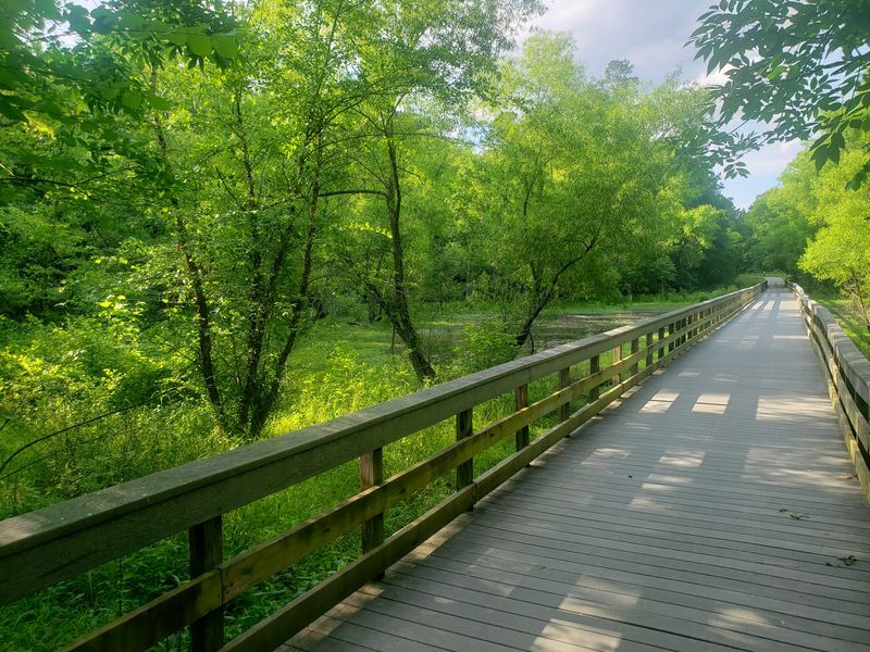
Picture yourself pedaling along a smooth, paved path where the Neuse River becomes your constant companion. This greenway trail ranks among the best cycling routes in the entire region, winding through diverse landscapes that change with every mile.
Forests give way to open wetlands, then transition into parkland and back again, keeping the ride interesting from start to finish.
Serious cyclists appreciate the long, uninterrupted stretches where they can build speed and rack up miles. Families and casual riders love the mostly flat terrain and easy access to rest areas along the way.
The paved surface stays smooth year-round, making it ideal for road bikes, hybrids, and even strollers.
What makes this trail stand out is how it brings together wilderness and recreation without requiring a long drive from the city. You can start your morning with coffee in downtown Raleigh and be riding through quiet forests within minutes.
The river views alone make every pedal stroke worthwhile, especially during spring and fall when the scenery transforms with blooming wildflowers or brilliant autumn colors.
Follow the Neuse River From Falls Lake Toward Clayton
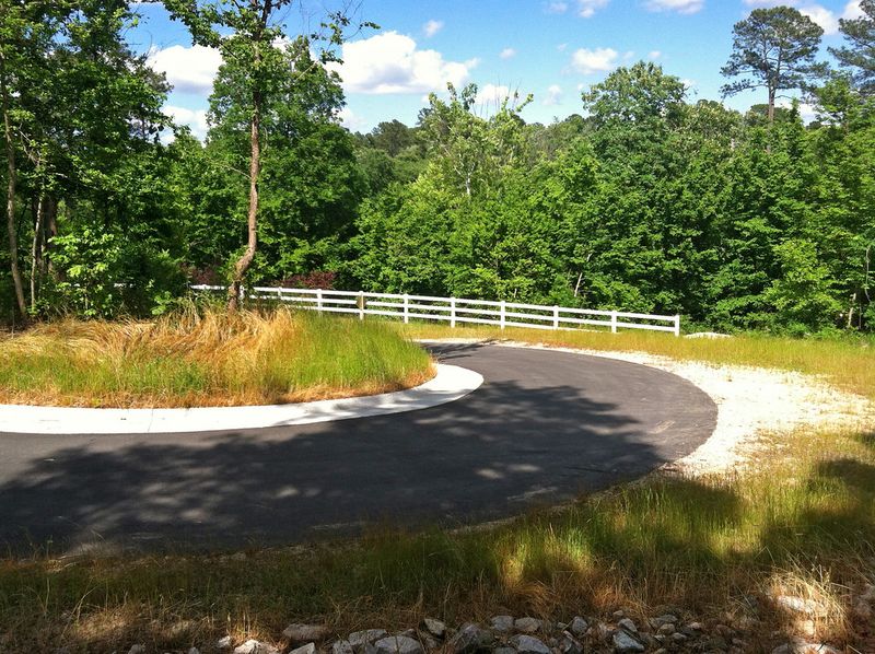
Starting near the Falls Lake Dam, this remarkable trail stretches roughly 33 to 35 miles southward, eventually reaching the Wake and Johnston County line near Clayton. That’s enough distance to challenge experienced riders while offering shorter segments for those who prefer a more relaxed outing.
The full journey takes you through multiple communities and ecosystems, creating a sense of real adventure.
Many cyclists tackle sections of the trail over multiple visits rather than attempting the entire route in one day. Each segment offers its own character and highlights, from the quieter northern stretches near the dam to the busier southern sections closer to suburban neighborhoods.
The changing landscapes keep things fresh, preventing that monotonous feeling that sometimes comes with long, straight trails.
Planning a through-ride from north to south makes for an exceptional day on the bike. You’ll need to arrange transportation at one end or plan an out-and-back trip that doubles your mileage.
Either way, experiencing this extended ribbon of greenway shows you a side of the Raleigh area most residents never fully explore.
Cruise Through Wetlands on Scenic Boardwalks
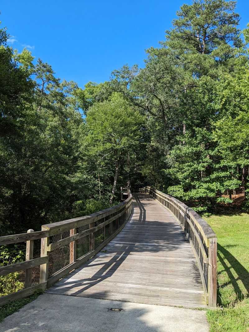
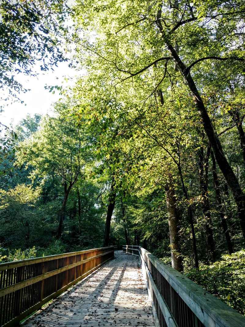
Pedaling across wooden boardwalks adds an unexpected element to this riverside ride. These elevated sections lift you above wetland habitats where the Neuse River spreads into marshy corridors teeming with life.
Your tires hum a different tune on the boards compared to the pavement, creating a rhythmic soundtrack that announces you’ve entered a special zone.
Bird watchers particularly love these boardwalk segments since they offer unobstructed views of herons, egrets, and dozens of waterfowl species. Early morning riders often spot turtles sunning themselves on logs and deer drinking at the water’s edge.
The wetlands filter the river naturally, creating clearer water and healthier ecosystems that support everything from fish to frogs.
These quieter sections feel worlds away from the city, even though you might be just minutes from busy roads. The boardwalks protect the delicate wetland environment while giving cyclists and walkers access to views they’d never see otherwise.
Bring binoculars if you’re interested in wildlife, and consider riding slowly through these areas to maximize your chances of spotting something memorable along the water.
Stop at Anderson Point Park for a Riverside Break
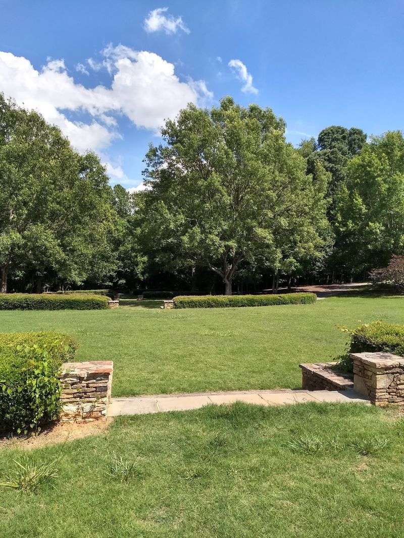
Anderson Point Park serves as one of the trail’s most popular stopping points, offering everything you need to rest, refuel, and recharge before continuing your ride. This green space provides direct river access, convenient parking for those starting their journey here, and connections to other greenway routes that expand your riding options.
Picnic tables and shaded areas make it perfect for a snack break or lunch stop.
The park isn’t just for cyclists. Paddlers frequently launch kayaks and canoes from the boat ramp, adding colorful activity to the riverside scene.
Watching boats glide past while you rest your legs creates a peaceful interlude in your ride. Restroom facilities and water fountains are available during warmer months, making it a practical waypoint for longer outings.
Using Anderson Point as a hub lets you explore multiple trail directions in a single visit. You might ride north toward Falls Lake in the morning, return for lunch at the park, then head south toward Clayton in the afternoon.
This flexibility makes the location especially valuable for riders who want to experience different sections without moving their vehicle.
Ride Across the Trail’s Bridges and River Crossings
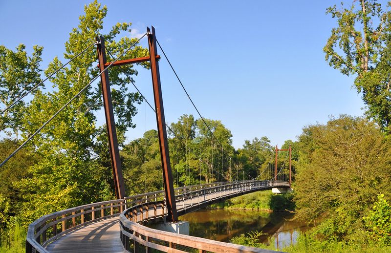
Bridges transform an ordinary bike ride into something memorable. The Neuse River Greenway features several distinctive crossings, including suspension bridges that gently sway as you pedal across, adding a touch of adventure to your journey.
These structures provide dramatic river views and photo opportunities you won’t find on standard paved paths.
Each bridge offers a different perspective on the river corridor. Some sit high above the water, giving you a bird’s-eye view of the winding channel and surrounding forest.
Others bring you closer to the surface where you can watch the current flow beneath your wheels. The engineering behind these crossings is impressive, blending function with aesthetics to create landmarks along the route.
Crossing these bridges breaks up the rhythm of your ride in the best possible way. You pause your pedaling to take in the views, snap a picture, or simply enjoy the sensation of gliding above the water.
Kids especially love the suspension bridges, which feel slightly bouncy and different from anything they experience on regular sidewalks. These crossings remind you that you’re on more than just a simple paved trail.
Connect With Other Raleigh Greenways Along the Way
One trail leads to another, and another, and suddenly you’ve got access to over 100 miles of connected greenways throughout the Raleigh area. The Neuse River Greenway intersects with routes like Abbotts Creek Trail, Walnut Creek Trail, and Crabtree Creek Trail, all part of the larger Capital Area Greenway system.
These connections turn a single path into an entire network of riding possibilities.
Experienced local cyclists use these intersections to create custom routes that hit their favorite parks and neighborhoods. You might start on the Neuse, cut over to Walnut Creek for a change of scenery, then loop back through different neighborhoods.
Maps posted at major junctions show you where each trail leads and help you plan spontaneous detours.
Exploring the connected trails reveals different sides of Raleigh’s landscape and communities. Each greenway has its own personality, from the urban feel of some downtown connectors to the wild character of routes following smaller creeks.
Together, they form a web that lets you ride for hours without retracing your path or dealing with heavy traffic.
Make It More Than a Bike Ride With River Recreation
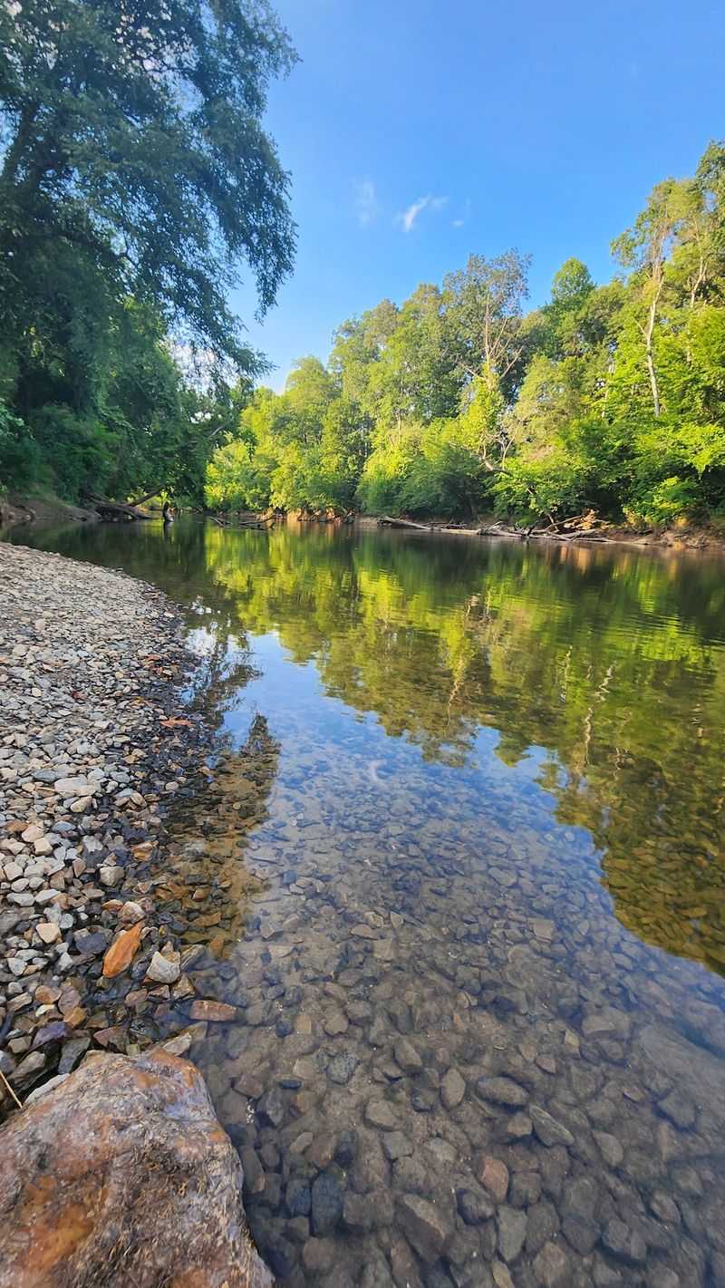
Why limit yourself to just biking when the Neuse River offers so many other ways to play? Multiple access points along the trail let you combine cycling with fishing, canoeing, or kayaking, turning a simple ride into a full day of outdoor adventure.
Pack a fishing rod alongside your bike gear and you’ve got twice the entertainment options.
Anglers regularly pull bass, catfish, and other species from the Neuse, especially near quieter sections away from heavy boat traffic. The greenway makes it easy to scout fishing spots by bike, then return later with your tackle.
Paddlers enjoy the calm water in many sections, with sandbars and islands creating interesting places to explore by canoe or kayak.
Several official river access points feature boat ramps and parking designed for watercraft. You might ride your bike to one of these launches, then switch to a kayak for a different perspective on the river corridor.
This multi-sport approach shows you the landscape from both land and water, revealing details you’d miss by sticking to just one activity throughout your visit.
Choose a Trailhead That Fits Your Ride
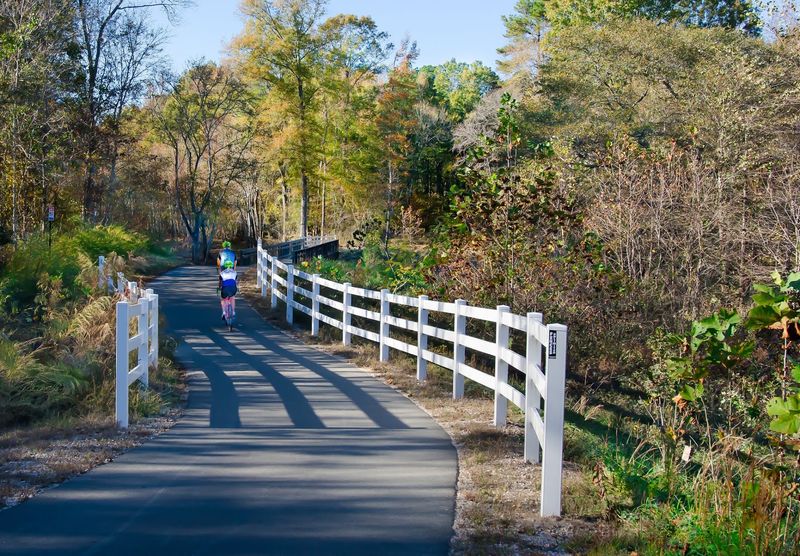
Nobody says you have to ride all 33 miles in one go. Strategic trailheads scattered along the route let you customize your outing based on time, energy, and interest.
Horseshoe Farm Nature Preserve, Buffaloe Road, River Bend Park, Anderson Point, and Poole Road all offer convenient parking and trail access, making it simple to plan shorter out-and-back trips.
Starting from different trailheads shows you varied sections of the greenway without committing to marathon rides. A family with young children might choose a trailhead near open parkland with playgrounds and picnic areas.
Serious cyclists looking for mileage often start at the northern end near Falls Lake to tackle longer stretches without interruption.
Each access point has its own advantages. Some offer better parking and facilities, while others put you immediately into quieter natural areas.
Trying different starting locations over multiple visits helps you discover your favorite sections and build familiarity with the entire trail system. Download a trail map or check online resources to find parking areas and plan your route before you go.
Enjoy a Trail That’s More Than Just Pavement
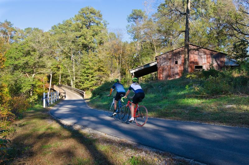
What keeps a 33-mile trail from feeling repetitive? Constantly changing scenery that shifts every few miles.
Dense forests give way to open river views, which transition into agricultural fields before returning to wooded stretches. Wetlands, boardwalks, parks, and occasional historic or interpretive features add variety that holds your attention throughout the ride.
This diversity makes the Neuse River Greenway feel more like an expedition than a simple bike path. You might start in shade, emerge into sunny meadows, cross a bridge over rushing water, then roll through a quiet park where families are playing.
Each segment offers different sights and experiences, preventing the tunnel-vision monotony that sometimes affects long paved trails.
The trail designers clearly understood that variety matters for user experience. They preserved natural features rather than bulldozing everything flat, incorporated existing parks and landmarks, and added interpretive elements that teach you about local history and ecology.
The result is a trail that rewards exploration and reveals new details on every ride, no matter how many times you’ve pedaled its length before.