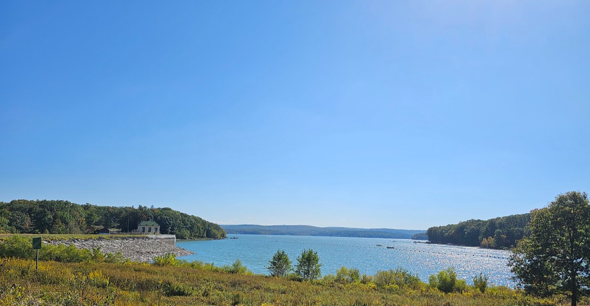
A boat crossing Lake Wallenpaupack passes over a place where people once lived, worked, and traveled on dry land.
In the 1920s, workers built a dam to make electricity, and rising water covered part of the valley, including the former village of Wilsonville.
The lake became a favorite spot for fishing and boating, but its calm surface can make it easy to forget the families who left and the roads that changed.
Look a little closer, and the story is still there in old maps, local memories, and the shape of the shore, giving visitors a reason to see more than a pretty view.
Before the Water, There Was Wilsonville
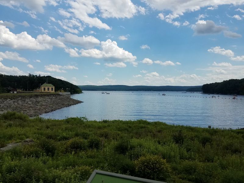
Picture a road leading to neighbors’ homes where open water now stretches toward the hills. Before Lake Wallenpaupack existed, Wilsonville was a small community in the valley selected for the reservoir. Its story helps explain why making a lake changed more than the view.
People had ties to land that had been familiar for years. A house was not just a building; it held meals, chores, celebrations, and ordinary mornings. When the reservoir project moved forward, residents had to face a future somewhere else.
Wilsonville is often called a village beneath the lake, but that phrase needs care. Not every trace of a former community has to sit directly under deep water. Flooding also changed nearby roads, properties, and the way people reached one another.
For visitors, the best first step is to imagine a lived-in landscape rather than a hidden ghost town. Look at the shoreline and picture fields and routes crossing the valley. That simple shift makes the lake’s history feel more human.
Old photographs and maps can add detail that the water cannot show. Compare them with a modern map to see how dramatically the area changed. Remember that each marked building once mattered to someone.
The quiet view is real, and so is the loss behind it. Holding both ideas together makes a visit more thoughtful. Wilsonville’s name keeps part of its past within reach.
A Dam Changed the Valley
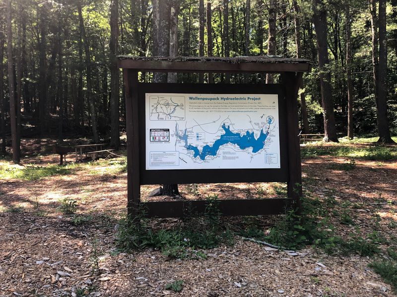
One large wall of earth and stone can change a whole valley. Lake Wallenpaupack was created when a dam held back water for a hydroelectric power project. The project took shape during the 1920s, when demand for electricity was growing.
As the reservoir filled, water spread across low ground that had once been dry. Buildings, roads, and familiar paths could no longer serve the same purpose. For families leaving the area, the change was personal, not simply a construction job.
The lake still helps tell the story of how electricity was made. Water stored behind a dam can be released to turn equipment that produces power. That process sounds simple, yet building a reservoir requires major changes upstream.
Watch the shoreline from a safe public viewpoint and notice how far the water reaches. The broad surface is not a natural lake formed long ago. It is a human-made landscape with an older valley beneath it.
There is no need to approach restricted structures to appreciate that history. Posted signs and barriers protect visitors around working facilities. A view from an approved area offers plenty to think about.
The dam gave the region something new while taking away parts of what had been there. That trade-off shaped Lake Wallenpaupack’s past and present. Understanding it adds depth to every look across the water.
Old Maps Reveal Missing Roads
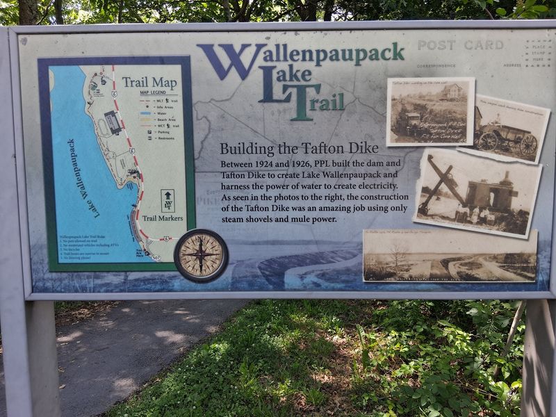
An old map can feel like a message from a vanished neighborhood. Roads that once crossed the valley may end at today’s shoreline or follow different routes. Comparing maps offers a way to see change without making guesses about underwater objects.
Start with a map dated before the reservoir was filled. Then place a current map beside it and find features that appear on both. Road names, hills, and stream crossings can help you get your bearings.
Be patient, because old maps do not always match modern ones perfectly. Their scales may differ, and a road might have changed names. An apparent match is a clue to investigate, not proof of an exact spot.
Historical photos can make the comparison even more interesting. A picture of a bridge, field, or house adds a human detail to a line on paper. Local history collections may also explain what happened to a route.
Keep your research off private property and away from unsafe shorelines. You can learn plenty at a library desk or on a computer. There is no reason to disturb a site to respect its story.
Maps make the lake’s missing landscape easier to picture. They show that the old valley was connected by everyday journeys. Each changed road hints at a life that had to take a new direction.
The Shoreline Holds Clues
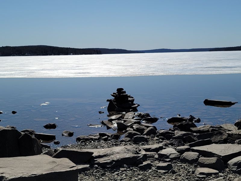
Along a cove, the waterline can make you wonder what the shore looked like a century ago. Lake Wallenpaupack has many inlets and wooded edges, but its shoreline belongs to a reservoir. The water level can change, so familiar views may look different over time.
A low-water day does not guarantee a clear view of village remains. Mud, rocks, and fallen branches can look mysterious from a distance. Treat claims about visible foundations or streets with caution unless a reliable source confirms them.
Instead, notice the shape of the land around the water. Slopes descend toward an older valley floor, while coves reach into smaller low areas. Those features help explain how rising water spread across the landscape.
Stay on permitted paths when exploring the edge. Exposed banks can be slippery, and access rules vary around the lake. A safer viewpoint often gives a better chance to take in the whole scene.
Bring a map if you want to connect the view with local history. Mark a cove or bend you can identify later in an older image. This turns a casual walk into a small research project.
The most meaningful traces are not always objects you can touch. Sometimes the shoreline itself shows how much the valley changed. Careful looking tells a richer story than a search for treasure.
Families Carried the Story Forward
A village can disappear from a map without disappearing from family memory. People connected to the former valley carried stories, photographs, and names into later generations. Those records can tell us more about daily life than a dramatic tale of buildings underwater.
Think about what a move means to a family. Even when people find new homes, they leave behind familiar views and routines. Children may remember a school route, while adults recall neighbors and the work that filled their days.
It is tempting to describe every former resident as sharing one experience. Real lives were more varied than that. Careful history makes room for different feelings about the project and what followed.
If you hear a story about Wilsonville, ask where it came from. A dated photograph, newspaper account, or family record can help support a memory. The goal is not to challenge a storyteller, but to understand the details better.
Share what you learn with respect for the people involved. Avoid treating the former village as a spooky attraction. It was a place where ordinary lives unfolded before the water arrived.
Names and memories are traces, even when they leave no mark on a shore. They connect today’s visitors with the people who knew the valley first. Listening carefully keeps that connection alive.
A Boat Ride Crosses Two Landscapes
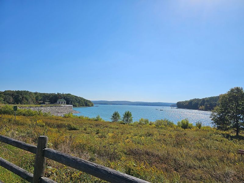
From a boat, Lake Wallenpaupack looks built for summer afternoons. Its coves invite exploring, and the open water offers room to enjoy the scenery. Yet every trip also passes through a landscape that looked very different before the dam.
The lake is in Pennsylvania, where boating and fishing bring many visitors to its shores. Rentals and launch options vary by season and operator. Check current rules, fees, and conditions before planning a day on the water.
Keep your attention on safety while you look around. Wear a properly fitted life jacket, watch for other boats, and follow posted guidance. A historical story is more enjoyable when everyone gets home safely.
Try choosing one cove to study rather than racing across the whole lake. Notice how the land slopes down to the water. Imagine how travel through that area might have worked before it became a shoreline.
Do not assume a feature below the surface is a road or building. Underwater hazards are difficult to identify from a boat. Reliable historical maps are better tools for exploring the past than guesses made on the water.
A boat ride joins recreation with reflection. The same surface that draws people here today covers part of an earlier world. Knowing that makes the crossing feel a little different.
History Deserves Better Than a Ghost Story
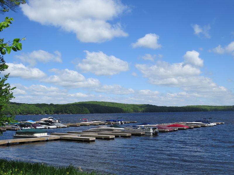
Sunken village makes a thrilling headline, but the real story deserves more care. Wilsonville was a community affected by the creation of Lake Wallenpaupack, not a movie set left waiting for explorers. Flooding changed lives as well as land.
Some accounts make it sound as though a complete village still stands underwater. That picture can be misleading. Work done before a reservoir fills, along with later changes, makes such claims hard to support without strong evidence.
When you read about the lake, look for dates and named sources. A historical society, archive, or contemporary newspaper can offer context that a viral post may leave out. Check whether an image actually shows this lake before sharing it.
Good questions lead to better discoveries. Who lived in the valley, and what records remain of their homes? How did the power project change routes and shorelines?
Keep those questions in mind during a visit. A quiet view can become the starting point for research rather than an excuse to invent ruins. You might learn something surprising without stretching the truth.
Respect makes the history more interesting, not less. The important trace is the record of a real community and its change. That story can hold your attention without a single ghost.
Enjoy the Lake and Remember What Came Before
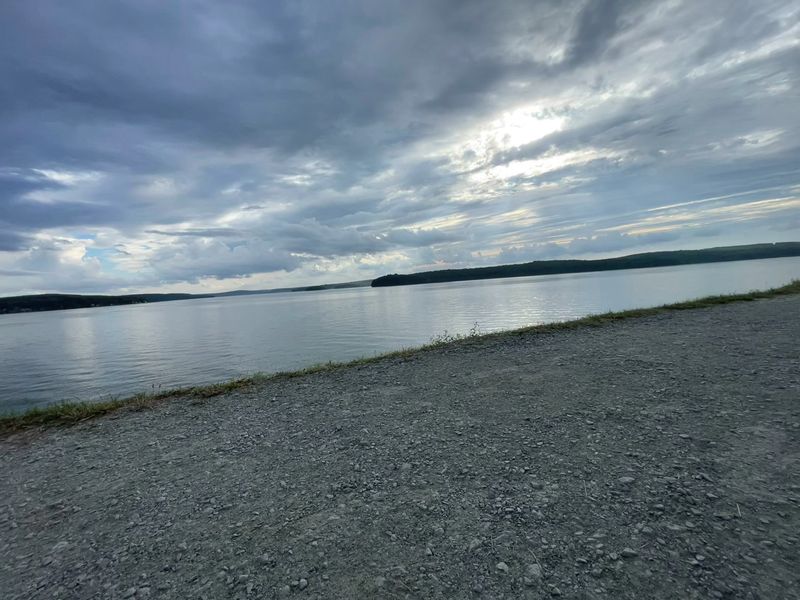
At sunset, it is easy to see why people love Lake Wallenpaupack. Light stretches across the water, boats head toward shore, and the hills grow quiet. The scene is beautiful, even when you know it came from a major change to the valley.
Enjoying the lake does not mean ignoring its history. A fishing trip, paddle, or walk can leave room for a conversation about Wilsonville. Both stories belong here: the place people visit now and the community that came before.
Plan your outing around the access you can actually use. Some shore areas are private, while public options have their own rules and hours. Check official visitor information before you leave, especially if you hope to swim or launch a boat.
For a quieter visit, consider a weekday when conditions allow. Bring water, watch the weather, and leave the shoreline as you found it. Small choices help protect a place that means different things to different people.
Take one more look before heading home. What appears to be only open water also holds a story about power, movement, and memory. Old maps can help you continue that story later.
Lake Wallenpaupack is more than a view from the shore. Its past gives the scenery another layer. Remembering that past can make a good day there more meaningful.