A whole Wisconsin river valley was swallowed by a lake.
More than a century ago, construction of the Prairie du Sac Dam changed the Wisconsin River forever.
Water backed up behind the dam, spreading across farmland, roads, and low-lying river bottoms near Merrimac.
The story is often told as one of an entire town being moved out of the way.
The truth is more complicated—and much more fascinating.
Merrimac remained, while the rising water reshaped the community and the way people traveled through the area.
Today, Lake Wisconsin stretches across the valley where farms and river bottoms once stood.
The old ferry crossing still connects Merrimac with the opposite shore, while the lake draws boaters, anglers, and visitors curious about the remarkable history beneath its waters.
The Dam That Changed the Wisconsin River Forever
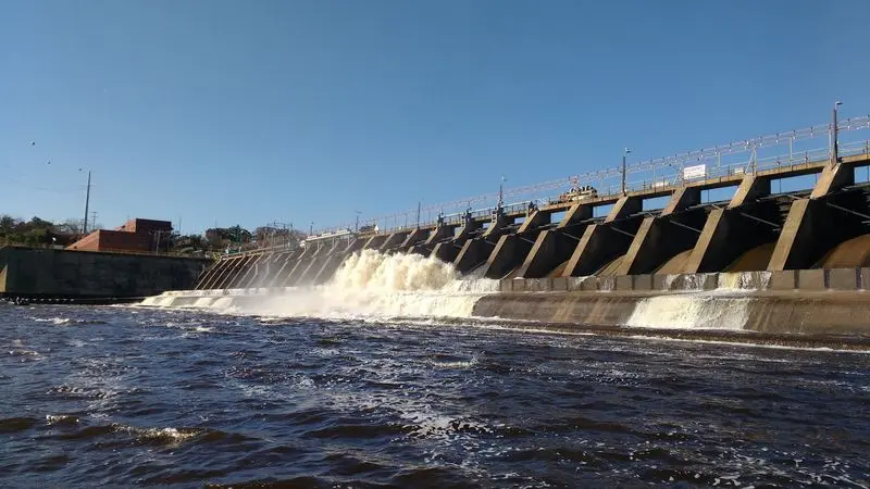
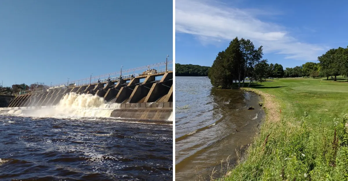
Picture a river that had flowed freely for thousands of years, then suddenly met a wall of concrete. That is exactly what happened near Prairie du Sac in the early 1900s.
Construction of the Prairie du Sac Dam began in 1911, and by 1914 the hydroelectric plant was sending electricity to homes and businesses.
Before the dam, the Wisconsin River moved through this area like most rivers do, winding past sandbars, islands, and farm fields. Once the dam was in place, the water could no longer rush downstream as it pleased.
It slowed down, rose higher, and began to spread out across the low land.
The result was a brand new reservoir that people would soon call Lake Wisconsin. For many families, the change felt huge, because the river they knew was replaced by something wider and deeper.
Today the dam still stands and still makes power, more than a century later.
If you ever visit, take a moment to look at the structure and imagine the noise of crews working there over 100 years ago.
How Lake Wisconsin Was Born
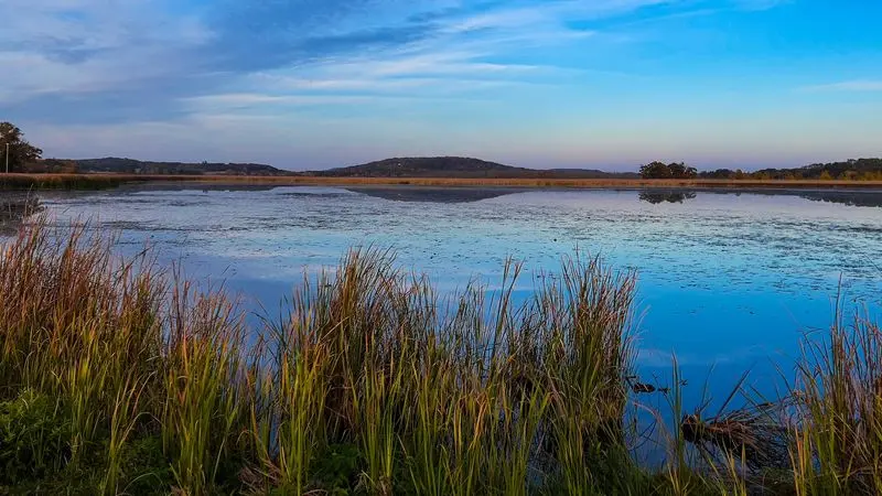
Fill a bathtub with the drain plugged, and the water climbs until it reaches every corner. Lake Wisconsin formed in a very similar way.
When the Prairie du Sac Dam was finished, the river water had nowhere to go, so it backed up and crept across the valley floor.
Week by week, low fields became shallow water, and shallow water became deep water. Creeks that once fed into the river turned into long, narrow bays.
Islands shrank or vanished, and a new shoreline took shape where nobody had ever seen one before.
Historical sources describe the lake as roughly 9,000 acres at its earlier size. Current Wisconsin DNR data lists it at about 7,197 acres, which is still enormous.
For comparison, one acre is a bit smaller than a football field, so picture thousands of fields covered in water!
Here is a fun way to think about it. Lake Wisconsin is not a natural lake at all, yet many visitors have no idea it was made by people.
Merrimac Before the Lake Arrived
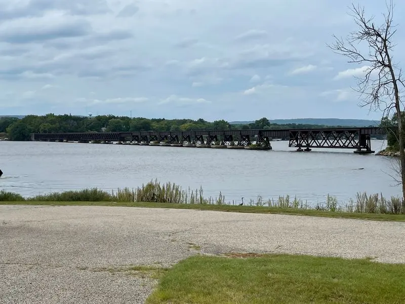
Long before there was a lake, there was a ferry. Back in 1844, a man named Chester Mattson began taking travelers across the Wisconsin River at the spot where Merrimac now stands.
People needed a way over the water, and his little ferry gave them one.
That simple river crossing became the seed of a town. Travelers stopped, settlers stayed, and farms spread across the nearby land.
Over the years, Merrimac grew into a small community built around three things: transportation, farming, and the river itself.
Life there would feel slow to us today. Families raised crops and animals, wagons rolled down dirt roads, and the river was both a highway and a challenge.
Spring floods and winter ice were part of everyday conversations.
Think about your own town for a second. Many places began because of a river, a road, or a railroad, and Merrimac is a perfect example.
Its whole reason for existing was getting people from one side of the water to the other.
A River Valley Turned Into a Reservoir
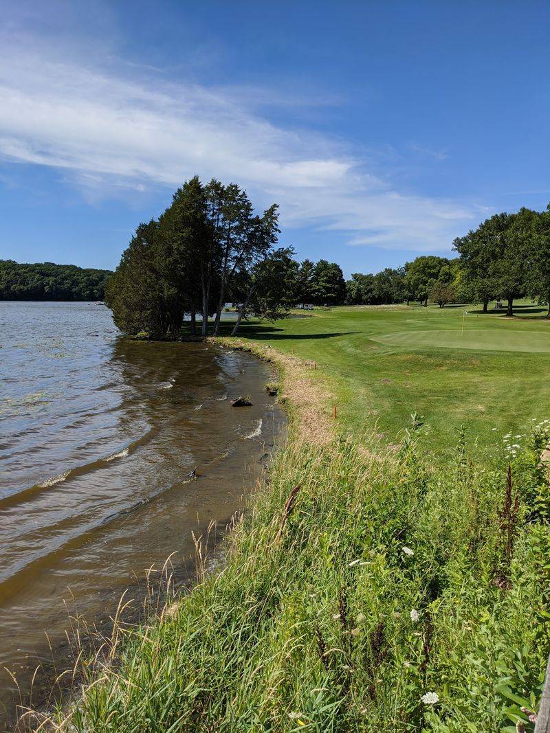
Imagine walking a familiar path to a neighbor’s farm, only to find it underwater a short time later. For people living near Merrimac, that was not just a scary thought.
It was real life once the reservoir started filling.
In historical terms, the change happened almost overnight. Land that had been part of the Wisconsin River valley became bays, marshes, shoreline, and open water.
Low pastures disappeared, and the river’s old banks were hidden far beneath the surface.
Nature adjusted too. Wetlands formed in shallow spots, giving fish, frogs, ducks, and herons new places to live.
Some animals lost their old homes, while others moved in to enjoy the calmer water.
When you look at Lake Wisconsin today, it is easy to forget what lies below. Somewhere under those waves are old field edges, fence lines, and the original path of the river.
Next time you are on the water, try to picture the farms and trails that once stood right where you are floating.
The Man Who Bet on Wisconsin River Power
Every big project needs someone stubborn enough to believe in it. For the Prairie du Sac Dam, that person was Magnus Swenson.
Born in Norway, he came to America and became a respected engineer and inventor.
Swenson looked at the Wisconsin River and saw more than water. He saw energy waiting to be used.
Working through the Southern Wisconsin Power Company, he pushed hard to turn the river’s force into electricity for the growing region.
His plan was a risky one. An earlier dam project at Kilbourn, near Wisconsin Dells, had run into money troubles, and many people doubted another dam would succeed.
Swenson pressed forward anyway, convinced that electric power was the future.
He turned out to be right. Electricity changed how people worked, lit their homes, and ran their businesses.
His story offers a useful lesson for anyone with a big idea: careful planning and determination can carry a project through when others have doubts, even if the results reshape an entire valley.
What Happened to the Communities Along the Valley?
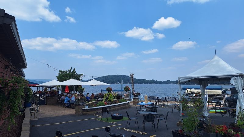
Let’s clear up a popular myth first. Merrimac was not picked up and moved to make room for Lake Wisconsin.
The town stayed right where it was, and it ended up sitting on the north shore of the new lake.
Still, the people living in the valley felt the change deeply. Rising water covered farmland that families had worked for years.
Some homes and buildings near the river were affected, and roads that once crossed low ground had to be rerouted or abandoned.
The whole settlement pattern shifted. Farmers had less land to plant, travel routes changed, and neighbors who had once been a short walk apart might now be separated by water.
Daily habits had to adapt quickly.
Stories like this remind us that progress often comes with a cost. Electricity brought real benefits to many people, but the families along the river paid a personal price.
Remembering both sides helps us understand history in an honest, more complete way.
The Ferry That Refused to Disappear
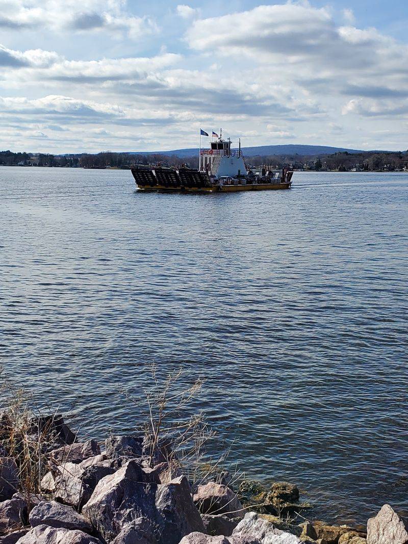
Some traditions are simply too good to give up. When the river turned into a wide lake, the old ferry crossing at Merrimac did not fade away.
It became more important than ever.
Ferry service here dates all the way back to 1844, making it one of the oldest crossings in the state. Today a boat called the Colsac III carries cars, bikes, and people between Merrimac and Okee.
The short trip saves drivers a long detour around the water.
Riding it feels a bit like stepping back in time. You pull your car onto the deck, the boat glides across, and you get a beautiful view of the lake in just a few minutes.
Kids especially love watching the shoreline drift by.
Quick tip: the ferry is free, but it usually runs only during warmer months and shuts down when ice forms. On busy summer weekends, expect a line, so pack some snacks and enjoy the wait.
From Working River to Recreation Destination

Who would have guessed that a power project would turn into a vacation spot? Over the decades, Lake Wisconsin slowly became a favorite place to relax.
Boats, fishing poles, and lake cottages replaced the farm wagons of the old river valley.
Anglers come here hoping to catch walleye, bass, crappie, and catfish. Boaters cruise the open water, while kayakers explore quiet bays and marshy edges.
In winter, some people even head out for ice fishing when conditions are safe.
Homes now line much of the shoreline. Some are small seasonal cabins, while others are year-round houses with docks and big windows facing the water.
Restaurants, marinas, and campgrounds help support a busy recreational economy.
The area looks nothing like the farming valley that existed before 1914. Yet in a strange way, the river is still serving people, just differently than before.
Instead of hauling goods, it now gives families a place to swim, fish, and make summer memories.
What You Can See Around Lake Wisconsin Today
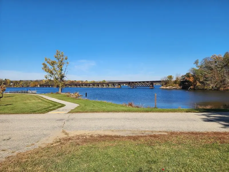
Ready for a road trip with a history lesson built in? Lake Wisconsin is a great place to see how one dam reshaped an entire landscape.
Best of all, you can explore it in a single day.
Start in Merrimac, the small town that grew from a ferry landing back in 1844. Walk around, grab a bite, and then roll onto the free Merrimac Ferry.
The ride across to Okee gives you a wide view of the water that once was a narrow river.
Next, head downstream to the Prairie du Sac Dam. Seeing it in person helps you understand how much water it holds back.
Nearby areas are also known for bald eagle watching in winter.
Save time for the Baraboo Hills, whose wooded ridges rise above the lake and make a stunning backdrop. Bring a camera, comfortable shoes, and plenty of curiosity.
Every view tells part of the story of a valley that changed forever.