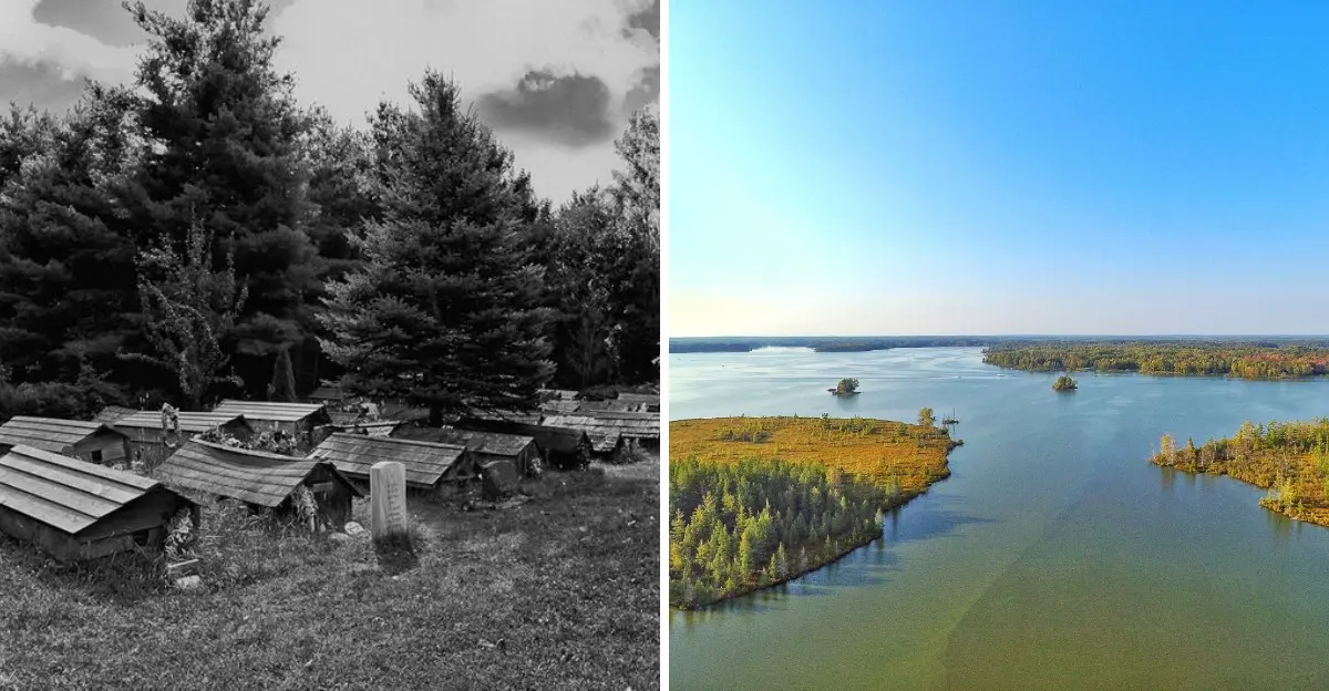
Beneath the calm waters of Wisconsin’s Chippewa Flowage lies a story far more deeply haunting than the lake’s quiet surface suggests.
Before boats crossed these waters and cabins lined the shore, an Ojibwe community called this area home.
Families lived here, worked the land, gathered food, and passed traditions from one generation to the next.
Then came the dam.
When the Chippewa Flowage filled in the 1920s, water covered homes, gathering places, wetlands, and burial grounds tied to the Lac Courte Oreilles Ojibwe community.
What disappeared from view did not disappear from memory.
Today, Lake Chippewa draws anglers, paddlers, campers, and curious travelers. Yet every island and stretch of shoreline sits within a much older story.
Here is what happened before the water rose—and why the story still matters today.
The Ojibwe Community That Once Stood Here
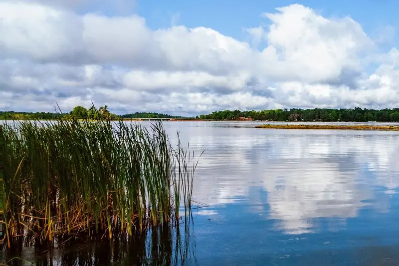
Picture a river valley where smoke curls from cabin chimneys and canoes glide through green rice beds. Long before any dam, Lac Courte Oreilles Ojibwe families lived along the Chippewa River and its nearby lakes and wetlands.
For these families, the land meant far more than a place to build houses. It fed them, taught them, and connected them to their ancestors.
People hunted deer in the forests, caught fish in the rivers, and gathered berries, plants, and medicines through the seasons.
Wild rice, called manoomin, was especially important. Each late summer, families harvested it by canoe, using wooden sticks to knock the ripe grains into the boat.
Rice was both food and a sacred gift.
Burial grounds rested near the villages, too, keeping loved ones close to home. When you look at the Flowage today, try to imagine all of that life happening right where the water now sits.
Thinking of it as a living homeland, not empty land, changes how the whole story feels.
The Village Known as Post
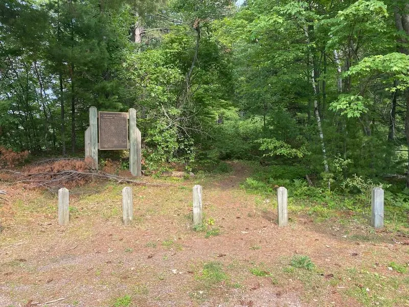
Names have power. Saying “some land was flooded” sounds vague and distant, but saying “the village of Post was flooded” makes you picture real streets, real homes, and real neighbors.
Post, sometimes called Old Post, was one of the Lac Courte Oreilles communities hit hardest by the rising water. The village had grown near a trading post along the river, which is how it got its name.
Families there had houses, gardens, a school, and gathering places where people shared news and celebrated together.
Once you know a village had a name, you start wondering about the kids who walked to school there. You think about grandparents telling stories by the fire and neighbors helping each other through tough winters.
Historians and tribal members often stress using the name Post for exactly this reason. It keeps the memory personal and specific.
Next time you read about lost places anywhere in the world, look for their names. They turn faded history into stories about people just like us.
Why Winter Dam Was Built
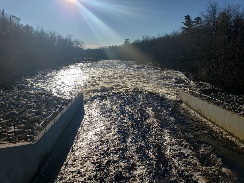
Here is a surprise for many visitors: the Chippewa Flowage was never meant to be a vacation lake. Boats and cabins came later.
Winter Dam was built mainly as a giant water control tool. Power companies downstream wanted a steady flow on the Chippewa River so their hydroelectric plants could run all year.
In spring, melting snow sent huge rushes of water down the river, while late summer could leave it low and slow.
By storing water behind a dam, operators could release it when needed. That meant more reliable electricity for growing towns and factories, plus some help preventing floods in places farther downriver.
From a business point of view, the plan made sense. From the view of the Ojibwe families living upstream, it meant their homes sat right where all that stored water would go.
Understanding the reason behind the dam helps explain the conflict. One group saw a reservoir for power, while another saw a homeland about to disappear.
The Tribe Objected Before the Water Rose
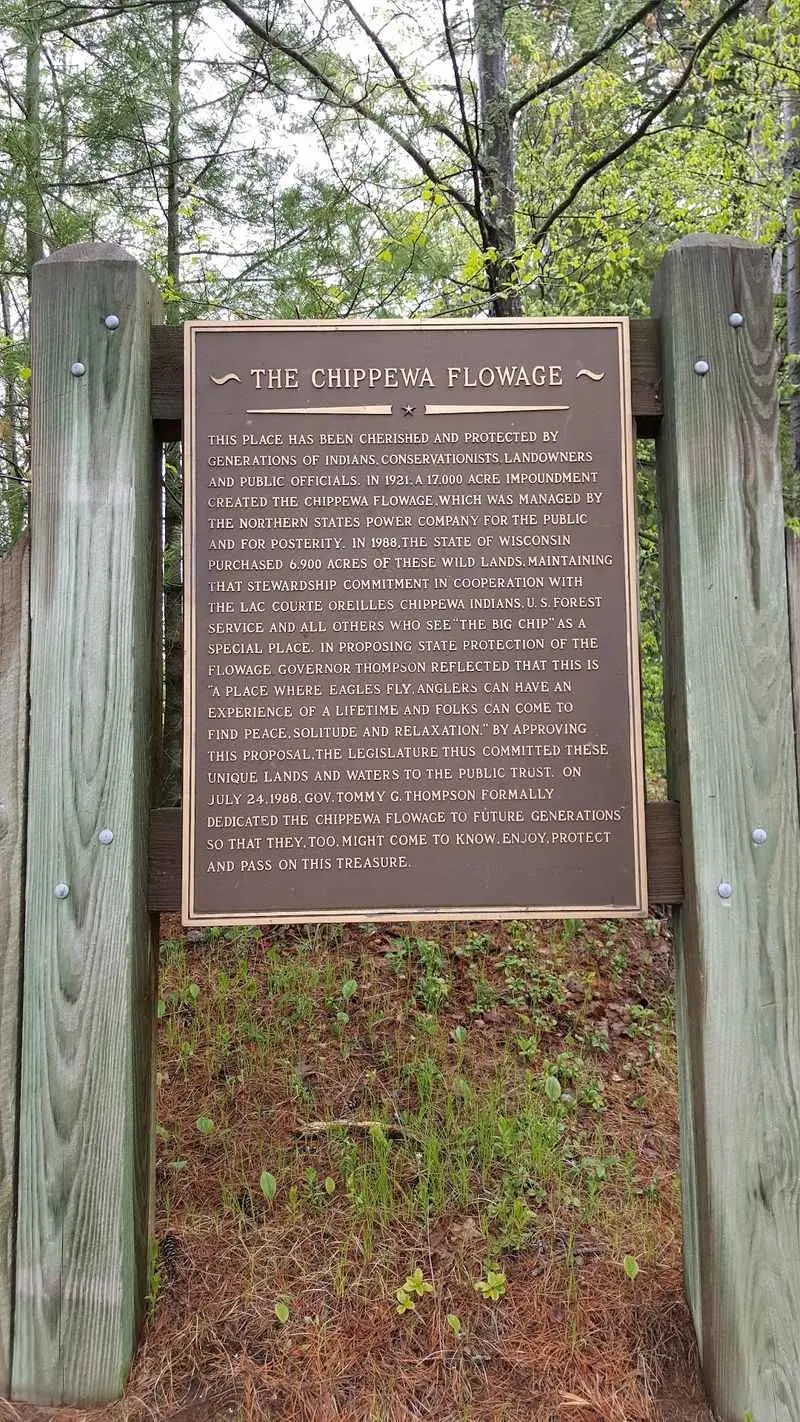
“No.” That was the answer Lac Courte Oreilles leaders gave, and they gave it more than once.
When power interests asked permission to flood reservation land, tribal representatives pushed back hard. They explained that the water would swallow homes, the school, the town of Post, and burial grounds.
Agreeing would mean giving up the heart of their community.
In 1916, the tribe rejected the request. In 1919, it was asked again, and again the answer was no. Those refusals show the community clearly understood what was at stake and stood up for itself.
Sadly, their objections did not stop the project. In 1921, a federal license was granted that allowed the dam to move forward anyway.
For many tribal members, this felt like a deep betrayal, since the decision about their own land was made by others far away.
Remembering these refusals matters. The tribe did not quietly accept the flooding.
They spoke up, and that courage is part of the story.
When the Chippewa Flowage Began Filling
Imagine watching the river creep a little closer to your door every week. In late 1922, that slow nightmare began.
By November 1922, construction of Winter Dam caused the Chippewa River to start backing up for the first time. Water spread into low areas as winter set in.
Then, in March 1923, workers closed the dam gates completely.
From that point, the reservoir kept rising. Through spring and into summer of 1923, the water climbed over fields, trails, rice beds, and homesites.
Forests turned into swamps, and dry land became islands or vanished entirely.
Quick timeline to remember:
November 1922 – the river first backs up. March 1923 – the gates close.
Summer 1923 – the water keeps rising.
Families had to move, often with little help and in a hurry. Some watched familiar places fade beneath the surface within months.
When people describe the Flowage being born, they are also describing a community being pushed out of its homeland.
What Was Lost Beneath the Water
A flooded village is easy to picture, but the loss went much wider than buildings. Think of it like losing a whole grocery store, pharmacy, and family album at the same time.
Shallow wetlands along the river had supported rich beds of wild rice for generations. When the water rose too deep, much of that rice could no longer grow.
A food source central to Ojibwe culture and diet was badly damaged almost overnight.
Gathering spots for plants and medicines disappeared too. Hunting grounds where families tracked deer and other animals were cut apart or covered.
Trails linking families and camps simply ended at the water’s edge.
Then there were the places tied to memory. Spots where ceremonies happened, where elders taught children, and where stories were rooted all slipped away.
So when you hear about the flooding, remember it touched every part of daily life. Food, health, travel, and tradition all changed, and the effects carried forward to new generations.
The Story of the Burials
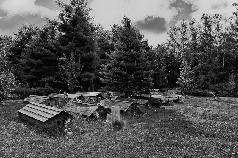
Some parts of history ask us to slow down and speak softly. The story of the burials is one of them.
Before the flooding, efforts were made to move some graves to higher ground. Historical records and tribal accounts describe this difficult work, which happened under pressure and in a short time.
Moving loved ones from their resting places was painful for families.
Not every grave was found or moved, though. According to the Lac Courte Oreilles wetland plan, many ancestral graves likely remain under the Flowage.
Others may have ended up scattered across islands and along the shoreline as water and erosion reshaped the land.
For visitors, this carries a simple lesson. Treat the islands and shores with care, much as you would any cemetery.
Never dig, take objects, or disturb anything that seems old or unusual.
If you find something that might be human remains or artifacts, leave it alone and report it to authorities. Respect here honors families who still remember.
A Huge Recreational Lake With a Complicated Past
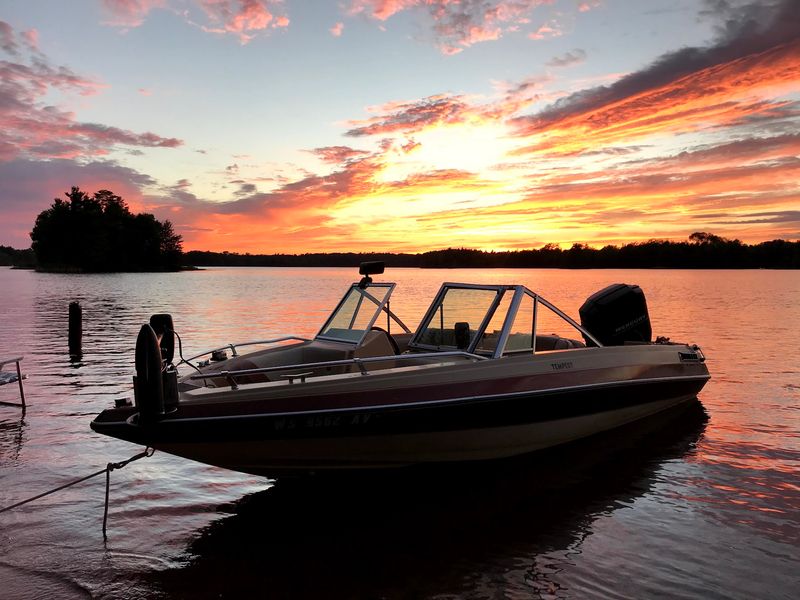
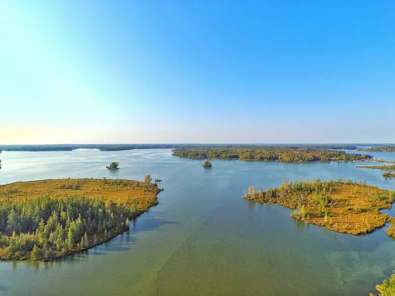
Fly over the Chippewa Flowage, and you would see a maze of blue water and green islands stretching in every direction. It is one of the largest inland lakes in Wisconsin.
The numbers are impressive. The Flowage covers about 15,300 acres and holds roughly 200 undeveloped islands.
Its twisting shoreline runs about 233 miles, which is longer than the drive from Hunter to Milwaukee!
Thanks to all that wild space, the area draws plenty of outdoor fans. Anglers chase muskie, walleye, and crappie.
Paddlers explore quiet bays, while hikers wander forest trails and campers pitch tents on islands under starry skies. Bald eagles and loons are common neighbors.
Here is the tricky part. The same water that brings joy to visitors also covers a lost homeland.
Both truths exist together.
Enjoying the lake does not mean ignoring its past. Holding both ideas in your mind can make your visit richer and more meaningful.
Why the Story Still Matters Today
Water can cover a village, but it cannot erase memory. Lac Courte Oreilles families still tell the story of Post, and that story shapes how the Flowage is cared for now.
Today, three partners share responsibility for the area. The Wisconsin DNR, the U.S.
Forest Service, and the Lac Courte Oreilles Band work together under a joint management plan. That teamwork gives the tribe a voice in decisions about land and water that were once made without them.
Tribal programs also work to heal what was damaged. Crews study and restore wetlands, protect wild rice, and look after fish and wildlife.
Each project helps bring back resources tied to culture and daily life.
Why should this matter to you? It shows that history keeps going.
Past choices still affect people, and today’s choices can help repair harm.
Learning stories like this one also teaches us to ask who lived somewhere before. That question can change how we see nearly any place.
Plan Your Visit
Ready to see the Flowage for yourself? You will find it in central Sawyer County near the town of Hunter, often called the Lake Chippewa area.
Getting around is simple with a map. County Highways CC, B, and G, plus Dam Road, lead to many access points.
Six public boat-access sites serve the lake, but facilities differ, so check ahead for parking, ramps, and restrooms.
The DNR lists the Flowage as open from 6 a.m. to 11 p.m. all year. No vehicle admission sticker is needed, which keeps a visit easy and affordable.
Bring a fishing rod, kayak, or hiking boots. Paddling the quiet bays and walking forest trails are great ways to enjoy the scenery.
If you plan to camp, check the current DNR camping rules first, since island sites have their own regulations.
Most importantly, visit with respect. Stay on trails, leave no trace, and never disturb old sites.
Take a moment to remember the community of Post beneath the water.