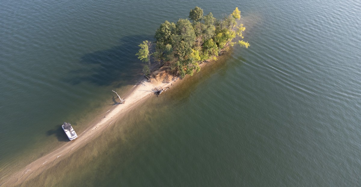
Connecticut’s largest lake is hiding an entire lost world beneath its surface.
Candlewood Lake looks like a peaceful getaway for boating, swimming, and fishing, but its story is far more dramatic.
This enormous body of water was created by people in the 1920s as part of a hydroelectric project.
Before the water arrived, this valley was home to farms, houses, roads, schools, and small communities.
Much of that old world was cleared, moved, or simply left behind as the reservoir took shape.
Today, nearly a century later, Candlewood’s submerged past still fuels curiosity.
The story beneath the water reveals just how much had to disappear to create one of Connecticut’s most beloved lakes.
Candlewood Lake Was Created By Design, Not Nature
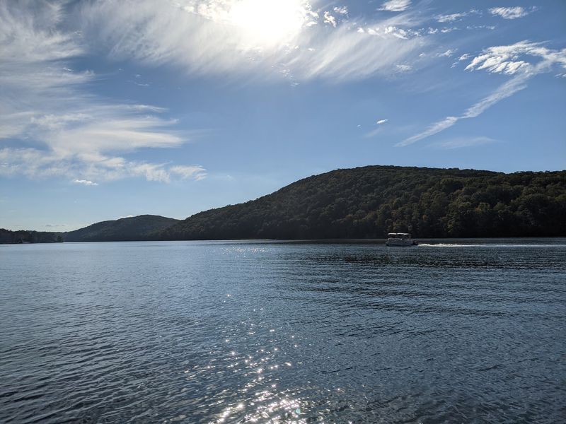
Stretching across roughly 5,420 acres, Candlewood Lake claims the title of Connecticut’s largest lake. What makes this distinction even more remarkable is that every drop of water filling this enormous basin was placed there intentionally by human hands.
Five different towns share the shoreline of this impressive reservoir. Danbury, Brookfield, New Fairfield, New Milford, and Sherman all border portions of the lake, making it a regional landmark that touches multiple communities.
Rather than forming through the slow work of glaciers grinding through bedrock or tectonic shifts creating natural depressions, Candlewood came into being through careful planning and engineering. The lake served a specific purpose from the very beginning, designed as a critical component of an ambitious hydroelectric project.
Before 1928, the landscape looked completely different. Where boats now glide across sparkling water, a rural valley once supported farms, forests, and small communities going about their daily lives with no idea their world would soon transform forever.
The Lake Began As A Massive Hydroelectric Experiment
Back in 1926, Connecticut Light & Power gave the green light to something nobody in the United States had attempted on this scale before. Engineers proposed building a pumped-storage hydroelectric facility that would use the Housatonic River and an artificial reservoir working together to generate electricity.
The concept was brilliant in its simplicity. During times when electricity demand was low, water would be pumped uphill from the river into the future lake.
When power was needed most, that stored water would rush back down through turbines, generating electricity on demand.
This Rocky River project became America’s first major pumped-storage hydroelectric development. The idea of using elevation and gravity to store energy was revolutionary, turning a valley into essentially a giant battery that could be charged and discharged as needed.
Engineers and planners believed this system would help stabilize the region’s electrical grid. The ambitious vision required transforming an entire landscape, but the potential benefits seemed worth the dramatic changes ahead.
An Entire Valley Had To Be Cleared Before The Water Arrived
Imagine trying to erase about 4,500 acres of established countryside. Trees had to be cut down, farms needed dismantling, roads required removal, and every trace of human activity faced elimination before water could fill the space.
More than 1,000 workers descended on the peaceful valley to accomplish this monumental task. These crews spent roughly 26 months systematically transforming the landscape, working in all weather conditions to meet the project’s aggressive timeline.
Orchards that had produced fruit for generations were uprooted. Ponds that had served local farms were drained or incorporated into the larger plan.
Even the natural features of the land underwent dramatic alteration to prepare for the coming flood.
Construction crews built dams, installed massive pipes called penstocks, and created the infrastructure needed to control water flow. The scale of earthmoving and preparation work rivaled some of the era’s most ambitious public works projects, permanently altering the region’s geography in service of electrical power generation.
Homes, Farms, Schools And Churches Once Occupied The Lakebed
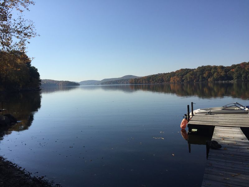
Around 100 buildings stood on land destined to become lake bottom. Houses where families raised children, barns where farmers stored harvests, schools where students learned their lessons, and churches where communities gathered for worship all faced the same fate.
Thirty-five families owned property in the area marked for flooding. For these residents, the hydroelectric project meant more than just relocating buildings or finding new farmland.
Their entire way of life, deeply rooted in this particular valley, faced disruption.
Some structures were carefully dismantled and moved to higher ground or nearby locations. Others were simply demolished, their materials salvaged or abandoned as the construction timeline pressed forward.
The choice often depended on a building’s condition, historical significance, or the owner’s resources and determination.
Think about leaving behind not just a house, but the land your grandparents farmed, the view you woke up to every morning, and neighbors you’d known your whole life. The human cost of progress affected real people with deep connections to this valley.
The Village Of Jerusalem Disappeared Beneath The Water
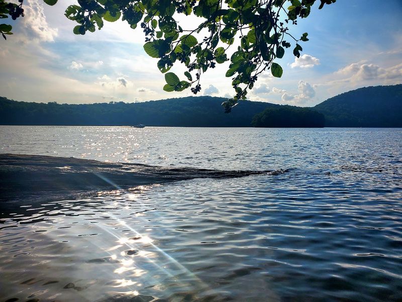
Jerusalem wasn’t just another collection of buildings marked for removal. This small community represented a complete settlement with its own identity and history, occupying part of the valley before the reservoir swallowed it whole.
Historical records confirm that Jerusalem existed as a recognized community in the area destined for flooding. When water began rising in 1928, Jerusalem effectively ceased to exist in the physical world, though it lives on through historical accounts and local memory.
The village gives Candlewood Lake an almost mythical quality. Unlike many reservoirs that merely displaced scattered farms, this lake literally erased an entire named community from the map.
Modern visitors boating across the water might pass directly over where Jerusalem’s main street once ran.
Stories about the submerged village have fascinated locals and visitors for decades. Divers occasionally explore the lake bottom hoping to find remnants of Jerusalem, while historians work to preserve memories of a community that exists now only in photographs, documents, and the stories passed down through generations whose families once called Jerusalem home.
Old Roads And Other Remnants Were Left Behind
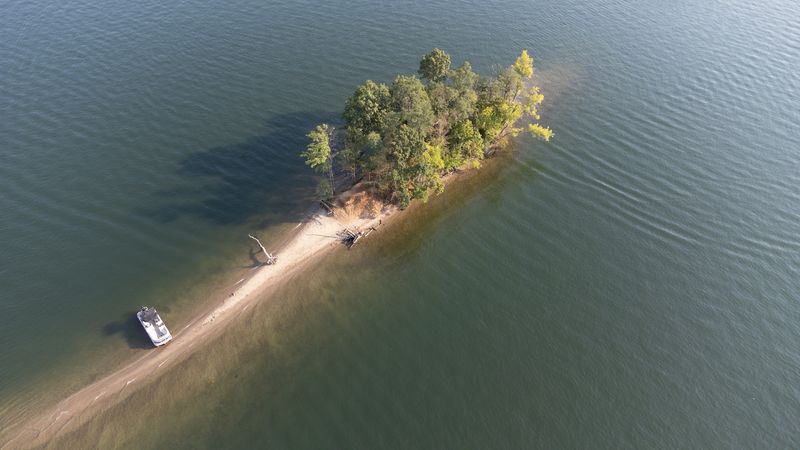
Not everything in the valley was removed before flooding began. Clearing 4,500 acres completely proved impossible within the construction timeline, so certain features simply remained in place as water rose around them.
Divers exploring Candlewood today report finding evidence of the pre-lake landscape beneath the surface. Old roads that once connected farms and communities still trace their paths across the lake bottom, though now traveled only by fish and curious scuba enthusiasts.
Stone foundations mark where buildings once stood. Walls that separated properties or kept livestock contained now provide habitat for aquatic life.
These underwater remnants create an eerie landscape that blends natural lake ecology with human history.
The presence of these submerged structures makes Candlewood particularly interesting for history enthusiasts and experienced divers. Swimming or boating above a sunken road creates an odd connection to the past, knowing that people once walked or drove wagons along that exact path, never imagining it would become part of a lake floor.
Even Cemeteries Had To Be Moved
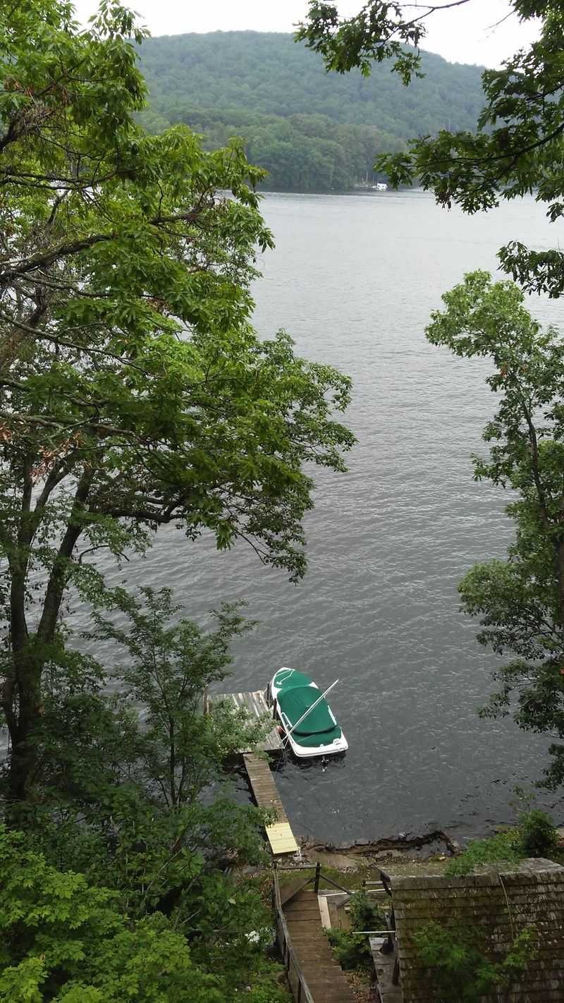
Perhaps the most sensitive aspect of creating Candlewood involved disturbing the dead. Burial grounds in the valley couldn’t simply be left to flood, requiring the difficult task of exhuming and relocating human remains.
Historical records document gravestones being carefully removed and transported to new locations. Families had to decide where their ancestors would rest permanently, often choosing cemeteries in nearby communities that would remain above the waterline.
The process required both physical labor and emotional resilience from those involved.
This relocation helps explain why persistent stories about a cemetery beneath Candlewood circulate even today. The legend contains truth, though the reality proved more complicated than tales of tombstones still standing underwater might suggest.
Most burial sites were properly moved before flooding began.
The cemetery relocations add another layer to Candlewood’s creation story. Beyond disrupting living communities, the project also disturbed those who’d been laid to rest, requiring their final journey to new burial grounds.
This aspect of the lake’s history reminds us that transforming a landscape affects both present and past.
The Lake Filled With Water In A Remarkably Short Time
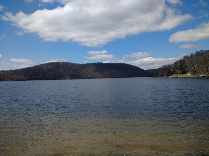
On February 25, 1928, pumps roared to life and Housatonic River water began its journey uphill through massive penstocks into the newly prepared reservoir basin. What had been a cleared valley started its transformation into Connecticut’s largest lake.
Engineers and workers watched as water gradually covered roads, foundations, and the landscape they’d spent over two years preparing. The filling process continued day and night, with pumps pushing water upward to create the elevated reservoir essential for the hydroelectric system.
Just seven months later, on September 29, 1928, the lake reached its planned elevation. The speed of this transformation meant that anyone who’d known the valley before construction could return less than a year later to find a completely different landscape, with water covering everything familiar.
The rapid filling period marked the final phase of the valley’s disappearance. Trees, foundations, roads, and remnants of the old communities vanished beneath rising water, completing the transition from rural valley to massive reservoir.
A landscape shaped by generations of farming and settlement had become something entirely new.
Nearly A Century Later, The Original Engineering Idea Still Matters
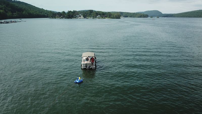
While thousands of people now enjoy Candlewood for swimming, boating, and fishing, the lake never stopped serving its original purpose. The Rocky River pumped-storage system continues operating, making this recreational paradise also a working piece of infrastructure nearly 100 years after its creation.
Water still moves between the lake and the Housatonic River based on electrical demand. During off-peak hours, pumps send water uphill to store potential energy.
When power needs spike, that stored water rushes back down through turbines, generating electricity for the regional grid.
This dual identity makes Candlewood unusual among Connecticut’s recreational waters. Most popular lakes exist purely for enjoyment or water supply, but Candlewood balances recreation with its continuing role in power generation.
Boaters and swimmers share the water with an active hydroelectric facility.
The engineering vision from 1926 proved remarkably durable. Despite massive changes in technology and energy production, the basic concept of pumped storage remains valuable.
Candlewood stands as both a testament to early 20th-century ambition and a still-functioning example of renewable energy storage.
Plan Your Visit To Candlewood Lake
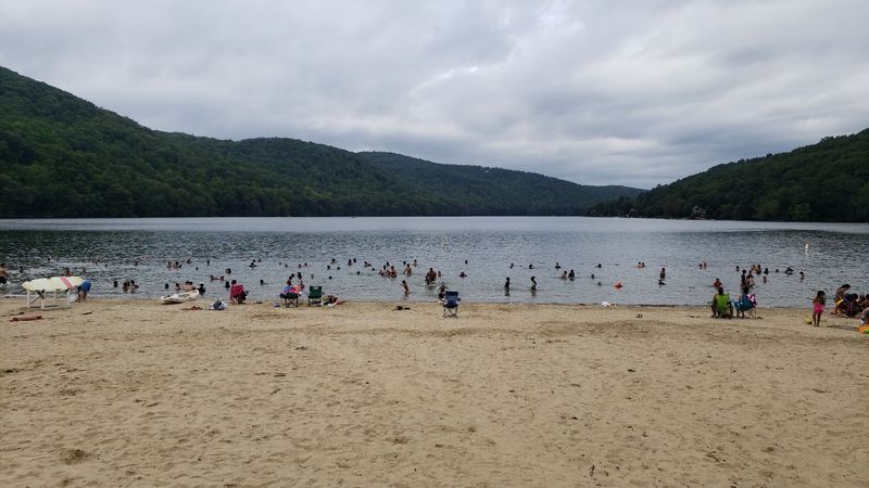
Ready to explore Connecticut’s largest lake yourself? Since Candlewood stretches across five communities rather than operating as a single park with one main entrance, your best access point depends on what you’re hoping to experience.
Each bordering town offers different opportunities. Danbury, Brookfield, New Fairfield, New Milford, and Sherman all maintain public access points, beaches, and parks along their respective shorelines.
Check local town websites for specific beach locations, boat launches, and parking information, as rules and fees vary by community.
Boating enthusiasts will find multiple marinas and launch sites around the lake. Fishermen can pursue bass, perch, and other species throughout the season.
Swimmers should look for designated beach areas with lifeguards during summer months.
For those interested in the lake’s fascinating history, local historical societies in the surrounding towns often maintain archives and exhibits about the valley before flooding. Seasonal considerations matter too since some facilities close during winter months.
Planning ahead ensures you’ll find the right spot for your interests and the season of your visit.