Under a big South Carolina lake sit the traces of old farms, churches, schools, and family homesteads.
Nearly a century ago, a giant earthen wall rose across the Saluda River, and the water slowly crept over land that thousands of people once called home.
Today, boats zip across the surface while anglers chase striped bass, and few people stop to think about what lies below.
The story behind this lake is full of hard choices, big engineering, and changes that still shape the area today.
Behind the peaceful scenery lies a remarkable story of engineering, displaced communities, and a landscape transformed forever.
Understanding that history gives every visit to Lake Murray a deeper meaning.
Where the Water Begins
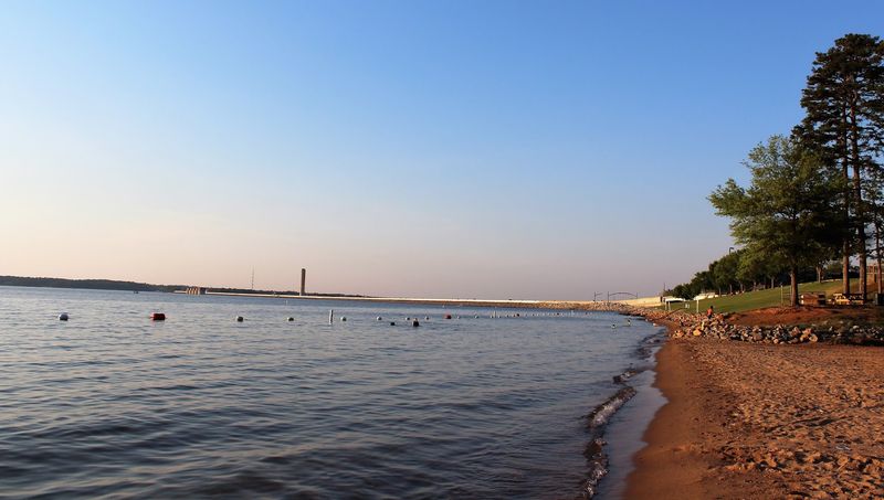
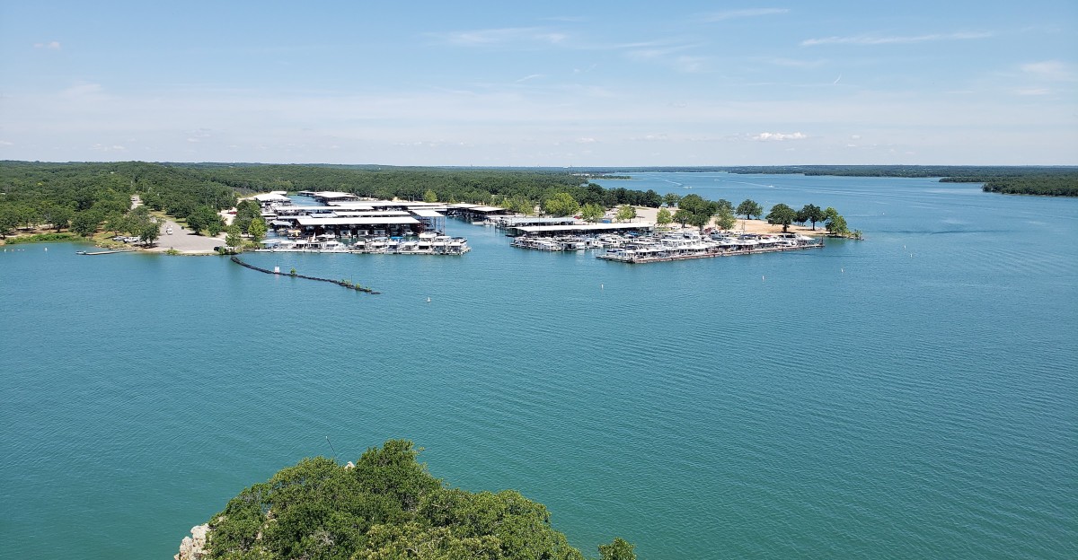
Lake Murray sits in the Midlands of South Carolina, USA, just west of the capital city of Columbia. Its shoreline touches four counties: Lexington, Richland, Saluda, and Newberry.
Size is the first surprise for many people. The lake covers about 50,000 acres and stretches roughly 41 miles long, with around 650 miles of winding shoreline.
That shoreline is full of coves, inlets, and points. Some towns near the water include Lexington, Chapin, Irmo, Prosperity, and Saluda.
Getting there is fairly simple. Interstate 26 runs along the north side, and several main roads lead down to public boat ramps, parks, and marinas.
One trip is rarely enough to see it all. The lake is so wide and long that many folks plan a full weekend or more just to explore different corners.
A smart move is to pick one side of the lake for each visit. The eastern end near the dam tends to be busier, while the upper river end near Saluda feels quieter and more spread out.
A River Valley Before the Flood
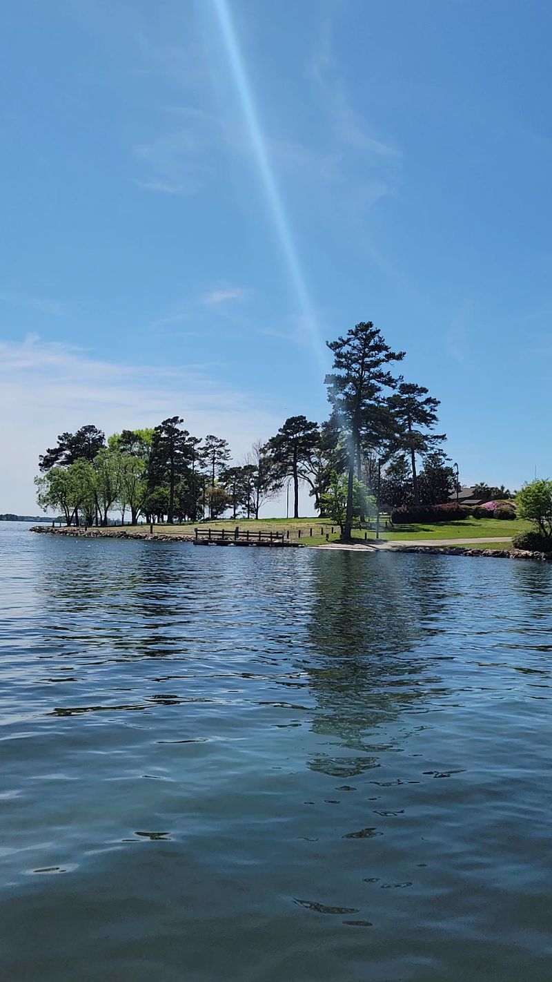
Long before anyone launched a boat here, the Saluda River valley was busy farmland. Families grew cotton and corn, raised livestock, and gathered at small churches on Sundays.
Records show that the project bought up land from thousands of residents. According to local historical records, land was purchased from more than 5,000 families to make way for the reservoir.
Nearly a dozen communities were abandoned, changing the lives of generations who had called the Saluda River valley home.
The valley held more than houses. There were schools, stores, mills, roads, and dozens of family and church cemeteries.
Small communities had grown up over many generations. Some families had lived on the same land since the 1700s and 1800s.
For them, moving was not just about packing boxes. It meant leaving fields their grandparents had worked and places where their families had gathered for years.
So when you look across the open water today, keep in mind that it was once a living, working valley. That simple thought can change how the whole lake feels during a visit.
Building a Giant Wall
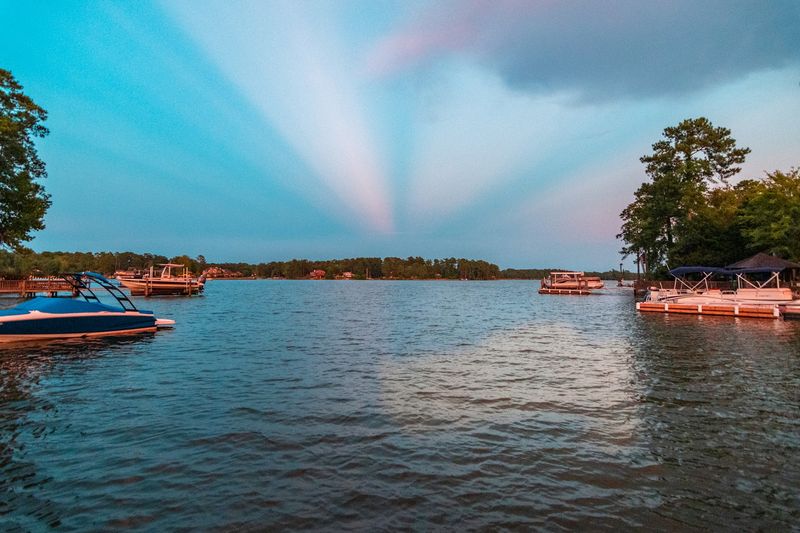
Construction started in 1927, and it was a massive job for its time. The goal was to block the Saluda River and create power for the growing region.
The Saluda Dam was built mostly from packed earth. When it was finished in 1930, it was called the largest earthen dam for power in the world.
Its numbers still impress. The dam is about 1.5 miles long and over 200 feet tall.
Thousands of workers helped build it. During tough economic times, those jobs mattered a lot to families in the area.
The project was led by the Lexington Water Power Company. The lake was named after William S.
Murray, an engineer who helped plan it.
Fun fact: many people still call it the Dreher Shoals Dam, after the shoals that once sat on the river nearby. Ask a few locals, and you may hear both names used in the same conversation.
Whole Towns Moved Away
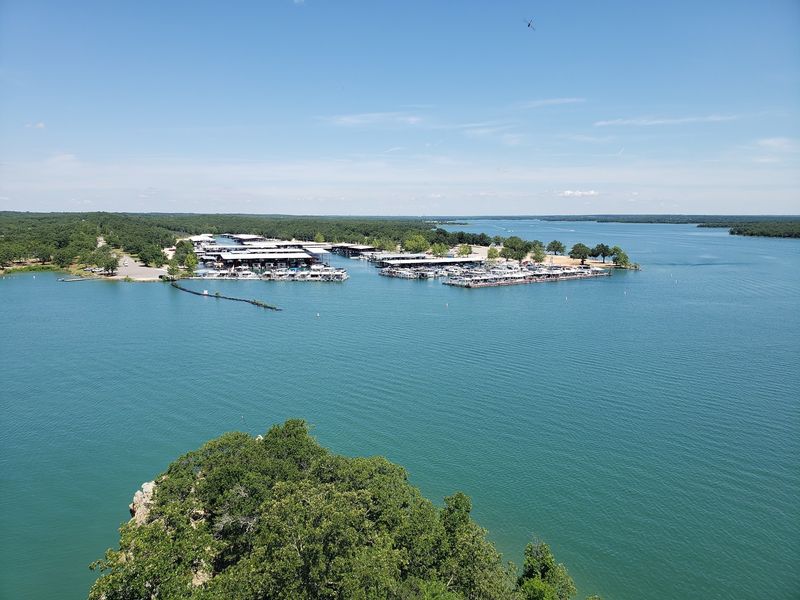
Here is a detail that stops many people in their tracks. Before the water rose, workers cleared the valley of buildings and trees across thousands of acres.
Some homes were torn down. Others were moved to new spots on higher ground, along with a few churches.
Cemeteries were a big concern for local families. Many graves were moved to new resting places, though historians say some smaller burial sites were left in place under the water.
Communities did not vanish all at once. Families scattered to nearby towns like Chapin, Lexington, and Saluda, and some never returned to the area.
Not everyone was happy with what they were paid for their land. That tension is still part of the lake’s story and is often discussed in local history talks.
Local museums and libraries in the Midlands keep photos, maps, and family records from that time. Stopping by one is a great way to put real names and faces to the history.
What Lies Beneath
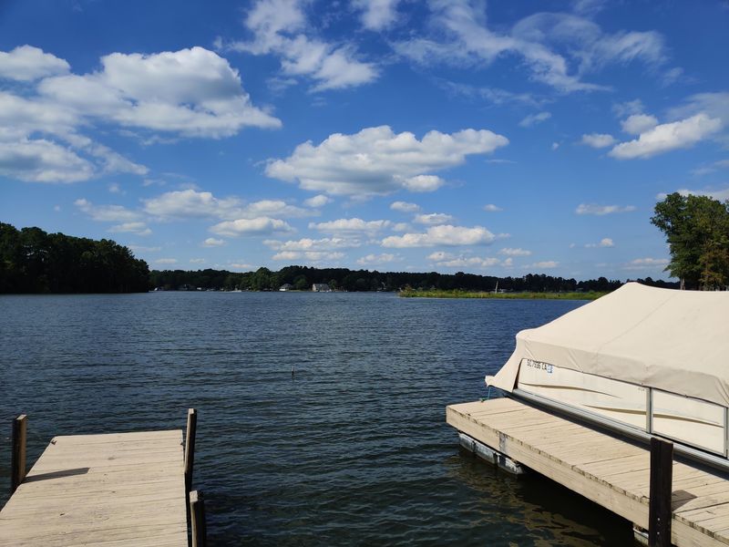
Ever wonder if there is anything left down there? The short answer is yes, a little.
Old roadbeds, building foundations, and bridge pieces are thought to remain under parts of the lake. Divers and fishermen sometimes talk about finding signs of the old valley.
The lake reaches depths of approximately 200 feet in its deepest areas, keeping many remnants of the former valley hidden far below the surface.
Fishermen use this to their advantage. Underwater roads, stumps, and humps can attract fish, so anglers study depth maps carefully.
There is also a famous piece of World War II history in the lake. A B-25 bomber went down during a 1943 training flight, and the crew made it out safely.
That plane was raised from the water in 2005 and is now displayed at a museum in Alabama. Even the lake’s mysteries tend to come with a good story attached.
A Walk Across History
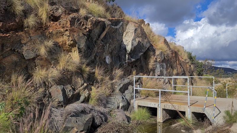
One of the best free things to do at the lake is simple. You can walk right across the dam.
A paved path runs along the top of the dam, and it is popular with walkers, joggers, and families. Many locals make it part of their regular routine.
On one side, the lake stretches out wide and open. On the other side, you can see the land drop down toward the Saluda River below.
The walk is a few miles round trip, so wear good shoes and bring water. On hot summer days, mornings and evenings are the most comfortable times to go.
Parking areas sit near each end of the dam. There is also a public park area with picnic tables nearby.
Walking the dam gives a real sense of how big the 1930 project was. Few history lessons come with this much fresh air and such a long view.
The Newer Dam Behind the Old One
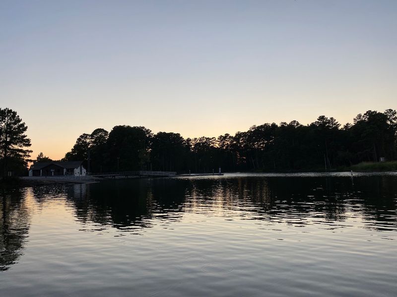
Old dams need care, and this one got a major upgrade. Engineers decided the 1930 dam needed extra protection in case of a strong earthquake.
So a second dam was built right behind the first one. Work began in the early 2000s and finished around 2005.
The new structure is a roller-compacted concrete dam. It was a huge project and cost hundreds of millions of dollars.
During construction, the road across the dam was closed. Local drivers had to take long detours for several years.
Once the work wrapped up, the area got a new walking path and public recreation spots. That is part of why the dam walk is so popular today.
Today, Dominion Energy owns and operates the dam and power station. The lake still makes electricity, almost a century after the first power flowed.
It is a nice reminder that big projects often need a second chapter to stay safe and useful.
Islands Born From Hilltops
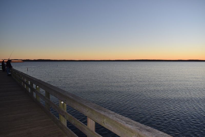
When the water rose, some old hilltops stayed dry. Those high spots became islands, and a few are now among the lake’s best places to visit.
Dreher Island State Park is the big one. It spreads across three islands near Prosperity and offers about 12 miles of shoreline.
The park has campsites, cabins, boat ramps, fishing spots, and short hiking trails. Picnic shelters make it easy for families to spend a full day there.
Kayakers love paddling the calm coves around the islands. Herons are a common sight along the edges, and fish often jump in the evenings.
Bring a map or use a GPS app on the water. With so many coves, it is easy to get turned around.
Those islands are another quiet link to the past. Every one of them was once a ridge or rise above farmland, before the valley filled.
Few people realize they are paddling past old hilltops.
Chasing Stripers
Ask any angler in South Carolina about striped bass, and this lake will come up fast. It has a strong reputation for striper fishing.
Stripers are big, strong fish that roam in schools. Many anglers search for them in deeper water during the hot months.
Largemouth bass, crappie, and catfish also live in the lake. That variety keeps fishing interesting year round.
A South Carolina fishing license is required for most anglers. You can buy one online from the state Department of Natural Resources.
Fishing guides work on the lake and know where the fish are hiding. Hiring one is a great choice for beginners or anyone with limited time.
Families with kids can fish from public piers and banks too. You do not always need a boat to land a nice catch.
Check local rules on size and catch limits before you go. Following them helps keep the fish population healthy for the next trip.