Calm water, cypress stumps, and drifting reflections make this North Central Florida lake feel wonderfully peaceful.
Rodman Reservoir stretches across the Ocklawaha River valley in Putnam County, not far from Palatka.
It was created in the late 1960s when a dam was built for the ambitious Cross Florida Barge Canal, a project that was never finished.
The rising water covered forests, springs, and traces of the communities that once lined the river.
Today the reservoir is famous among anglers for big largemouth bass and among families for quiet boating and wildlife watching.
Pack a picnic, bring binoculars, and get ready to discover the fascinating story hiding beneath the surface.
Before the Water, There Was Rodman
A boat glides across quiet water, but the view was not always a lake. Before Rodman Reservoir, Florida 32134, USA existed, a small community called Rodman stood in this part of the Ocklawaha River valley. People built lives around the river, nearby roads, and the work available in the area.
The community’s story is easy to miss because the reservoir now draws most of the attention. It is tempting to picture a complete town sitting directly beneath every passing boat. History is less tidy: the former settlement and the flooded landscape are connected, but old buildings cannot be placed under specific spots without reliable maps or records.
For a visitor, that uncertainty can be part of the lesson. Look at the shoreline and imagine how different it might have seemed when the river followed its older course. A calm fishing trip can also become a chance to ask whose homes, workplaces, and familiar paths changed when the water rose.
If you want to learn more, compare historical maps with present-day maps before visiting. Notice place names, old road routes, and the river’s former bends. Those small clues help make the community’s past more real without turning a complicated history into a simple underwater legend.
A River Community Took Shape
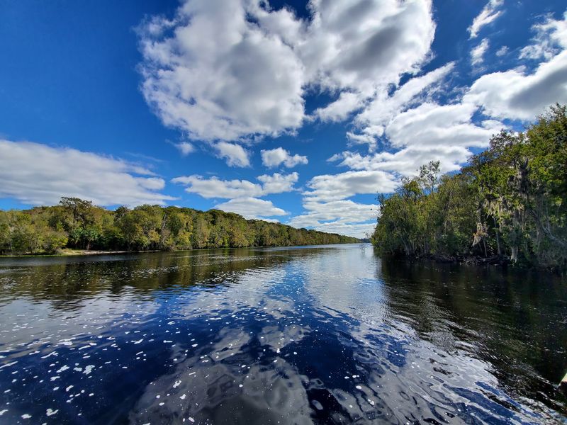
Picture a river that served as both a path and a workplace. For communities along the Ocklawaha, water shaped where people traveled, gathered, and earned a living. Rodman belonged to that larger river story long before anglers began visiting the reservoir.
Older communities were rarely frozen in one neat shape. Families moved, businesses opened or closed, and roads changed as needs changed. That makes a former town harder to understand than a single faded photograph might suggest.
When looking into Rodman’s past, start with questions rather than dramatic claims. What did people do for work? How did they cross the river or reach nearby communities? Which names appear on older maps, and do those names describe a town, a landing, or a broader area?
Local archives, historical newspapers, and county records can help answer such questions. Different sources may use different spellings or mark places differently, so check more than one. Even a simple map comparison can show why a modern lake does not tell the whole story.
Visitors can bring that curiosity to the water without disturbing anything. Take photographs, read posted information, and leave possible artifacts where they are. The best way to honor an earlier community is to learn carefully, share what is supported, and avoid filling gaps with guesses.
The Canal Project Changed Everything
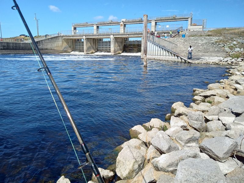
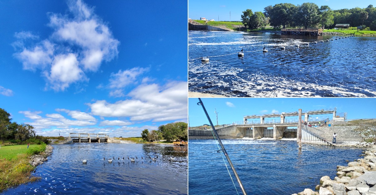
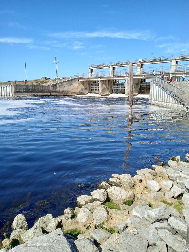
The water did not appear because of a natural change in the river. Rodman Reservoir was created in the late 1960s as part of the Cross Florida Barge Canal project. That plan aimed to make a water route across the state, and it brought major construction to the Ocklawaha.
A dam held back the river and spread water across land that had looked very different before. Flooding changed trees, wildlife habitat, travel routes, and the way people experienced the area. For anyone who knew the older landscape, the change was far bigger than adding a place to fish.
The wider canal project later stopped, but the reservoir remained. That is why the water can feel like a piece of an unfinished plan. It still serves recreation, even though its original purpose belonged to a project that was never completed.
While visiting, try to separate these events in your mind. The historic community existed first, the canal plan came later, and the present reservoir is the result of those later construction choices. Keeping that order straight makes the story clearer.
Construction photographs and government timelines are useful companions to a modern map. They show how quickly a familiar landscape can change when people build for a future that may never arrive as planned.
Why Trees Still Break the Surface
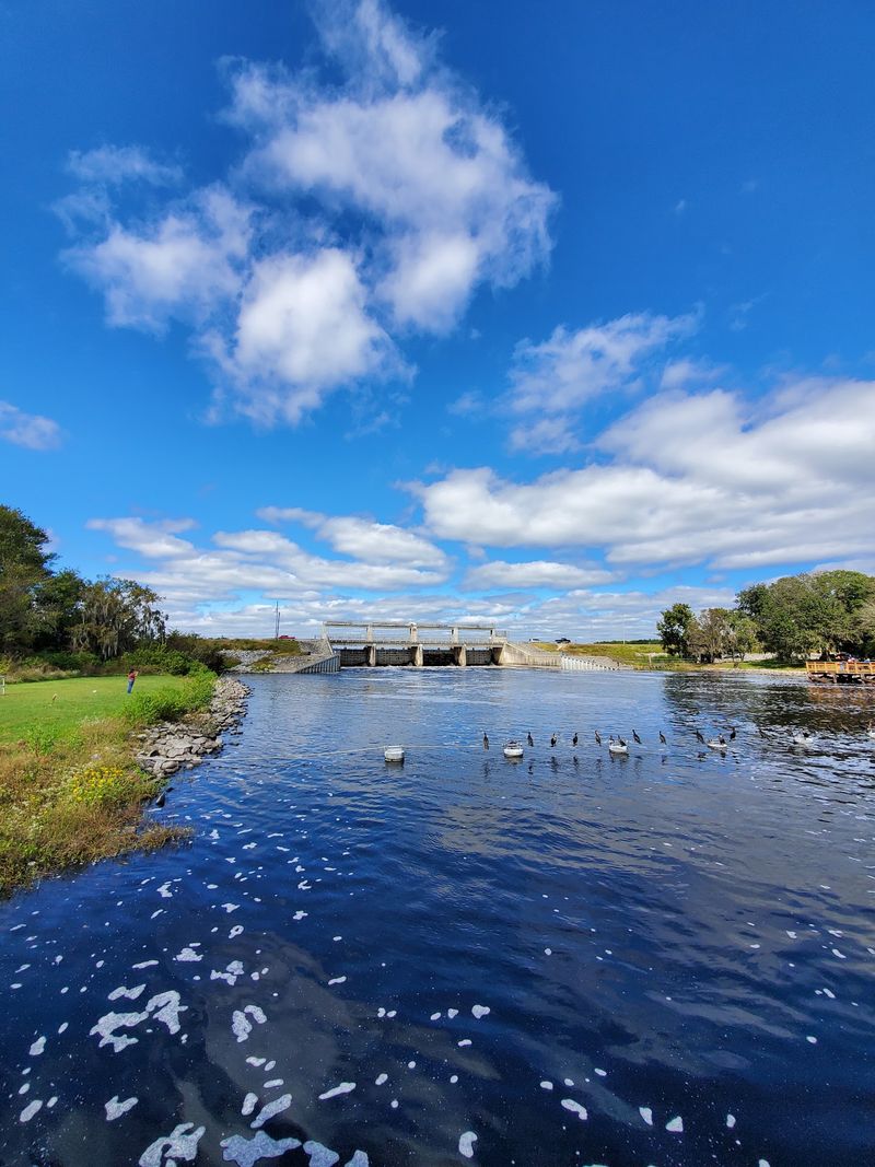
Dark tree shapes rising from the water make a striking first impression. They also remind visitors that the reservoir covers a former land and river landscape. Standing timber, floating wood, and submerged stumps are part of what boaters must watch for here.
A smooth surface does not promise clear water underneath. Some obstacles sit just below sight, where a motor or hull can hit them. Visitors who know the area often warn newcomers to slow down, watch channel markers, and avoid guessing where deeper water begins.
Good preparation matters more than confidence. Check current conditions before launching, carry a reliable map, and make sure someone knows your route. Wear a properly fitted life jacket, even for a short trip. If you are unfamiliar with the water, consider going with an experienced local guide.
Kayakers and canoeists need caution too. Stay alert for fallen wood, changing weather, and motorboats, especially near marked travel routes. The quietest looking corner may still hold a hidden hazard.
From shore, those tree shapes tell another story. They are visible signs of how the landscape changed when water rose over it. Taking time to notice them connects a practical safety lesson with the reservoir’s unusual past. A memorable view is even better when everyone returns safely.
Fishing Became a New Tradition
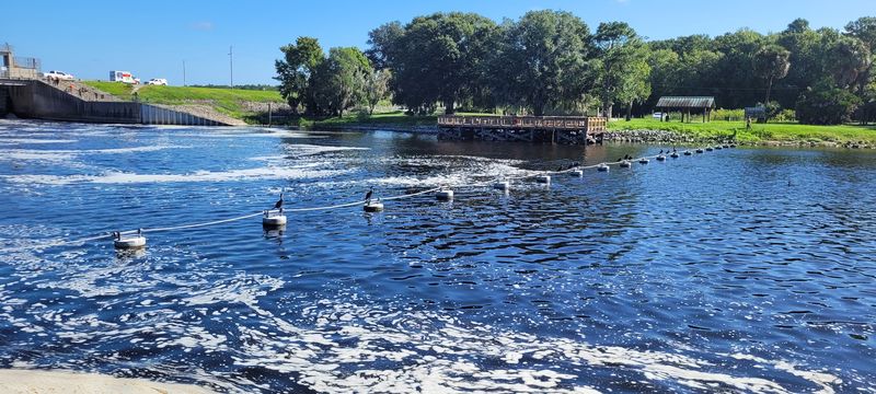
For many visitors, the first clue that something special lies here is a fishing rod. The reservoir is known as a place to pursue largemouth bass, and anglers also come simply to spend time outdoors. Today’s fishing culture is one chapter in a much longer story of people using these waters.
A good trip begins before the boat reaches the ramp. Check current fishing rules, license needs, weather, and water conditions. Bring drinking water, sun protection, and a life jacket for each person. If boating, remember that timber can hide under the surface.
New anglers do not need expensive gear to enjoy the day. A simple setup, patience, and advice from someone familiar with the water can go a long way. Fishing from shore can also be rewarding when access and conditions allow.
Catch or no catch, pay attention to what surrounds you. Birds moving over the water, tree shapes along the shore, and the slower pace can be the best parts of a visit. Keep fishing line and hooks out of the landscape, where they can harm wildlife.
It is easy to call the reservoir a fishing destination and stop there. Remembering the earlier river community gives the experience another layer. One place can hold both present-day traditions and stories that deserve careful attention.
Wild Neighbors Share the Shore
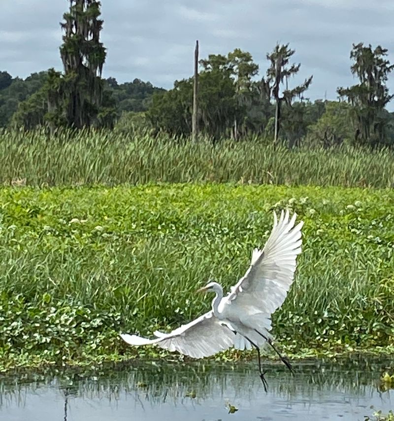
A ripple beside the reeds might be a fish, a turtle, or an alligator. Wildlife is one reason the reservoir feels so different from an ordinary roadside lake. Visitors often watch birds overhead and scan the shoreline for animals moving through the shallows.
Enjoying those sights means giving wildlife room. Never feed an alligator, approach one for a photograph, or let a pet wander near the water’s edge. Keep children close, stay on established access areas, and follow any posted warnings. Swimming is not a sensible way to explore this setting.
A pair of binoculars can make the day more rewarding. They let you study a distant bird without chasing it or stepping into fragile plants. Early and late light can be pleasant for watching, but plan your return before visibility becomes poor.
Wildlife also helps tell the reservoir’s story. Animals use the habitat that exists today, while the dam changed the river habitat that came before. Those facts can both be true. A place can support interesting life now and still raise serious questions about past environmental changes.
If you visit with children, turn the trip into a quiet spotting game. Count birds, notice animal tracks, and talk about why distance protects both people and creatures. Curiosity works best when it comes with care.
The Water’s Future Is Still Debated
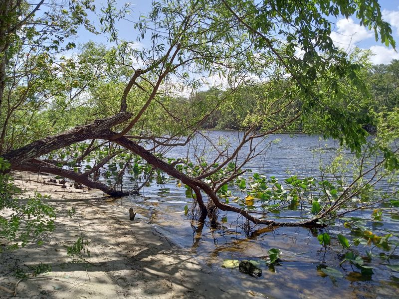
Not everyone looks across the water and sees the same future. Some people value the reservoir for fishing, boating, and the memories they have made there. Others want the dam removed so the Ocklawaha can flow more freely again.
The debate reaches beyond one favorite view. Supporters of river restoration discuss habitat, fish passage, and the river’s natural course. People who want to keep the reservoir point to recreation and the community built around it. Both sides are talking about real places and real experiences.
For a curious visitor, the most useful step is to read beyond a single sign or slogan. Look for current information from public agencies, along with thoughtful views from people who use the water and people who study the river. Separate what exists today from proposals for what might happen later.
Questions can guide the research. How would a change affect fish, wildlife, boating access, and nearby people? Which claims describe measured effects, and which describe hopes or fears? The answers may not fit neatly into one sentence.
Whatever happens next, the reservoir’s history will remain important. The older community, the canal project, and today’s recreation all belong in the conversation. Listening carefully makes it easier to understand why this calm water inspires such strong feelings.
How to Visit With the Past in Mind
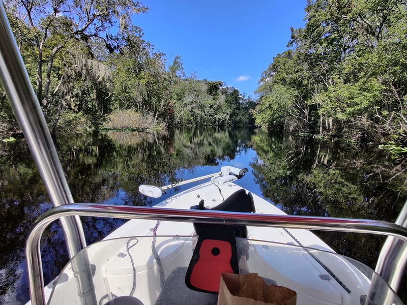
The easiest way to miss the history is to hurry straight to the boat ramp. A little preparation can turn an ordinary outing into a visit that includes both the present landscape and the people who knew it before. Start by looking up an older map and a short account of the canal project.
At the water, pause before unpacking your gear. Notice the broad surface, the visible timber, and the places where roads or paths meet the shore. Ask yourself which features are natural and which appeared because people changed the river.
Keep the outing practical and safe. Check access details and current conditions, bring water, and use a life jacket if you go afloat. Watch for submerged wood and give wildlife plenty of space. Do not collect objects that might be historic or disturb shoreline areas to look for them.
A phone photograph can become a useful learning tool later. Compare it with a historical image or map, then write down one thing that surprised you. Share sources along with the story when telling friends what you found.
Most of all, leave room for uncertainty. The reservoir’s visible beauty is real, and so is the earlier community’s importance. Respecting both makes a visit richer than a simple stop beside a quiet lake.