
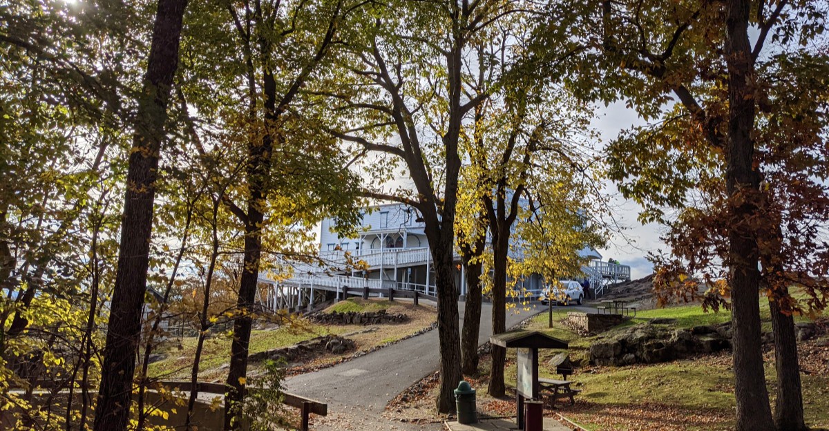
Ripe cranberries have tiny pockets of air inside them. That is why growers can flood a bog in autumn and watch a crimson carpet of berries float to the top.
I love that a Thanksgiving side dish starts out acting like a pool toy. In Massachusetts, those flooded bogs sit right beside roads you can drive.
Some harvest seasons stretch toward November, so late color still has a chance.
The leaves are a different story by now. Maples have mostly let go, but oaks hang on in rusty browns and deep bronze.
Salt marshes turn gold, and stone walls finally show up through the bare woods.
I think this quieter season gets overlooked. The crowds thin out, the light gets low and golden, and the roads feel like yours again.
So fill the tank, grab a thermos, and go chase the final chapter of autumn before the snow shows up.
1. Old King’s Highway
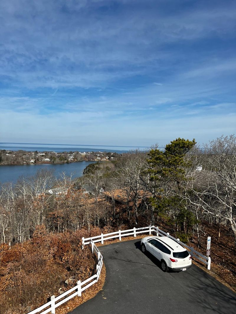
Few roads get to call themselves a historic district, but this stretch of Route 6A does. It winds along the bay side of Cape Cod past old sea captains’ homes and village greens.
Start in Sandwich, where the Sandwich Glass Museum offers live glassblowing demonstrations. Just know it closes on Thanksgiving Day itself, so plan your stop for the weekend.
Up the road in Yarmouth Port, Taylor-Bray Farm opens daily from dawn to dusk with free admission. You can say hello to goats, sheep, and donkeys, then follow a boardwalk toward Black Flats Marsh.
Dennis brings the big view. Scargo Tower, a stone observatory rebuilt in 1901, looks out over Scargo Lake and the surrounding Cape.
Brewster wraps things up with a sweet stop. The Brewster Store has operated since 1866 and still sells penny candy, jams, books, and oil lamps.
Nearby, Nickerson State Park covers about 1,900 acres of pine forest and kettle ponds. Its bike path links to the Cape Cod Rail Trail, if your legs need a break from the gas pedal.
Address: The Brewster Store, 1935 Main St, Brewster, MA 02631
2. Route 133 Country Drive
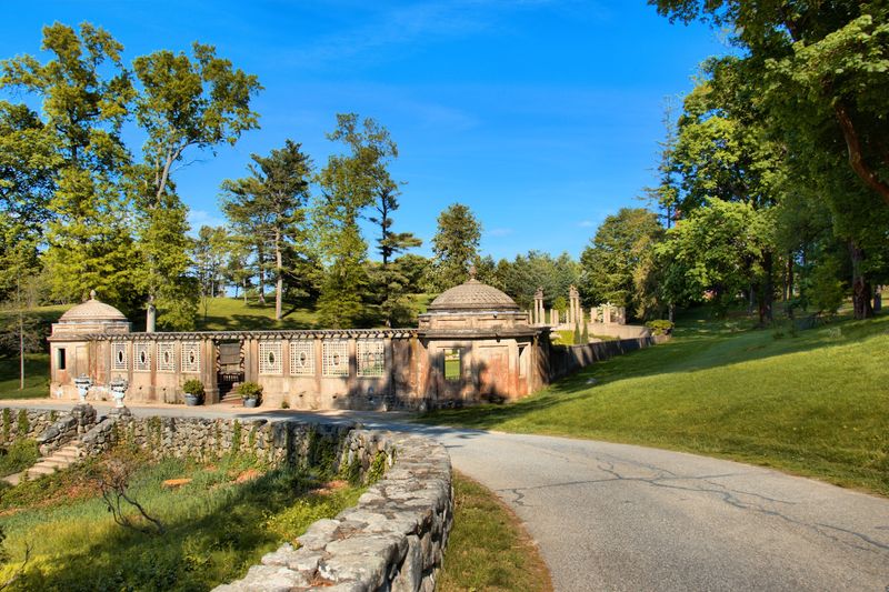
Salt marsh turns the color of buttered toast in late fall, and Route 133 serves up plenty of it. The road rolls through Essex County farm country between the coast and the inland towns.
Ipswich makes a fine anchor for the trip. The town is famous for its huge collection of First Period homes, built before about 1725.
Downtown, look for the Hall-Haskell House on South Main Street. The old building now serves as the town visitor center, so it’s a handy place to grab a map in season.
From there, head west toward Rowley and Georgetown. The scenery shifts from marsh to farm fields, stone walls, and quiet woods with oak leaves hanging on.
Bare branches actually help on this route. You’ll spot barns, ponds, and old cellar holes that summer leaves usually hide.
Bring a jacket, because marsh wind can bite in November. A sunny afternoon drive will reward you with long shadows across the grasses, which beats raking your own yard any day.
Address: Hall-Haskell House, 36 South Main St, Ipswich, MA 01938
3. Essex Coastal Scenic Byway
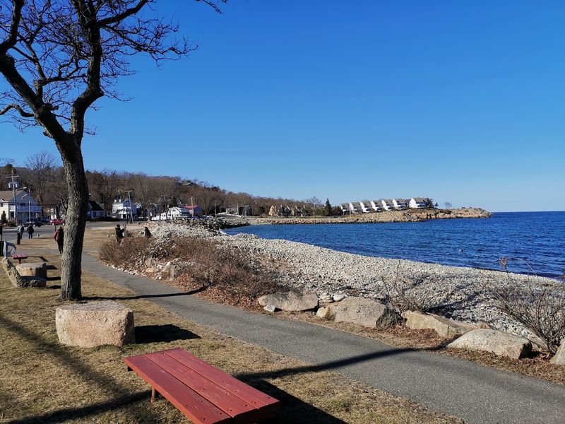
Ninety miles of shoreline villages, fishing harbors, and granite cliffs make up this official Massachusetts byway. Think of it as the North Shore’s greatest hits album.
The route links towns like Lynn, Salem, Beverly, Manchester-by-the-Sea, Gloucester, and Rockport. You can do one chunk or make a full day of it.
Salem gets mobbed in October, so late November is a smart time to visit. The streets calm down, and the historic waterfront feels much easier to explore.
Gloucester brings the working harbor energy. Fishing boats, gulls, and salty air remind you this coast still earns its living from the sea.
Save your best walk for Rockport. Halibut Point State Park sits on a dramatic stretch of granite coast with an old water-filled quarry.
On a clear day, the park’s views can stretch far up the coast. Late fall grasses turn golden around the rocks, which makes for photos your friends will assume you filtered.
Address: Halibut Point State Park, 4 Gott Ave, Rockport, MA 01966
4. Route 127 Coastal Drive
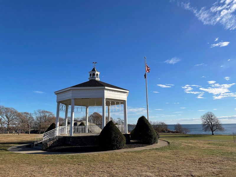
Want ocean views without committing to a long trip? Route 127 hugs the coast from Beverly to Rockport in a loop that feels much longer than its mileage.
Manchester-by-the-Sea shows up first with its tidy harbor and stately old homes. The road curves through woods and past glimpses of the water.
Gloucester is the star here. Stage Fort Park offers rocky outcrops, grassy lawns, and wide views of the harbor.
The park also marks an early chapter in local history. Settlers from England set up a fishing station in this area in 1623.
Keep going toward Rockport as the road loops around Cape Ann. Bare November trees open up ocean views that leafy summer branches tend to block.
Plan around sunset if you can. The low autumn sun lights up the granite and water in shades of gold and pink, and you’ll want a pull-off ready.
Address: Stage Fort Park, 24 Hough Ave, Gloucester, MA 01930
5. Route 58 Cranberry Bog Drive
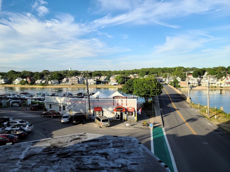
Here’s a road trip that ends up on your dinner plate. Route 58 cuts through the heart of southeastern Massachusetts cranberry country.
The drive runs through Halifax, North Carver, and down toward Wareham. Bogs, pine woods, and sandy soils line much of the way.
Cranberries grow on low vines in beds of sand and peat. At harvest, many growers flood the bogs so the berries float to the surface.
Harvest often runs from about mid-September into November. Timing changes from year to year, so a floating red bog near Thanksgiving is a lucky bonus.
Even after harvest, the bogs look striking. The vines turn a deep reddish-purple in late fall, which pairs nicely with the pines.
Near the southern end, A.D. Makepeace Company in Wareham is one of the biggest cranberry growers around.
Respect private property, and enjoy the views from public roads unless an event invites you in.
Address: A.D. Makepeace Company, 158 Tihonet Rd, Wareham, MA 02571
6. Route 3A South Shore Drive
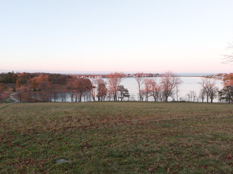
Hills with a view of the Boston skyline are not what most folks expect on a South Shore drive. World’s End in Hingham delivers exactly that.
Route 3A connects Hingham, Cohasset, Scituate, and Duxbury. It skips the highway and sticks closer to the harbors and village centers.
World’s End belongs to The Trustees. Its carriage paths were laid out with help from Frederick Law Olmsted’s firm, and they loop over grassy drumlins by the water.
Cohasset comes next with its classic town common. The shoreline nearby is famously rocky, so the waves put on a show on breezy days.
In Scituate, swing out to Scituate Lighthouse on Cedar Point. It dates to 1811, and the harbor views are worth the short detour.
Finish in Duxbury, home to the long wooden Powder Point Bridge. A sunset stroll across it makes a fine way to burn off a slice of pie early.
Address: World’s End, 250 Martins Ln, Hingham, MA 02043
7. Westport Coastal Drive
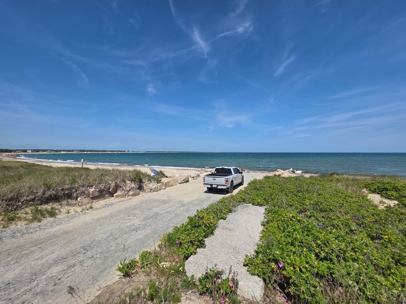
Farm fields that roll right up to the ocean? Westport pulls off that trick better than almost anywhere along the coast.
Routes 177 and 88 carry you through this corner of the South Coast. Expect stone walls, open pastures, and old farmhouses along the way.
Route 88 heads south toward the water and ends near Horseneck Beach State Reservation. The beach stretches along Buzzards Bay with dunes and salt marsh behind it.
Late fall is quiet season here. Summer crowds are long gone, and the beach becomes a peaceful place for a brisk walk.
Keep an eye on the sky over the marshes. The area draws birds, and November light makes the golden grasses glow.
Westport also has a strong farming tradition, with farm stands scattered around town. Hours shift in the off-season, so check ahead before you count on that pie pickup.
Address: Horseneck Beach State Reservation, 5 John Reed Rd, Westport, MA 02790
8. Quabbin Reservoir Backroads
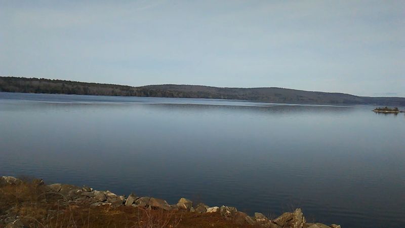
Four whole towns sit underneath the Quabbin Reservoir. Dana, Enfield, Greenwich, and Prescott were cleared in the 1930s so the valley could be flooded for Boston’s water supply.
That history gives these backroads a thoughtful mood. Petersham, Hardwick, and Barre surround the reservoir’s eastern side with forest and farmland.
In Petersham, stop by the Fisher Museum at Harvard Forest. Its famous dioramas show how New England’s land changed from farms back to forest.
From there, the woods feel like a living lesson. Old stone walls run through trees that took over former pastures.
Near Petersham, Gate 40 leads to a walk toward the old Dana Common site. Cellar holes and markers remain where a village once stood.
Oaks often hold their leaves deep into November around here. Their coppery color fits the quiet perfectly, so slow down and let the place tell its story.
Address: Fisher Museum at Harvard Forest, 324 N Main St, Petersham, MA 01366
9. Route 112 Countryside Drive
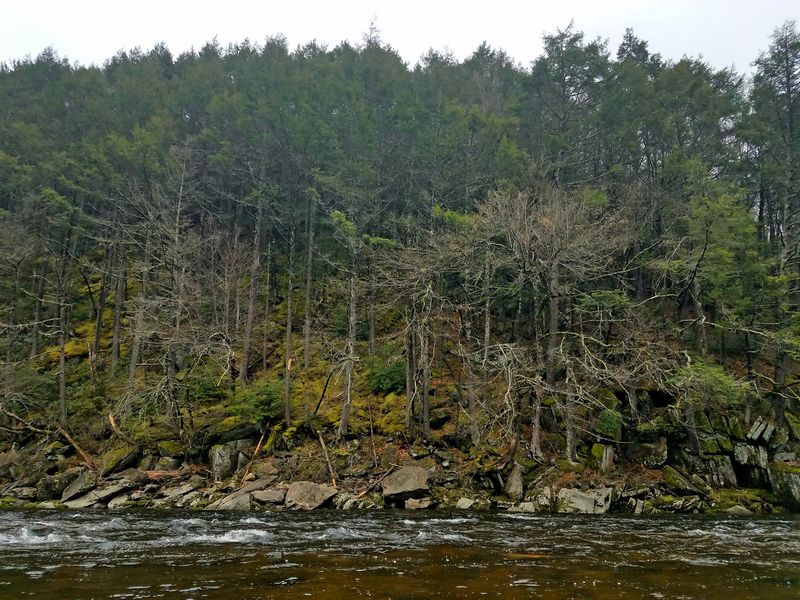
Hill towns don’t get much more classic than the stretch along Route 112. The road climbs from Huntington into the high country of Worthington, Chesterfield, and Ashfield.
Near Huntington, the route follows the Westfield River for a while. The water tumbles over rocks, and it gets louder after a November rain.
Worthington feels like a postcard of rural Massachusetts. Farms, sugarhouses, and wide hillside views show up as the elevation rises.
Take a side trip to Chesterfield Gorge, owned by The Trustees. The Westfield River squeezes between steep granite walls in a short, easy walk.
Up in Ashfield, the scenery opens into rolling fields and small-town charm. Bare trees let you see the shape of the hills, ridge after ridge.
Watch your fuel gauge, since gas stations are spread thin up here. A full tank and a few snacks will keep the adventure fun instead of nerve-racking.
Address: Chesterfield Gorge, River Rd, West Chesterfield, MA 01084
10. Connecticut River Byway
New England’s longest river gets a scenic byway all its own in western Massachusetts. Routes 63 and 47 trace the Connecticut River through farm towns and college country.
Up north, Northfield and Montague offer quiet river views. Fields stretch flat and wide, which is rare in this hilly state.
Sunderland and Hadley bring rich farmland famous for its soil. Late fall fields may look bare, but the views to the hills are wide open.
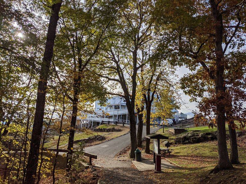
For the best overlook, head to Skinner State Park on Route 47 in Hadley. The historic Summit House sits atop Mount Holyoke with sweeping views of the river valley.
The summit road typically closes for the season, so you may need to hike up. Your reward is that famous oxbow bend of the river spread out below.
Northampton and Holyoke round out the drive with lively downtowns. Grab a snack, toast the end of fall, and start dreaming about next October.
Address: Skinner State Park, 10 Skinner State Park Rd, Hadley, MA 01035