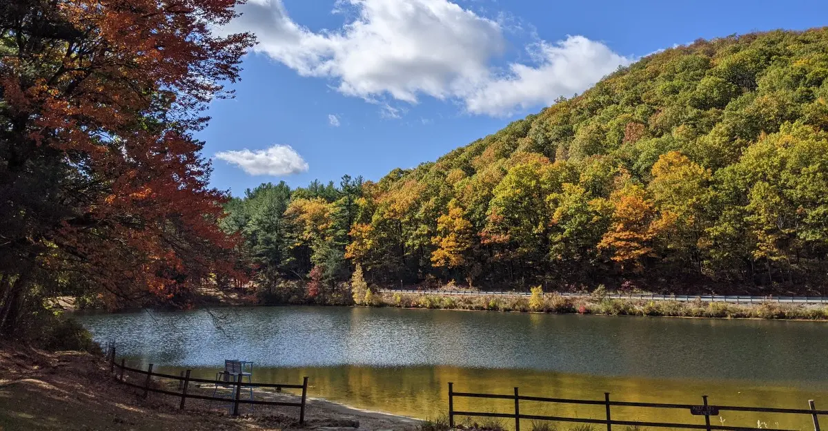
Wet leaves crunch beneath your boots as red maples flare against dark evergreens, and suddenly the forest feels quieter than the world you left behind. In Massachusetts, fall brings that unmistakable New England mix of color, cool air, rocky terrain, and peaceful woodland paths.
The best Massachusetts forest trails make it easy to settle into the season at your own pace. Some wind beside still ponds and through golden birch stands, while others climb rocky hills where the changing foliage opens into broader views.
Along the way, you may find old stone walls, mossy ground, and stretches of forest where the only sounds are footsteps and rustling leaves.
If you’re ready to experience that classic autumn landscape on foot, these 10 Massachusetts forest trails offer plenty of reasons to lace up your boots and slow down.
Walk Beneath Towering Pines at Mohawk Trail State Forest
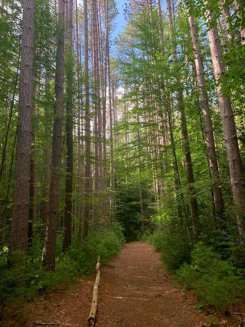
A carpet of fallen leaves can make even your footsteps sound softer beneath towering pines. At Mohawk Trail State Forest in Charlemont, the mix of tall evergreens and changing hardwoods gives autumn a quieter, older feeling.
Start with the Nature Trail Loop at the Upper Meadow for a focused woodland outing. The forest covers more than 6,000 acres, but you do not need a long hike to notice its rich mix of trees, mountain slopes, and shaded ground.
Pause where sunlight reaches between the trunks and lights up yellow leaves against dark needles. For a longer adventure, consult the official trail map for the Indian Trail and its connection with the Mahican-Mohawk Trail, rather than assuming every marked path makes a loop.
Wear shoes with good grip, since wet leaves can hide roots and stones. Bring a downloaded map, check current access information, and leave enough daylight for the return walk.
The reward is not a single dramatic overlook, but the steady pleasure of being surrounded by woods that feel much larger than your afternoon plans, without needing to rush through them.
Chase Hilltop Color on Savoy Mountain’s Busby Trail
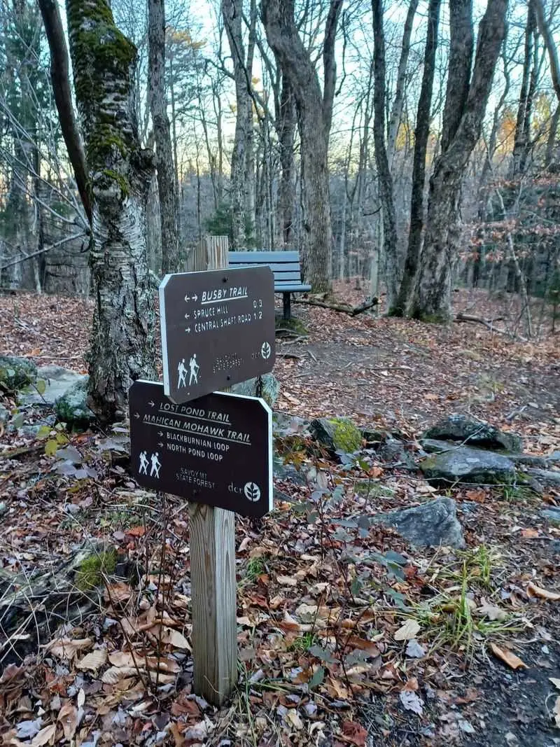
The climb feels different once the trees begin to thin and more sky appears overhead. Along the Busby Trail to Spruce Hill, that small change builds anticipation before the wider Berkshire landscape comes into view.
Savoy Mountain State Forest, reached through Florida, Massachusetts, has more than 50 miles of wooded trails. Choose this uphill route when you want your fall walk to include some effort, with hardwood color along the way and a view worth stopping for.
Take breaks before you feel tired, especially if damp leaves cover the rocky footing. At the hilltop, pull on a warm layer before settling down with water and a snack; exposed spots can feel much colder than the sheltered trail below.
If a pond sounds better than a climb, check the map for the Haskins Trail toward Bog Pond instead. Either choice deserves a little planning, including a weather check and a clear turnaround time.
Up here, autumn can feel sharper and arrive earlier than in lower parts of the state, so judge the season by current conditions rather than a fixed calendar date alone.
Follow the Reflections Around Benedict Pond
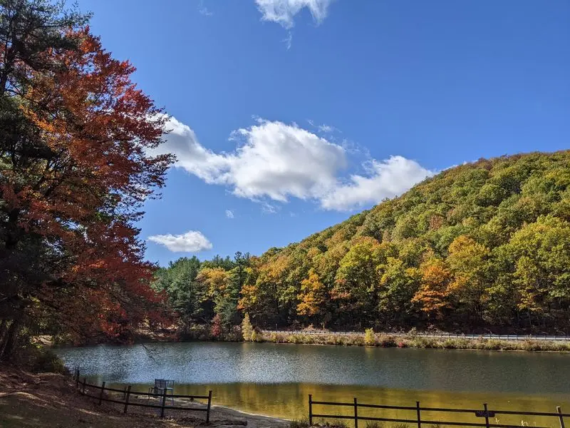
A still pond gives fall color a second place to shine. Yellow leaves hang above the water, while their reflections stretch below, turning a simple shoreline stop into the kind of scene you remember all winter.
At Beartown State Forest in Monterey, the 1.5-mile Benedict Pond Loop keeps the water close throughout much of the walk. Beech, birch, maple, hemlock, and white pine create a varied backdrop, with evergreen branches breaking up the warmer autumn colors.
Rather than treating the loop as something to finish quickly, allow time for small discoveries. Watch a floating leaf drift toward shore, look for changing reflections as clouds move, and notice how different trees drop their leaves at different times.
Sturdy footwear still matters on this relatively short outing because roots and wet ground can interrupt an easy rhythm. Carry drinking water and check the current park information before leaving home.
Families can make the walk more interesting by looking for several leaf shapes without picking living branches. A quiet weekday visit may leave more room to linger beside the pond and listen to the woods.
Let the Pace Settle on Pittsfield’s Tranquility Trail
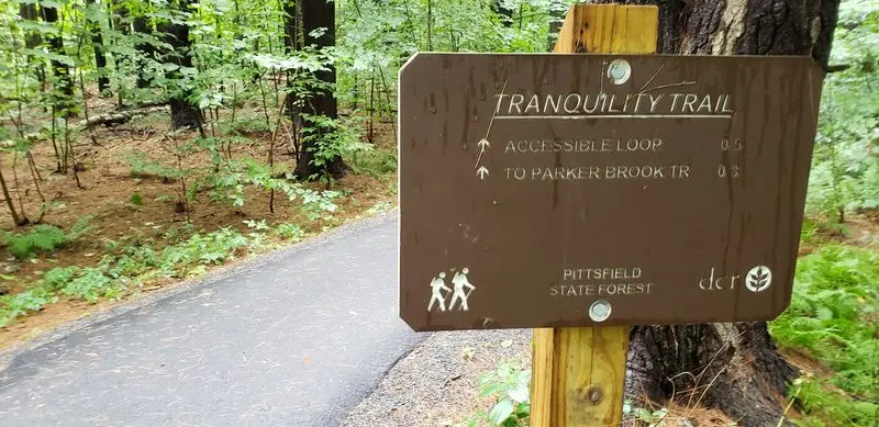
Not every fall outing needs a steep climb or an ambitious mileage goal. Sometimes the best afternoon begins with an easy pace, a little sunlight through the branches, and enough breathing room to notice what is around you.
Pittsfield State Forest offers that option on the 0.75-mile Tranquility Trail, an accessible route through the woods. Its short length makes it a useful choice when your group has different energy levels or you simply want time outside without a mountain commitment.
Look closely at the forest floor as well as the canopy. Fallen leaves, pine needles, and small patches of moss bring texture to the scene, especially when the brighter overhead colors have started to fade.
Check current surface conditions if accessibility is essential, since weather and fallen debris can affect any outdoor path. Hikers seeking a longer, harder outing can research the Taconic Crest Trail separately, rather than expecting ridge views from Tranquility Trail.
With about 30 miles of trails across the forest, choosing the right route matters more than choosing the longest one. Give yourself permission to keep the day simple.
Earn a Wide Autumn View Near Alander Mountain
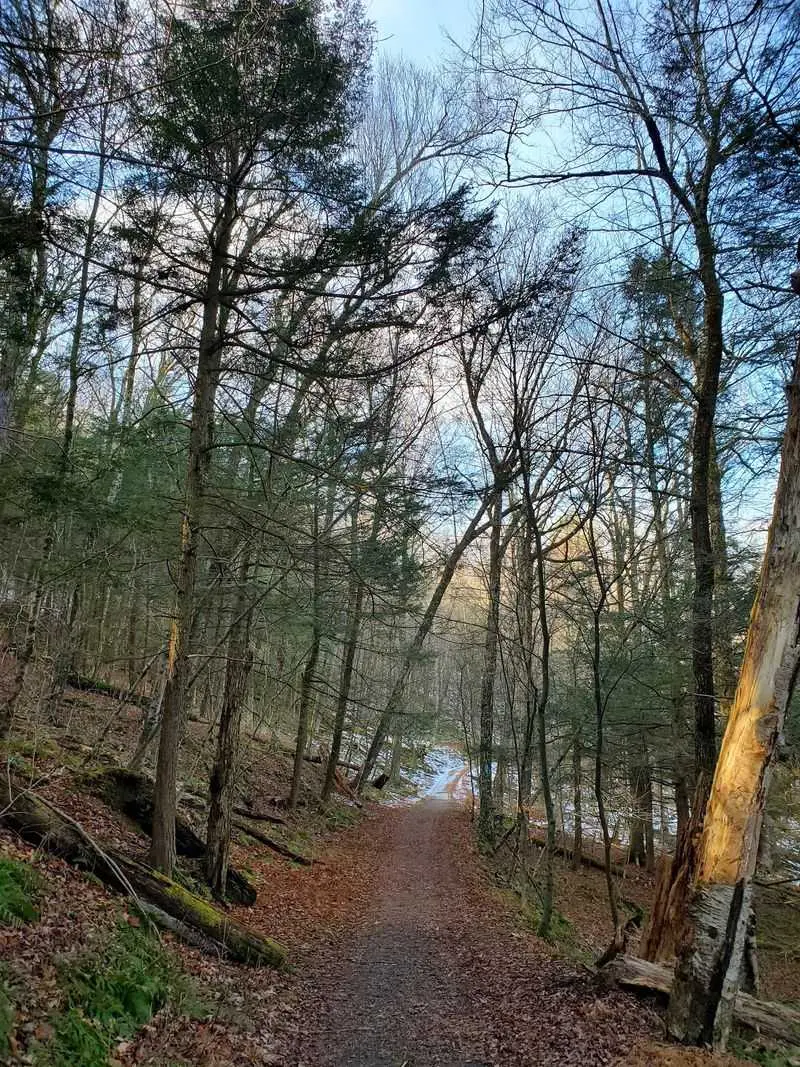
Your legs may notice the climb before your eyes catch the view. That is part of the appeal here: the woods ask for some effort, then open into a landscape that makes a longer pause feel well earned.
Mount Washington State Forest protects a rugged corner of southwestern Massachusetts, with red oak and other northern hardwoods across its slopes. Alander Mountain reaches 2,250 feet, and routes involving the South Taconic Trail offer possibilities for hikers comfortable with steeper terrain.
Study the official map before choosing your approach, since trail connections and starting points change the distance considerably. Do not assume a route labeled toward Alander is a short summit walk, and carry enough water and food for your actual plan.
On the higher ground, wind can quickly steal the warmth you built while climbing. Pack a jacket, keep away from exposed edges, and turn back if weather or daylight becomes a concern.
The finest part may be the contrast between close woodland details and the broad sweep of hills beyond them, a reminder that fall works on both small and enormous scales.
Find Greylock’s Quieter Side on Bradley Farm Loop
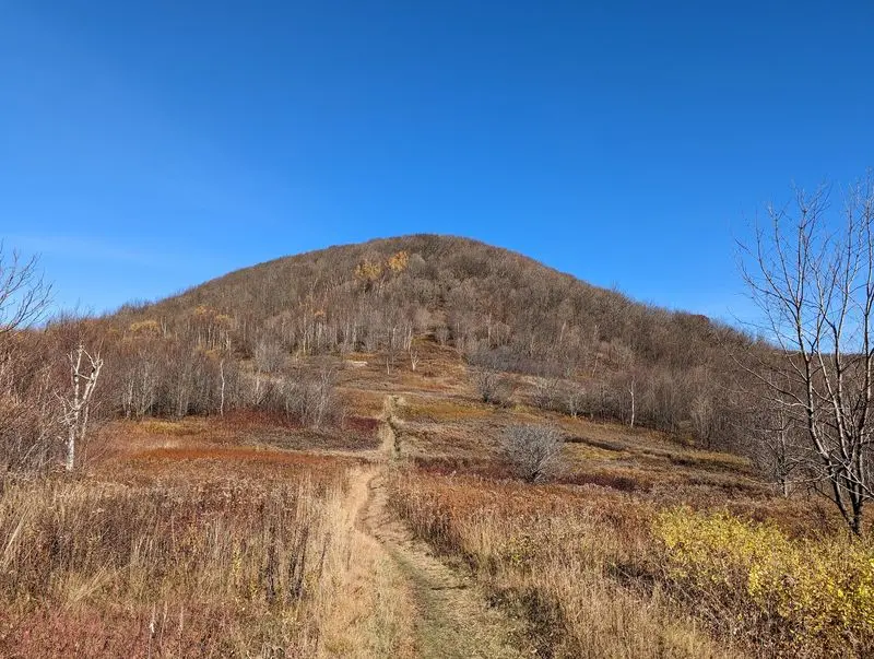
A famous mountain can make a modest walk seem easy to overlook. Yet the lower woods often hold the details that disappear from a summit photograph: curled leaves, rough bark, and sunlight moving slowly across the trail.
The 1.8-mile Bradley Farm Loop at Mount Greylock State Reservation offers a woodland outing without requiring a hike to Massachusetts’ highest point. Access information is available through the reservation’s visitor services in Lanesborough, making this a sensible place to begin planning.
Greylock’s summit stands at 3,491 feet, but this loop is not a summit route. Enjoy it for its own forest setting, and treat any separate trip to the mountaintop as another activity with its own weather, access, and timing checks.
Wear supportive shoes and bring an extra layer, even when the day starts pleasantly warm. If you want a bigger hike, compare routes carefully because the reservation’s trail network ranges from easier walks to very demanding climbs.
A shorter choice can leave room for unhurried stops, which is often how the best autumn memories happen: not at the highest point, but somewhere along the way.
Read the Wetland Landscape at October Mountain
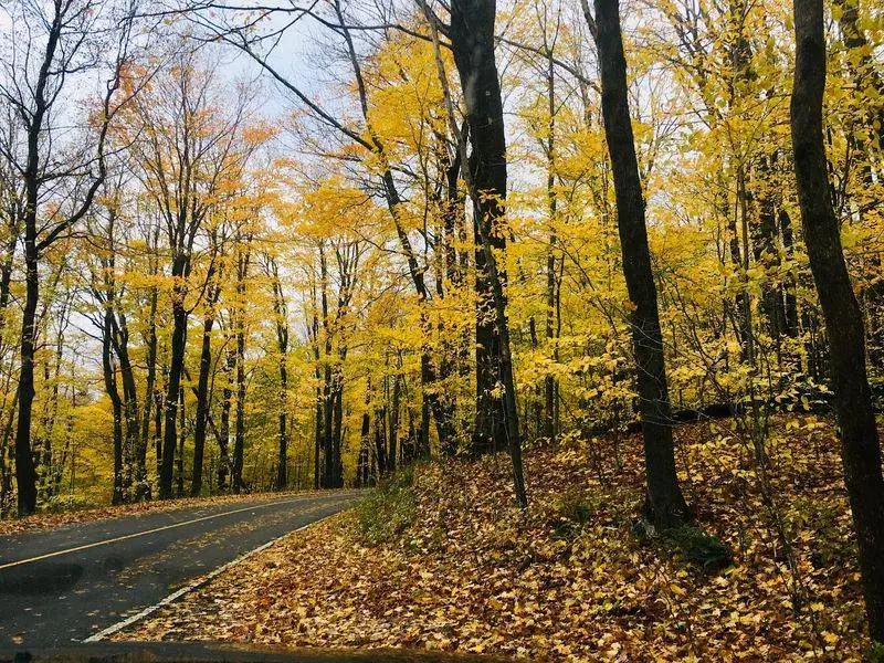
The forest changes character when trees give way to wetland grasses and a wider patch of sky. Suddenly, autumn is not only overhead; it spreads low across the ground in shades of straw, copper, and faded green.
That shift makes the Washington Mountain Marsh Interpretive Trail an appealing choice within October Mountain State Forest. The forest’s main visitor address is in Lee, but your chosen trailhead may require a different approach, so check directions rather than relying on the headquarters location.
At roughly 16,500 acres, this is Massachusetts’ largest state forest, with far more ground than one afternoon can cover. Let the interpretive route provide a manageable focus, and take time to notice the meeting place between woodland and marsh.
Bring a downloaded map and confirm road conditions before setting out, especially after heavy rain. Waterproof footwear can help on damp stretches, although staying on the marked trail remains the best way to protect wet ground.
The Gorge Trail offers another experience to research for a future visit. For now, the marsh adds a different autumn story, one told through open space and texture.
Watch Salem Pond Ripple Along the Yellow Diamond Trail

One breeze can rearrange an entire pond reflection. A clear line of orange trees becomes a loose shimmer, then settles again, giving anyone beside the water a reason to stop for another minute.
The Yellow Diamond Trail at Harold Parker State Forest loops through mixed woodland around Salem Pond. Spread across the North Andover and Andover area, the forest contains 11 ponds and about 35 miles of trails, but this route gives your visit a clear center.
Follow the yellow diamond markers carefully and keep a map handy at junctions. A large trail network can be confusing when leaf cover softens the path, and nearby routes are not always obvious shortcuts back to your starting point.
Pack a small snack for a shoreline pause wherever access is allowed, taking every wrapper home. Expect roots, stones, and damp leaves rather than a perfectly smooth walking surface.
Morning light can bring lovely reflections, but an ordinary cloudy afternoon has its own appeal, with softer colors and fewer bright patches on the water. The pleasure comes from watching a familiar scene change while you stand still.
Pick a Rocky Stretch of the Midstate Trail
Leaves can make a rocky trail look softer than it really is. Beneath that bright autumn covering, roots and uneven stones keep the walk interesting, asking you to pay attention to each step instead of only the canopy.
Leominster State Forest, with visitor access in Westminster, brings that inland New England character to a section of the Midstate Trail. The full trail runs about 95 miles, but only a portion passes through the forest’s western edge.
Choose a specific out-and-back section using the official map, and decide your turnaround point before setting off. A long-distance trail does not automatically provide a convenient loop, and returning the same way can be the simplest plan for a first visit.
Shoes with good tread are useful here, especially after rain makes rocks slick. Trekking poles may help with balance, while a short break lets you look up safely and appreciate the changing woodland.
The forest also has ponds and climbing areas, though not every feature lies along your chosen route. Keep expectations focused on the walk itself: textured ground, varied trees, and a pleasantly absorbing challenge.
Make an Afternoon of Willard Brook’s Friends Trail
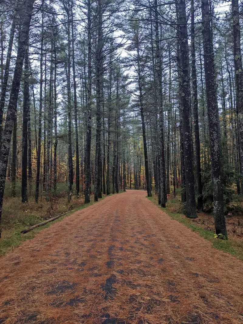
The sound of moving water gives a fall walk its own quiet soundtrack. Add leaves skittering across the path and a cool breeze through the branches, and there is little reason to hurry toward the next turn.
Willard Brook State Forest in West Townsend offers that wooded, rural atmosphere along its Friends Trail routes. A roughly four-mile recommended outing connects the forest with Pearl Hill State Park, creating enough distance to feel like a proper afternoon adventure.
Check the current trail map to distinguish the Friends’ Trail from the Friends’ Loop and confirm how your planned route connects them. Similar names can cause confusion, especially when you are trying to remember directions at an unfamiliar junction.
Bring lunch or a filling snack, water, and a layer you can put on during breaks. Brooks and ponds contribute to the forest’s character, but use the map to learn which water features your chosen route actually reaches.
After rain, muddy sections may slow your pace, so leave some extra time. The visit works best when you allow room for small pauses instead of chasing a finish time.