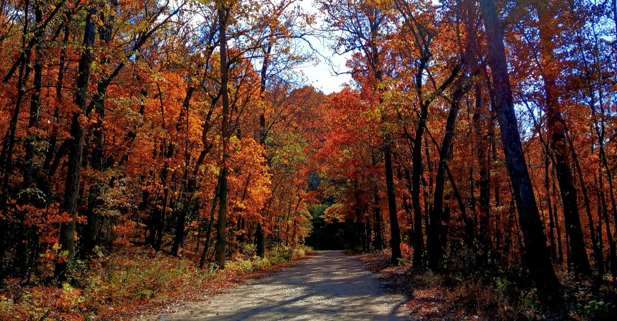
Missouri’s only National Forest Scenic Byway isn’t paved. It’s gravel, and it was built by Civilian Conservation Corps crews back in the 1930s.
That detail made me grin. The state’s most honored forest drive comes with crunching tires and a dust cloud trailing behind you.
Somewhere out there, a road sign is quietly bragging about it.
The Ozarks are full of routes like that. You’ll find a giant sunken valley, an old mill still standing by a river, and forest roads that climb to wide ridgetop views.
Cell bars come and go. Directions sound easy until you realize the turn is nine miles away.
I love that kind of drive. It asks you to slow down, pack snacks, and trust a paper map.
And when somebody out here says it’s just down the road, I’ve learned to fill the gas tank first.
1. Glade Top Trail
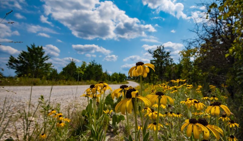
A gravel road holding a national title sounds like a joke, but nobody’s kidding here. Glade Top Trail is Missouri’s only National Forest Scenic Byway.
The route runs about 23 miles through the Mark Twain National Forest. Civilian Conservation Corps crews built it in the 1930s, and it still feels pleasantly old-school.
Open glades along the ridges give the drive its name. Those rocky, grassy openings let you see across rolling Ozark hills for miles.
On clear days, the view stretches toward Arkansas.
Spring brings blooming redbud, dogwood, and smoke tree. Fall turns the ridges red and gold, which explains why October draws so many leaf peepers.
The Flaming Fall Revue, a local festival, celebrates that autumn color each year. Check dates before you go, since a festival weekend changes the pace.
Take it slow and pull over at overlooks. You’ll want the time, and the gravel won’t reward speed anyway.
2. Sugar Camp Scenic Byway
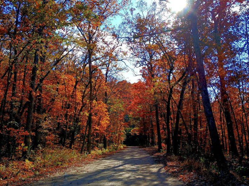
Short on miles, long on personality, this little ridge route earns its spot fast. Sugar Camp feels like the Ozarks letting you in on a secret.
The drive winds through the Cassville Ranger District of the Mark Twain National Forest. It sits in far southwest Missouri, not far from the Arkansas line.
Like several roads out this way, it carries Civilian Conservation Corps history. Those 1930s crews left their mark on trails, roads, and lookout sites across the forest.
Expect hardwood forest, ridge views, and plenty of reasons to roll down your window. Fall color is the headliner, but early spring green has its own charm.
Roaring River State Park sits close by, so you can pair the drive with a riverside stop. That makes it an easy half-day plan for families.
Gravel can wash out after heavy rain. Call the ranger district first if storms just rolled through, and your car will thank you.
3. Sunklands Conservation Area Backroads
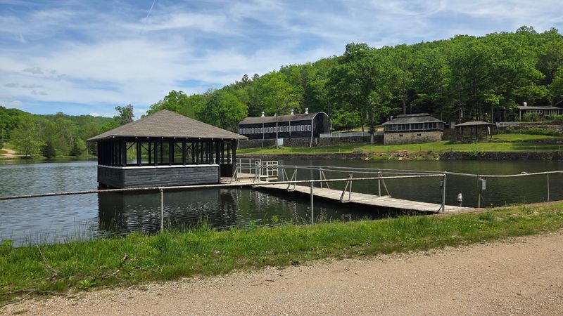
Missouri has plenty of sinkholes, but most don’t stretch close to a mile. The Sunklands is often called the largest sinkhole in the state.
It sits inside a conservation area managed by the Missouri Department of Conservation. Gravel roads carry you through quiet forest in Shannon County, near Summersville.
So how does a valley this big just sink? Over a very long time, water dissolved the rock below, and the ground above slumped down.
Part of the area holds natural area status. That means you’re looking at landscape protected for its plants, wildlife, and unusual geology.
The roads here are rural and lightly signed. Grab a conservation area map before you leave town, because guessing gets old quickly.
Bring binoculars and a picnic, then plan for no services. You won’t find a gas station waiting at the next bend, so fuel up early.
4. Blue Buck Knob Forest Road Excursion
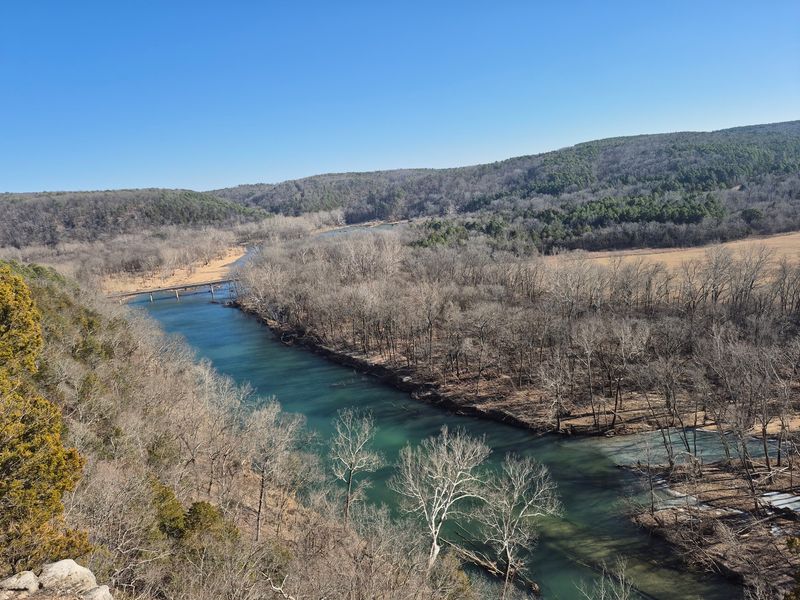
With a name like Blue Buck Knob, this drive sounds like the start of a campfire story. Happily, it’s just a great excuse to wander.
The knob rises in the Mark Twain National Forest south of Cabool. Gravel forest roads loop through the hills around it, mostly far from busy highways.
You’ll trade traffic for tall oaks and quiet hollows. Wildlife sightings are possible, so keep your speed down and eyes open.
Forest roads out here don’t always have clear signs. A printed national forest map, or a downloaded offline one, saves plenty of backtracking.
Picture-ready knobs and ridges come with winding grades. A vehicle with decent clearance makes life easier, especially after rain.
Treat it as an exploring day rather than a timed trip. Pack water, snacks, and patience, then let the road decide how long you’ll stay.
5. Dawt Mill Country Road Drive
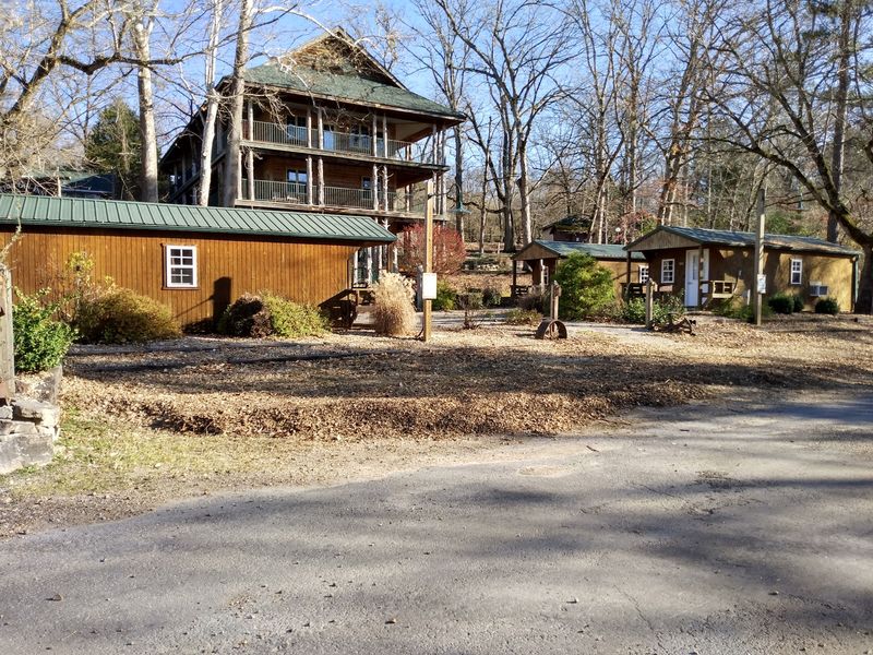
Some country roads end at a mailbox. This one ends at a mill that’s been standing since 1897.
Dawt Mill sits on the North Fork of the White River in Ozark County. The old gristmill has been restored and anchors a riverside resort today.
Getting there means rural roads through rolling farm and forest country. The drive from the Gainesville area feels like a slow slide back in time.
Once you arrive, the river steals the show. The North Fork is popular for floating and fishing, so warm months stay lively.
Walk around and check out the mill’s wooden frame against the water. It’s a fine spot for photos and a stretch before the drive home.
Check current hours for food or lodging before you go. Rural schedules can shift with the seasons, and a wasted trip stings.
6. Ozark National Scenic Riverways Backroads
Long before rivers got national park protection, the Current and Jacks Fork led the way. Ozark National Scenic Riverways became the first national park area protecting a river system, established in 1964.
Backroads around Eminence and Van Buren connect springs, mills, and river access points. Many stretches are gravel, and distances add up quickly.
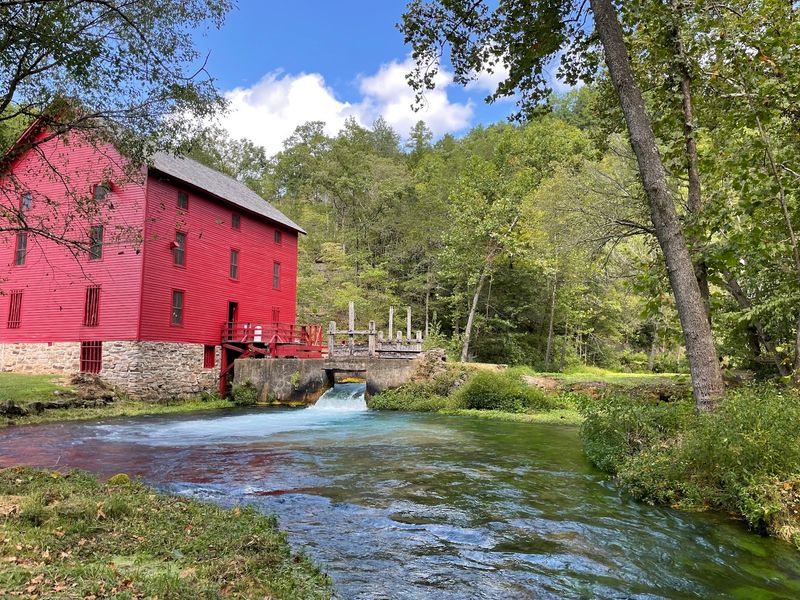
Near Eminence, the red Alley Mill sits beside a bright blue spring. Rocky Falls, another favorite stop, spills over pink-tinged volcanic rock.
Head toward Van Buren and Big Spring waits. It ranks among the largest springs in the country, pushing out a staggering amount of water.
Plan your route on a map rather than trusting phone signal. Service drops in the hollows, and Missouri hills love hiding road junctions.
Summer brings floaters, so weekdays feel calmer. Spring and fall offer cooler driving weather and fewer canoes on top of cars.
7. Mark Twain National Forest’s Forest Road 197
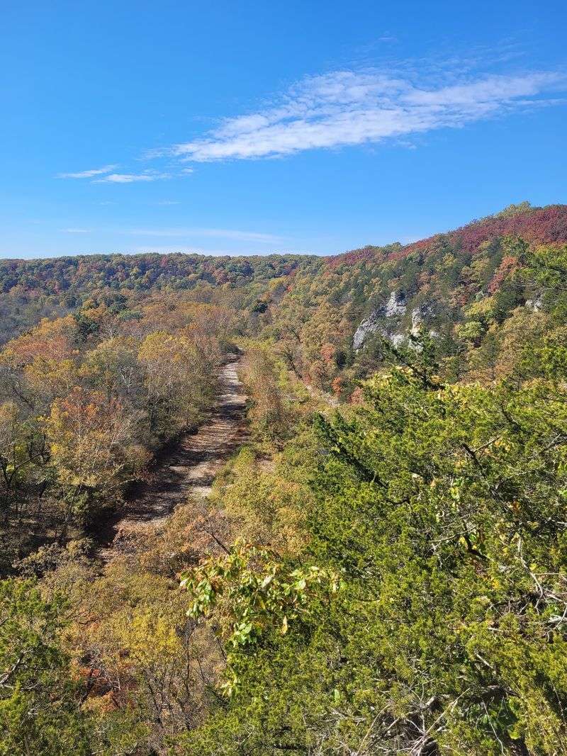
Forest roads usually get numbers instead of names, which makes them sound boring. Don’t be fooled by the paperwork on this one.
Forest Road 197 runs through the Cassville Ranger District near Eagle Rock. It’s part of the gravel network that carries the Sugar Camp drive.
Eagle Rock sits close to Table Rock Lake and the Arkansas border. That means you can spend the morning on gravel and the afternoon near water.
The road rolls through oak and hickory woods with occasional long views. Autumn is prime time, though spring dogwoods make a strong case too.
Gravel kicks up dust in dry weather, so keep a safe gap behind other cars. Watch for logging trucks and forest service vehicles on narrow stretches.
Treat this as the bonus round on a southwest Missouri road trip. One gravel number on a map can turn into a surprisingly happy afternoon.