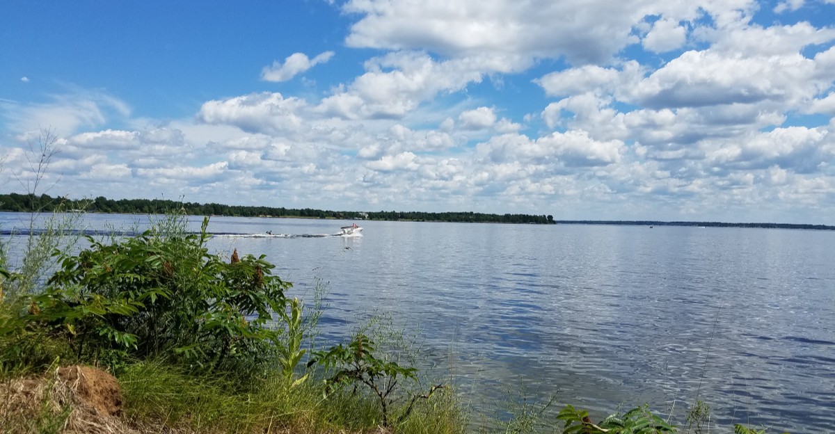
A quiet day at Petenwell Lake can make it hard to imagine a river valley beneath the water, but this wide stretch of Wisconsin did not always look the way it does now.
When a dam held back the Wisconsin River, water spread across land where people had once lived, traveled, and worked, changing the area for good.
Stories about towns beneath the lake can make it sound as if whole streets are still waiting underwater, yet the real history calls for a closer look at what was flooded and what remains known.
From the dam and the former riverbanks to fishing spots and campgrounds today, the lake offers a chance to think about both sides of that change: the new place people enjoy and the older landscape that was lost.
Knowing the difference between a dramatic story and a documented fact makes a visit more interesting, and it helps keep the memories of the people who lived here from turning into a simple mystery tale.
The river valley before the lake
Picture a winding river instead of the broad water you see today. Before Petenwell Lake existed, the Wisconsin River ran through a valley with banks, trees, roads, and places where people worked. A reservoir changes that whole scene, not just the river channel.
As water rises, it covers low ground and turns former edges of the valley into shoreline. Looking across the lake now, you cannot easily tell which parts were once dry. That makes old maps especially useful: they can show the river’s earlier path and help you compare it with the present lake.
Keep one detail in mind when you hear about towns beneath Petenwell Lake. Flooded land does not automatically mean that entire town centers remain intact on the bottom. Buildings might have been moved, taken apart, or removed before the water rose.
If you want to explore the story, begin with maps and local historical records rather than a dramatic picture online. Look for dated evidence of roads, property, and settlements, then compare it with the shoreline you can visit. The result is more interesting than a simple lost-town tale: it shows how a familiar landscape can change within a lifetime.
A dam reshaped the Wisconsin River
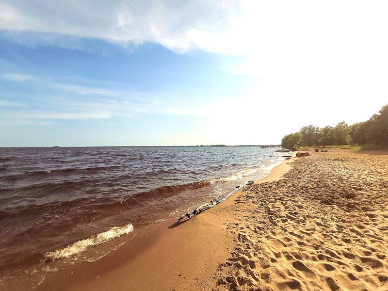
One structure explains why the valley became a lake: Petenwell Dam. Built across the Wisconsin River, the dam holds back water upstream and helps generate electricity. The water behind it is Petenwell Lake, also called Petenwell Flowage.
A flowage is a body of water created when a river is held back. That word offers a clue about the lake’s history, even when its broad surface looks natural. Petenwell is one of the largest inland lakes in Wisconsin, so the change to the landscape was far from small.
The dam also means water levels and conditions deserve respect. A shoreline that looks familiar on one visit may look different when the water changes. Never enter restricted areas near a dam, and follow posted signs when boating or fishing nearby.
For a useful history project, find a dated map from before construction and one from afterward. Trace the river on both, then notice where the new water spreads beyond its former banks. You will see why the story reaches past a single building or road. Petenwell Lake is a reminder that making electricity and creating recreation space can also transform places that people once knew by heart.
What does a vanished town mean?
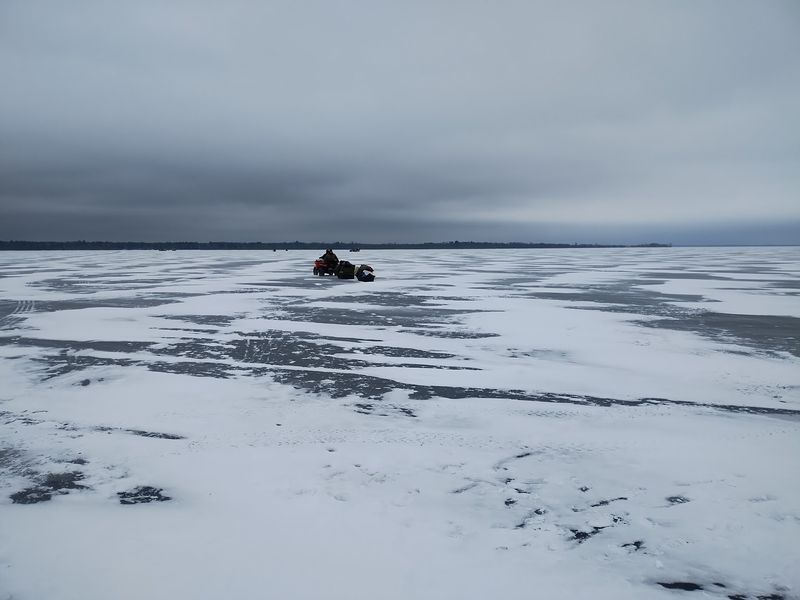
Lost-town stories sound like scenes from an adventure movie. Real history often needs a little more care. People may use the word town for a small settlement, a nearby community, or a place named on an old map, and those meanings are not always the same.
When land was prepared for a reservoir, some structures could be removed or moved before flooding. A former community’s name might survive in records even if its buildings did not stay underwater. That is why it is wise to check each claim about Petenwell Lake separately, especially a claim that a complete town still sits on the lakebed.
Try asking three questions as you read. Where exactly was the place, when was it there, and what source shows what happened to it? A dated county map or newspaper account can answer more than an unsourced photo caption.
There is no need to make the story less meaningful by being careful. Losing familiar land can matter deeply even when no church steeple sticks out of the water. Old routes, homesites, and gathering places were part of people’s everyday lives. Treating their history accurately gives those lives more respect than repeating a rumor ever could.
Old maps hold the best clues
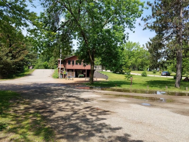
A bend in the river can be a better clue than a ghost story. On an older map, follow the Wisconsin River through the area that Petenwell Lake now covers. Then find the same area on a modern map and watch the narrow route open into wide water.
For a closer look, search historical county atlases, survey maps, and aerial photographs from before and after the reservoir was created. Check the date on every image. Two maps made years apart may show different roads or buildings even before flooding changed the valley.
Place names need careful reading, too. A label may point to a township or a broad area rather than a cluster of houses at that exact spot. If you find a name, look for another record before deciding that you have found a submerged town.
You can make the comparison easier with a simple notebook sketch. Mark a river bend, a road crossing, and a nearby piece of high ground on each map. Do not use the sketch to navigate the lake; use a current chart and official guidance for that. As a history tool, though, it can reveal how much the shape of Petenwell changed.
The shoreline tells another story
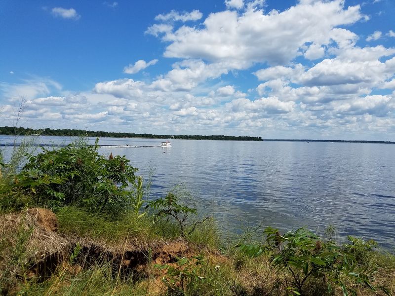
Stand near the shore, and the past may seem completely out of sight. The banks you see today border the reservoir, not the river as it once flowed through the valley. That difference is easy to miss on a sunny afternoon.
Shorelines can offer hints about the change, but they are not a reliable place to hunt for artifacts. Water levels shift, waves move loose material, and objects near the edge can come from many different times. A piece of wood on a beach is not proof of a flooded house.
Give the lake room when you explore. Use public access points, stay off private property, and keep your distance from unstable banks. Leave anything that may have historic value where you found it, then ask a local historical organization how to report the location.
For families, a shoreline walk can become a simple observation game. Notice where the ground rises, where the water meets trees, and how far you can see across the lake. Imagine drawing the narrower river through that view, without pretending you know its exact course. The exercise helps explain why people remember a changed landscape long after its old shape disappears.
Fishing above a changed landscape
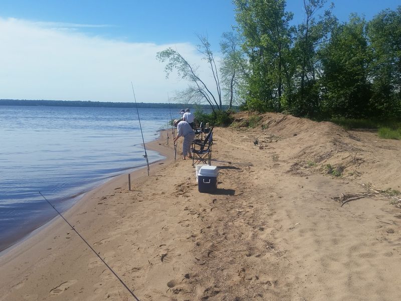
A fishing boat can pass over water that once covered no land at all. That is one reason Petenwell Lake feels different from a small natural pond. Its flooded valley and broad open areas give anglers a variety of places to explore.
Visitors report fishing for species such as walleye, catfish, and crappie, though catches vary. Some also mention that algae can affect a trip. Check current fishing rules, water conditions, and weather before you go rather than planning around an old review.
The lake’s history offers a useful way to read the water. A former river channel and changes in depth can affect where fish spend time, but spotting them takes current charts, local knowledge, and patience. Never assume that an old road or building lies beneath a promising fishing spot.
Safety matters as much as the catch. Wear a life jacket, carry a working way to call for help, and watch for wind across open water. If you are new to the lake, begin near an established launch and learn the rules for your boat. A good fishing day can be both fun and thoughtful when you remember how this wide lake came to be.
Camping beside the reservoir
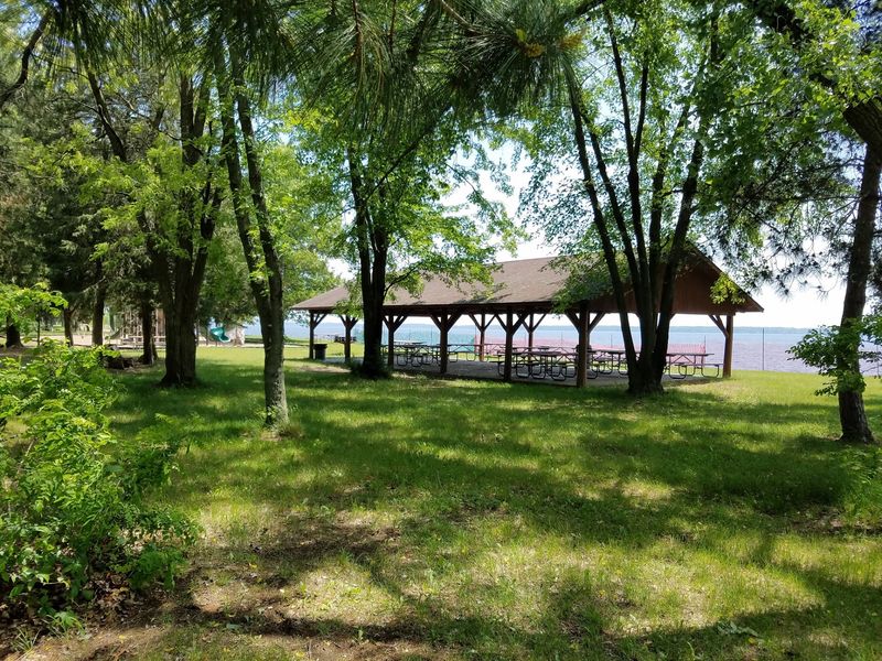
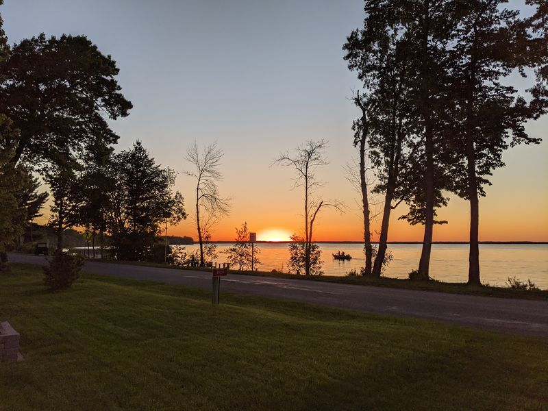
Campfire light makes it easy to enjoy the lake without thinking about the land below it. Today, people come to the Petenwell area to camp, watch sunsets, and spend time on the water. Those simple pleasures are part of the reservoir’s story, too.
A campsite can also be a good place to talk about how the landscape changed. Show younger visitors an old map beside a current one. Ask them to find the river first, then the wider outline of Petenwell Lake. It turns an evening outdoors into a small history lesson without making it feel like homework.
Plan ahead before arriving. Check campground rules, reservation details, fire restrictions, and boat access with the place where you intend to stay. Reviews describe quiet visits as well as busy boating days, so your experience may depend on the season and location.
At the end of the night, leave the site ready for the next visitor. Put out fires fully, pack away trash, and respect nearby campers. The lake is both a place for recreation and a changed river valley. Enjoying it responsibly is a practical way to care for the landscape people share today.
Keeping the lost landscape in memory
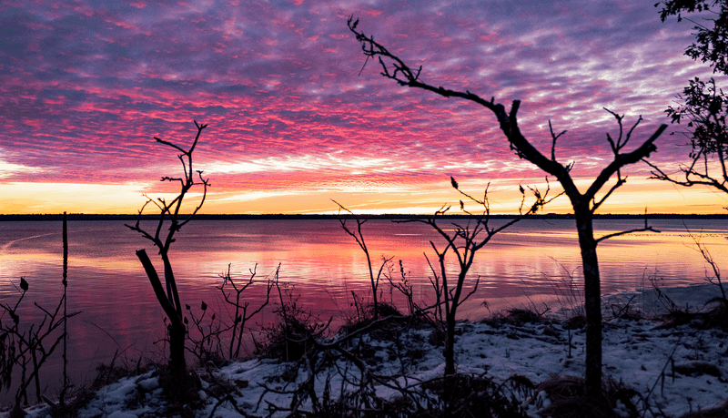
Not every trace of the past can be seen from a boat. At Petenwell Lake, the strongest clues to earlier life may be in maps, photographs, property records, and the memories people passed down. Together, they tell a richer story than a claim about hidden streets.
If a relative remembers the valley before flooding, ask what they recall seeing or hearing. Write down names and dates, but keep memories separate from facts you can confirm. Someone’s story may lead you to a newspaper archive or a local collection with more details.
Share discoveries carefully. When you post an old image, include its source and date if you know them. Avoid naming an underwater town unless reliable records support that exact claim. Being precise helps other curious readers find the real history instead of chasing the same rumor.
The lake’s present deserves attention as well. People fish, camp, and watch the sky change color across its water, making new memories in a place shaped by an older decision. You do not have to choose between enjoying Petenwell and asking what came before it. Holding both ideas together is the best way to understand this remarkable Wisconsin reservoir.