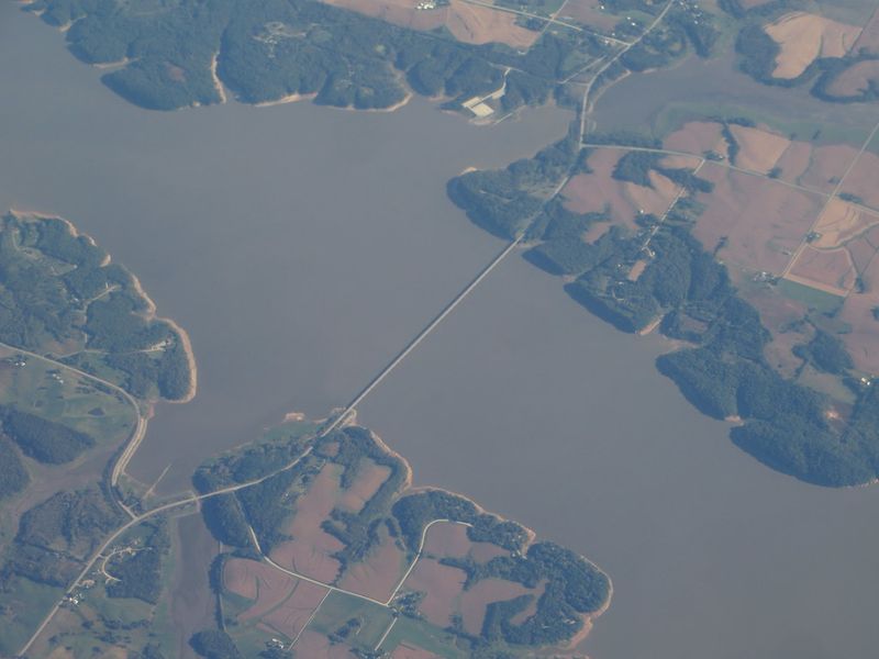
Somewhere under a giant Iowa lake, an old road still runs toward a town that no longer exists. When the water drops low enough, that road can peek back out like it never got the memo.
Six communities once stood where boats now cruise. One had a creamery that shipped butter by rail.
Another had a school that stayed open for 108 years. Their names sound like characters from a folk song.
I love that a lake built to tame floods also ended up guarding so much history. Foundations, old roads, and bridge remains have surfaced during droughts and lower water levels.
Each sighting feels like a message from the past.
So who lived in these towns, and what did they leave behind? I can’t imagine a better mystery to unpack on a lazy afternoon.
The Biggest Lake In Iowa Was Built On Top Of Real Neighborhoods
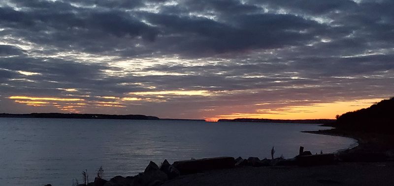
Big water usually means big fun, and Lake Red Rock delivers plenty of it. It’s the largest lake in Iowa, covering roughly 15,250 acres of water.
Add about 35,000 acres of public land around it, and you get more than 50,000 acres to explore. That’s a lot of room for one weekend, so plan accordingly.
The lake didn’t appear by accident, though. The U.S.
Army Corps of Engineers finished Red Rock Dam in 1969 to control flooding on the Des Moines River.
The project was approved under the federal Flood Control Acts of 1938 and 1944. The river had flooded badly many times, and towns along it paid the price again and again.
Here’s the twist that makes this place unforgettable. Six towns sat inside the area that became the lake and its flood zone.
Their names were Coalport, Cordova, Dunreath, Fifield, Red Rock, and Rousseau. Some had already faded before the dam arrived, while others hung on until the 1960s.
Today, the lake works hard for flood control, recreation, and wildlife. Knowing what rests below the surface makes every view a little more interesting, doesn’t it?
The Town That Gave This Lake Its Name Outlasted All The Others
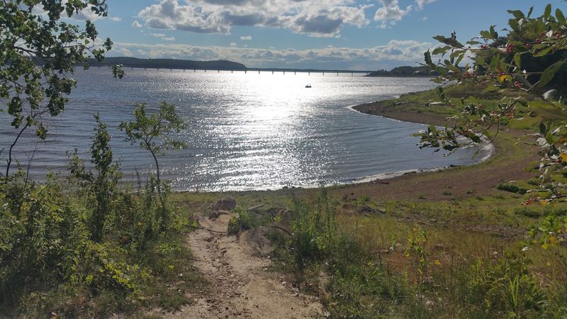
Red Rock started as a trading post in 1842. Three years later, folks laid it out as a proper town.
Then came the flood of 1851, which could have ended everything. Instead, the town bounced back and kept growing.
At its peak, Red Rock had a doctor, four sawmills, and a general store. It also had a bookstore, a drug store, a church, and a post office.
A school went up in 1857, giving local kids a place to learn their letters. Four sawmills for one small town?
Somebody clearly loved lumber.
Red Rock was the largest of the six lost towns. It also lasted longer than any of them, holding on until the U.S.
Army Corps of Engineers acquired the land in the 1960s.
That staying power earned it a lasting honor. The lake itself carries the name of this stubborn little river town.
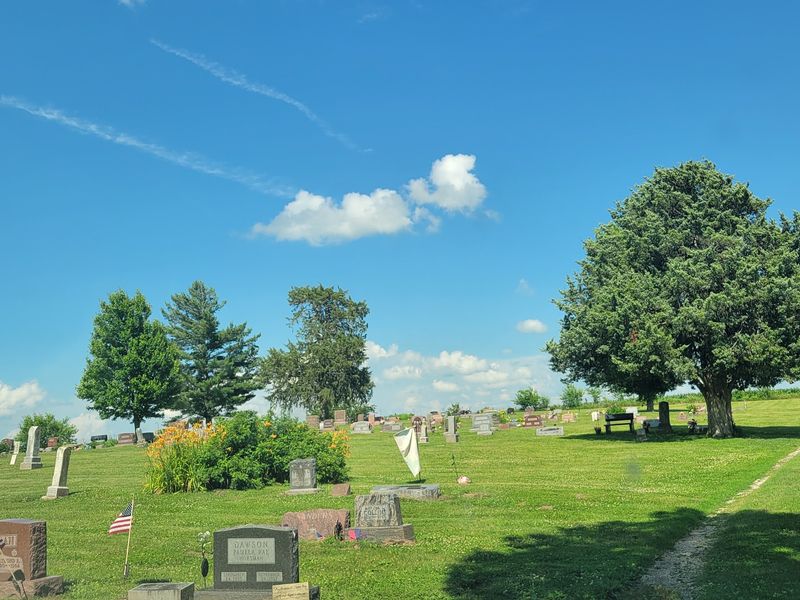
One piece of the community’s history survives above the water today. Red Rock Cemetery remains on dry ground, preserving a connection to the town that once stood nearby.
Other historic town cemeteries were left beneath Lake Red Rock when the reservoir filled, adding a quiet weight to the story of the communities that disappeared.
Coal Steamed Riverboats Long Before Anyone Wanted A Beach Day
Coal changed everything for Coalport. Someone discovered it there in 1842, and it became Marion County’s first mined coal.
The town was platted in 1857, built around that black rock. Miners sent coal to fuel ships traveling the Des Moines River.
So picture the river as a working highway, not a vacation spot. Boats needed fuel, and Coalport had it right there in the ground.
Every town has a weak spot, and Coalport’s was the river itself. In 1903, the Des Moines River changed course.
When your whole reason for existing floats away, trouble follows. The town slowly declined after that shift.
I find this one oddly fascinating. A river built the town, and then the same river basically walked off.
By the time the lake arrived decades later, Coalport was already a ghost of its former self. Still, it counts as one of the six communities linked to Lake Red Rock.
Next time you’re watching boats cut across the water, think about those early coal-powered vessels. The traffic has changed a lot, but this stretch of river has always kept folks moving.
A Newspaper Column Kept Cordova Alive In Print
Railroads made towns pop up fast, and Cordova is proof. A railroad platted it in 1887.
It grew into a busy little spot with nearly a dozen businesses. The lineup included a newspaper, a bank, and two stores.
For a small Iowa town, that’s a respectable main street. You could get your news, your money, and your groceries without much walking.
Cordova also had a storyteller. Grace Karr wrote the Cordova News, a weekly column for local papers.
Her column shared the goings-on of the community each week. Long after the buildings disappeared, her name stays tied to Cordova’s memory.
The town was completely abandoned by the early 1960s. That timing lines up with the Corps acquiring land for the lake project.
Cordova’s name didn’t vanish entirely, though. You’ll find it on one of the most popular landmarks around the lake today.
I like that a community known partly for a newspaper column now gets remembered with something tall and impossible to miss. Grace Karr would probably have written a fine little item about it.
Climb High And Honor A Lost Town At The Same Time
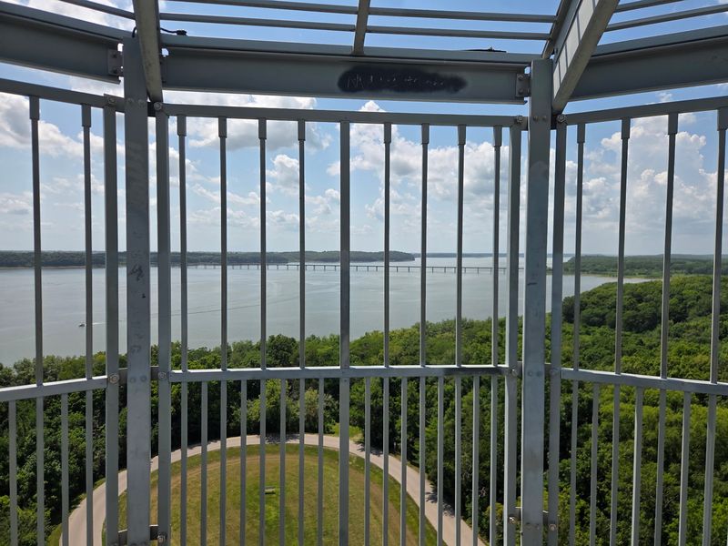
Leg day has never come with this much history. The Cordova Observation Tower at Lake Red Rock carries the name of the lost town of Cordova.
It’s noted as the tallest observation tower in the Midwest located in a public park. That’s a pretty big title for a pretty big climb.
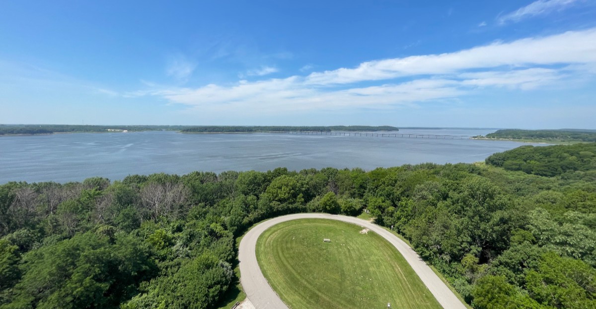
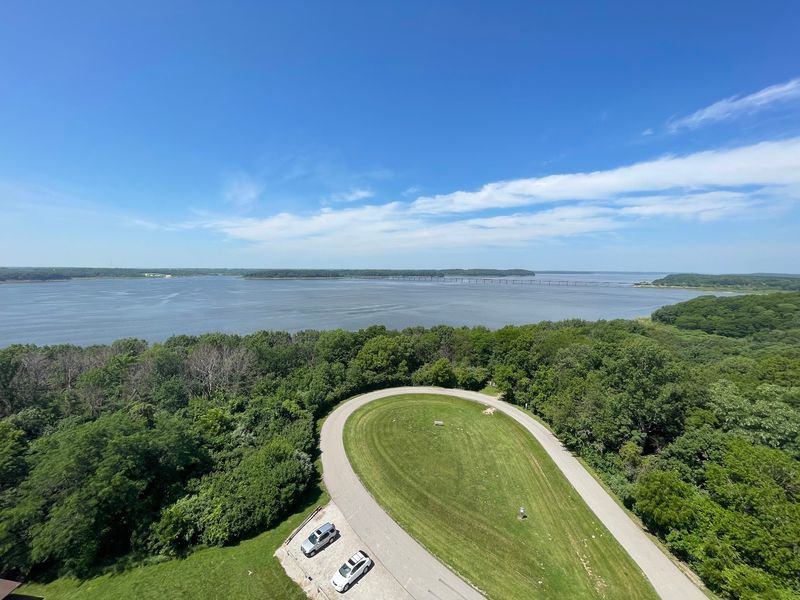
From up there, you get sweeping views over the water and surrounding land. It’s a great way to grasp just how much area the lake covers.
Bring a camera and comfortable shoes. Your phone photos will look better than your breathing at the top.
The tower makes a smart first stop for history fans. Seeing the lake from above helps you imagine where those six towns once spread out.
Kids usually love towers, so this works for families too. Adults get the view, and young climbers get bragging rights.
Fall is a lovely time to try it, since colorful trees frame the water. Clear days give you the widest look across the landscape.
Just remember the towns aren’t visible from up high on a normal day. The tower shows you the stage, and your imagination fills in the cast.
Boarding Houses, Law Offices, And One Very Busy Mining Boom
Dunreath went from map sketch to boomtown in about ten years. It was mapped out in 1882 and topped 400 residents within a decade.
The big push came from the Wabash Railroad. It formed the Red Rock Mining Company right there in Dunreath.
Jobs brought people, and people needed places to stay. Boarding houses popped up to handle the crowd of workers.
The town also had a drug store, law offices, and a general store. Folks clearly had business to settle, and lawyers were ready.
Like many mining towns, Dunreath didn’t stay busy forever. It largely ceased to exist by the 1940s.
One building held on longer than the rest. The White Walnut school stayed open until 1955, teaching kids even after the town faded.
I love that detail. A school outliving its own town says a lot about how much a community valued learning.
When you think about Dunreath, think fast growth and quick change. It’s a reminder that boomtowns could rise and fall in a single lifetime, long before any lake covered the ground.
Butter Rode The Rails Out Of Fifield
Fresh butter on a train sounds like a children’s book plot. In Fifield, it was just regular business.
The town had a creamery that shipped butter on the Wabash railroad. It also had two general stores serving the community.
Fifield was known as the Whitebreast settlement. It began in the 1840s and lasted almost a full century.
That makes it one of the longer-lived towns in this story. It held together until the 1930s.
Now for the record-breaker. The Whitebreast School in Fifield operated for 108 years, from 1851 to 1959.
Think about how many kids passed through those doors. Generations of families likely learned their math in the same place.
The school even outlasted the town by a couple of decades. Rural schools often served wide areas, so that staying power makes sense.
Fifield feels like the cozy farm town of the group. Dairy, stores, and a long-running school paint a picture of steady country life.
Next time you butter your toast near Lake Red Rock, give a little nod to Fifield. It earned it.
Low Water Turns The Shoreline Into A Treasure Map
Droughts rarely feel exciting, but here they come with a bonus. When water levels at Lake Red Rock drop, pieces of the old towns can show up again.
Building foundations, old roads, and bridge remains have appeared during dry periods. There’s even a so-called road to nowhere that peeks out when conditions line up.
Timing matters a lot. Late summer through fall in drought years tends to offer the best chance.
Always check current lake levels before you go. A normal year might show you nothing but pretty water.
Treat anything you find with respect. These are pieces of real communities, and some cemeteries still rest beneath the lake.
Look, take photos, and leave everything where it sits. That keeps the history intact for the next curious visitor.
Wear sturdy shoes if you explore exposed shoreline. Mud can be soft, slick, and surprisingly sneaky.
It’s honestly thrilling that a lake can reveal its secrets this way. Most history hides in museums, but this kind waits for the weather to cooperate.
Patience pays off here. One dry season could hand you a front-row view of the past.
Pack A Cooler, Grab A Map, And Make A Full Day Of It
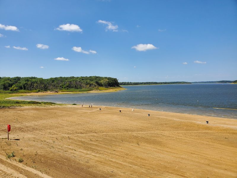
History hunting burns energy, so it’s nice that Lake Red Rock offers plenty of ways to recharge. The lake sits in Marion County, west of Pella and north of Knoxville.
For your map app, use 1105 County Highway T15, Knoxville, IA 50138. From there, the whole area opens up.
You’ll find beaches, campgrounds, cabins, and scenic overlooks around the lake. Trails wind through the surrounding public land too.
Fishing, boating, and swimming are all popular here. Wildlife watchers have lots of space to spot critters along the shore.
Management is a group effort. The U.S.
Army Corps of Engineers, Marion County Conservation, and the Iowa Department of Natural Resources all play a role.
That teamwork helps keep this huge Iowa playground running for everyone. It also explains why so many different activities fit in one place.
My tip? Pair a morning tower climb with an afternoon on the beach.
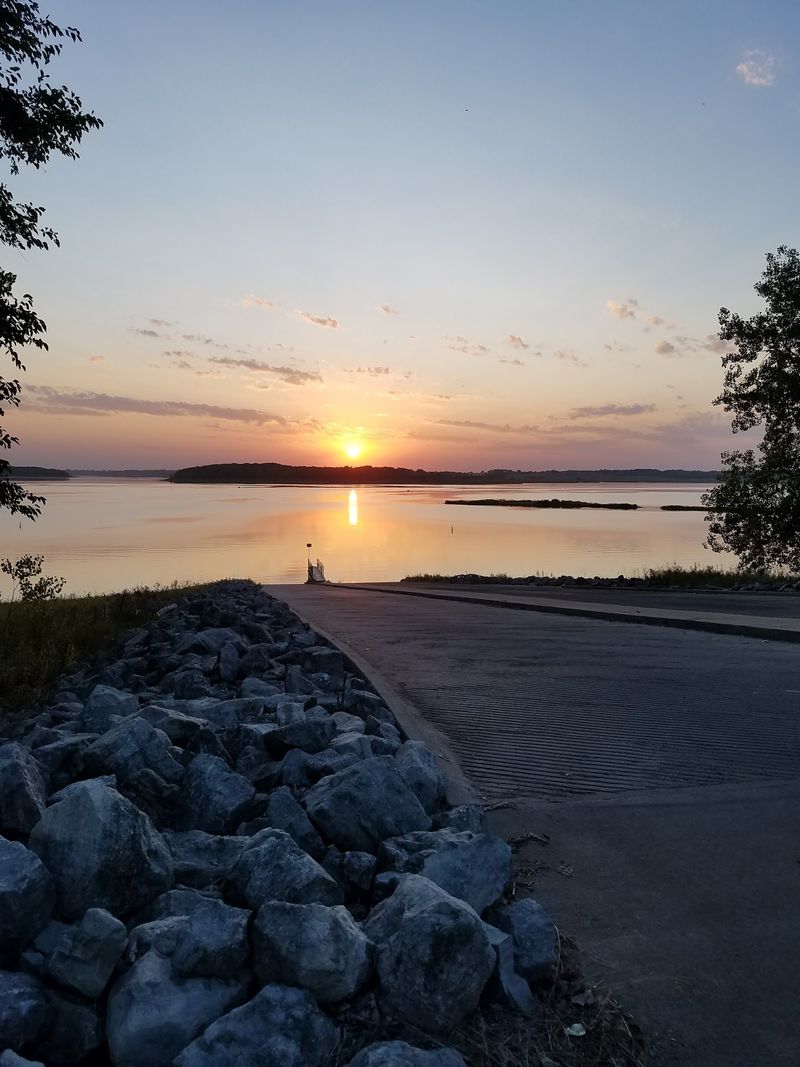
Then cap it off with a sunset at an overlook. Somewhere out there, six towns rest under the glow, and that makes the view feel extra special.