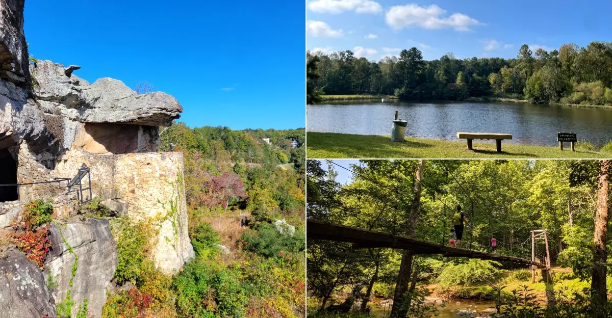
There is a moment each autumn when North Carolina’s trails seem to glow from every direction.
From misty mountain peaks to rocky Piedmont ridges and quiet coastal paths, the state offers an incredible range of fall hikes.
Waterfalls, sweeping overlooks, and crisp air reward hikers at nearly every turn.
Some trails are short and family-friendly, while others offer a bigger challenge for seasoned hikers.
Peak color usually arrives first in the high mountains and slowly works its way toward the coast.
Here are thirteen North Carolina hiking trails that become hard to resist when fall arrives.
1. Craggy Gardens Trail – Barnardsville, Buncombe County,
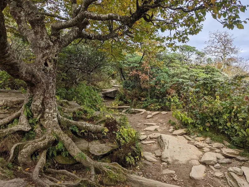
Cool air, twisted trees, and distant mountain ridges make an ordinary afternoon feel like a small escape. Along Craggy Gardens Trail near Barnardsville, fall brings bright touches of color to a landscape famous for its summer rhododendrons. The higher elevation also means chilly breezes can arrive before lower valleys feel much like autumn.
The main trail connects the visitor center area with the picnic area, covering roughly one mile each way. Many visitors choose a shorter outing toward the shelter and grassy opening rather than walking the entire route. Expect roots, uneven ground, and some climbing, even though the distance sounds modest.
Bring a warm layer that you can easily pull on when the wind picks up. Sturdy shoes help on damp leaves, and a small snack makes the shelter area a welcome stopping point. Stay on marked paths to protect the fragile plants growing around the open slopes.
Clear weather offers the best chance of seeing the surrounding ridges, but passing clouds can create a beautiful mood too. Check Blue Ridge Parkway road and facility updates before driving, especially after storms or early freezes. For a quieter visit, aim for a weekday morning and leave plenty of daylight for the winding drive back down.
2. Bass Lake Loop at Moses Cone Memorial Park – Blowing Rock, Watauga County,
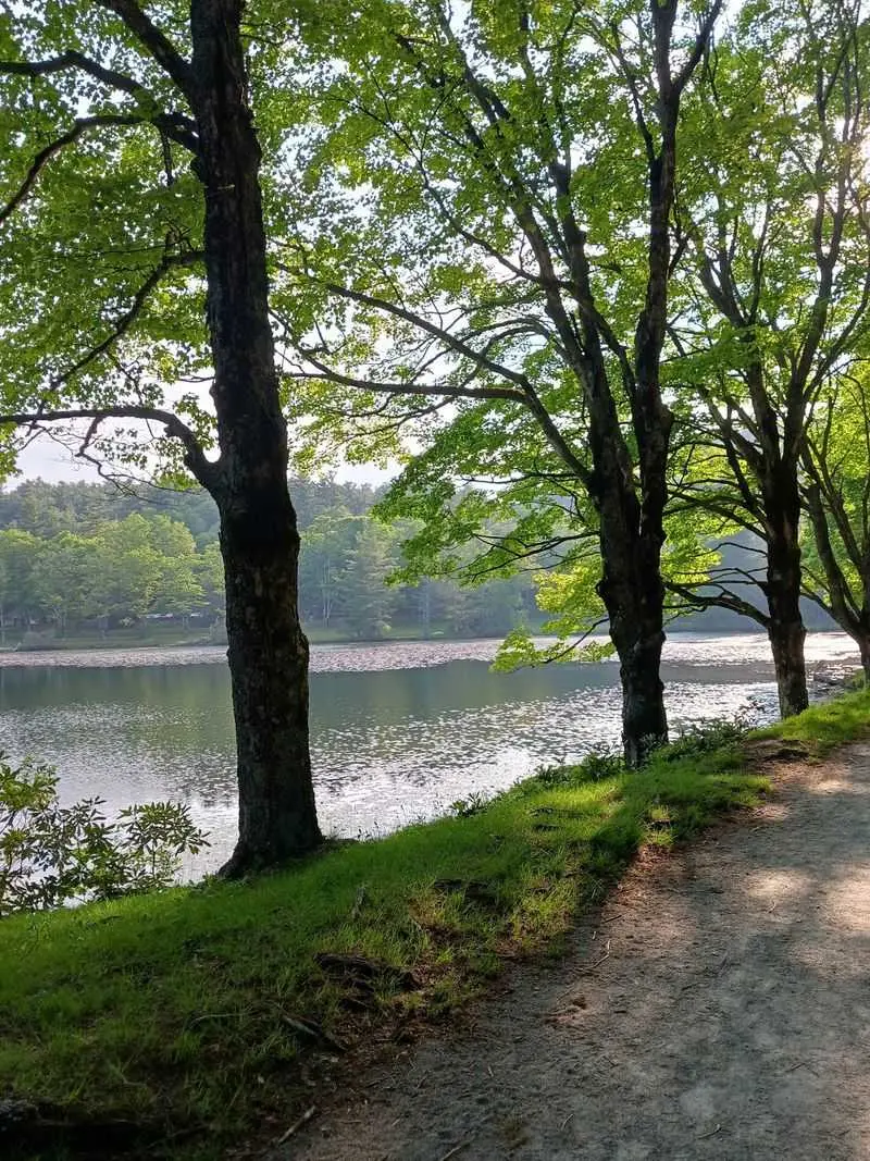
A lake reflecting gold leaves can turn a simple walk into the best part of a weekend. At Bass Lake Loop in Moses Cone Memorial Park, the scenery comes without a long climb or a demanding mountain scramble. Near Blowing Rock, this easy outing suits visitors who would rather linger than chase a summit.
The loop around the lake is about one mile, following a broad carriage road with a mostly level surface. Its gentle grade makes it a useful choice for families and hikers easing into longer walks. However, gravel, puddles, and occasional rough spots mean conditions are not identical to a paved sidewalk.
Look across the water for reflections, then notice the smaller details beside the path. Fallen leaves, ducks, and shifting patches of sunlight give children plenty to discover without leaving the route. Keep wildlife wild by watching quietly and leaving bread or other food packed away.
The surrounding estate has additional carriage roads if your group wants more distance. Download a park map first, since adding a side route can make the outing much longer than expected. Parking is limited during busy fall weekends, so arrive early and avoid blocking access.
Pack a light jacket and enjoy the slower pace beside the water.
3. Linville Falls Trail – Linville Falls, Burke County,
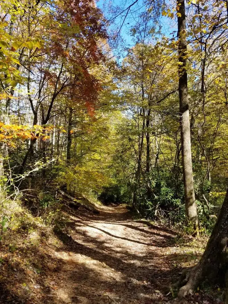
The sound reaches you before the full view does, building excitement as water rushes through the gorge. Linville Falls Trail rewards that anticipation with several overlooks, each showing a different angle of the falls and surrounding cliffs. Autumn adds orange and yellow trees around the dark rock, making the white water stand out.
From the visitor center area, the popular Erwin’s View route is roughly 1.6 miles round trip. Shorter walks reach closer overlooks, while continuing farther adds climbing and a wider view into the gorge. Choose your turnaround based on your energy, not simply on how far other visitors are going.
Roots, stairs, and wet leaves call for shoes with reliable traction. Stay behind barriers and away from cliff edges, even when another angle seems better for a photo. Swimming near the falls is dangerous, and the river’s strong current deserves respect.
A weekday visit often feels calmer than a peak season weekend, especially if you start early. Carry water and allow extra time to pause at each viewpoint rather than rushing between them. Check official Blue Ridge Parkway updates for road access and trail closures before traveling.
After rain, expect muddy sections and slippery surfaces, along with a louder soundtrack from the river below.
4. Deep Creek Waterfall Loop – Bryson City, Swain County,
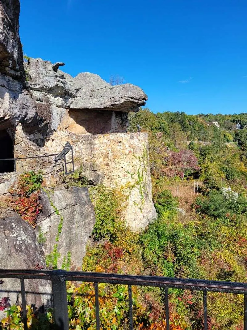
Three waterfalls give this woodland outing a cheerful rhythm: walk a little, hear rushing water, and stop to look. Near Bryson City, the Deep Creek Waterfall Loop links paths around Tom Branch Falls, Indian Creek Falls, and Juney Whank Falls. Fall leaves add warm color above streams that keep the scene lively even on gray days.
A commonly used route covering all three falls measures roughly 2.4 miles, though your exact distance depends on the connections you choose. Some sections are broad and easy, while the approach to Juney Whank includes a more noticeable climb. Carry a trail map so each junction feels like a choice rather than a guessing game.
Waterproof shoes can be helpful after rain, but grip matters more than keeping every splash away. Creekside rocks are slippery, so admire the cascades from designated paths and viewing areas. Children may enjoy counting leaf colors or listening for the next waterfall before it appears.
Great Smoky Mountains National Park requires a parking tag when parking longer than fifteen minutes, with some exceptions. Check current rules and access conditions before your visit, and remember that pets are not allowed on these trails. Bring lunch for a designated picnic spot afterward, and pack every crumb back out.
5. Balsam Nature Trail at Mount Mitchell State Park – Burnsville, Yancey County,
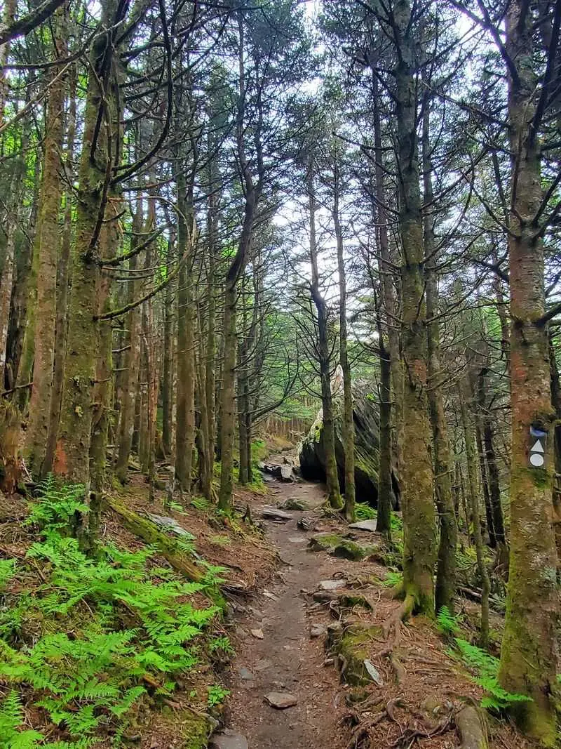
Up here, autumn feels less like a bright leaf show and more like stepping into a cool, fragrant forest. The Balsam Nature Trail at Mount Mitchell State Park winds among spruce and fir near the highest summit in the eastern United States. Its evergreen setting offers a striking change from the colorful hardwood slopes farther down.
This short loop is about three quarters of a mile, making it easy to pair with the separate summit walkway. Still, exposed roots, rocks, and damp ground mean you should treat it as a real hike. Take your time and watch your footing instead of expecting a smooth stroll.
Temperatures near the summit can be much colder than those in Burnsville or nearby valleys. Pack a warm jacket, even if the morning starts comfortably at your lodging. Fog can hide distant views, but it also gives the forest a quiet, almost storybook feel.
Look closely at moss, fallen needles, and the shapes of trees shaped by harsh mountain weather. Remain on the trail, since this high elevation habitat is sensitive to repeated foot traffic. Check park notices and Blue Ridge Parkway access before setting out.
If freezing weather is forecast, reconsider your timing rather than turning a short outing into an uncomfortable adventure.
6. Whiteside Mountain Trail – Highlands, Jackson County,
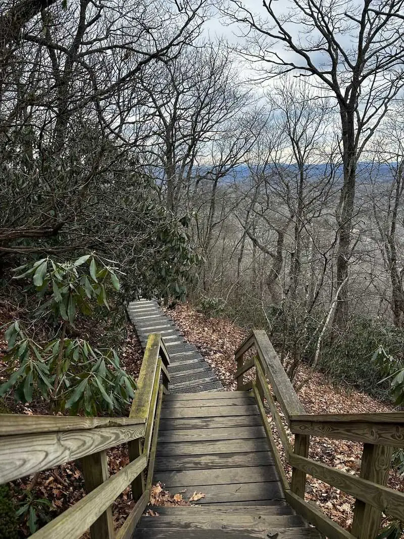
Huge pale cliffs rise above a patchwork of autumn trees, giving this hike a dramatic finish without an all day commitment. Whiteside Mountain Trail, near Highlands in Jackson County, follows a roughly two mile loop to sweeping overlooks. The contrast between bare rock and colorful forest is the reason many visitors return each fall.
The route climbs steadily, and some sections include uneven steps and rough ground. Follow posted trail directions and use the marked loop rather than trying to create a shortcut. Allow time for both the uphill effort and several stops along the ridge.
At the overlooks, stay behind protective barriers and keep children close. The drop beyond the trail is serious, even when the view makes it tempting to move nearer. Wind can feel stronger along exposed sections, so a light outer layer earns its place in your pack.
Bring water, wear shoes with good traction, and check current Forest Service information for access details and any parking fee. Arriving early can help you find a space during busy foliage weekends. Cloudy days may soften the distant views, while clear mornings often reveal more mountain layers.
For photographs, include a little foreground rock or railing to show the height without stepping outside the safe viewing area.
7. Hanging Rock Trail – Danbury, Stokes County,
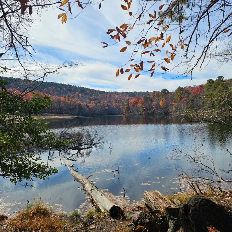
A rocky perch above rolling hills makes the climb feel like a much bigger adventure than its mileage suggests. At Hanging Rock State Park near Danbury, the Hanging Rock Trail leads through hardwood forest toward the park’s famous outcrop. When fall color spreads across the Piedmont, the summit becomes an especially rewarding place to pause.
The hike is about 2.6 miles round trip, with a climb that grows steeper near the top. Stone steps and uneven rock require attention, especially when fallen leaves hide the surface. Start at a comfortable pace so you still have energy for the final stretch.
The summit is open and rocky, with dangerous drops beyond the safe areas. Keep a close watch on children and avoid approaching edges for pictures. On windy days, enjoy the view from a secure spot rather than pushing farther onto exposed stone.
Water, snacks, and sturdy footwear are useful even during cool weather. The trail is popular, so a weekday morning can make the walk feel less crowded. Check park alerts before leaving, and choose a different route if ice or severe weather makes the summit unsafe.
After descending, take a break at a designated picnic area and let the view settle into memory before driving home.
8. Jomeokee Trail at Pilot Mountain State Park – Pinnacle, Surry County,
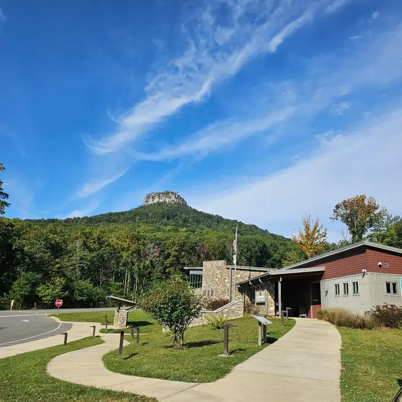
Walking beneath a giant stone knob has a way of making everyday worries seem pleasantly small. The Jomeokee Trail at Pilot Mountain State Park circles the base of Big Pinnacle, the landmark seen from miles away. Autumn gives its towering rock walls a colorful frame of hardwood leaves.
Near Pinnacle, this loop is about 0.8 mile long, but its short distance does not mean perfectly easy footing. Expect rock steps, uneven surfaces, and places where you need to slow down. The path offers close views of the formation rather than access to its protected summit.
Look up to appreciate the size of the cliffs, then pause where the forest opens toward distant countryside. Keep to the marked route and respect closures designed to protect plants and wildlife. A compact pair of binoculars can add interest without adding much weight to your bag.
Parking near the summit area can fill quickly during fall weekends. Check the park’s current access arrangements before arriving, including any shuttle service or vehicle restrictions. Allow extra time so a parking change does not turn your visit into a race.
Wear shoes that grip rock, carry drinking water, and bring a layer for breezy overlooks. For a longer day, consult the park map before connecting with other trails.
9. Kings Pinnacle Trail at Crowders Mountain State Park – Kings Mountain, Gaston County,
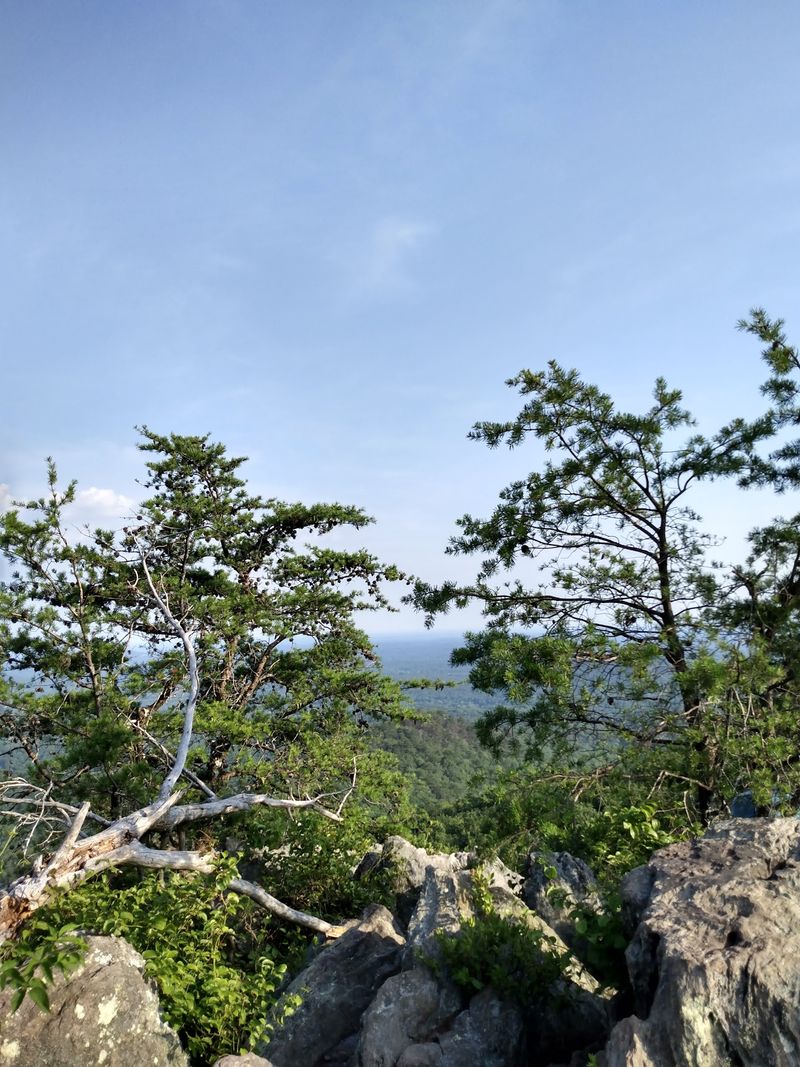
Some fall outings are best enjoyed with a little effort, a steady climb, and a snack waiting at the top. The route to Kings Pinnacle at Crowders Mountain State Park delivers that satisfying mix near Kings Mountain. Known on park maps as the Pinnacle Trail, it reaches a rocky summit above a broad stretch of wooded countryside.
Plan on roughly four miles round trip from the visitor center area. The route becomes more demanding as it climbs, and the final approach includes rough rock that deserves careful footing. This is a better choice for walkers ready for a workout than for anyone seeking a level stroll.
Fall’s cooler air helps, but you still need enough water and time for breaks. Wear supportive shoes and save some energy for the descent, when tired legs can make slipping more likely. Rain and wet leaves can make the rocky sections harder to manage.
Once you reach the summit, stay well back from exposed edges. Find a secure resting place and enjoy the layers of changing trees without stepping toward a drop. Check park hours and alerts before starting, since your return must fit within the day’s access window.
An early start gives you breathing room for both the climb and the views.
10. Faith Rock Trail – Franklinville, Randolph County,
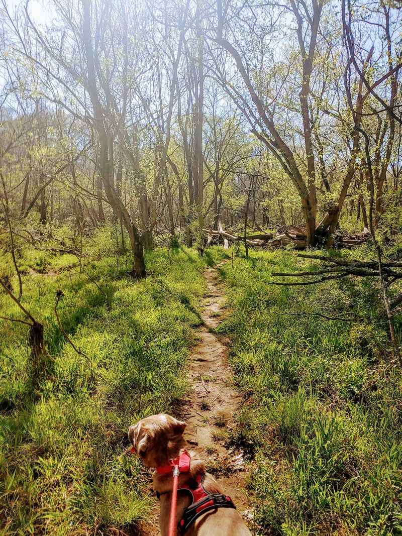
A river, a rocky bluff, and a local legend give this short outing more character than its size might suggest. Faith Rock Trail in Franklinville explores a distinctive formation beside the Deep River. Autumn brings color to the surrounding trees and cooler weather for enjoying this quieter corner of Randolph County.
Local history links the rock to a Revolutionary War story involving a daring escape on horseback. Treat the tale as part of the area’s heritage rather than a reason to test the slope yourself. The exposed rock can be steep, and leaves or moisture may make footing uncertain.
Use the established access route and follow current signs, since nearby river paths can offer different walking options. Check a local trail map before deciding how much distance to add. A short visit can still feel complete if you stop to study the river and the shape of the bluff.
Shoes with dependable traction matter more here than speed or special hiking gear. Keep children away from drop offs and do not approach fast water after heavy rain. Bring drinking water, even if you expect only a brief walk.
Pair the outing with a look around Franklinville’s historic surroundings, while respecting private property and leaving the riverside exactly as you found it.
11. Occoneechee Mountain Loop Trail – Hillsborough, Orange County,
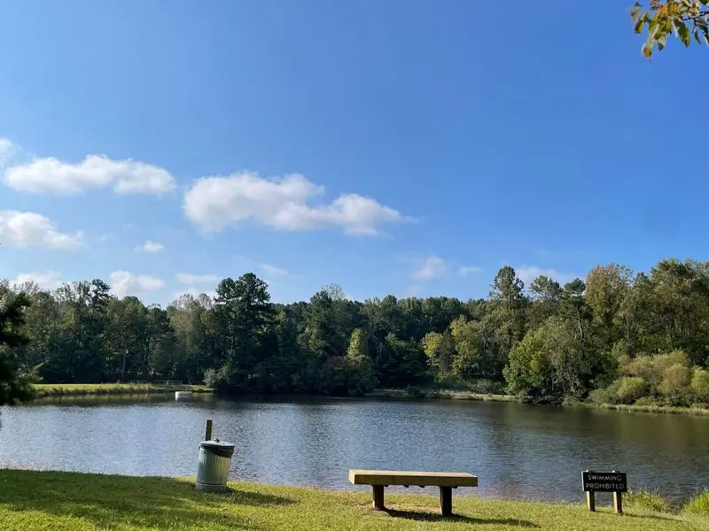
You do not need to drive to the Blue Ridge to find a woodland climb with a mountain feel. Occoneechee Mountain Loop Trail in Hillsborough wraps around one of the area’s most striking high spots. In fall, its hardwood forest gives Triangle residents a nearby place to trade traffic noise for rustling leaves.
The loop is roughly 2.2 miles, with changes in elevation and uneven sections along the way. It travels through varied terrain rather than staying on a simple level track. Consult the posted map if you want to include the separate overlook connection in your outing.
Roots and rocks can disappear beneath freshly fallen leaves, so keep your eyes on the path during descents. Wear shoes with traction and bring enough water for the whole walk. A walking stick may help if you prefer extra balance on sloping ground.
The natural area’s mix of habitats makes small observations part of the fun. Notice how tree types and ground cover change as you move between lower sections and higher slopes. Avoid entering closed areas or approaching unstable quarry edges.
Parking can be tight on pleasant weekends, making an earlier arrival useful. Check state park updates before your trip, and leave time afterward to explore nearby Hillsborough at an unhurried pace.
12. Cox Mountain Trail at Eno River State Park – Durham, Durham County,
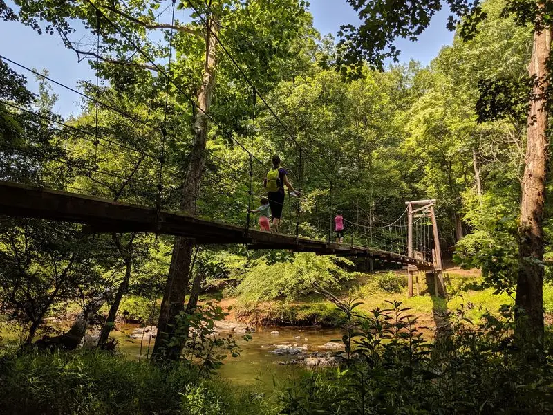
A swinging footbridge adds a playful beginning to a hike that soon becomes a proper woodland workout. At Eno River State Park in Durham, Cox Mountain Trail combines river scenery with a climb through hardwood trees. Fall suits the route especially well, bringing cooler air and bright leaves above the water.
The loop is about 3.75 miles, starting from the Few’s Ford area. After crossing the suspension bridge, the trail rises away from the river before returning through the forest. Do not let the peaceful opening fool you into expecting a flat walk from beginning to end.
Bring water and allow enough time for the climb, photo stops, and a comfortable return. Roots, rocks, and fallen leaves require attention, particularly on downhill sections. Follow bridge instructions and give other visitors room to cross without crowding.
Along the river, look for reflections, exposed stones, and leaves drifting into quiet pools. Stay out of swift water and avoid slippery rocks near the bank. After heavy rain, check park notices because flooding can affect crossings and trail access.
A weekday visit often offers more space to listen to birds and moving water. Pack a snack, use designated resting spots, and carry your litter out so the next hiker finds the same welcome.
13. Cedar Point Tideland Trail – Cedar Point, Carteret County,

Golden marsh grass proves that fall color does not have to come from a mountainside full of maples. Cedar Point Tideland Trail offers a coastal version of the season, with tidal water, open sky, and wooded stretches. Located in Croatan National Forest near Cedar Point, it feels very different from the state’s rocky summit hikes.
The trail system includes a shorter loop and a longer option of roughly 1.3 miles. Boardwalks cross wet areas, while other sections follow natural surfaces through the coastal landscape. Choose your route using the posted map, and check whether all sections are currently open.
Autumn often brings more comfortable temperatures, but insects can remain active on warm days. Carry repellent, water, and sun protection because the marsh has little shade. A light jacket is useful when wind moves across the open water.
Bring binoculars if you enjoy watching birds from a respectful distance. Look for movement along creek edges without stepping off the boardwalk or disturbing feeding wildlife. Tides change the view, so the same walk can look surprisingly different on another visit.
Storms and flooding can damage coastal trails, making current Forest Service notices worth checking before departure. Walk slowly on damp boards and finish with a quiet pause beside the marsh before heading home.