A highway in the North Carolina mountains started as a joke. Back in the 1950s, people laughed that the only roads to Tennessee were old wagon trails, and that punchline eventually became a real road.
It took 34 years to plan and build. When it opened in 1996, it was the state’s most expensive scenic highway at the time.
I love that a wisecrack turned into one of the prettiest rides around.
That story got me curious about other roads worth a holiday detour. Some climb above 6,000 feet.
One hugs a thin strip of sand between an ocean and a sound.
Another has a name that sounds like a warning label. I can’t think of a better way to spend a long weekend than chasing views with a full tank and good snacks.
So which curvy road is calling your name first?
1. Cherohala Skyway
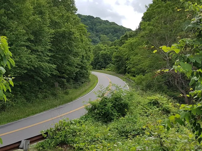
Few roads can say they began as a punchline, but this one can. In the 1950s, folks joked that only old wagon trails linked North Carolina and Tennessee.
The joke stuck, and the road finally opened in the fall of 1996. Planning and building took 34 years, so patience clearly paid off.
The name is a mashup of the Cherokee and Nantahala National Forests. The route runs 43 miles, following NC 143 from Robbinsville to the state line.
From there, it becomes TN 165 and rolls on to Tellico Plains. You get two states for the price of one drive.
Elevations climb past 5,000 feet along the top of the mountains. Santeetlah Overlook sits highest, at 5,390 feet.
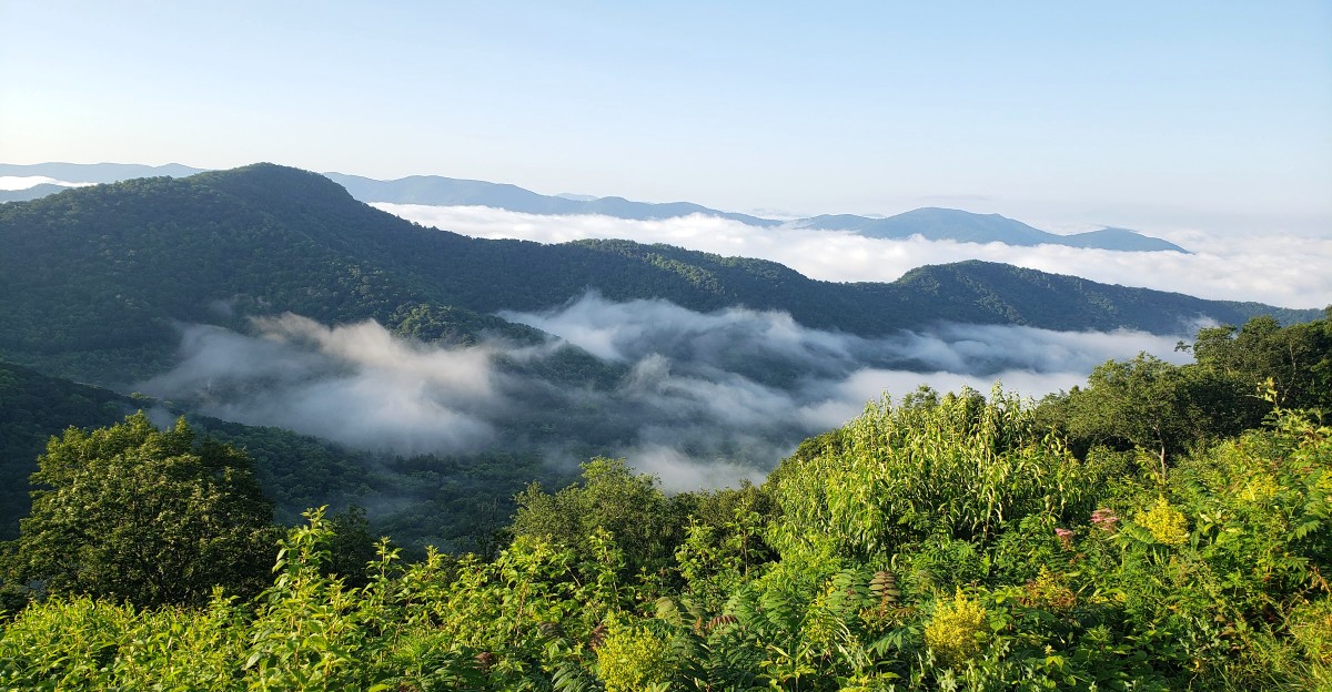
Long, sweeping curves lead to wide-open overlooks with forested peaks stacked in every direction. Motorcycle riders love it, so expect some engine rumble on busy afternoons.
Want to stretch your legs? The Hooper Bald Trail and Huckleberry Knob Trail both serve up big mountain views.
Joyce Kilmer Memorial Forest is nearby too, famous for its old-growth trees. Those giants make you feel pleasantly tiny.
Now for the important part. There are no gas stations, restaurants, or full restrooms along the route, only a couple of seasonal restrooms.
Fill your tank and pack lunch before leaving Robbinsville. Skip winter trips, since snow and ice can make the road unsafe.
Address: 4793 Santeetlah Rd, Robbinsville, NC 28771
2. Blue Ridge Parkway – South End
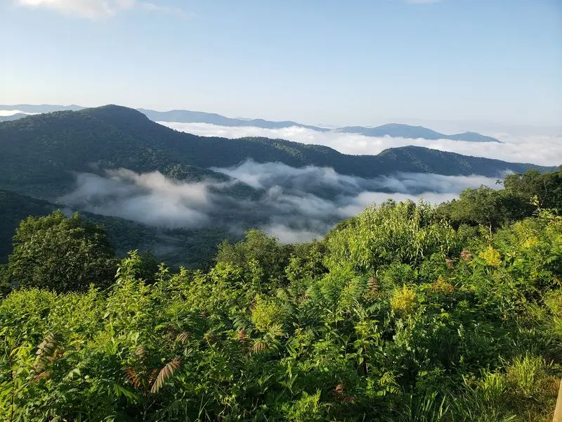
America’s Favorite Drive saves a grand finale for Cherokee. The Parkway’s North Carolina stretch runs about 252 miles, and the south end meets the Great Smoky Mountains National Park.
Built during the Depression era, the road holds the All-American Road title. That’s a fancy badge for a very relaxing ride.
Nobody’s in a hurry here. The speed limit sits at 45 mph, which gives you time to actually look around.
Overlooks pop up often, and picnic areas make lunch stops easy. Rhododendrons bloom along the road, and fall brings bright colors to the slopes.
Heading north from Cherokee, you’ll find Waterrock Knob, Black Balsam Knob, and Graveyard Fields. Each one offers a different flavor of mountain scenery.
Richland Balsam Gap is the highest point on the whole Parkway at 6,053 feet. Your ears might notice before your eyes do.
Mount Pisgah, at Milepost 411, looks over Pisgah National Forest. The Blue Ridge Parkway Visitor Center in Asheville, at Milepost 384.5, stays open year-round.
Got a full day? Keep rolling to Linville Falls, where trails lead to views of its three tiers.
Farther north, the Linn Cove Viaduct curls around Grandfather Mountain. It’s one of the most photographed stretches in North Carolina.
Check closures before you go, since some areas are still recovering from Hurricane Helene. Crabtree Falls and the Linville Falls campground remain closed.
Address: 20 US-19, Cherokee, NC 28719
3. Outer Banks National Scenic Byway
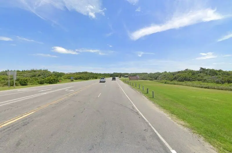
Ocean on your left, sound on your right, and a lighthouse up ahead. On NC Highway 12, the views come from both windows at once.
The byway covers about 138 driving miles plus 25 ferry miles. It links barrier islands from Whalebone Junction in Nags Head down to Ocracoke.
Lighthouse fans, get your camera ready. Bodie Island Lighthouse stands along the way.
Cape Hatteras Lighthouse is the tallest brick lighthouse in the country. Its home, Cape Hatteras National Seashore, was the nation’s first national seashore.
Bird lovers should slow down at Pea Island National Wildlife Refuge. It’s a popular birding spot, so binoculars earn their keep.
History pops up too. The Chicamacomico Lifesaving Station tells a seaside story, while Kill Devil Hills marks the Wright Brothers’ first flight on December 17, 1903.
Jockey’s Ridge dunes rise near the northern end. Kids can burn off energy before the long ride south.
The ferry to Ocracoke turns travel into an adventure. The village has ties to the pirate Blackbeard, which makes any kid perk up fast.
No restaurants line the byway itself, so pack snacks in the cooler. Small villages along the route can help fill gaps.
One heads-up for planners. A nor’easter damaged the road near the Pea Island Visitor Center, and a one-lane detour may cause delays.
Address: Cape Hatteras National Park Rd, Nags Head, NC 27959
4. Forest Heritage Byway (Davidson R)
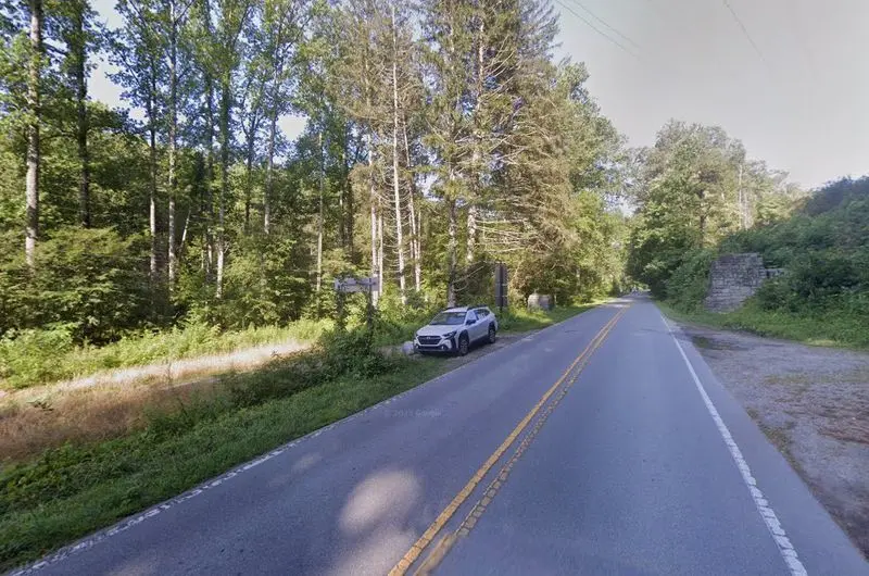
Modern American forestry was born along this road, and that’s not tourism talk. The Biltmore Forest School ran here under Dr. Carl Schenck from 1898 to 1913.
Today, the Cradle of Forestry honors that story. You’ll find exhibits, historic buildings, and paved trails easy enough for little legs.
Timing matters, though. The Cradle of Forestry opens seasonally from mid-April to early November.
The byway follows US 276 through Pisgah National Forest. Look for the twin stone columns marking the southern entrance near Pisgah Forest.
Waterfalls steal the show here. Looking Glass Falls drops 60 feet, and you can see it right from the road area.
Moore Cove Falls takes a short, easy hike to reach. It’s a nice reward for minimal effort, which is the best kind of reward.
Then there’s Sliding Rock, a natural rock waterslide. Summer crowds flock there, and honestly, who can blame them?
The core byway runs about 17 miles. A bigger 76.7-mile loop connects Lake Logan and Brevard using NC 28 and US 64.
Fun fact for history buffs. Pisgah National Forest began in 1914 with land bought from the George W.
Vanderbilt Estate.
There are no restaurants along the drive itself. Grab picnic supplies in Brevard and enjoy lunch beside the water.
The route also connects with the Blue Ridge Parkway. That makes pairing two scenic drives in one day pretty tempting.
Address: 128 US-276, Pisgah Forest, NC 28768
5. The Devils Whip
With a nickname like that, you already know this road won’t be a lazy cruise. The stretch of NC 80 near Marion earned its reputation one hairpin at a time.
Riders call it one of the most technical routes in the mountains of North Carolina, Tennessee, and Virginia. That’s a big claim in a region packed with curvy roads.
So what makes it special? Tight twists keep your hands busy and your focus sharp.
Between the bends, lake views peek through the trees. It’s a sweet payoff for all that steering.
New motorcycle riders should think twice before tackling it. This road rewards skill and punishes rushing.
Drivers in cars can enjoy it too, as long as they take it slow. Let faster traffic pass at safe spots, and nobody gets grumpy.
Here’s a smart plan for your holiday weekend. Drive it in daylight, when you can spot the curves and enjoy the scenery.
Skip the big lunch right before. Your stomach will thank you after the fifth or sixth switchback.
No restaurants sit along the route itself. Eat in Marion first, then head up the mountain with a light snack.
Check your brakes and tires before you go. A road this twisty deserves a car or bike in good shape.
Take it easy, enjoy the water views, and you’ll have bragging rights for weeks.
Address: 1696-1674 NC-80, Marion, NC 28752