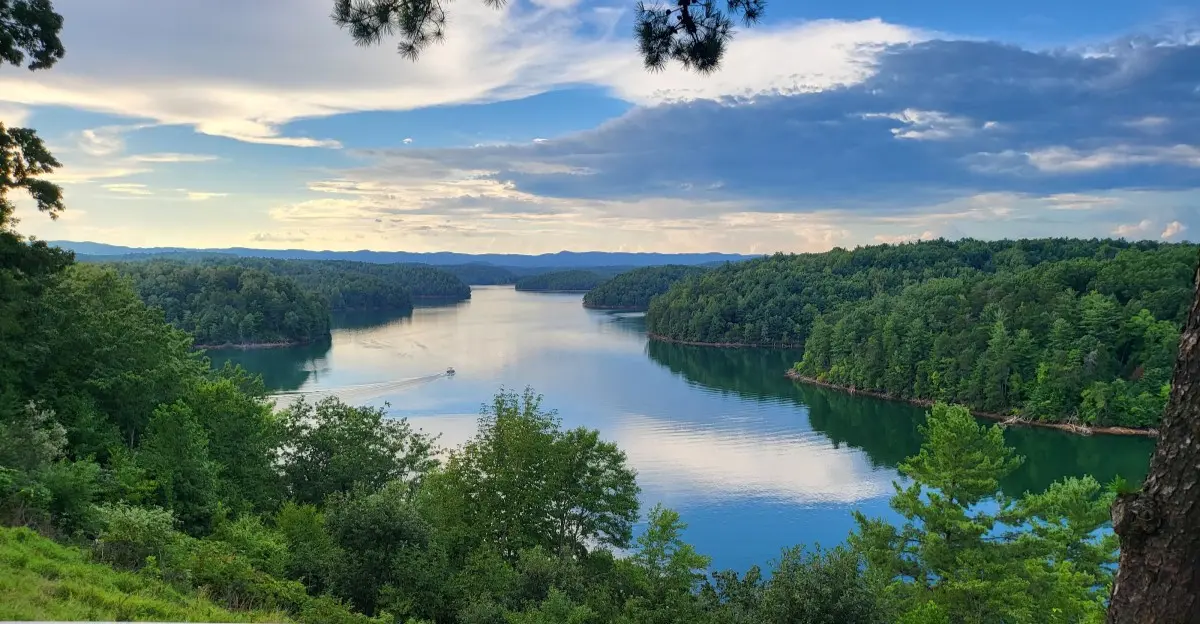
A lake now covers parts of the valleys that once shaped this corner of Virginia, and its quiet water gives few clues about what changed beneath it.
Philpott Lake was created when a dam blocked the Smith River, spreading water across thousands of acres near the Blue Ridge foothills and changing the land for good.
Today, people visit to fish, camp, hike, swim, and enjoy the view, but the lake also has a serious job: helping control floods downstream and producing electric power.
Its wooded shores make an inviting getaway, yet knowing how the lake came to be adds another layer to every visit, from a walk beside the water to a boat ride over the former valley floor.
You do not need to be a history expert to appreciate that story.
A look at the dam, the shoreline, and the places people gather shows how much one project changed the landscape.
A Valley Became Open Water
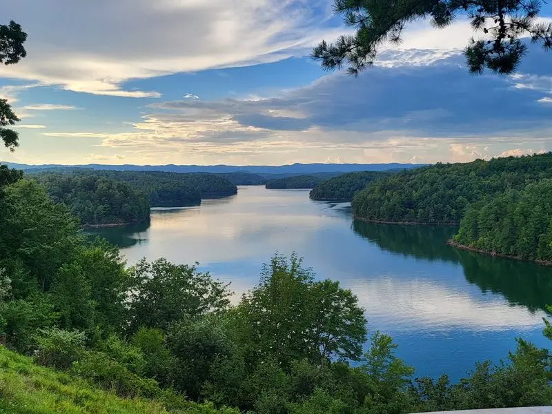
Look across Philpott Lake, and the wide water can make it hard to picture the land underneath. Before the reservoir formed, the Smith River flowed through a valley between wooded hills. Blocking that river caused water to spread into lower ground, changing the view across thousands of acres.
The lake covers about 2,900 acres, though its size can change with water levels. That number describes the water’s surface, not every piece of land affected by construction. Rather than imagining one flat flooded field, picture a winding river valley with smaller valleys branching from it.
Today’s coves offer a clue to that earlier shape. Water reaches between ridges, while higher slopes remain above the surface as wooded shorelines. A map can help you spot how the lake follows the land instead of forming a simple circle.
If you visit, pause at an overlook before heading to the shore. Trace a cove with your eyes and imagine the stream or slope below its water. The lake is beautiful on its own, but noticing the old valley shape makes the landscape’s change easier to understand.
The Dam That Changed the Map
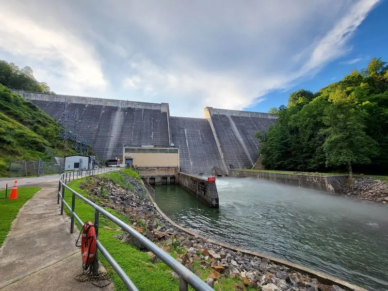
A wall across the Smith River made this lake possible. Construction of Philpott Dam began in 1948, and the project was completed in 1952. Once the dam held back the river, water rose behind it and filled the surrounding low valleys.
Flood control was a major reason for building it. The dam can hold back some water during heavy rain and release it in a managed way. That helps reduce flood risks downstream, though no dam can prevent every flood.
The project also produces hydroelectric power. Moving water helps generate electricity, giving the reservoir a purpose beyond recreation. A peaceful afternoon at the lake can hide just how much work this structure does.
When you look at photos of the dam, notice the steep hills around the water. They show why a barrier at one point could create such a broad reservoir upstream. For a fuller picture, read visitor information from the U.S.
Army Corps of Engineers before your trip. Knowing the dam’s jobs can turn a pleasant lake view into a lesson about how people reshaped a river.
A Shoreline Full of Hidden Turns
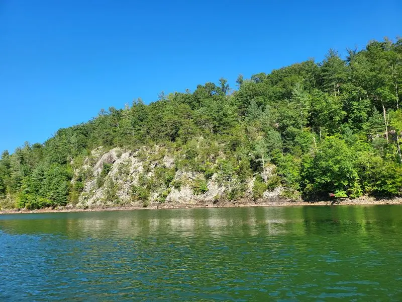
From above, Philpott Lake looks less like a bowl and more like a branching tree. Its water follows the old river valley into coves and bends between forested ridges. That winding shape gives visitors many different views within the same lake.
The shoreline stretches roughly 100 miles. That does not mean you can follow it on one easy walking path. Some banks are steep, and access depends on the recreation area you choose.
For a relaxed visit, start with a public access point rather than guessing where a road might lead. Check a current lake map for boat landings, trails, beaches, and campgrounds. A cove that looks close across the water may take longer to reach by land than you expect.
Boaters should pay attention to turns and changing conditions. Carry a map, check the weather, and wear a properly fitted life jacket. If you stay on shore, look across the water for the narrow cuts between hills. Those little openings help explain how rising water followed the valleys and created the lake’s long, varied edge.
Three Counties Share the Water
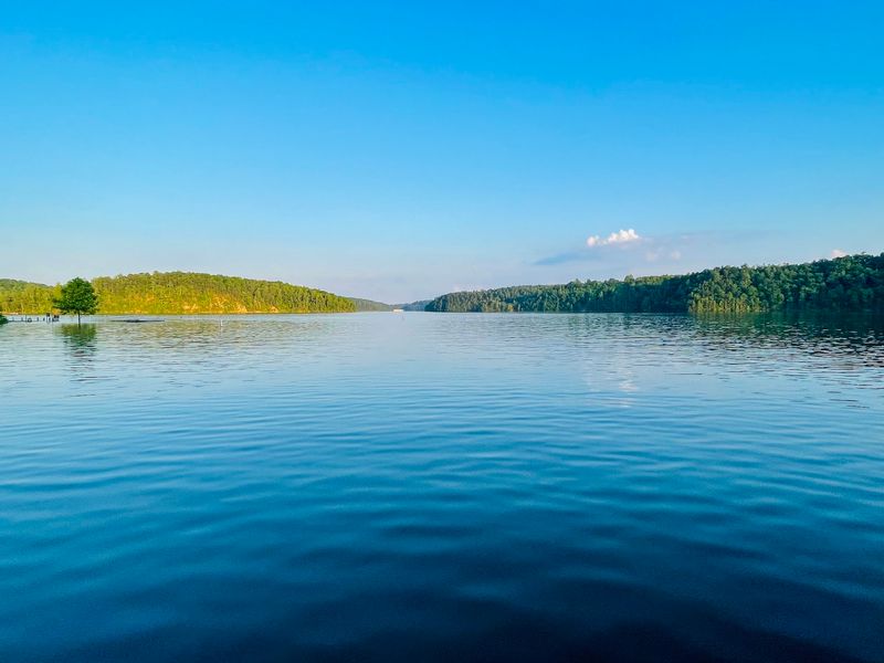
One lake, three counties: Philpott stretches into Franklin, Henry, and Patrick counties. That reach helps explain why a visit can feel different depending on where you stop. A campground, boat landing, or trail may show you another side of the same reservoir.
The surrounding hills connect those places visually. Trees cover much of the land above the water, giving the lake a sheltered feel. Even when visitors gather at a busy access area, a nearby cove may look quiet from a distance.
Planning matters when places around the shore sit far apart by road. Choose the recreation area you want before you leave home, then check its directions and current facilities. Do not assume that every beach, restroom, or campsite is beside every boat ramp.
There is also a useful geography lesson here. County borders divide maps, but the flooded valley and its shoreline form one connected landscape. Bring a map if you want to see how the lake crosses those borders. It can make a simple drive around Philpott feel like an exploration of the foothills.
Forest Trails Above the Old Valley
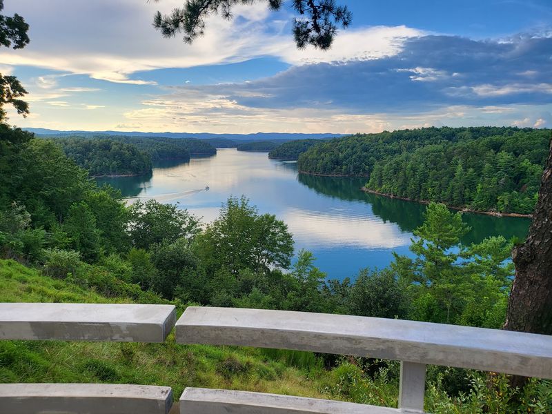
Leaves crunch underfoot while the lake flashes blue through the trees. Walking near Philpott gives you a different view of the valley change than boating does. From higher ground, you can see how wooded slopes run down toward water that now fills the low places.
The U.S.
Army Corps of Engineers manages land around the reservoir and provides recreation areas. Trails let visitors enjoy the forest without needing a boat. Choose a route that suits your group, and check current trail information before setting out.
Shaded paths still call for preparation. Wear sturdy shoes, bring drinking water, and watch for roots or slippery ground after rain. If you hike with children, agree on a meeting point and stay together near steep banks.
Try stopping where the shoreline comes into view. Look at the height of the land around you, then picture the older river far below. That small pause links today’s peaceful walk with the huge change that created the lake. Take your litter home so the next visitor can enjoy the same view.
Camp Nights Beside the Water
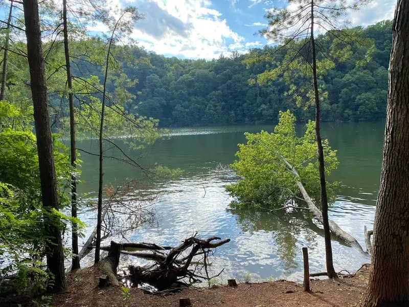
Sunset can turn a camping trip at Philpott into a front row seat to the lake’s changing colors. Campgrounds give visitors more time to notice its quiet mornings, wooded hills, and long shoreline. Goose Point is one camping area visitors often mention.
A good trip begins before you pitch a tent. Check official campground details for reservations, site size, bathrooms, showers, and seasonal rules. Facilities can differ between areas, so a review of one campsite may not describe another.
Pack for changing weather, even if the forecast looks friendly. Bring a flashlight, drinking water, and a safe way to store food. Keep your camp tidy and follow posted fire rules to protect the forest around the reservoir.
At night, the lake’s human story is easy to miss. The peaceful water rests above land that once formed part of a river valley. Share that fact around the picnic table, then listen to the sounds outside your tent. Camping offers more than a place to sleep: it gives you time to notice the landscape.
Fishing and Boating on a Working Lake
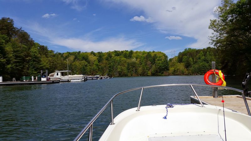
A fishing line skims the water where a valley floor lies below. Philpott attracts anglers and boaters because its coves, open stretches, and forested setting make time on the water rewarding. Boat launches provide access, but conditions can change during a single outing.
Check current Virginia fishing rules and license requirements before you cast. Rules may vary by species and season, so do not rely on an old sign or a friend’s memory. Bring the right gear and leave fishing line out of the water when you go.
Boaters should check the weather and know where they plan to launch and return. Wear life jackets, carry needed safety equipment, and give swimmers plenty of room. The lake’s many bends are lovely, but they can make a landing harder to spot.
Water levels may change because Philpott is a managed reservoir. Watch for exposed shore, submerged hazards, and posted notices near access areas. A little planning helps everyone enjoy the lake while remembering that it serves flood control and power needs, too.
A Swimming Day With the Past in Mind
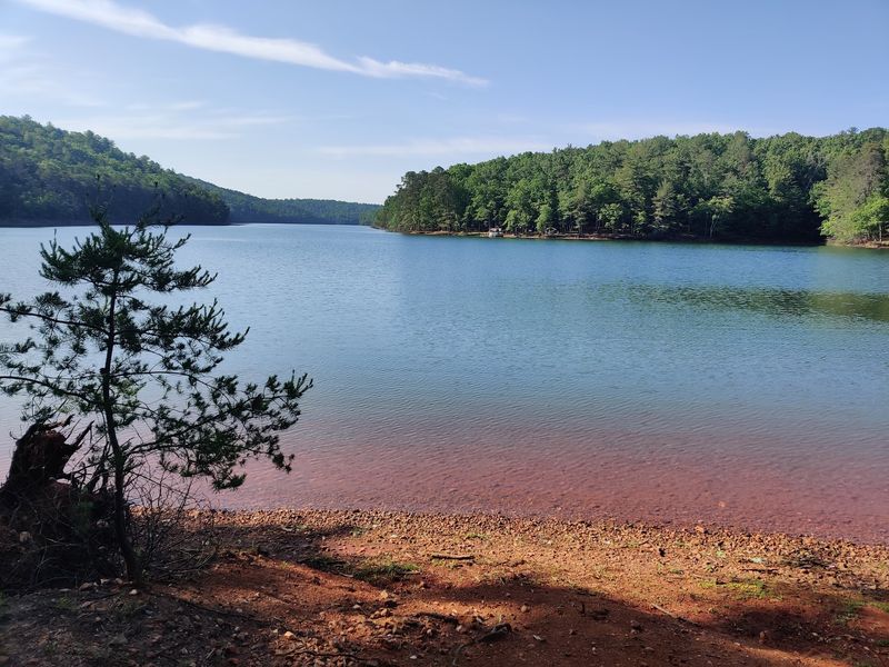
On a warm day, the story of Philpott may begin with sandy feet and a picnic lunch. Some recreation areas offer designated swimming spots and tables near the water. Those cheerful places sit beside a reservoir built for flood control and power, not just summer fun.
Choose a marked swimming area and follow its posted rules. Never assume a lifeguard is on duty. Keep children within reach, use properly fitted life jackets when needed, and avoid swimming after a storm.
Picnic plans deserve a little thought, too. Arrive with enough water and shade supplies, and check whether your chosen area has restrooms. Pack out trash so food wrappers do not reach the lake or harm wildlife.
Before heading home, look beyond the beach toward the hills. The water between them covers low ground that changed when the Smith River was dammed. That history does not take away the fun of a swim. It makes a day at Philpott richer by showing how recreation and a working reservoir share the same place.