
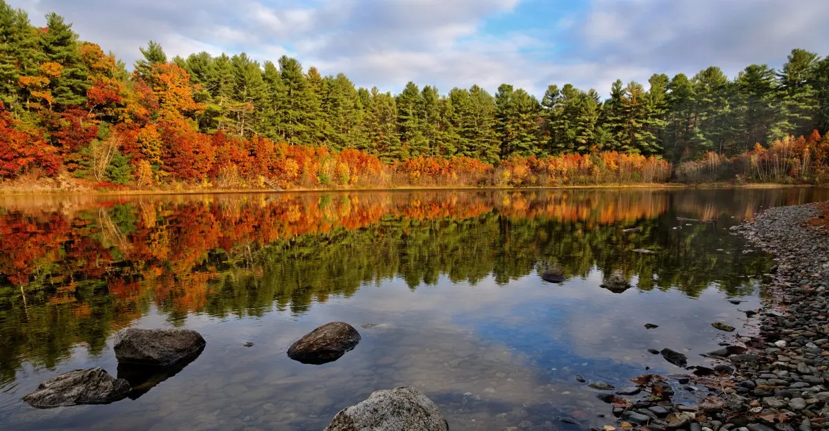
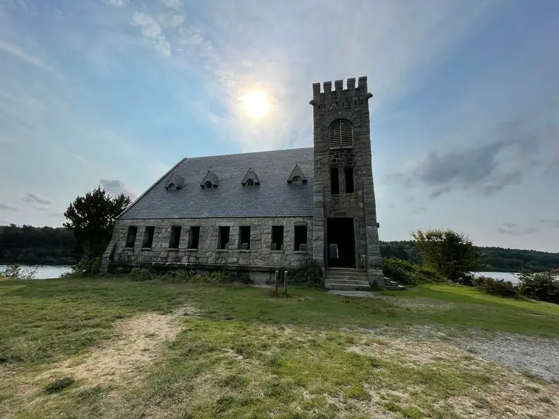
A stone church still stands at the edge of the water, but the village it once served is gone.
Boston needed drinking water, and three small neighborhoods paid the price.
The reservoir project displaced residents and businesses, and West Boylston’s population fell from 2,968 in 1895 to 1,500 in 1908.
Homes, mills, and a busy train stop vanished under a lake made on purpose.
I can’t imagine watching my own street fill with water so a faraway city could fill its glasses.
This happened in central Massachusetts, and the results are still easy to see today.
Quiet trails now wind past spots where families once shopped, worked, and went to church.
I like how the landscape looks calm while hiding such a dramatic story.
So what exactly disappeared, and what can you still find along that shoreline? The answers are stranger than most people expect.
Boston Got Thirsty, And A Whole Town Got The Bill
Late in the 1800s, metropolitan Boston was growing fast. All those new people needed clean water, and nearby supplies were not keeping up.
The answer became the Wachusett Reservoir, a massive project in central Massachusetts. Work began in 1897, when crews started holding back the Nashua River.
The plan touched parts of Clinton, West Boylston, Boylston, and Sterling. West Boylston took the hardest hit by far, losing its town center and most of its industries.
Here’s a detail that stops people cold. The project was the first time Massachusetts deliberately flooded an inhabited area to create a drinking water supply.
Over 1,700 residents had to move away. Some families had lived there for generations, and the state simply needed the land more.
Construction wrapped up in 1905. The water filled the basin by May 1908, and the old map of the valley changed forever.
When you stand on the shore today, try to keep that timeline in mind. Every calm ripple sits on top of choices that reshaped real lives in just over a decade.
Lower Village Went Completely Under The Water
Of the three villages, Lower Village had the toughest ending. It sat around the West Boylston train station, and it disappeared entirely beneath the reservoir.
Not partly. Not mostly.
The whole neighborhood ended up underwater.
A train station mattered a lot back then. It connected local workers, farmers, and shop owners to bigger towns and markets across the region.
Losing it meant losing a lifeline. Residents didn’t just lose houses, they lost the easy link to everywhere else.
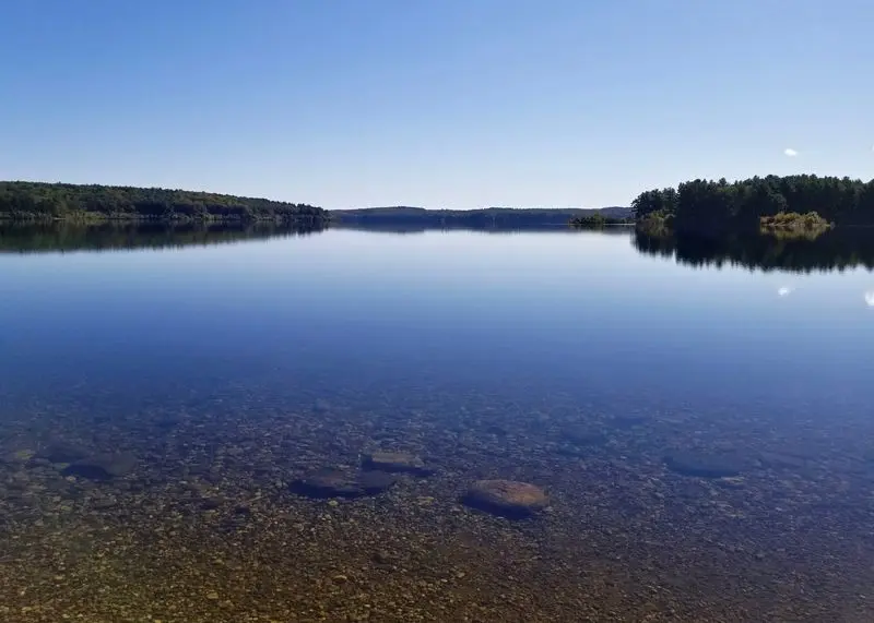
It’s a strange thought when you gaze across the surface today. Somewhere below sits the footprint of a place where people waited for trains and swapped news.
Ever wonder why the water looks so peaceful? Part of the reason is that nobody is allowed to swim or go boating in it.
The reservoir still supplies drinking water, so it stays protected. That rule keeps the old Lower Village resting quietly, far out of reach.
Bring a little imagination along on your visit. Reading the shoreline as a buried neighborhood makes a simple walk feel like a history lesson.
Half Of Upper Village Survived, And You Can Still Find It
Mills once hummed in Upper Village, which included the Oakdale area. Those mills gave families steady work and kept the little community busy.
Then the reservoir arrived. Upper Village took a serious hit, but most of Oakdale remains today, with only its first few blocks of streets lost to the reservoir.
Half sounds better than nothing, right? Still, losing half your neighborhood is a big deal, especially when the jobs vanish too.
Mill towns ran on water power, so they often sat right where a reservoir would want to go. That bit of geography sealed Oakdale’s fate.
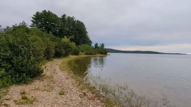
The surviving part of Oakdale is a living reminder of what the area once looked like. It shows the edge where the old world stopped and the new water began.
A drive through can feel like reading a book with missing chapters. You see the parts that stayed and can guess at the ones that left.
Pay attention to how the roads curve near the shoreline. Those bends often trace a story about land the town gave up so others could drink.
Central Village Stayed Dry But Lost Its Spark
Dry land doesn’t always mean a happy ending. Central Village never went underwater, yet it still lost the thing that made it special.
Its heart was the 1891 Baptist Church. The area served as an institutional hub, the kind of place where town life gathered.
When the reservoir took homes and businesses nearby, Central Village lost its purpose. The buildings could stay, but the busy community around them thinned out.
West Boylston’s population dropped sharply after the project. Fewer people meant fewer reasons for a lively center to keep going.
It’s a quieter kind of loss than flooding. Nobody sees it on a map, but the old energy simply faded away over time.
Think of a school with an empty lunchroom. The walls are fine, though something important has clearly gone missing.
Remembering Central Village helps round out the full story. Three villages changed, and each one lost something in its own way, from total flooding to a slow fade.
Your Camera Will Be Drawn Straight To The Old Stone Church
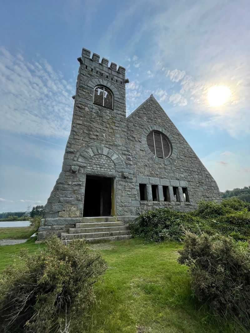
Out of everything the reservoir swallowed, one building got spared on purpose. The Old Stone Church in West Boylston was deliberately left standing.
Today it’s one of the most photographed spots in the region. That makes sense once you see a stone church perched at the water’s edge.
It sits on Route 140 in West Boylston, Massachusetts, and you can spot it from the road. That easy view makes it a favorite quick stop.
The scene works in every season. Fall leaves, snowy banks, and glowing sunsets all frame the old stone walls in different moods.
Photographers love it for good reason. A lonely church beside a huge lake tells the whole flooding story in a single picture.
Plan a visit near sunrise or sunset for softer light. Bring a little patience, since the best angles often come from walking along the shoreline.
Standing there, it’s hard not to think about the neighbors who once filled those pews. The church outlasted its town, and now it guards the memory.
Steam Trains And Strong Arms Built This Giant
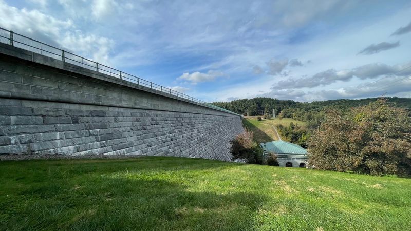
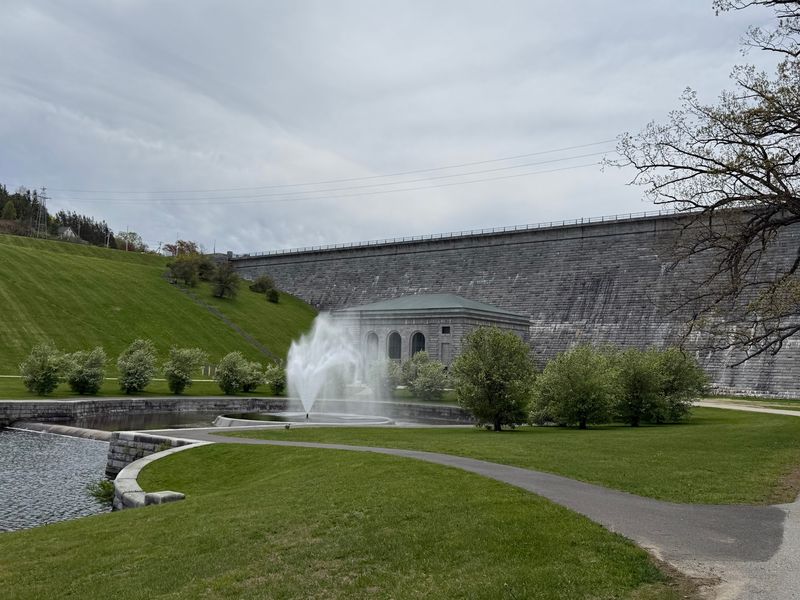
No giant modern machines did this job. The Wachusett Reservoir was built largely by hand, with steam trains hauling materials across the site.
Many workers were immigrants, mostly from Italy. They dug, lifted, and stacked their way through years of tough labor.
The Wachusett Dam in Clinton is the big showpiece of all that work. It’s a huge stone structure, and seeing it in person really drives home the effort involved.
Picture moving tons of rock without today’s equipment. Shovels, carts, and steam power had to carry an enormous load.
Those workers left a mark that still serves millions. Every glass of water from this system owes something to their sweat.
The surrounding area offers opportunities for walking and exploring, but check current public-access rules and designated routes before your visit. Next time a project feels too big, remember this one.
A crew with simple tools reshaped a whole valley in under ten years.
Once The Biggest In The World, Still A Heavyweight Today
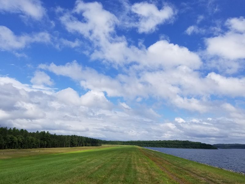
Bragging rights came with the finished project. When completed, the Wachusett Reservoir was the largest public water supply reservoir in the world.
It covers roughly 4,380 acres, about 6.5 square miles. That’s a lot of water for a man-made lake.
Today it ranks as the second-largest body of water in Massachusetts. Only the Quabbin Reservoir beats it, and Quabbin came later with its own vanished towns.
So the world title didn’t last forever. Still, holding it at all shows how bold the plan really was.
Size matters most for the job it does now. The reservoir is a key part of the Massachusetts Water Resources Authority system.
It helps provide drinking water to millions of people across Massachusetts. Water levels get carefully managed to keep everything running smoothly.
That’s a pretty impressive resume for an old lake. Next time someone in Boston fills a glass, a little of central Massachusetts may be riding along.
Lace Up Your Shoes For Trails, Fishing, And Snowshoe Days
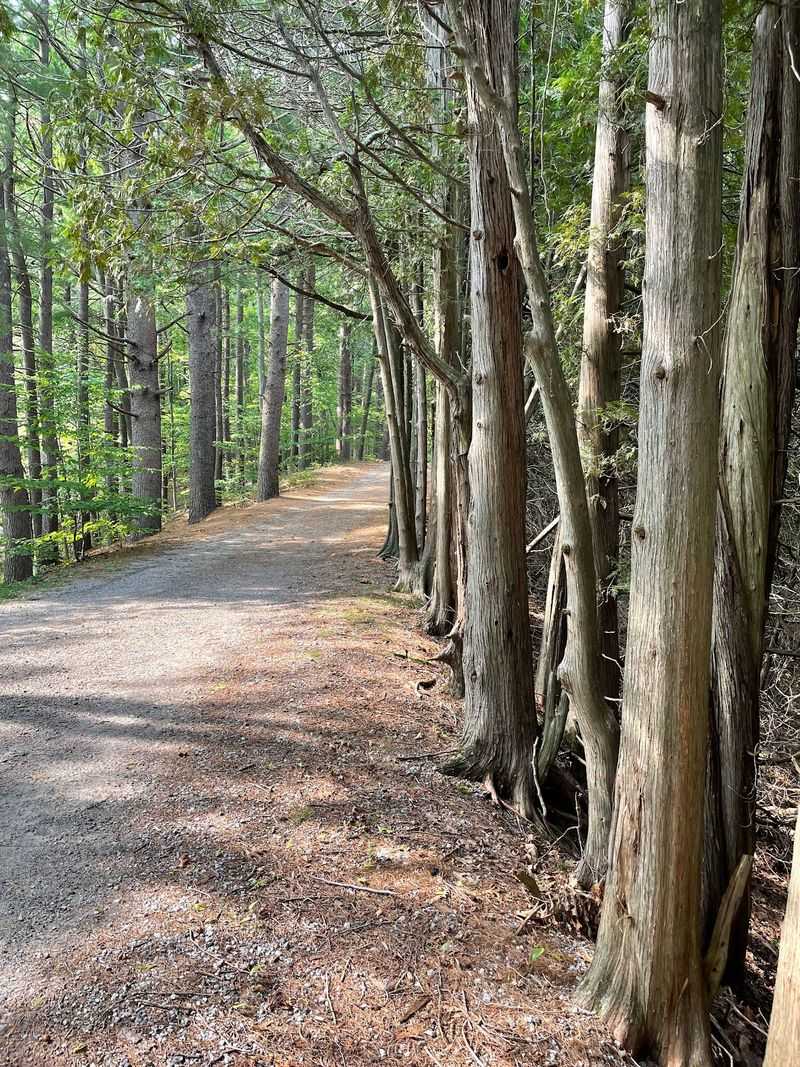
Shoreline fishing, wooded trails, and winter snowshoeing all happen around this water. It’s a peaceful playground with plenty of room to roam.
Access mostly comes through numbered gates around the reservoir. Some routes involve a longer walk before you reach the shore, so plan accordingly.
Anglers come for the fish, including lake trout. Just check current state fishing rules and seasons before you cast a line.
Hikers can choose easy forest paths or flat walks near the dam. Cyclists will find dedicated bike trails in certain areas too.
There are rules, and they matter. Dogs and swimming aren’t allowed, and boats stay off the water to protect the drinking supply.
Bug spray is a smart packing choice in warmer months. Mosquitoes and gnats can show up near the brooks and shady spots.
Every trip feels a bit different through the year. Spring wildflowers, fall color, and snowy quiet all give the place a fresh personality.
Plan A Day That Honors The Story Under The Surface
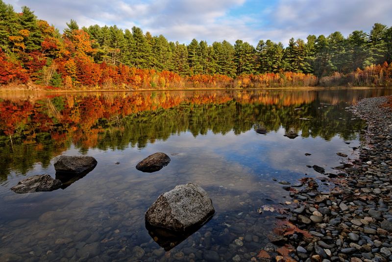
A smart visit starts at two spots. Begin at the Wachusett Dam in Clinton, then head to the Old Stone Church in West Boylston.
Together they tell the beginning and the heart of the story. One shows the engineering, and the other shows what the town gave up.
Parking can be limited at some points. Arrive early, especially on nice weekends, to grab an easy spot.
The West Boylston Historical Society keeps local history alive. Their materials help fill in details about the lost villages and their people.
Wear comfortable shoes and dress for wind near open water. Breezes off the reservoir can feel stronger than you expect.
Leave the area as clean as you found it. This is still drinking water for millions across Massachusetts, so every bit of care counts.
Before heading home, take one last look across the water. Somewhere under that shine are streets, a train stop, and a town that made it all possible.