
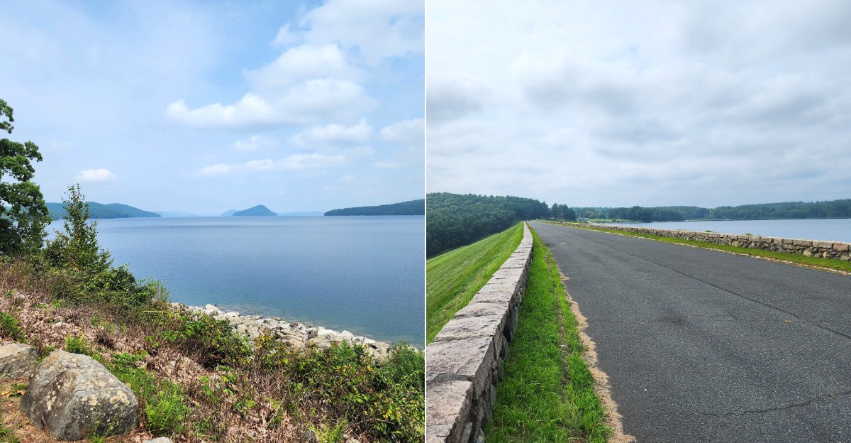
Four whole towns were erased from the map on April 28, 1938. Their names were Dana, Enfield, Greenwich, and Prescott.
Today, their old roads still run downhill and slip right into the water.
I can’t imagine packing up a town that had stood since the early 1700s. More than 2,000 people left the Swift River Valley.
Their homes, churches, and schools were moved or torn down.
Then the valley filled with water for thirsty Boston. Now this corner of Massachusetts feels calm, green, and strangely full of stories.
Stone walls wander through the woods with no farms left to guard.
I like how quiet places can hold the loudest history. You can walk those roads for free.
So what exactly is waiting under all that blue?
Meet The Four Towns That Said Goodbye In 1938
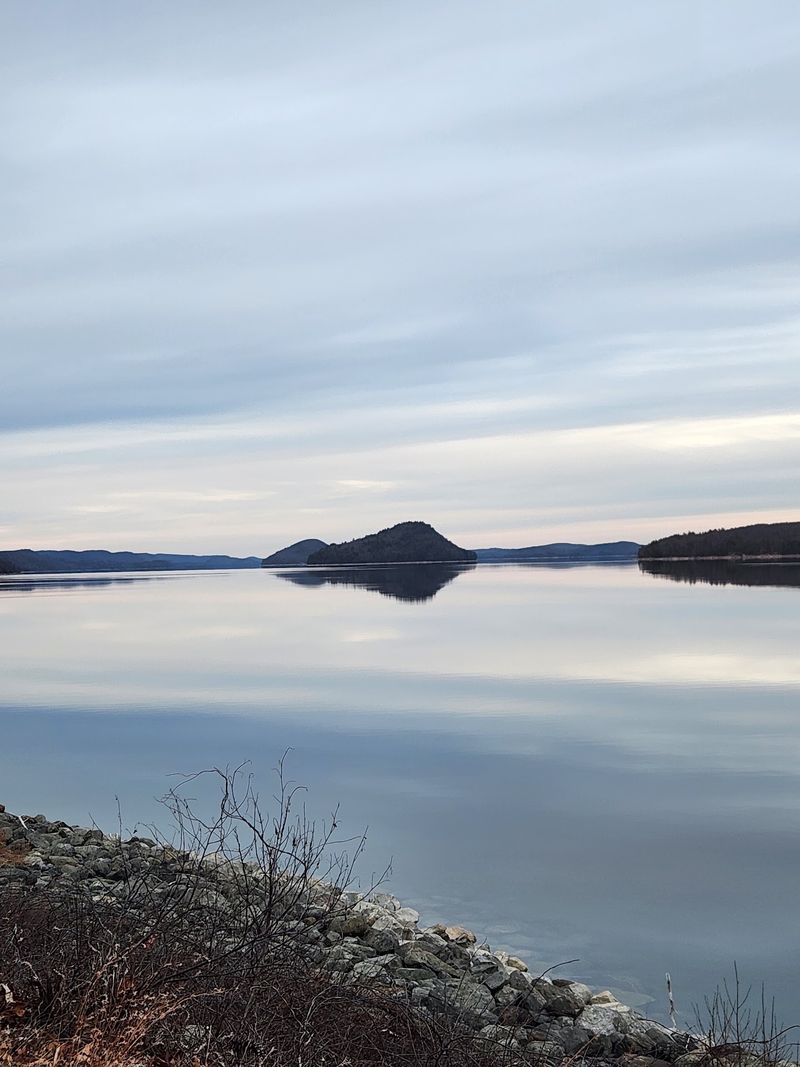
Dana, Enfield, Greenwich, and Prescott sound like names from a storybook. They were real towns, and they stopped existing on April 28, 1938.
Boston was growing fast and needed more drinking water. Talks about a new reservoir began as early as 1922.
Lawmakers moved forward with Chapter 375 of the Acts of 1926. The Swift River Act of 1927 then set a deadline for residents to relocate.
More than 2,000 people had to leave their homes. Houses, churches, schools, and businesses were moved or torn down before the flooding.
Construction wrapped up in 1939. The reservoir finally reached full capacity in 1946, so filling it took years, not days.
The valley had been settled back in the early 1700s. That’s more than two centuries of town meetings, harvests, and Sunday dinners.
Knowing these names changes how the park feels. Every stone wall suddenly belongs to someone.
Say the four names out loud before you start walking. It’s a simple way to remember the people who made this view possible, even though they never chose to.
Enfield Lookout Shows You A Town You Can’t See
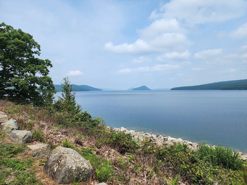
Enfield is gone completely, swallowed by water with nothing left on dry land. Oddly enough, that makes Enfield Lookout one of the most moving stops in Quabbin Park.
From the lookout, you get a wide view over the area where the town once stood. The hills are still there, but the main streets now rest far below the surface.
Bring your imagination along with your water bottle. Try picturing chimneys and church steeples where the waves now sparkle.
The scenery is a big draw for photographers. Early light or a moody cloudy sky can make the reservoir look like a painting.
Keep an eye on the sky too. Bald eagles are part of the wildlife here, and spotting one over a lost town feels pretty special.
The lookout is reachable by car when vehicle roads are open. Those hours change with the seasons, so check before you go.
Give yourself a few extra minutes here. Rushing past this view would be like skipping the last chapter of a mystery novel.
A Cemetery Built To Keep A Whole Valley Together
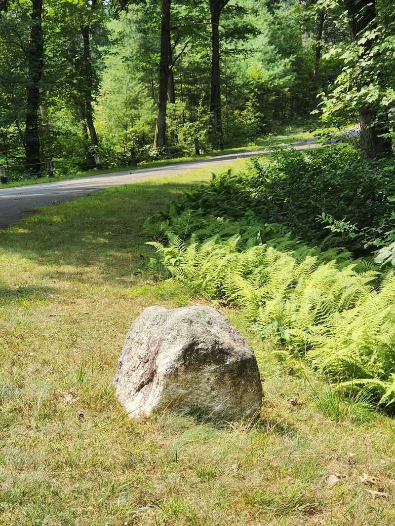
Moving houses is hard enough. The people of the Swift River Valley also had to move their family resting places.
Quabbin Park Cemetery was created between 1931 and 1932 for exactly that job. Remains of 7,613 people were moved here from 34 cemeteries across the valley towns.
You’ll find it at 557 Belchertown Rd, Ware, MA 01082, just off Route 9. It’s an easy stop on the way in or out of the park.
Look closely at the entrance. Two stone columns hold stones taken from every church in the valley.
Bronze plaques list the original cemeteries by name. Reading them feels like flipping through a guest book for an entire region.
The mood here is calm and respectful. Walk slowly, speak softly, and take your time with the old names on the stones.
Many visitors find family history here. If your roots run back to Dana, Enfield, Greenwich, or Prescott, this could be a powerful place to start searching.
Even without a personal link, the care shown here stands out. A community made sure nobody got left behind.
Stand On The Dams That Made It All Happen
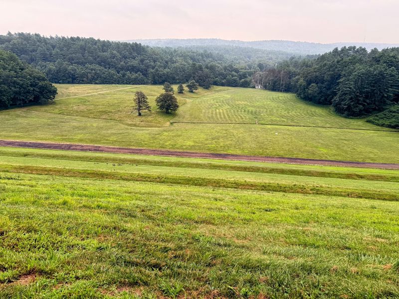
Big projects need big walls. At Quabbin Park, two of the best views come from Winsor Dam and Goodnough Dike.
Both spots hold back an enormous amount of water. The reservoir stores about 412 billion gallons, which is a number too big for most brains to picture.
It covers 39 square miles and has 181 miles of shoreline. Standing on the dam helps you finally feel that size.
Goodnough Dike has a monument and wide walking paths. Look north for open water and south for rolling forest.
Biking here is a fun option. Bicycles are allowed on designated roads inside the park, so you can cover more ground.
The dams also explain why the towns had to go. Without these walls, there would be no reservoir and no water for millions of people.
That makes the view a little bittersweet. It’s beautiful, useful, and full of history all at once.
Take a photo, then take a second to think about it. Few scenic overlooks come with this much backstory.
These Roads Lead Somewhere Surprising, Right Into The Water
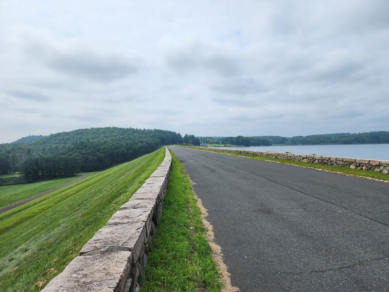
Some roads end at a stop sign. At Quabbin Park, a few of them simply walk off into the reservoir.
Quabbin Park is a 3,200-acre peninsula at the southern end of the Quabbin Reservoir in Massachusetts. It stretches between Belchertown and Ware, with three entrances along Route 9.
Those old roads once linked homes and neighbors in the Swift River Valley. Now many of them lead straight to the water’s edge, which feels a little like a sentence missing its last word.
Walking here costs nothing. The park lands open to walkers daily, from one hour before sunrise to one hour after sunset.
About 14 miles of trails and forest roads are open for hiking inside the park. That’s plenty of room to wander without repeating your steps.
Watch for cellar holes and stone walls along the way. They’re quiet clues that families once farmed, worked, and lived right where you’re standing.
Interpretive signs on many trails help fill in the blanks. Several include historical photos, so you can compare then and now.
It’s a history lesson without a classroom. The textbook just happens to be the forest floor.
Stop At The Visitor Center Before You Wander
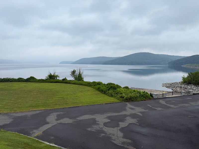
Maps beat guessing every time. The Les and Terry Campbell Quabbin Visitor Center is the smart first stop for a lost-towns adventure.
It sits near Winsor Dam at 100 Winsor Dam Rd. in Belchertown, close to the western end of the park.
Hours run from 8:30 am to 4:30 pm, Thursday through Tuesday. It’s closed on Wednesdays, so plan around that.
The center is a good place to learn the story before you hit the trails. Context makes those cellar holes far more meaningful.
Restrooms and picnic areas are available in the park. Pack a lunch and turn your history walk into a full day trip.
The park and Visitor Center close on Thanksgiving, Christmas, and New Year’s Day. Holiday hikers will need a backup plan.
One heads-up for tower fans. The observation tower is currently closed for renovations.
That still leaves plenty to see. A quick visit here means you’ll walk the old roads knowing exactly whose footsteps you’re following.
The Neighbors Now Have Fur, Feathers, And Antlers
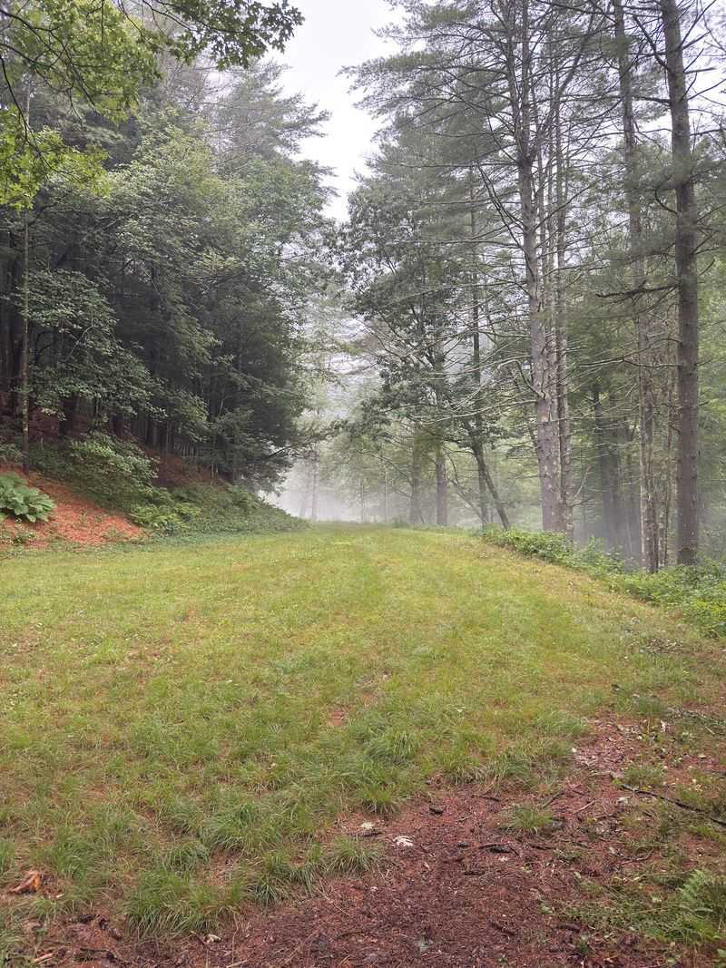
When people moved out, the wild animals moved in. Today the Quabbin area is a sanctuary for an impressive list of wildlife.
Bald eagles soar above the water. Moose, black bears, white-tailed deer, bobcats, coyotes, and foxes all call this land home too.
That makes birdwatching and photography two of the most popular things to do here. A good pair of binoculars might be your best packing decision.
Move quietly and keep your distance from any animal you see. A zoom lens is much friendlier than a close approach.
Fishing is also allowed in designated areas. Shore fishing runs seasonally through December 31, and boat fishing has its own season.
Private canoes and kayaks aren’t allowed, though. Those rules help keep the water clean.
It’s a fun twist on the story. A valley once full of farms is now one of the wildest spots in Massachusetts.
Somewhere out there, a moose is strolling down a road that once carried horse carts. History has a sense of humor.
Leave The Dog Home And Keep Your Toes Dry
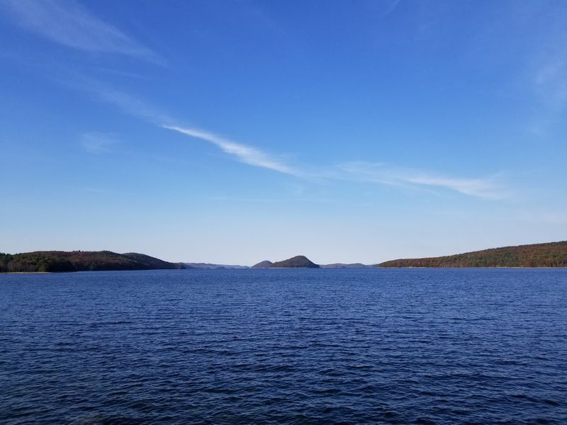
Rule number one surprises plenty of people. Dogs aren’t allowed anywhere on Quabbin Reservoir lands, including Quabbin Park.
That ban even includes dogs waiting in parked cars. So your pup gets a cozy day at home instead.
Swimming and wading are off-limits everywhere in the reservoir too. The water looks inviting, but it’s not a beach.
There’s a solid reason for all this. Quabbin is one of the largest unfiltered drinking water supplies in the United States.
It serves roughly 2.7 to 3 million people in eastern Massachusetts. Every rule helps keep that water clean enough to drink.
Think of it as being a polite guest in a giant kitchen. Nobody wants paws or feet in the water pitcher.
Vehicle access follows a seasonal schedule that shifts through the year. Walkers have longer hours than cars, so arriving on foot gives you more time.
Follow the rules and everyone wins. The towns gave up their land for this water, and protecting it feels like a fair way to honor them.
Want More Ruins? Dana Common Is Your Next Road Trip
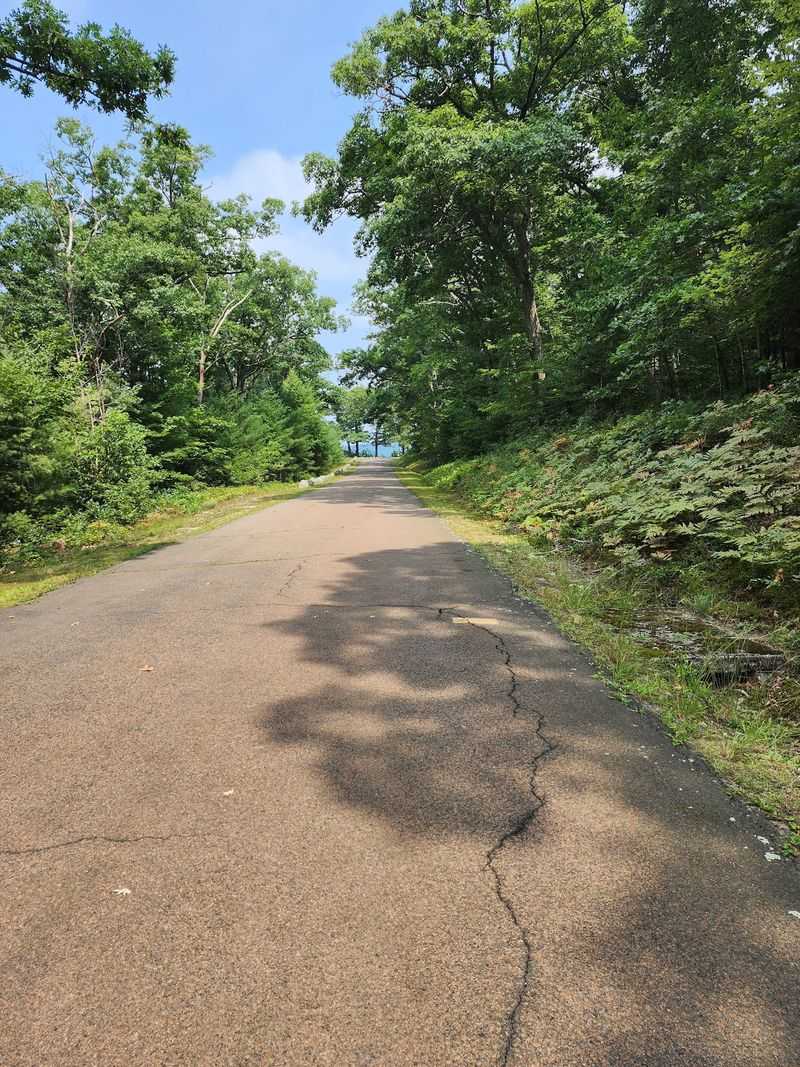
Ready for round two? Quabbin Park is a great start, but Dana Common is where the lost towns feel closest.
Dana’s town center sat high enough to stay above the water. It’s now listed on the National Register of Historic Places.
You can see foundations of old homes, the school, and the town hall. The Eagle Hotel’s foundation is there too, along with the area where the town cemetery stood.
Getting there takes a little effort. Start at Gate 40, off Route 32A in Petersham, a separate drive from Quabbin Park.
From the gate, it’s roughly a 1.7-mile walk in. Plan on about 4 miles round trip, so wear comfy shoes.
Prescott Peninsula is another piece of the puzzle. Much of the old town of Prescott is still above water, with stone foundations along its trails.
Pairing these places makes the story complete. Quabbin Park shows the water, and Dana Common shows the town square that survived it.
Bring snacks, water, and curiosity. The old roads of Massachusetts still have plenty left to say.