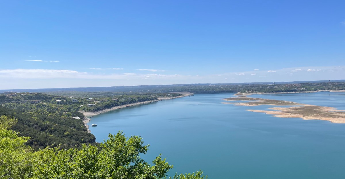
From a boat, Lake Travis looks like a place built for sunny afternoons, not a place that holds an old community beneath its water.
Before the reservoir filled, people lived and worked along this stretch of the Colorado River, including at a community called Marshall Ford, whose name once marked the river crossing and the dam project nearby.
The story is often told as if a whole town sits neatly on the lake bottom, but the truth is less tidy: homes, roads, and familiar places were lost or changed as the valley became a reservoir.
Learning what happened makes the lake more than a spot for swimming or watching the sunset, because it connects today’s views with the families who knew the land before the water rose.
The next time you look across the shore, you may find yourself wondering what an older map would show.
The Community Before the Lake
A road to the river once meant something very different here. Before Lake Travis existed, people knew parts of this valley as places to cross the Colorado River, work, and live. Marshall Ford was one of the communities tied to that older landscape.
Its name came from a river ford, a shallow place where crossing was possible when conditions allowed. A ford could shape everyday plans, from hauling supplies to visiting neighbors. The river also brought risk, because heavy rain could turn a useful crossing into a dangerous one.
It helps to picture a spread-out rural community rather than a movie-style town with a perfect grid of streets. As the reservoir filled, land connected to that community was flooded or changed. Not every building or road followed the same path beneath the water, so sweeping claims about an intact town can mislead readers.
If you want to imagine the older valley, compare historic maps with a current lake map. Look for the river channel and the low ground beside it. Those simple lines explain why people gathered near the crossing and why a rising reservoir changed their world so completely. Today’s open water can hide how practical that earlier landscape was.
Why the Water Rose
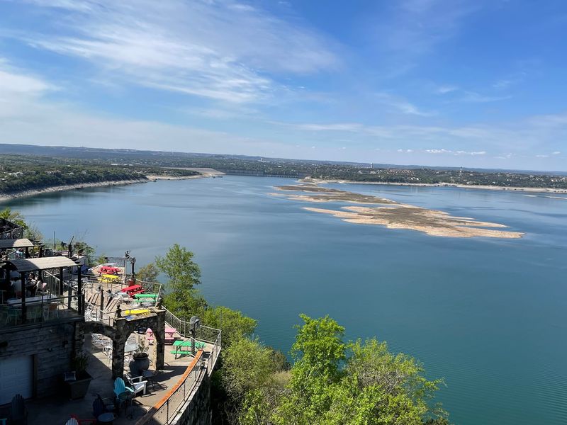
Flood control, not boating, drove the biggest change in this valley. Lake Travis formed behind Mansfield Dam, which was built across the Colorado River as part of a larger system of dams. The reservoir stores water and helps manage floods that once caused serious trouble downstream.
Building a dam also means deciding what happens to the land behind it. As water rises, low roads, fields, and homes can no longer serve their old purpose. People must adjust their plans, and the familiar shape of a valley changes on the map.
The dam was first associated with the name Marshall Ford, linking the project to the nearby crossing and community. It later received the name Mansfield Dam. That naming detail is a small clue to the history hidden in the lake’s everyday story.
When you visit, treat the dam as more than a wall holding back water. It marks a trade-off between protecting communities from floods and changing another community’s home ground. You do not need to see a roof below the surface to understand that cost. The broad water behind the dam tells the story clearly. Even a quiet afternoon there rests on a major choice made decades ago.
An Old Name on a New Map
Names can outlast the places they describe. Marshall Ford is one of those names: it recalls a crossing and a community from before Lake Travis took its present shape. Seeing it on an older map can make the shoreline feel less like empty scenery.
Start by finding the Colorado River on a historic map. Then trace its route toward the site of the dam on a modern one. The winding river helps explain why an old road or gathering place might now fall inside the reservoir’s outline.
Be careful with maps shared online, though. Water levels change, old labels can be placed loosely, and a pin on a screen is not proof that a building remains below it. Maps show the broad change best; they do not always settle the fate of each structure.
A useful family activity is to compare two maps and list what has changed. Look for bends in the river, older road routes, and areas that became coves. That small exercise turns a surprising headline into a clearer picture of real land and real lives. The past becomes easier to understand when you follow the river first.
What Lies Beneath the Surface
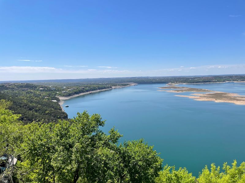
Clear water can tempt your imagination to draw streets on the lakebed. The real story is harder to see. Before the reservoir filled, the area included riverbanks, crossings, roads, private land, and the places people used every day.
Some of that ground became submerged, while other nearby areas stayed above water or changed through construction. Buildings could be removed, damaged, or left behind under different circumstances. That is why a claim that a complete, untouched town sits below Lake Travis needs strong evidence before anyone repeats it.
Water also hides the old shape of the valley. Below the surface lies the river channel that once guided travel and helped decide where people settled. A modern cove may cover land that felt ordinary to someone walking there long ago.
Curiosity is welcome, but exploring underwater ruins is not a casual lake activity. Depth, boat traffic, changing conditions, and hidden hazards make unsupervised searches unsafe. Choose historic photographs and maps instead if you want to investigate. They offer a better way to connect a named place with the people who lived there, without turning their history into a treasure hunt. The most meaningful discovery may be a clearer question, not a lost wall.
Low Water, Big Questions
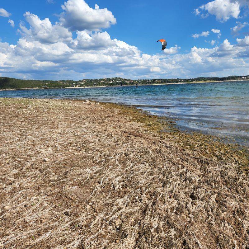
One dry season can make the shoreline look like a different place. Lake Travis has changing water levels because rainfall, drought, flood-control needs, and water use all affect the reservoir. When the lake drops, exposed ground can spark talk about what stood there before.
A newly visible slope is not automatically an old town site. Limestone, modern debris, and former shore features can look mysterious without context. Even if you spot something that seems historic, its location and age need careful checking.
For a safer visit, check current lake conditions before planning a day on the water. A ramp that worked during a high-water year may not be usable when levels fall. Keep an eye out for shallow areas if you boat, and follow posted guidance at access points.
Low water offers a good moment to ask bigger questions rather than chase dramatic finds. How did the river flow before the dam? Which areas were already high ground? Why did a crossing matter to the people living nearby? Those questions keep Marshall Ford’s history tied to the changing landscape, instead of treating each exposed rock as proof of a hidden street. A careful look can be more rewarding than a quick guess.
The Lake Visitors Know Today
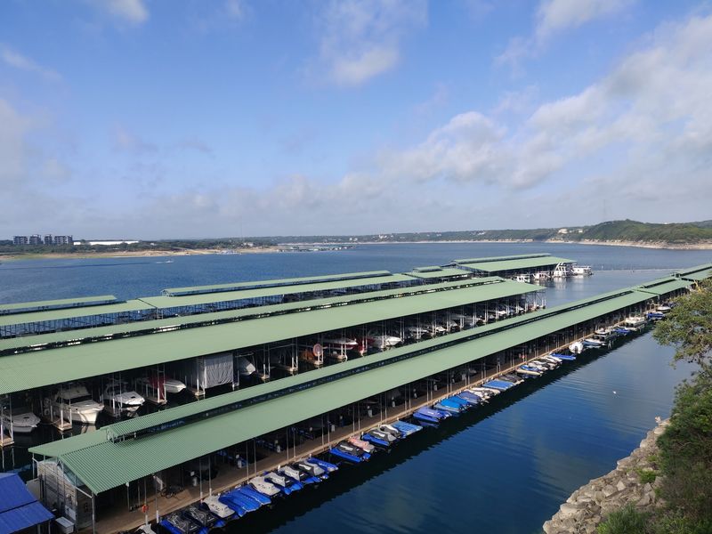
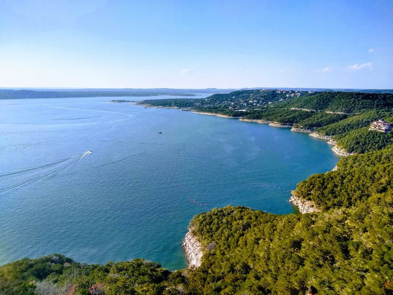
Boat wakes, paddles, and laughter now fill a valley with an older story. Lake Travis is a reservoir on the Colorado River in Texas, known for boating, swimming, fishing, and views from its hilly shores. For many visitors, a day here begins with recreation rather than history.
That does not make the past less important. Knowing about Marshall Ford adds another layer to the scene without taking away the fun. A family can enjoy the water and still talk about how building the dam changed where people could live and travel.
Plan your outing around the conditions you find, not a photograph from another season. Water levels affect access, and rocky banks can be slippery or steep. Wear a properly fitted life jacket when boating, check local rules, and choose a designated access area for your activity.
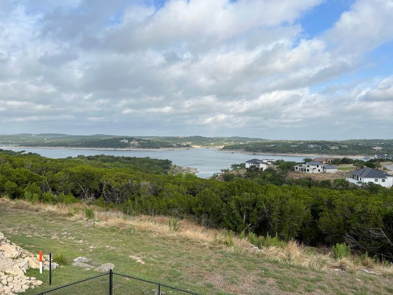
From a quiet viewpoint, notice the long coves and the land rising around them. Try to picture the narrower river that once ran through the valley. That simple comparison makes today’s wide reservoir easier to understand. The lake is a place for new memories, but its shoreline also points toward the lives that came before those memories.
How to Check the Story
A good mystery deserves more than a dramatic caption. Stories about a town beneath Lake Travis spread easily because the image is so striking. To check one, look for the community name, a date, and a source that explains exactly what went underwater.
Historic maps, local archives, and records about the dam are better starting points than an unlabeled social media photo. Compare the date of each map with the period when the reservoir formed. Watch for descriptions that mix up different lakes or turn a rural community into a fully preserved downtown.
Ask what the source actually proves. An old map can show where people lived, but it may not show whether a building was removed before flooding. A low-water photograph might show an object, yet offer no proof of its age.
Keep a simple note of names and dates as you read. If two reliable records disagree, do not force a neat answer. Explain the uncertainty instead. That approach respects the people connected to Marshall Ford and makes the story stronger. You can still enjoy the surprise while being honest about what is known and what remains unclear today.
A View With Two Histories
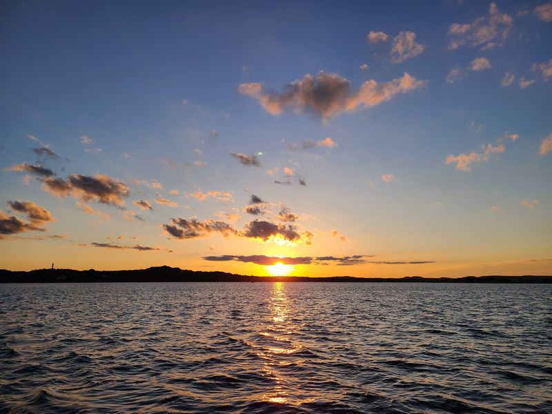
Sunset turns the lake gold, but it does not erase what came first. The waters of Lake Travis cover parts of a valley that people once crossed, worked, and called home. Marshall Ford gives that earlier world a name you can remember.
The headline picture of a whole town resting neatly underwater is tempting. The more careful version leaves room for uneven edges: a community changed, land flooded, and a river remade by a dam. That version is still remarkable because it describes a real change in people’s lives.
On your next visit, take a minute between the photographs and the fun. Look across the water and imagine a road leading toward the old river crossing. Think about how a familiar trip might have changed once the reservoir filled.
You do not have to find an object on the lakebed to feel connected to this history. A map, a place name, and a thoughtful look at the shore can do the job. Share the story with that same care: enjoy the mystery, but tell the truth behind it. The best view of Lake Travis includes both the lively lake of today and the quieter valley it replaced.