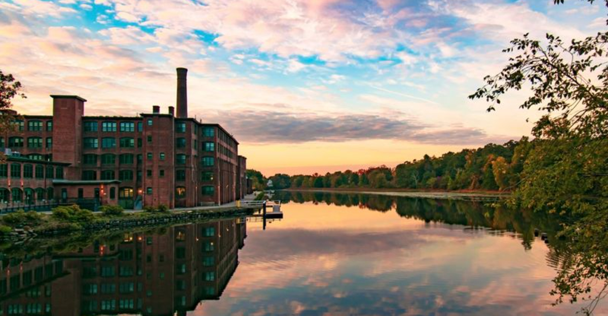
Some of Massachusetts’ best views appear beside rivers, where old mill towns, wooded banks, city skylines, and working harbors create peaceful places for an easy walk with friends or family.
Riverwalks offer room to slow down, watch birds, learn local history, and enjoy fresh air without planning a long hike or buying piles of special outdoor gear first.
From the broad Connecticut River in Springfield to the salty harbor in New Bedford, each route on this list brings its own scenery, mood, useful features, and nearby attractions.
Pack comfortable shoes, water, sun protection, and perhaps a camera, then choose a path that matches your weekend plans and start exploring Massachusetts from a calmer point of view.
1. Amesbury Riverwalk – Amesbury
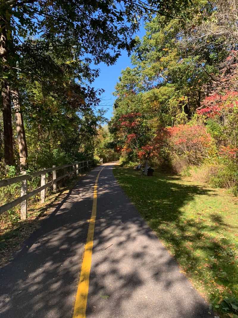
Morning light turns the Powow River silver beside the Amesbury Riverwalk, a paved rail trail linking downtown Amesbury with quiet woods and old mill views along the water for visitors.
Because the path is generally level and easy to follow, it works nicely for families, casual cyclists, dog walkers, and anyone seeking a low stress outdoor break nearby.
Historic brick buildings reveal the city’s manufacturing past, while leafy stretches provide shade, bird calls, and changing colors that feel especially inviting during autumn afternoons in New England.
Begin near the downtown area, where parking, cafes, and local shops make it simple to pair your walk with breakfast, lunch, or a sweet reward afterward for everyone.
Wear shoes with dependable grip after rain, since damp leaves and small puddles can make certain spots slippery, and remember to give passing bicycles enough space on busy days.
For a slower visit, pause near the river, listen for moving water, photograph reflections, and notice how quickly the town’s everyday noise fades behind you along the route.
2. Connecticut Riverwalk and Bikeway – Springfield
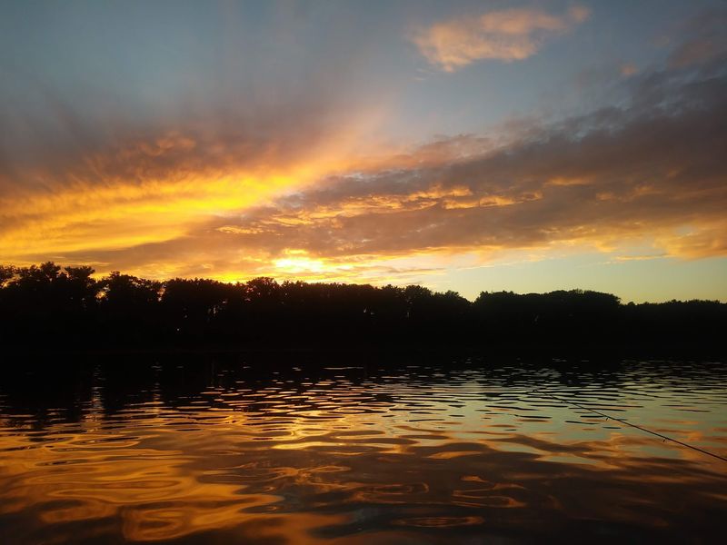
A broad river and city skyline share the stage along Springfield’s Connecticut Riverwalk and Bikeway, giving walkers an urban outing with surprisingly open views from its paved route.
The trail follows part of the Connecticut River, offering glimpses of bridges, passing boats, distant hills, and birds that hunt or rest near the shoreline throughout the year.
Access can feel less obvious than at a neighborhood park because highways and rail lines separate sections from downtown, so check current entrance information before leaving home that morning.
Once there, the smooth surface welcomes walkers, runners, and cyclists, though staying alert matters when faster riders approach or maintenance work temporarily changes the available space nearby.
Bring sun protection on bright days because several areas feel open, and consider visiting around late afternoon when softer light adds warmth to the water and Springfield skyline.
Pair the trip with Springfield museums, restaurants, or Riverfront Park, but confirm trail conditions first, especially after flooding, storms, winter weather, or major community events in the local area.
3. Housatonic River Walk – Great Barrington
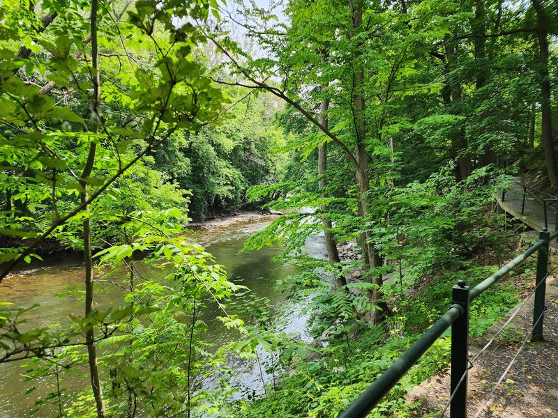
Hidden just steps from busy Main Street, the Housatonic River Walk feels like a leafy secret threaded between Great Barrington’s downtown buildings and the flowing river below nearby.
Community volunteers transformed neglected riverbanks into cared for paths, making the walk both a peaceful retreat and an inspiring lesson in local restoration for curious visitors of all ages.
Several access points lead to short trail sections, so review the official map beforehand rather than expecting one long, uninterrupted promenade beside the river through the entire town center.
Narrow passages, roots, slopes, and occasional steps require attention, making sturdy footwear a better choice than sandals, particularly after rain or when fallen leaves cover uneven ground.
Interpretive signs explain plants, wildlife, history, and river health, adding meaning to a gentle stroll while encouraging guests to respect sensitive habitat and remain on marked paths throughout.
Afterward, wander into Great Barrington for coffee, lunch, or browsing, creating an easy Berkshire day that blends nature, local culture, and small town energy without requiring much driving.
4. Ludlow Riverwalk – Ludlow
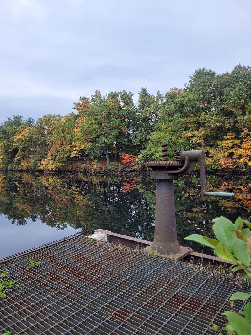
Listen closely near Ludlow’s riverfront and you may hear water, wind, and wetland birds blending together beside a route designed for unhurried neighborhood walks in every season here.
The Ludlow Riverwalk offers a convenient outdoor pause near the Chicopee River, with paths and viewing areas that help visitors appreciate scenery once shaped heavily by local industry.
Families can take their time, stopping at benches or overlooks whenever younger walkers need a break, while photographers may enjoy reflections, textured plants, and changing evening light nearby.
Conditions can vary with weather and river levels, so check town updates, respect closure signs, and avoid entering flooded or icy portions even when another section appears completely safe.
A compact visit fits easily before errands or dinner, yet moving slowly lets you spot ducks, songbirds, turtles, and other small details that hurried guests often miss along the way.
Pack insect repellent during warm, damp months, carry out every wrapper, and keep dogs leashed so this modest riverside space remains welcoming for neighbors, wildlife, and future weekend explorers.
5. Lowell Riverwalk – Lowell
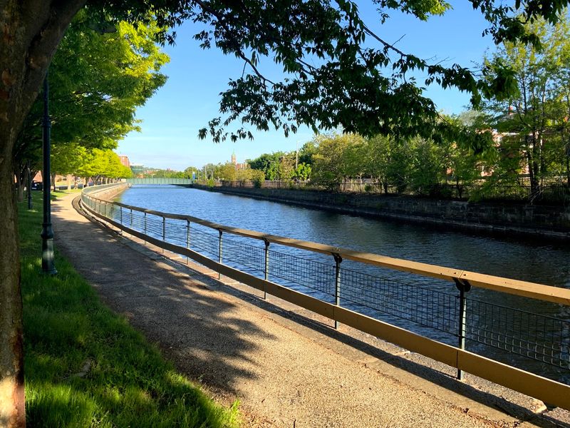
Brick mills rise beside moving water in Lowell, where riverfront paths turn an ordinary stroll into a close look at one of America’s most important industrial cities from outside.
Views may include the Merrimack River, canals, bridges, old factory buildings, and powerful water features that once helped drive the machinery behind Lowell’s textile growth for many decades.
Combine the Riverwalk with Lowell National Historical Park sites to understand how workers, engineering, immigration, and rivers shaped the community, but verify seasonal hours before planning indoor stops.
Some connected walkways, canal paths, or river sections may have separate access rules and temporary closures, so use official maps instead of assuming every visible route remains open today.
Comfortable shoes are useful on mixed surfaces, and children should stay close near water, railings, street crossings, and areas where bicycles or runners share narrow spaces with other visitors.
Save time for downtown food or museums, because Lowell rewards curiosity with layered stories, bold architecture, public art, and river scenery packed into a manageable weekend outing for everyone.
6. Quincy RiverWalk – Quincy
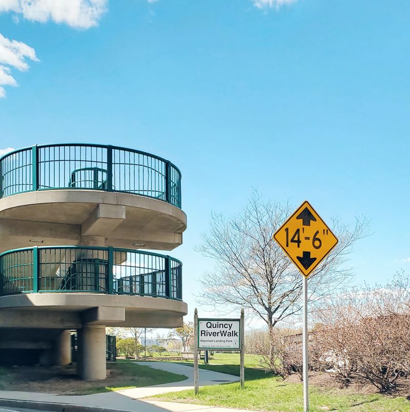
Salt air sometimes mingles with river breezes along Quincy’s RiverWalk, where coastal wetlands and developed neighborhoods meet near the Neponset River and Boston Harbor area for scenic exploration.
The route gives walkers a chance to notice marsh grasses, shorebirds, tidal changes, and boats, creating a different mood from inland paths shaded by forest trees or steep banks.
Check a local map before visiting because Quincy’s waterfront connections include distinct paths, parks, streets, and shoreline destinations rather than one simple woodland trail from beginning to end.
Binoculars can turn a casual outing into a lively birding session, especially near quieter marsh edges where egrets, gulls, ducks, or cormorants may appear during favorable tidal conditions.
Wind off the water often feels cooler than expected, so carry an extra layer during spring and fall, even when inland temperatures seem comfortable at home that same day.
Choose daylight for your first visit, watch for changing surfaces and road crossings, and finish with seafood or another local meal for an easy Quincy escape near greater Boston.
7. Waltham Riverwalk – Waltham
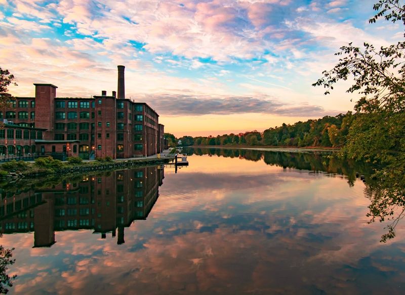
Old factories, lively restaurants, and the Charles River sit surprisingly close together in Waltham, letting visitors shift from city energy to waterside calm within just a few minutes.
The Waltham Riverwalk follows portions of the river near downtown, presenting views of bridges, dams, brick buildings, leafy banks, and wildlife adapted to a busy suburban setting.
Runners and cyclists frequently use connected paths, so keep right, listen for passing signals, and avoid blocking the route when stopping for pictures with friends or family members.
Benches and grassy areas invite pauses, while nearby Moody Street provides many choices for lunch, coffee, or dinner after fresh air builds an appetite during your riverside outing.
Spring brings rushing water and new leaves, summer offers shade, and autumn frames historic structures with color, although winter ice may require extra caution near exposed path sections.
Use public transportation when convenient, review parking signs carefully, and explore during daylight to appreciate how Waltham’s industrial history and modern community continue sharing the same river corridor today.
8. Watertown Riverfront Park and Braille Trail – Watertown
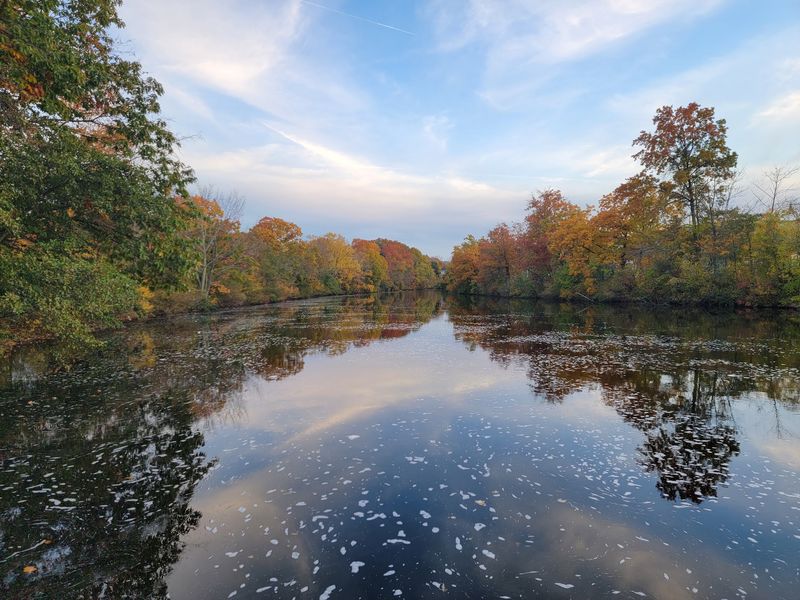
Touch becomes part of the experience at Watertown Riverfront Park, where the Braille Trail encourages visitors to explore nature through accessible signs and sensory details along the Charles River.
Wooded banks, wetland plants, bird sounds, and moving water create a restful setting within a developed area, proving that meaningful nature breaks do not require distant travel plans.
The park is especially valuable for inclusive outings, yet visitors should review current accessibility details because surfaces, construction, weather, and maintenance can affect how comfortably people move through different areas.
Allow extra time to read or feel interpretive features, listen for wildlife, and discuss what each person notices instead of treating the route as a race toward the finish.
Families can pair the trail with nearby Charles River paths, but young children need supervision around water, cyclists, and any uneven edges encountered during their visit to the park.
Bring water, use insect protection in summer, and leave plants untouched so others can enjoy a riverside space built around observation, learning, access, and shared respect for nature.
9. Spicket River Walk Park – Methuen
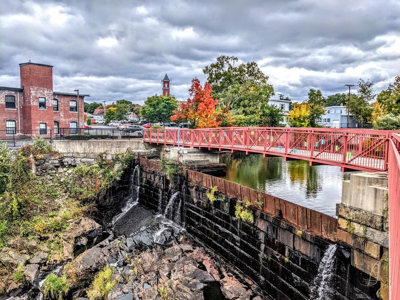
Water once powered Methuen’s mills, and the Spicket River now guides visitors past pocket parks, historic features, and community spaces woven through the city’s center on a modern walkway.
Rather than feeling like a remote nature trail, the route mixes urban scenery with trees, river views, public art, and reminders of the area’s working past for curious walkers.
Look for signs and landmarks that explain local history, since understanding the mills and neighborhoods adds depth to scenery that might otherwise seem like a simple city path.
Street crossings and separated segments require awareness, making an official map helpful for anyone hoping to follow more than one small section during a first visit to downtown Methuen.
Try an early morning walk for softer light and fewer distractions, or visit during a community event when the riverfront takes on a livelier, more social personality for residents.
Keep valuables secure, follow posted guidance, and support a nearby business afterward, turning a short walk into a relaxed exploration of Methuen’s evolving river corridor and local character.
10. New Bedford HarborWalk – New Bedford

Fishing boats, gulls, and salty wind give New Bedford’s HarborWalk a working waterfront character that feels bold, open, and unlike a traditional tree lined river path to visitors.
Built atop part of the city’s hurricane barrier, the walkway provides elevated views across New Bedford Harbor, nearby communities, industrial activity, and waters leading toward Buzzards Bay beyond.
There is little shade on exposed sections, so sunscreen, water, sunglasses, and a wind resistant layer can make the experience far more comfortable during bright or breezy weather.
Clouds and sunsets produce dramatic photographs, while binoculars help reveal distant boats and seabirds without leaning over barriers or entering restricted areas along the active harbor edge nearby.
Combine the walk with the New Bedford Whaling Museum or historic downtown, where maritime stories explain why the harbor remains central to the city’s identity and daily life.
Before driving over, confirm access, parking, and weather conditions, since construction or severe coastal conditions can affect an outing on infrastructure designed to protect the waterfront from storms.
11. Riverfront State Park – Lawrence
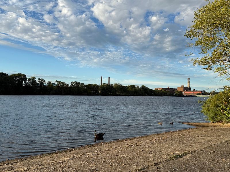
The Merrimack River runs wide beside Riverfront State Park in Lawrence, setting a spacious backdrop for walking, resting, exercising, and watching the city move at its own pace.
Open lawns and paved areas make the park useful for casual outings, while river views connect today’s recreation with the waterway that powered Lawrence’s famous textile mills nearby.
Bring a ball, picnic, or book if your group wants more than a walk, and choose a shady resting place during hot summer afternoons near the water’s reflective surface.
Visitors interested in history can continue toward Lawrence Heritage State Park and downtown landmarks, building a fuller picture of immigration, labor, industry, and community life through different stops.
As in any urban park, remain aware of your surroundings, secure belongings, follow posted hours, and check recent local information before visiting an unfamiliar section alone after dark.
Late afternoon often delivers attractive light over the Merrimack, making a simple loop feel memorable while restaurants and cultural destinations offer plenty of reasons to stay in Lawrence.