One Georgia road delivers waterfalls, mountain peaks, and jaw-dropping views before you even realize how far you’ve traveled.
The Russell-Brasstown Scenic Byway winds for 41 miles through North Georgia, slipping into the Chattahoochee National Forest and climbing through some of the state’s most dramatic mountain country.
Along the way, waterfalls tumble beside forest trails, overlooks open toward endless layers of blue ridges, and quiet stretches of road make every bend feel like another postcard waiting to happen.
You can keep the windows down and enjoy the drive, stop for photos, or turn the trip into a full day of hiking and exploring.
From Brasstown Bald to rushing mountain creeks, this route packs an astonishing amount of scenery into a single unforgettable ride.
Brasstown Bald – Stand Above Georgia at Its Highest Point
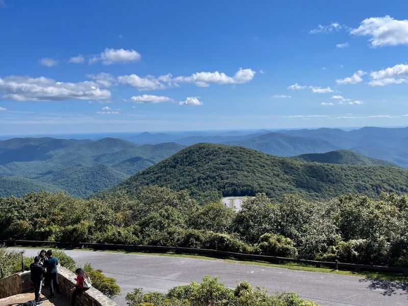
Standing at 4,784 feet, Brasstown Bald towers over every other natural point in Georgia. The summit delivers sweeping mountain views that, on exceptionally clear days, can reach all the way to Atlanta’s distant skyline.
Reaching the observation deck requires either a short but steep paved trail or a shuttle ride from the parking area. Once you arrive at the top, 360-degree views reward your effort with layers of blue-green ridges rolling toward four different states.
The summit area includes interpretive displays explaining the geology and ecology of the Southern Appalachians.
Fall transforms Brasstown Bald into one of Georgia’s premier leaf-peeping destinations. The elevation means cooler temperatures arrive early, triggering brilliant reds and golds before the valleys below begin changing.
Spring wildflowers and summer greenery also make the climb worthwhile.
Access from GA 180 makes this the obvious centerpiece of any Russell-Brasstown drive. Plan extra time for the summit experience, especially if weather conditions look promising for those long-distance views.
Raven Cliff Falls – Chase a Waterfall Through the Forest
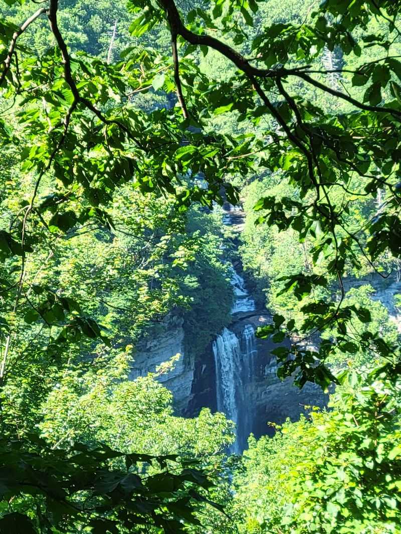
Raven Cliff Falls drops through a distinctive split in the rock, creating one of the most dramatic waterfall scenes along the entire byway. Getting there means committing to a real hike, not just a quick roadside stop.
The trail follows Dodd Creek upstream for about 2.5 miles through thick forest. Along the way, you’ll cross wooden bridges and navigate sections where tree roots create natural steps.
The route gains elevation steadily but never feels too steep for determined hikers.
What sets this waterfall apart is the wilderness setting. Raven Cliffs Wilderness surrounds the trail, meaning no development, no paved paths, and no shortcuts.
The wild character makes the experience feel more remote than the actual distance suggests.
Water volume varies dramatically with recent rainfall. After storms, the falls roar through the rock gap with impressive force.
During drier periods, the flow becomes gentler but reveals more of the interesting rock formation.
Bring sturdy shoes, pack water, and allow three to four hours for the round trip including time at the falls.
Dukes Creek Falls – A Short Hike to a Mountain Cascade
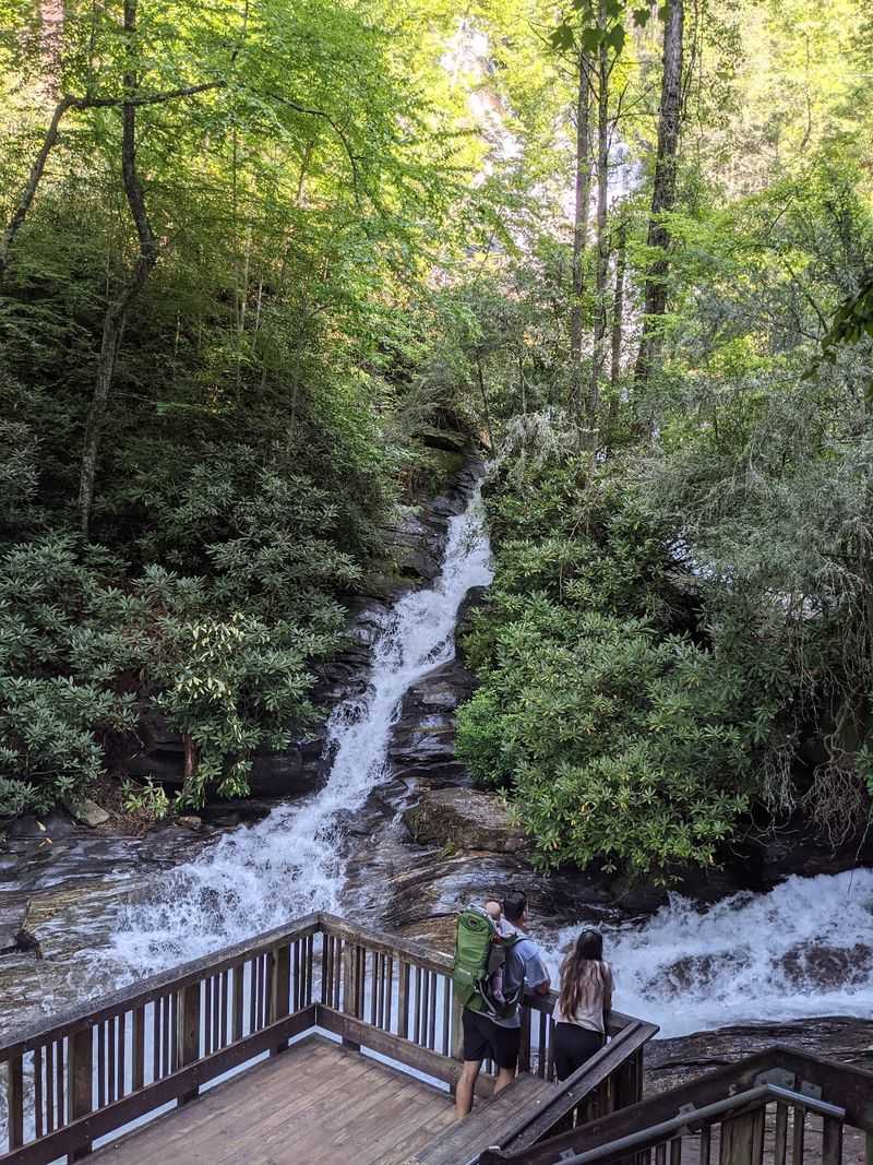
Dukes Creek Falls proves you don’t need an all-day trek to experience a beautiful North Georgia waterfall. The nearly two-mile round trip descends through hardwood forest toward a multi-tiered cascade that drops about 150 feet down the mountainside.
Explore Georgia specifically recommends this stop along the byway, and for good reason. The trail balances accessibility with genuine mountain scenery, making it ideal for travelers who want more than windshield views without committing to serious backcountry miles.
Wooden stairs and viewing platforms help manage the elevation changes while keeping the experience safe for most fitness levels.
Dukes Creek itself provides constant companionship as you descend. The sound of rushing water grows louder with each switchback.
Multiple viewpoints let you see the falls from different angles, with the lower platform offering the most dramatic perspective.
Remember that going down means coming back up. The return climb gains several hundred feet, so pace yourself and take breaks.
Most visitors complete the entire hike in about an hour, though photographers often linger longer.
Anna Ruby Falls – See Two Waterfalls Meet
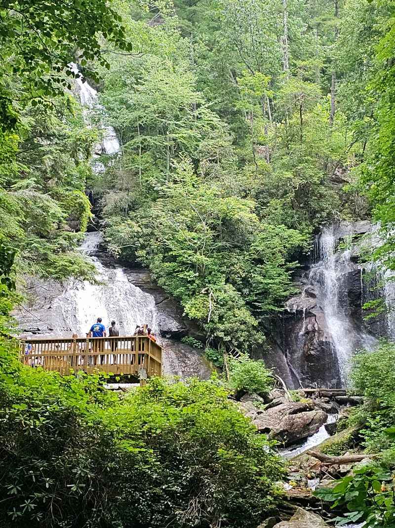
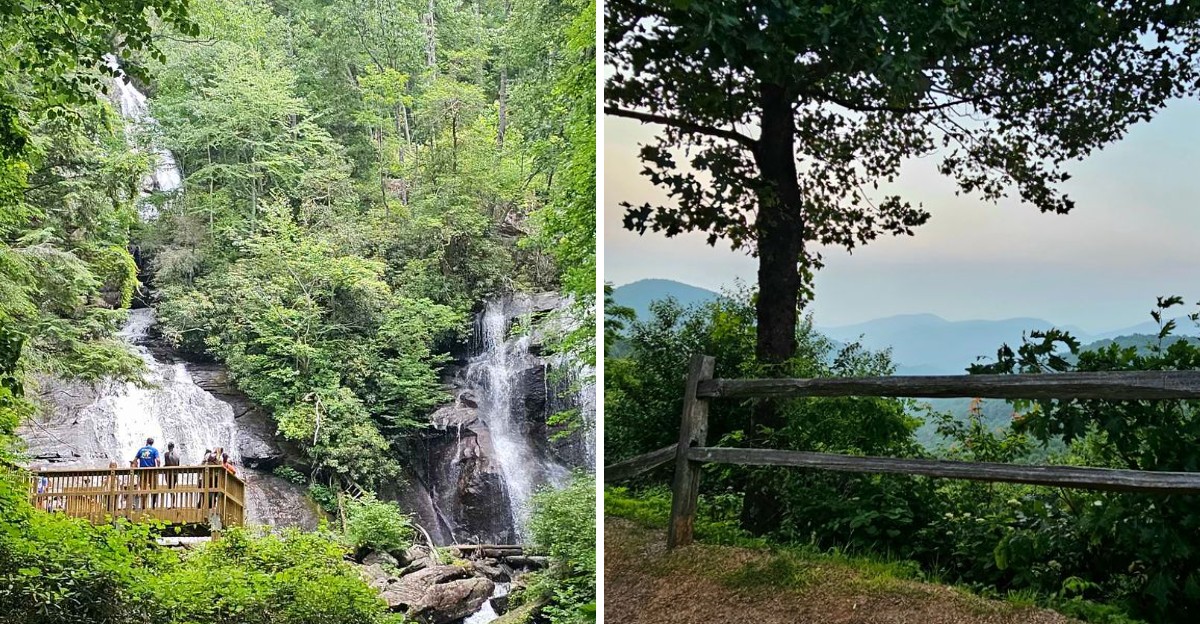
Curtis Creek and York Creek tumble down from different directions before meeting in a spectacular twin cascade. Anna Ruby Falls captures this convergence in one of North Georgia’s most photographed waterfall scenes.
The paved half-mile trail makes this waterfall unusually accessible. Families with young children, visitors using wheelchairs, and anyone who prefers easier terrain can all reach the falls without difficulty.
The smooth surface winds through forest alongside the creek, crossing a footbridge before reaching the main viewing area.
Both waterfalls drop from considerable heights, with Curtis Creek falling about 153 feet and York Creek tumbling roughly 50 feet. The combined effect creates impressive volume and sound, particularly after heavy rain.
Even during drier periods, the dual cascades maintain enough flow to remain visually striking.
Located near Unicoi State Park, Anna Ruby Falls works perfectly into a longer day exploring the southern portion of the Russell-Brasstown area. The nearby town of Helen provides dining options and lodging.
Parking requires a small fee, and the site can get crowded on pleasant weekend afternoons.
Hogpen Gap – Pull Over for Wide-Open Mountain Views
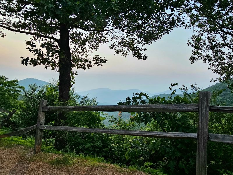
Hogpen Gap sits at 3,480 feet elevation, where the Russell-Brasstown byway crosses a high mountain saddle. Pull into the parking area and you’ll immediately understand why this spot matters.
The ridgelines stretch in every direction, creating the kind of layered mountain horizon that makes Georgia’s high country feel vast.
This gap serves as an access point for the Appalachian Trail. White blazes mark where the famous footpath crosses the road, offering opportunities for short ridge walks or longer treks depending on your ambition.
Even a brief stroll along the trail provides different perspectives on the surrounding peaks.
Photographers particularly appreciate Hogpen Gap during fall color season. The high elevation means leaves turn earlier here than in the valleys, and the open vistas let you see the transformation spreading across multiple ridges simultaneously.
Sunrise and sunset both deliver excellent lighting conditions.
The gap also experiences weather that can shift quickly. Mountain fog might roll in unexpectedly, transforming clear views into mysterious gray swirls.
Check conditions before visiting, but don’t skip this stop.
High Shoals Creek Falls – Find Two Falls in One Forest Stop
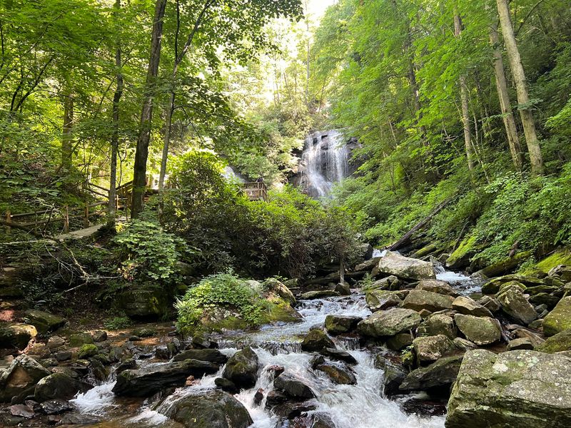
High Shoals Creek delivers a bonus waterfall experience for travelers willing to venture slightly off the main byway route. The official scenic byway materials identify the High Shoals Creek Falls Scenic Area as a key natural attraction, recognizing the double-waterfall reward waiting at trail’s end.
The loop trail covers about 1.2 miles through the Swallow Creek Wildlife Management Area. Forest surrounds you immediately, creating that sense of stepping away from roads and overlooks into a quieter natural setting.
The path follows the creek upstream, with the sound of moving water guiding you forward.
Two distinct waterfalls wait along the route. The first appears as the trail approaches, dropping in a silver ribbon through the trees.
Continue around the loop and the second cascade reveals itself from a different angle. Neither reaches the dramatic heights of some other North Georgia falls, but the peaceful forest setting and the two-for-one experience make the hike worthwhile.
This stop works well for a full-day Russell-Brasstown itinerary when you want variety beyond the more popular waterfall destinations.
Chattahoochee National Forest – The Forest Is Part of the Attraction
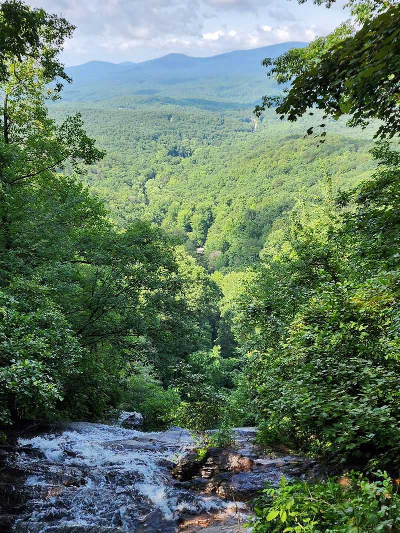
Between the named attractions and famous overlooks, something important happens on the Russell-Brasstown Scenic Byway. The road itself becomes the experience.
Much of the 41-mile loop winds through Chattahoochee National Forest, where protected wilderness and managed forestlands create continuous mountain scenery. Dense stands of hardwoods crowd the roadside in summer, their canopy creating tunnels of green overhead.
Mountain gaps appear and disappear as the route climbs and descends through changing elevations.
Streams cross under the pavement regularly, sometimes visible through gaps in the trees. Wildlife possibilities include white-tailed deer, wild turkeys, and black bears, though actually spotting animals requires patience and luck.
The forest changes character with the seasons: spring brings flowering dogwoods and mountain laurels, fall delivers spectacular color shows, and winter reveals the underlying mountain structure.
This immersive forest experience explains why the drive works even without stopping at every overlook or trailhead. The journey through the trees matters as much as the destinations.
Keep your speed moderate, watch for curves, and let the forest scenery unfold naturally.
Appalachian Trail – Walk a Piece of Georgia’s Famous Ridgeline
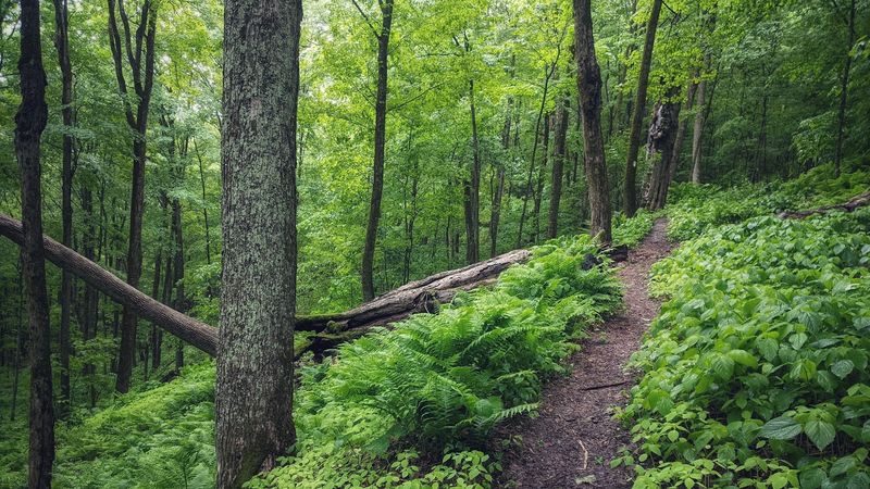
The Russell-Brasstown area intersects with Georgia’s section of the Appalachian Trail, giving road-trippers a chance to sample America’s most famous long-distance footpath. You don’t need to be a thru-hiker to appreciate what the trail offers.
Hogpen Gap provides the most convenient access point from the byway. White rectangular blazes mark the trail as it crosses the road, heading north toward North Carolina and south toward Springer Mountain.
Short walks in either direction deliver authentic Appalachian Trail experiences without requiring backpacking gear or multiple days.
Walking even a mile along the ridgeline reveals why the trail attracts so many devotees. The elevation provides excellent views when the forest opens up.
The path follows natural contours, sometimes climbing steeply, other times rolling gently along high ground. Trail shelters appear at intervals, offering glimpses of the thru-hiking lifestyle.
Come prepared with good shoes, water, and awareness of your fitness level. The trail can be challenging, with rocky sections and significant elevation changes.
But experiencing even a small piece adds perspective to the byway journey.
Vogel State Park – Slow Down Beside the Mountain Lake
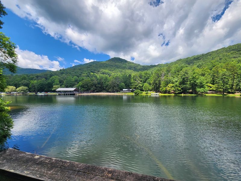
Vogel State Park shifts the byway experience from dramatic overlooks and waterfalls to relaxed lakeside recreation. Georgia’s transportation information specifically highlights Vogel as one of the key recreation areas accessible from the route, recognizing its role in creating a more complete mountain adventure.
Trahlyta Lake sits at the heart of the park, surrounded by mountains and offering calm water perfect for fishing, swimming, or simply sitting on the shore. The 22-acre lake never feels crowded even during busy seasons.
Paddleboats and canoes provide quiet ways to explore from the water.
Beyond the lake, Vogel features an extensive trail system connecting to other byway attractions. The park also offers developed camping facilities for visitors who want to turn their scenic drive into a multi-day experience.
Picnic areas scattered throughout provide spots for lunch with mountain views.
The combination of easy access, diverse activities, and family-friendly facilities makes Vogel an excellent stop for travelers who want more than quick roadside viewpoints. It’s a place to slow down and settle in rather than just snap photos.
Helen & Unicoi State Park – Finish the Mountain Drive With a Town-and-Lake Escape
The southern end of the Russell-Brasstown byway brings travelers near Helen, where North Georgia mountains meet Bavarian-themed architecture. The town’s Alpine-inspired character creates an unexpected transition after miles of forest and wilderness.
Helen offers restaurants, shops, and lodging options that work perfectly for extending a day drive into an overnight trip. The pedestrian-friendly downtown area clusters around the Chattahoochee River, with buildings designed to evoke a German mountain village.
Whether the theme appeals to you or not, the town provides practical amenities after hours on mountain roads.
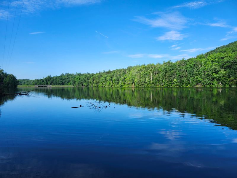
Unicoi State Park sits just minutes away, adding another lakeside recreation opportunity to the byway experience. Hiking trails, fishing access, camping facilities, and Unicoi Lake itself create options for active visitors.
The park’s lodge offers comfortable accommodations for those who prefer beds to tents.
This combination of mountain town and state park creates a satisfying finish to the 41-mile loop. You can grab dinner, book a room, and plan the next day’s adventures knowing more North Georgia beauty waits nearby whenever you’re ready to explore again.