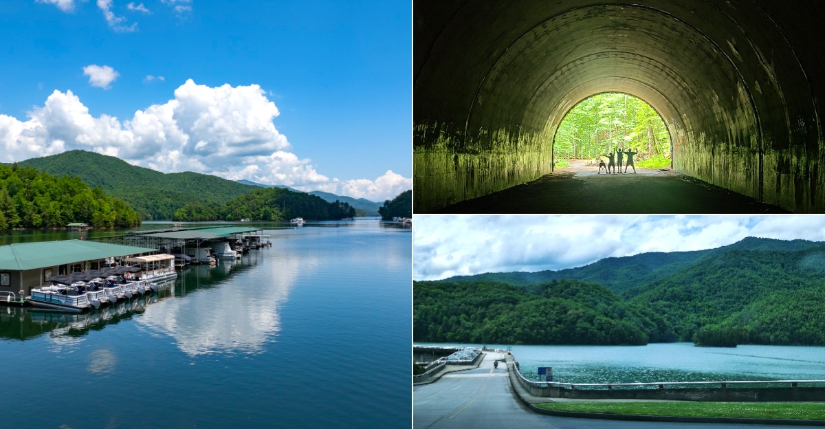
On a calm morning, mist rises off the water while the mountains fold into each other in every shade of blue and green.
Fontana Lake stretches along the southern edge of Great Smoky Mountains National Park in western North Carolina.
It looks perfectly peaceful today, but the lake holds a surprising secret beneath its surface.
When Fontana Dam was built during World War II, the rising water swallowed small communities that once dotted the valley.
In seasons when the water level drops, traces of old roads and foundations can sometimes peek back into view.
Come for the scenery, stay for the stories, and you will never look at a quiet mountain lake the same way again.
The Mountain Lake Behind the Headline
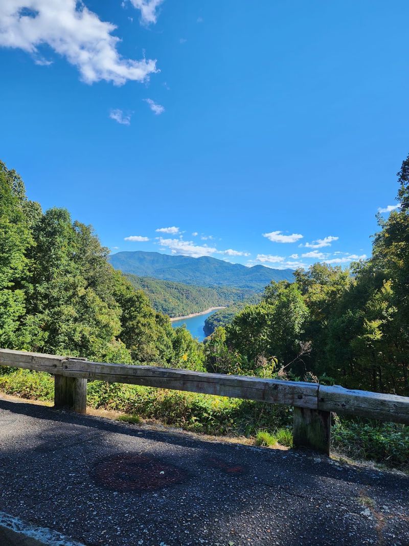
A bend in the road opens onto blue water framed by thick green hills. From a quick overlook stop, the scene seems peaceful and simple.
Yet Fontana Lake, North Carolina, has a past that is easy to miss from the highway.
The lake sits in the mountains of western North Carolina, near Great Smoky Mountains National Park. Drivers should expect winding mountain roads rather than the gentler landscape found farther east.
Allow extra travel time, especially if you want to stop for photos instead of rushing past each view.
Built by damming the Little Tennessee River, the reservoir stretches through long, narrow arms between wooded slopes. Its size can make two nearby viewpoints look surprisingly different.
One may show a broad sweep of water, while another faces a quiet cove. For an easy first visit, pick a legal overlook or public access point before leaving home.
Cell service can be weak, so save directions offline and check access hours. Keep your eyes on the road until you reach a safe parking spot.
The best way to notice the lake’s hidden history starts with slowing down, not stopping on a narrow shoulder. Once parked, take a moment to picture the valleys before they filled with water.
A Town Called Proctor
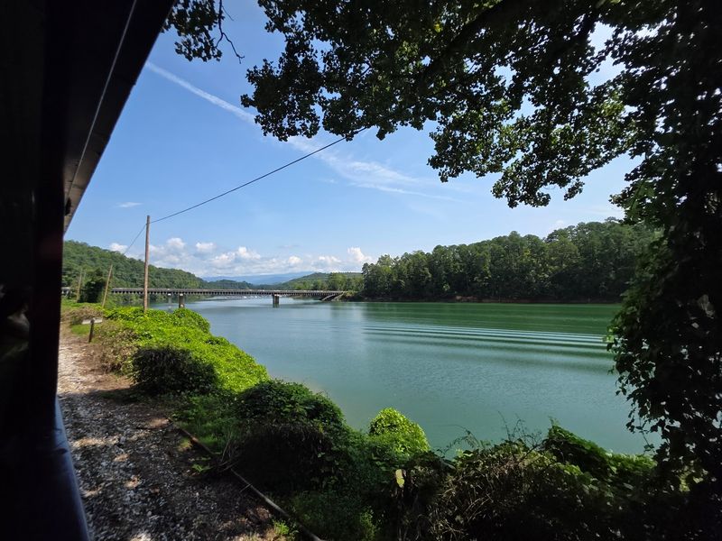
Imagine hearing a train where the shoreline is quiet today. Proctor was once a working community in the valley now affected by the reservoir. People raised families there, and a lumber operation helped shape daily life. The name is more than a spooky detail for a travel story.
When the dam project changed the valley, residents could no longer live there as they had before. Water covered parts of the former town area, while other traces remained on higher ground. Calling Proctor a sunken ghost town captures attention, but it can create the wrong picture. Visitors should not expect an intact town sitting neatly beneath clear water.
Look instead for the human story behind the label. Homes, work, neighbors, and familiar routes once connected this place. If you explore historical information before visiting, old maps can help you understand where people lived in relation to today’s shore. Treat any remains you encounter as part of a community’s history, not as souvenirs. Leave objects where they are and follow posted rules on trails and public land. For families, Proctor offers a useful question to discuss: what would it feel like if the place you called home became a lake? That thought makes the view less mysterious and far more meaningful.
The Dam That Changed the Valley
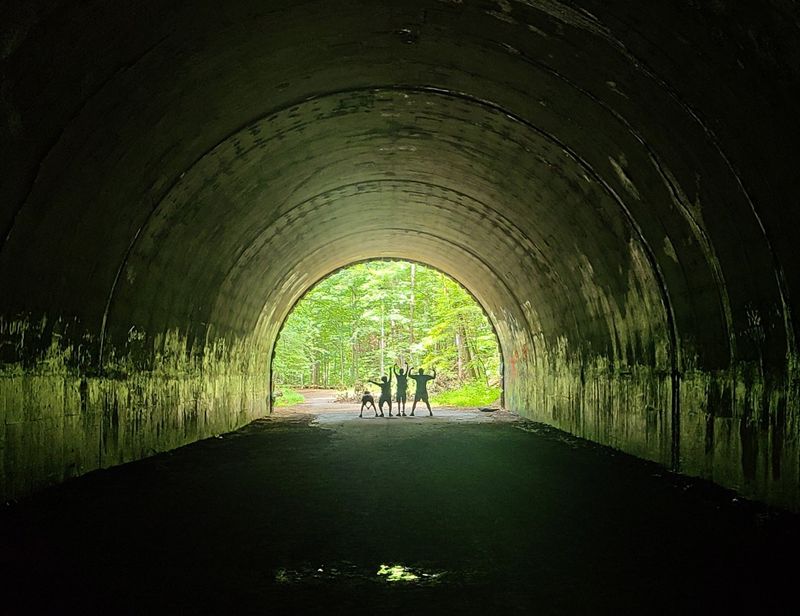
Concrete rises where a river once ran freely through the valley. Fontana Dam created the reservoir during World War II, changing the land on a huge scale. The project supplied power at a time when wartime industries needed it. Its benefits came with a lasting cost for communities whose homes and routes were affected.
At about 480 feet tall, the dam is an easy place to grasp the size of the project. Stand at an approved viewing area and compare its height with the surrounding hills. The wall is striking, but the water held behind it tells only part of the story. Former roads, farms, and community spaces did not simply vanish from people’s memories when the reservoir filled.
If you visit the dam, check current public access details before setting out. Rules, visitor facilities, and opening times can change. Stay behind barriers, supervise children, and never climb restricted structures for a better photograph. A short visit works well for travelers who are not planning a boat trip. Bring a light jacket if the weather looks uncertain, since mountain conditions can shift quickly. After seeing the concrete up close, look back toward the lake. That change in viewpoint helps connect a useful engineering project with the personal losses that came with it.
What Lies Below, and What Does Not
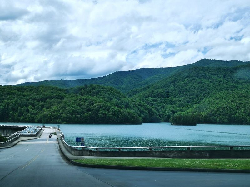
A still surface can make the past feel close enough to see. In reality, the lake does not offer a clear window onto streets lined with untouched buildings. The former townsite was changed by flooding, time, and changing water levels. Some related places lie above the waterline, while other parts of the old valley are submerged.
That distinction is useful when you hear the phrase sunken ghost town. It describes a lost community, not a ready made underwater sightseeing route. Trying to locate ruins from a boat without reliable information can be frustrating and unsafe. Low water may expose muddy banks or old features, but exposed ground does not mean it is safe to cross.
For a more rewarding visit, pair a view of the lake with a careful look at the area’s history. Read trustworthy park or local history materials, and compare historical maps with present day shorelines. Photos taken before the reservoir filled can show how much the landscape changed. Never enter closed areas, disturb possible artifacts, or assume that a visible foundation is open for exploration. Even without a dramatic underwater view, the contrast between today’s quiet water and the former valley gives the place its power. Knowing what you are looking at makes the scenery more interesting.
The Cemetery Above the Water
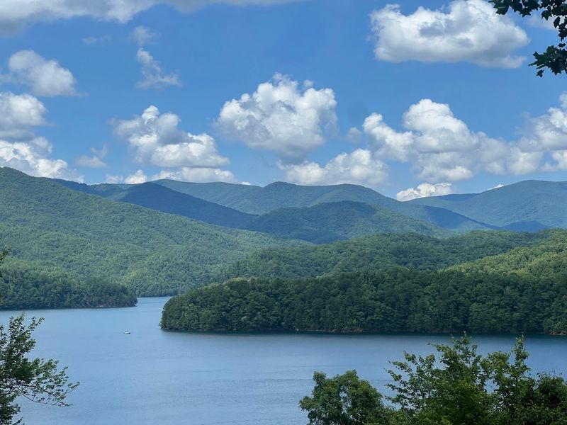
Some of the strongest reminders of a lost town are not underwater at all. Graves connected to the former community remain on higher ground. They show that the story is about real people, not just a strange image for passing drivers. For descendants, these places can hold family memories that reach well beyond a visitor’s afternoon trip.
Access to old cemeteries in the area has been an important issue for families over the years. Shoreline changes and limited road access have made visits more complicated than an ordinary drive. A cemetery is also different from an abandoned building: it is a place for respect, even when no one else is present. Keep voices low, stay on established routes, and do not touch stones or leave litter.
If cemetery history interests you, learn which sites are publicly accessible before you travel. Do not assume that every path from the water is open or easy to follow. Wear sturdy shoes, carry water, and allow more time than a map might suggest. Families with children can use the visit to talk about why names and dates on stones matter. Each marker records someone whose life was part of the valley’s story. That simple connection often stays with visitors longer than any ghost town rumor.
A Boat Ride With a Map
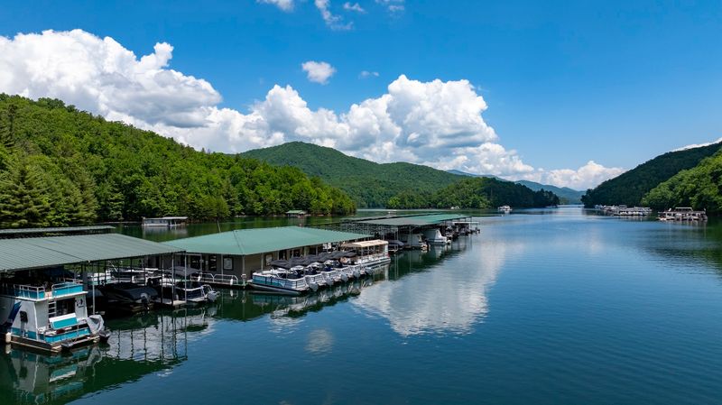
From shore, the water can look like one broad stretch of blue. From a boat, it becomes a maze of long coves and wooded points. That shape makes a ride exciting, but it also makes preparation more important than many first time visitors expect.
Bring a current lake map or reliable offline navigation, even if you plan to stay near a marina. Check the weather and your fuel before leaving the dock. Wear a properly fitted life jacket, follow boating rules, and tell someone when you expect to return. Keep a respectful distance from other boats, swimmers, and the shoreline. Mountain storms can arrive quickly, so head back when conditions begin to change rather than waiting for heavy rain.
A rental pontoon can be a comfortable way for a group to enjoy the views. Kayaks and canoes offer a slower trip, but paddlers must be ready for wind, distance, and boat traffic. Neither choice guarantees a view of submerged town remains. The better goal is to understand the scale of the former valley while enjoying the water safely. Pause in a suitable spot and imagine how far someone once traveled between home, work, and neighbors. A map makes that history easier to picture and helps you find your way back.
Shore Paths and Changing Water
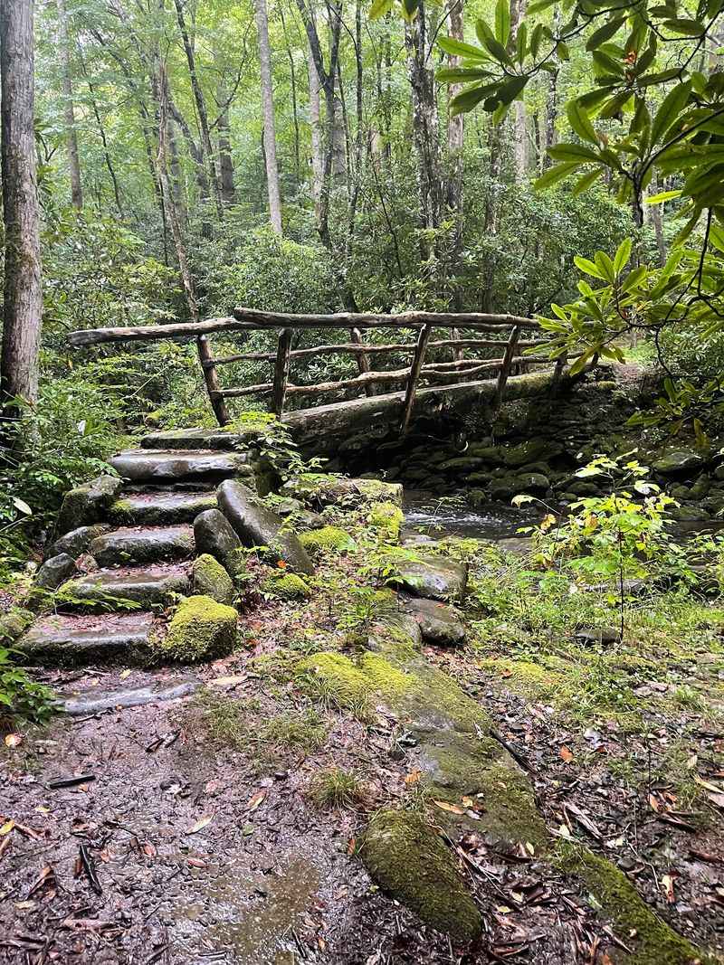
A lakeside walk may reveal more history than a quick photograph ever could. Trails near the reservoir offer views of coves, ridges, and stretches of shoreline that change through the year. Some routes are long or remote, so choose one that fits your time and walking ability.
Water levels can fall well below their summer appearance. When that happens, muddy banks may appear where you expected an easy landing or a pleasant place to sit. Do not cross deep mud to reach an exposed object. It can be slippery, and the water’s edge may shift again. For a hike, check trail conditions, carry drinking water, and bring a map that works without cell service.
Pay attention to where the trail sits above the lake. A high viewpoint can help you see how the flooded valley connects with the surrounding slopes. Lower down, the changing shore hints at how different the landscape looked before the dam. Keep any historical features as you found them so the next person can learn from them too. If the path is rough, turn around before tired legs make the return difficult. The reward is not finding a secret shortcut to a ghost town. It is having enough time and attention to notice what the land still tells you.
Plan a Stop That Honors the Story
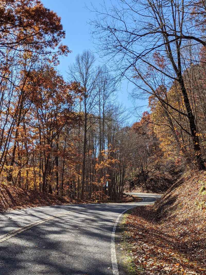
Not every meaningful visit needs a boat, a long hike, or a full day. A safe overlook, a little background reading, and a few quiet minutes can change how you see the lake. Start by deciding whether your main goal is scenery, local history, or time on the water.
Check official access information before leaving, since facilities and conditions can change. Save directions offline, bring water, and plan for slower mountain driving. If you have only a short stop, choose one public viewpoint rather than trying to reach several distant coves. For a longer visit, check trail details or boating requirements in advance. Avoid pulling onto narrow shoulders just because a view looks tempting.
Tell younger travelers the story in plain terms: a dam made the lake, and its waters changed places where people once lived. Then explain that the town was not simply a set of empty buildings waiting to be found. Families lost familiar routes and homes, while their history remained. That honest version is more interesting than a spooky claim. Take photographs, but leave the shoreline, markers, and any old materials undisturbed. When you drive away, the water may look as calm as it did on arrival. You will know there is a deeper story beneath the view.