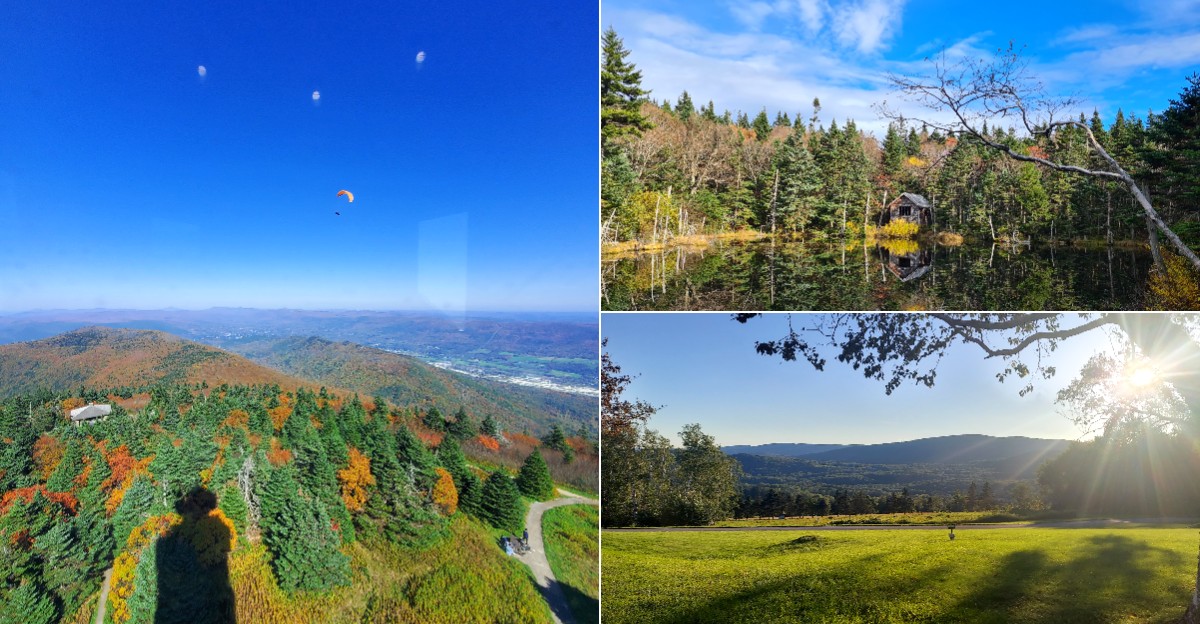
Standing on top of the highest point in Massachusetts, you can watch a patchwork of red, orange, and gold roll away in every direction.
Mount Greylock State Reservation rises above the Berkshires in the northwest corner of the state, reaching about 3,491 feet.
On clear days, the summit views can stretch across several states, making fall foliage season especially breathtaking.
A paved road leads to the top, where the Veterans War Memorial Tower and historic Bascom Lodge await.
Families can picnic, explore short walks, and soak in the cool mountain air together.
Bring a warm layer, check road conditions before you go, and get ready for one of New England’s most spectacular fall views.
Start Below the Clouds
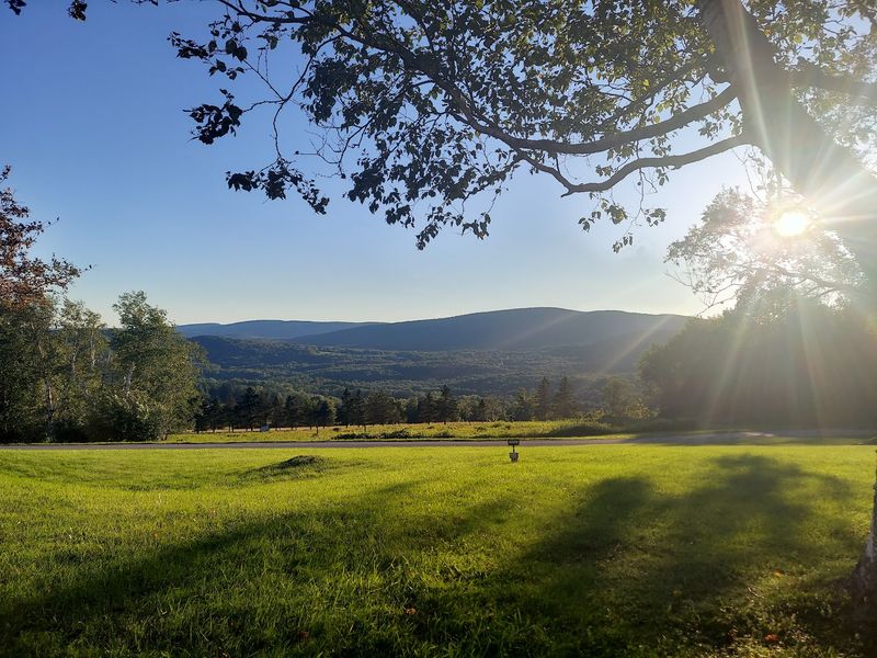
Crisp air and bright leaves make even the start of a mountain visit feel special. Before heading uphill, stop at Mount Greylock State Reservation, 30 Rockwell Rd, Lanesborough, MA 01237, United States. That address belongs to the visitor center, not the summit itself.
Inside, exhibits introduce the mountain’s natural setting and history, while staff can help explain routes and current conditions. Ask about road access, trail closures, restroom availability, and the day’s weather before choosing your next step. A short conversation can prevent a long detour or an unexpectedly hard hike.
The reservation protects Massachusetts’ highest peak, which rises 3,491 feet above sea level. Its forests, slopes, and open viewpoints offer several ways to enjoy autumn without making every visit an all day climb. You can build your outing around a scenic drive, a manageable walk, or a more demanding trail.
Check the official state website before leaving home, since hours and services may change with the season. Bring a downloaded map rather than depending entirely on your phone. Starting with reliable information leaves more time for the good part: watching the woods change color as you climb toward the sky, with a clear plan and fewer surprises along the way during your fall mountain adventure.
Let the Five-State View Unfold
The horizon seems to keep moving farther away when the air is clear. From the summit, the mountain landscape spreads across nearby valleys and distant ridges, creating the broad view behind the five state claim. Massachusetts, New York, Vermont, New Hampshire, and Connecticut are the states commonly associated with this panorama.
Seeing that far depends on visibility, not simply reaching the top. Clouds, haze, smoke, and moisture can hide distant hills even when the woods nearby look bright. Treat the full sweep as a possibility on an exceptionally clear day, rather than a promise attached to every visit.
Bring binoculars if you enjoy studying distant shapes, and use a map to understand the surrounding geography. State lines are invisible across wooded slopes, so guessing where one state ends and another begins is harder than it sounds. The pleasure comes from the scale of the landscape, not checking off borders.
Spend a few minutes looking before reaching for your camera. Notice how nearby trees show separate crowns while farther ridges soften into bands of blue. That shift gives the view its depth, especially when warm autumn colors fill the foreground and the farthest hills seem to float quietly beyond them under a wide, pale afternoon sky overhead.
Follow the Color Down the Slopes
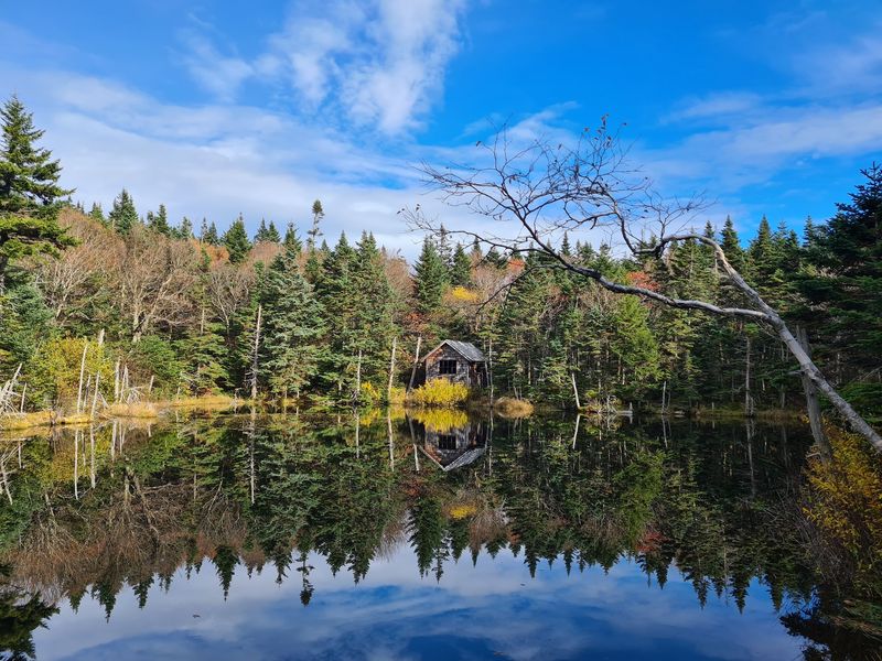
Autumn does not paint the whole mountain overnight. Leaves change at different times across the slopes, which means your view may include bare branches near the top and fresh color farther below. Elevation, temperature, tree species, and recent weather all help shape that changing pattern.
Late September through October is a useful planning window, but no calendar date guarantees peak foliage. Cooler upper slopes often change earlier than sheltered lower areas. A warm stretch, strong wind, or heavy rain can shift the timing or shorten the best display.
Look for recent foliage updates and check when any shared photographs were taken. An image posted today might show conditions from last year, so the date matters as much as the colors. Staff may also offer useful observations about which elevations currently look brightest.
Give yourself permission to enjoy mixed conditions rather than chasing a perfect peak. Green evergreens make gold leaves stand out, and scattered red trees can look striking against quieter woods. If the summit trees have already dropped their leaves, lower roadside stops or shorter walks may still offer plenty to admire.
Flexibility is your best tool. Choose your visit around current conditions whenever possible, and remember that autumn’s uneven progress is part of the mountain’s charm.
Enjoy the Climb Without a Long Hike
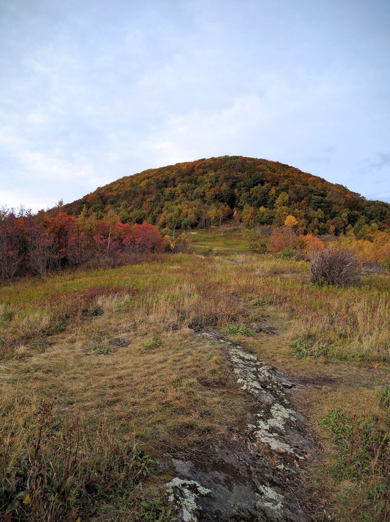
A winding road can turn the journey upward into part of the show. Seasonal summit access lets visitors reach high views by car, making the mountain practical for people who do not want a long climb. The drive still deserves planning, especially during busy foliage weekends.
Summit roads generally operate from late spring into fall, with opening and closing dates affected by weather. Check the official website for current access instead of relying on a previous year’s schedule. Snow or ice can arrive earlier at higher elevations than visitors expect.
Drive slowly through curves and watch for walkers, cyclists, and other vehicles. Use designated parking areas for scenic stops, and never block the road while taking pictures. Passengers can enjoy the passing colors while the driver keeps attention on the pavement.
Arriving early may help you avoid the busiest parking periods, though popular days can still draw crowds. Allow extra time for stops and check current parking fees before your trip. A relaxed schedule makes the drive more enjoyable than racing straight uphill.
Once parked, expect some walking between your vehicle and summit features. Bring comfortable shoes and a warm layer even if you mostly plan to drive. Easy access does not remove the mountain’s chilly wind or changing weather.
Pick a Trail That Fits Your Day
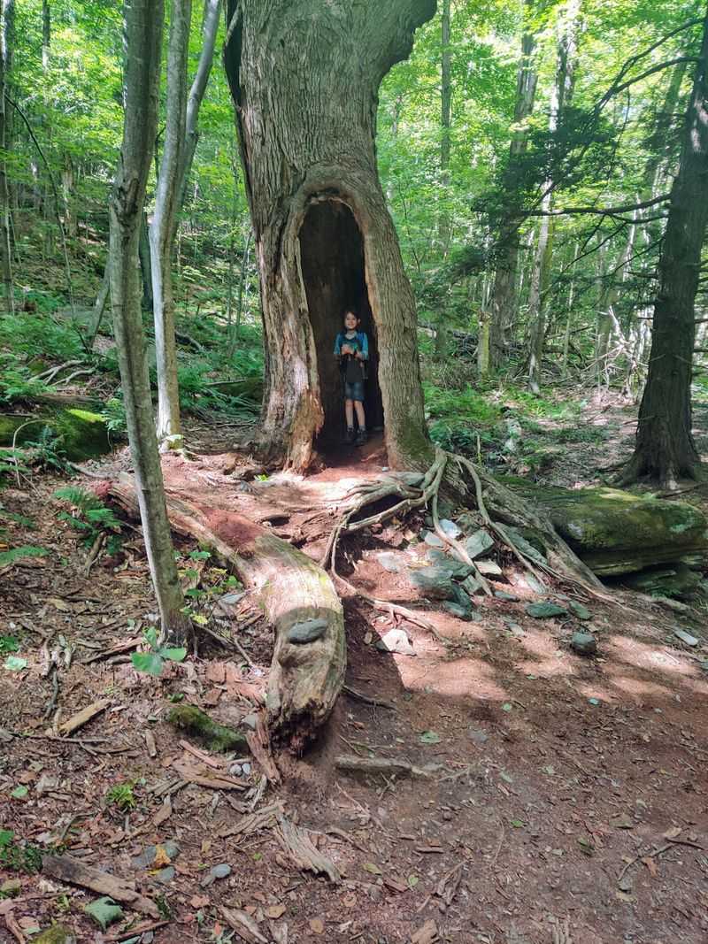
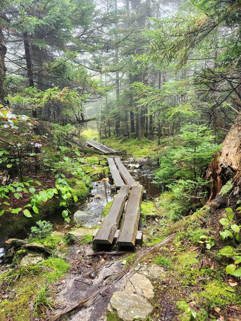
Leaves crunch underfoot, and suddenly the forest feels closer than it did through a windshield. Walking offers a different kind of autumn visit, with small details that disappear from a moving car. Bright leaves, textured bark, and quiet stretches of trail become part of the reward.
The reservation has more than 70 miles of trails, including about 11.5 miles of the Appalachian Trail. That variety does not mean every route is easy or leads quickly to the summit. Some climbs involve substantial distance, steep grades, and rough footing.
Choose a route using its mileage, elevation gain, and estimated time, rather than its name alone. Ask staff whether a shorter woodland loop would better match your group’s energy and experience. The Bradley Farm area can be worth discussing when planning a lower elevation walk.
Wear shoes with good grip, because fallen leaves can conceal wet rocks and roots. Carry water, snacks, a map, and enough clothing for a colder return. Start early and set a turnaround time that leaves room before sunset.
A successful outing does not require reaching the highest point. Walking a suitable trail comfortably is better than struggling through a route chosen only for bragging rights. Let the forest set the pace, and enjoy what your group can manage.
Pause Beside the Veterans Memorial
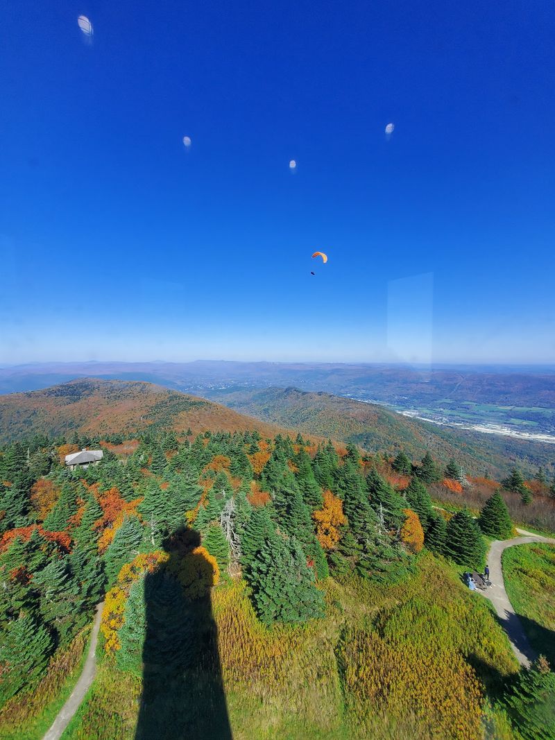
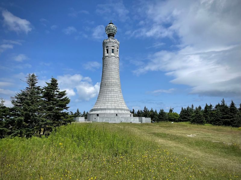
A stone tower gives the open summit a powerful sense of place. The Massachusetts Veterans War Memorial Tower honors the state’s war dead and adds a moment of reflection to a scenic outing. Its presence reminds visitors that the mountaintop holds history as well as beautiful views.
Dedicated in 1933, the memorial rises above the surrounding summit grounds. Look closely at its stonework and read available interpretive information before treating it only as a photo backdrop. A brief pause helps connect the structure with the people it was built to remember.
When the interior is open, visitors may climb stairs for an elevated outlook. Access can change because of seasonal schedules, maintenance, or weather, so confirm availability before making that climb your main goal. Narrow stairs may not suit everyone, especially anyone uncomfortable with enclosed spaces or heights.
You can still enjoy broad scenery from outdoor summit viewpoints without entering the tower. Give other visitors room, keep voices considerate near the memorial, and follow posted directions. The grounds offer a meaningful stop even when tower access is unavailable.
For photographs, try placing the tower beside the colorful landscape rather than filling every frame with stone. That approach shows how remembrance and natural beauty share the same remarkable setting at the summit.
Make Room for a Summit Break
A warm drink or an unhurried lunch can make the mountaintop feel less like a checkpoint. Near the summit, Bascom Lodge adds a rustic touch to the experience with its stone and timber design. The building dates to the 1930s and reflects the mountain’s long history of welcoming visitors.
Food service and lodging are seasonal, and hours may differ from road access or memorial hours. Check the lodge’s current information before counting on a meal, overnight stay, or indoor break. Do not assume that an older review describes today’s menu or schedule.
Pack water and a backup snack even when you hope to eat there. A busy day, limited service, or an unexpected closure should not leave your group hungry. If you bring a picnic, use suitable public areas and follow any posted rules.
Keep food secured and never offer scraps to wildlife. Carry out your trash whenever bins are unavailable, including small wrappers that can blow across the grounds. Leaving the area tidy protects both animals and the next visitor’s experience.
Most of all, allow time to sit rather than rushing directly back downhill. A pause gives tired legs a rest and lets changing light reveal new details across the forested slopes. Sometimes the quietest minutes become the best remembered.
Bring Home the View, Not a Risk
Your favorite photograph might happen after you put the camera down and notice the light. Autumn scenery changes quickly as clouds pass, shadows stretch, and sun reaches different parts of the valley. Waiting patiently often improves a picture more than moving toward a risky edge.
Use established viewpoints and keep your footing secure while framing a shot. Include a nearby tree, stone feature, or section of hillside to give distant ridges a sense of scale. A phone camera works well for broad scenes, especially when you avoid excessive digital zoom.
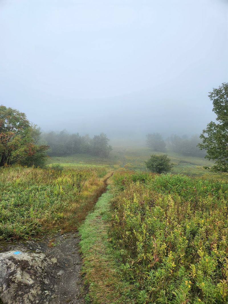
Clear weather helps long views, but summit conditions can change fast. Check the forecast, carry a windproof layer, and bring warmer clothing than you would need in the valley. If thunder, thick fog, or icy surfaces develop, adjust your plans rather than forcing the outing.
Autumn days also grow shorter, which matters for both hiking and driving. Keep enough daylight for your return, and carry a headlamp if your plans include trails. A charged phone is useful, but it should not be your only safety tool.
Before leaving, take one last look without a screen between you and the horizon. The colors may last only weeks, but an attentive, well planned visit can leave memories that stay bright much longer.