Beneath the calm surface of this Florida lake lies a landscape that looked very different more than a century ago.
Lake Rousseau formed after the Inglis Dam was built on the Withlacoochee River in the early 1900s, flooding the land along its banks.
Old roads and traces of the past still slip quietly into the water, sparking curiosity and local legend.
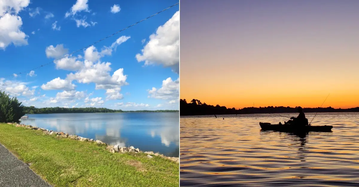
Today, the lake is known for its quiet coves, cypress trees, and countless stumps rising from the water.
Wildlife sightings are common, from wading birds to turtles sunning on logs.
Visit at sunrise or sunset, when the lake feels especially mysterious and beautiful.
A Quiet Shore With a Story Beneath It
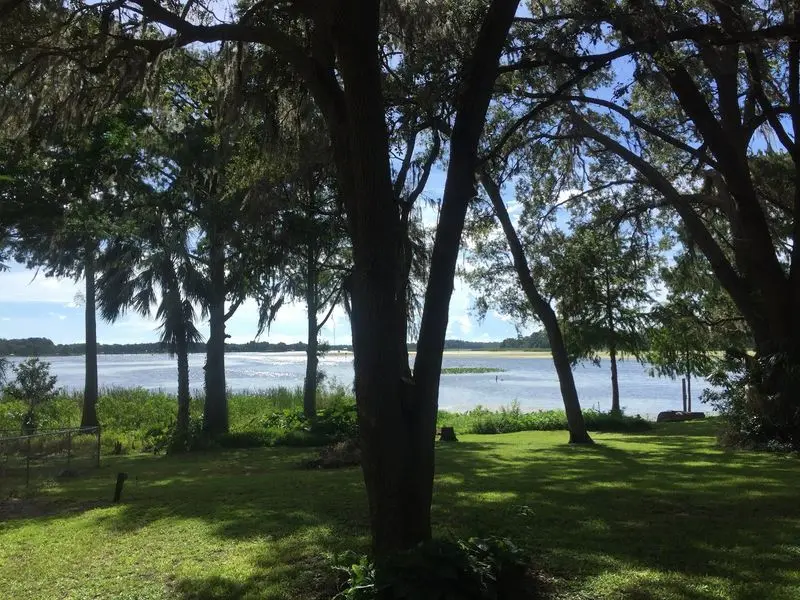
Still water, wooded banks, and scattered stumps make the shoreline feel far removed from busy roads and crowded beaches. Yet Lake Rousseau, Florida, USA, is not simply a natural lake with an untouched past. It is a reservoir, shaped by a dam that changed the river and flooded surrounding land.
That difference matters because a flooded landscape can preserve clues without preserving an entire town. Tree remains, altered channels, and old land boundaries may tell part of the story. They do not, by themselves, prove that houses, shops, or streets lie beneath the surface.
The supplied place information describes a scenic destination for fishing, boating, and camping. Visitor comments repeatedly mention peaceful surroundings, wildlife, and underwater stumps, rather than documented town ruins. Those observations help explain what travelers can expect, but they are not historical records.
Begin a visit with the visible landscape instead of a dramatic promise. Look for the contrast between open water and drowned timber from a safe public viewing area. Bring binoculars, take photographs, and note questions for later research.
A good mystery becomes more interesting when its clues are real. Here, the changed landscape offers plenty to explore without treating an unverified submerged town as an established fact for curious readers today.
The Dam Came Before the Canal
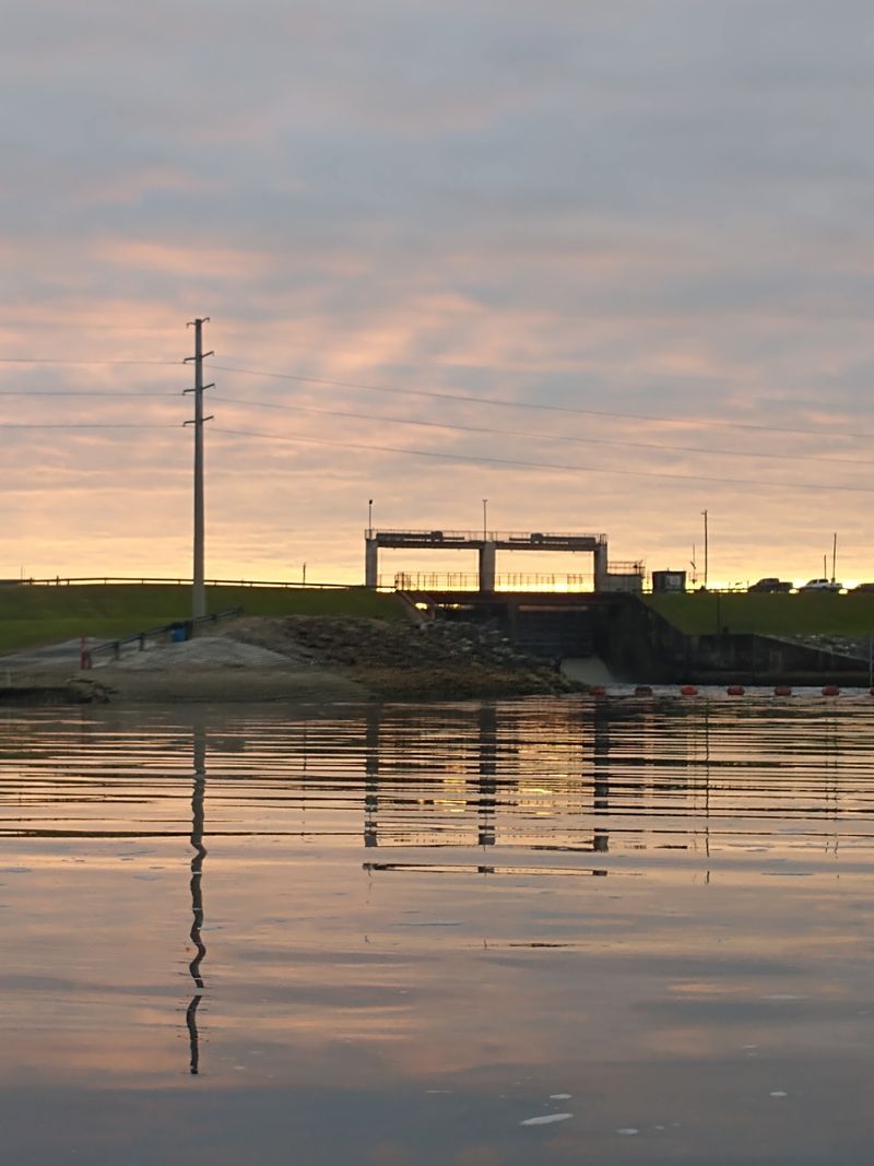
Long before fishing boats became a familiar sight, moving water offered something valuable: power. The reservoir dates to 1909, when dam construction on the Withlacoochee River backed water across nearby low ground. Its early history belongs to regional power development, not simply to a later canal project.
That timeline helps untangle a common mix-up. One supplied visitor review connects the lake’s creation with the proposed cross-state barge canal. However, the reservoir already existed decades before the canal construction associated with the area during the twentieth century.
Later work changed water-control structures and the surrounding landscape, adding another layer to the story. Seeing today’s dam does not mean every nearby feature dates from the original project. Infrastructure can be rebuilt, expanded, or replaced while a reservoir keeps its familiar name.
For a useful history check, compare early maps with later engineering records and dated photographs. Look for separate dates for the first impoundment, later dam work, and canal construction. Keeping those events apart makes the landscape easier to understand.
Visitors should use authorized overlooks or public access areas when viewing water-control structures. Obey posted restrictions, since currents near gates and spillways can be dangerous. The most revealing view is never worth crossing a barrier or approaching moving water too closely.
A Vanished Town Needs More Than a Headline
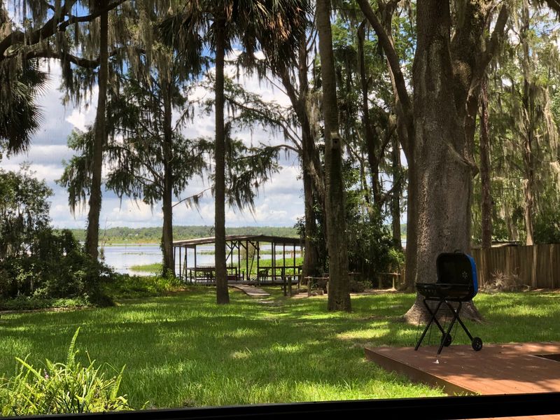
A missing town is a powerful image, but a powerful image is not proof. The material supplied for this article does not identify a town submerged beneath the reservoir. It also provides no dated map, relocation record, or historical account showing an entire settlement disappearing underwater.
That gap should remain visible rather than being filled with invented details. Flooding woodland or farmland is different from flooding a populated town. Even a few former buildings would not automatically support the claim that an entire community vanished.
Useful evidence would include a town name, its mapped position, and records explaining what happened to its residents. Newspaper reports, property records, and engineering surveys could help connect those pieces. A reliable account should also distinguish buildings removed before flooding from structures actually covered by water.
Ask a local archive or historical society about the reservoir’s original flooded footprint. Explain that you are checking a specific claim, not searching for any nearby ghost town. That approach keeps research focused and avoids mixing unrelated histories.
Until supporting records are found, describe the submerged-town story as unverified. Readers still get an intriguing subject, but they also get an honest boundary between evidence and imagination. Sometimes the best historical discovery starts by questioning the most exciting sentence first.
Roads Into the Water Require a Map Check
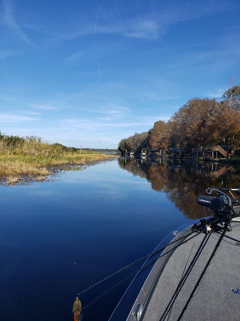
A strip of pavement meeting the shoreline can look like the beginning of a lost street. But appearances can fool us, especially around a reservoir with boat ramps and changing water levels. The supplied information does not verify any surviving town roads that run beneath the lake.
A modern launch ramp is built to enter the water. An access lane may end near a fishing spot or maintenance area. Neither feature should be labeled an abandoned road without checking its history.
To investigate a possible route, start with a dated map made before the reservoir existed. Compare it with later aerial photographs and a current shoreline map. Look for a continuous alignment, not just a short piece of pavement pointing toward water.
Property access matters as much as historical interest. Stay on public land, follow signs, and never cross fences to trace a suspected road. Avoid walking into murky water, where a firm-looking surface may end suddenly or hide broken material.
Photograph the feature from shore and record its position for later comparison. A local road department or archive may help explain whether it served travel, launching, or dam operations. Treat the shoreline as a place to gather clues, not as permission to follow a mysterious route underwater yourself.
Drowned Timber Is the Clearest Visible Clue
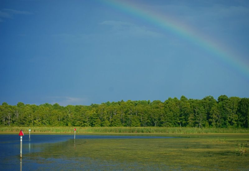
Weathered wood poking through the surface tells a simpler story than any imagined underwater main street. Stumps are among the features most often mentioned in the supplied visitor reviews. They offer visible evidence of a landscape where water now covers formerly exposed ground.
Some timber is easy to spot, while other pieces remain just below the surface. Light, wind, and water conditions can change how clearly those hazards appear. A stretch that looks open from shore may still contain obstacles.
For boaters, that means slowing down and using current navigation guidance. Several reviewers advise staying in channels, but an old comment is not a substitute for present conditions. Check launch signs, ask knowledgeable local operators, and follow posted boating rules.
Do not assume a kayak can safely pass every stump either. Branches can snag equipment, and an unexpected collision can upset a small craft. Wear a properly fitted life jacket and keep enough space to turn around.
Photographers can enjoy the timber without approaching it closely. A zoom lens captures textured wood, reflections, and birds resting above the water. Those pictures show something genuine about the reservoir’s character, while avoiding unsupported claims about hidden houses or streets.
The visible remnants are interesting enough to deserve careful attention on their own.
Fishing Gives the Old Landscape a New Role
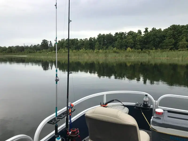
For anglers, a stump is more than a reminder of flooded land. Wood can provide cover where fish shelter or wait for food. That helps explain why visitors mention both good fishing and difficult navigation in the same breath.
The supplied reviews include reports of bass and catfish catches. They also include unsuccessful trips, which is a useful reminder that results vary. Weather, season, water conditions, skill, and simple luck all affect a day on the lake.
Start by checking current fishing license requirements and species rules with the state wildlife agency. Ask a local bait shop or guide about recent conditions rather than relying on years-old reviews. Do not treat claims of unusually large fish as a promise of what you will catch.
From a boat, approach cover slowly and avoid scraping across submerged wood. From shore, confirm that fishing is permitted and that vegetation leaves enough room for safe casting. Keep hooks away from paths and other visitors.
Pack drinking water, sun protection, and a way to collect discarded line. Lost fishing line can harm birds and other wildlife long after a trip ends. Enjoying the reservoir’s present-day fishing does not require proving a vanished town, only respecting the habitat and returning home safely after each outing.
Wildlife Keeps the Shoreline Lively
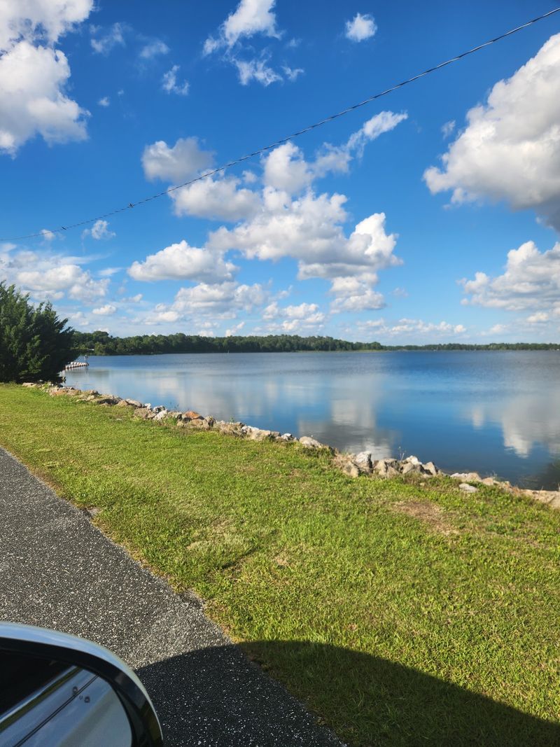
A bird lifting from the shallows can interrupt a history hunt in the best possible way. The reservoir is also a living habitat, not just a place to wonder about the past. Visitor reports describe birds, other wildlife, and alligators around the water.
Bring binoculars if you want a closer look without moving closer yourself. Watch shoreline vegetation, exposed timber, and open water for different kinds of activity. Early daylight can offer comfortable temperatures and pleasing light, though sightings are never guaranteed.
Keep a respectful distance from every animal. Never feed alligators or other wildlife, and keep pets away from the water’s edge. Do not enter the water simply because it looks calm or because another visitor describes the lake as beautiful.
Quiet observation often reveals more than constant movement. Choose a safe public spot, pause for several minutes, and let nearby birds settle. Avoid loud playback calls or chasing an animal for a photograph.
A small notebook can turn a casual stop into a useful record. Write down the date, weather, and animals you can confidently identify. Leave uncertain sightings unnamed until you check a field guide.
The lake’s most rewarding secrets may be above the surface, where a patient visitor can watch the landscape changing moment by moment.
Plan a Visit Around What Is Actually There
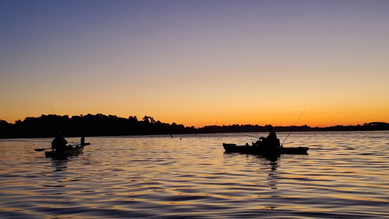
A satisfying trip starts with realistic expectations, not a promise of ruins beneath your feet. Come for the water, wooded views, fishing opportunities, and the history of a changed river landscape. Treat the vanished-town headline as a question still needing evidence.
Before leaving home, confirm which public access point fits your plans. Boat launches, shoreline areas, and private campgrounds can have different rules and hours. Check directly with operators about reservations, parking, fees, and the equipment they currently offer.
The supplied reviews mention camping and rental options, but some comments are several years old. Services may have changed since those visits. Avoid planning around an old nightly rate or assuming that every campground accepts tents.
Pack water, insect protection, a charged phone, and suitable footwear. For boating, add life jackets and current local navigation information. Tell someone your route and expected return time, especially if you plan to explore quieter water.
Leave room for an unhurried shoreline stop and a few photographs. If history is your main interest, pair the visit with archive research rather than searching blindly for submerged streets. A responsible outing can still feel adventurous.
You leave with genuine observations, useful questions, and a clearer understanding of why this reservoir deserves attention beyond its most dramatic headline alone.