Some trails make you earn the payoff, and some hand it over early. This one in Gold Bar, Washington, does a little of both.
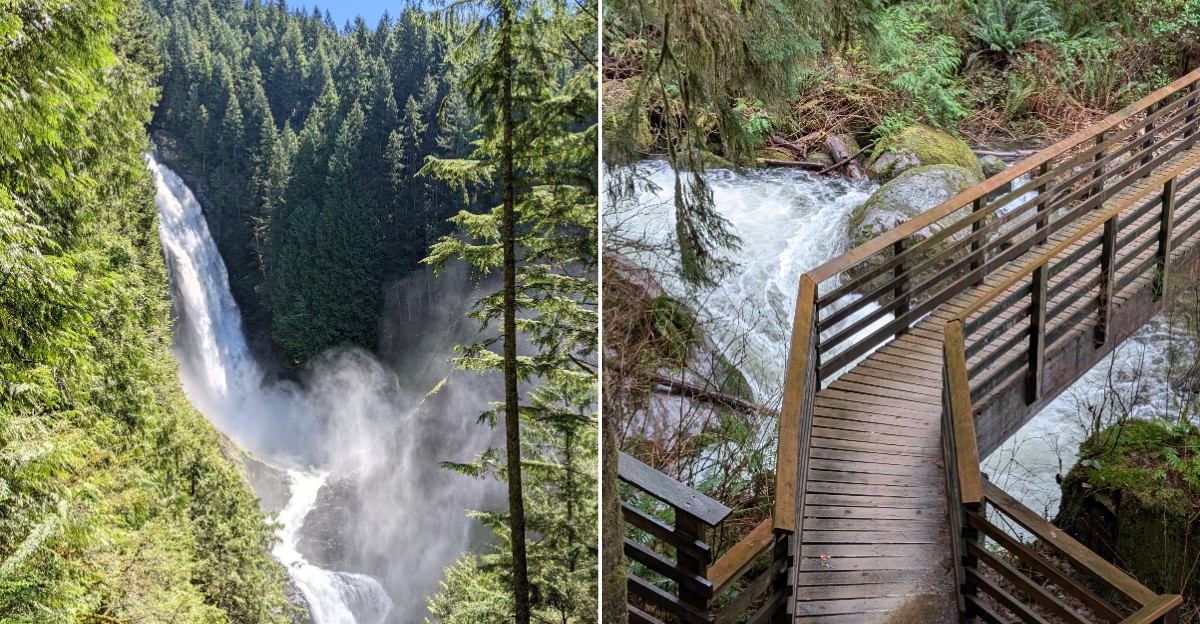
The route starts flat and friendly along a river, then tilts upward toward a series of waterfalls, with the biggest one plunging about 265 feet down a rocky canyon.
Long before it comes into view, its roar drifts through the trees and tells hikers they are getting close.
Families with toddlers walk this path, and so do seasoned hikers chasing a solid workout.
Turnaround points come often, so nobody has to go farther than their legs allow.
Below, find the exact location, the best viewpoints, smart timing tips, cabin camping details, and a longer loop for anyone who wants extra miles. Lace up and read on.
Where the Roar Begins
Every big adventure needs a starting line, and this one sits at 14503 Wallace Lake Road, Gold Bar, WA 98251. That puts Wallace Falls State Park in Snohomish County, on the western edge of the Cascade Mountains in the United States.
Gold Bar is a small town along U.S. Highway 2.
The drive from the Seattle area is short enough for an easy day trip, which helps explain why the trailhead stays busy.
The park covers forest, rivers, lakes, and the famous falls. Campsites and cabins sit near the entrance, so some people stay overnight instead of rushing home.
The parking lot is large, with restrooms right at the trailhead. Those restrooms are known for being kept very clean, which is a nice bonus before a long hike.
Clear signs point the way from the lot to the trail. Nobody needs a map degree to find the start here.
Getting there is the easy part. The real fun begins once boots meet dirt.
A Buzzing Start Under Power Lines
Not every famous hike opens with a postcard view. The first stretch here runs beneath giant electrical transmission towers, and the lines can actually be heard humming overhead.
It is a surprising welcome for a nature trail. Some hikers find it oddly cool, and it makes a memorable bit of trivia for kids.
The good news is that this section is short. Once the trail ducks into the trees, the scene changes fast and the park becomes calm and quiet.
Think of the power line stretch as a warm-up lap. The path is wide and mostly level, so it is a good time to adjust backpack straps and settle into a steady pace.
Groups with young children can use this part to set expectations. A quick chat about turnaround points now saves grumbling later.
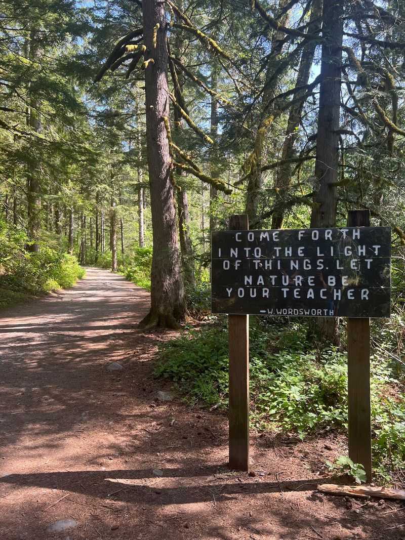
Shortly after the towers fade behind, the forest takes over completely. That is when the hike starts to feel like the Pacific Northwest people come here to find.
Riverside Miles That Feel Easy
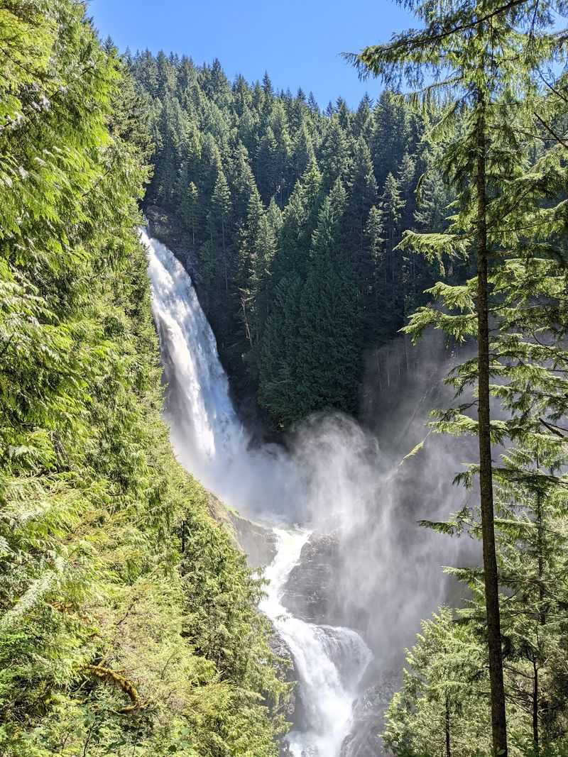
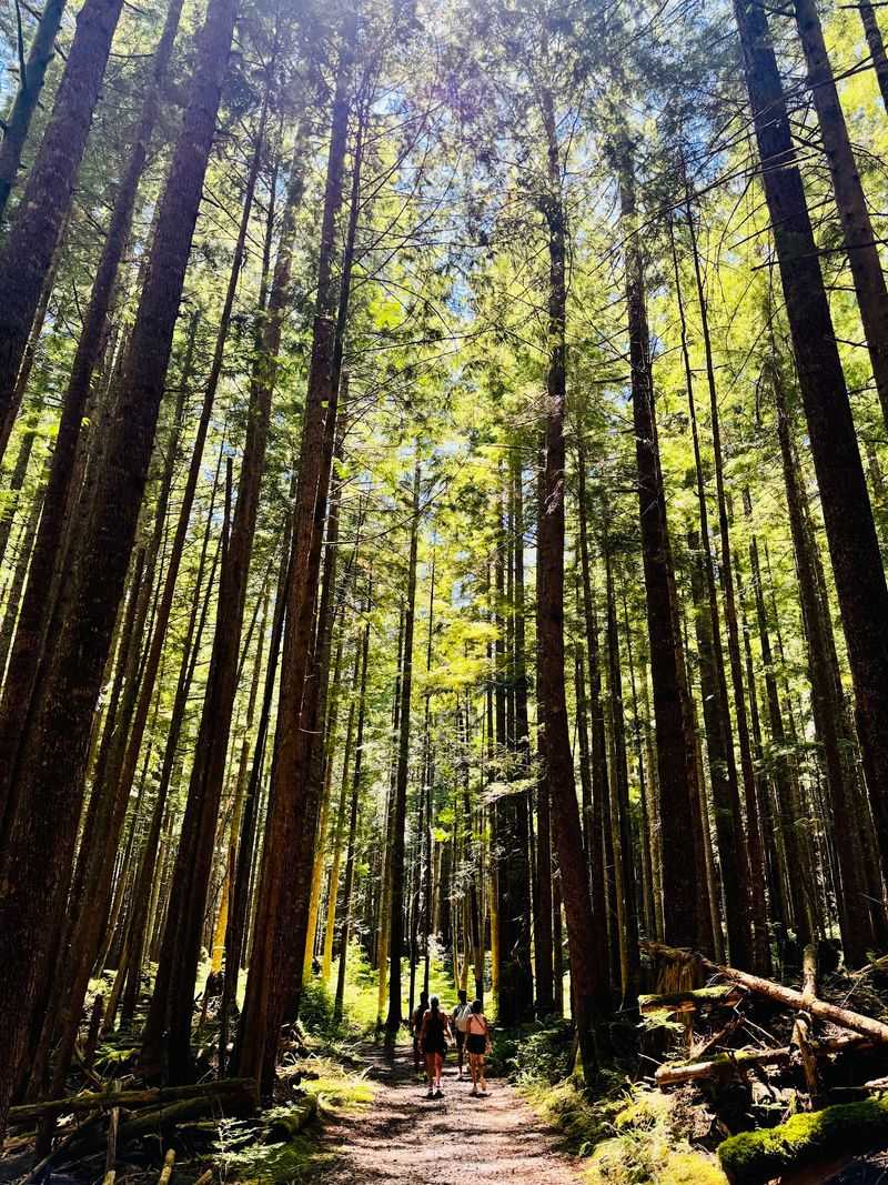
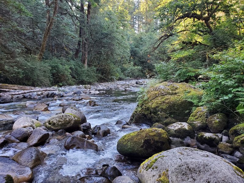
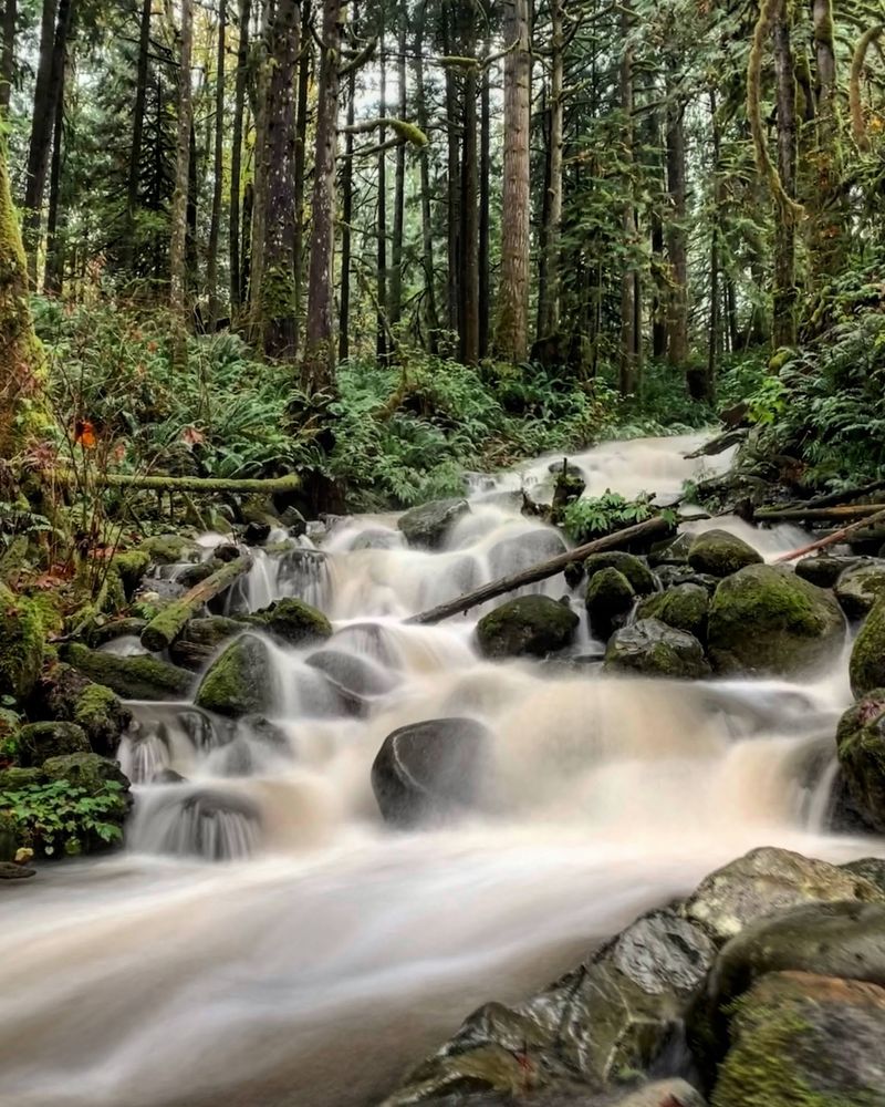
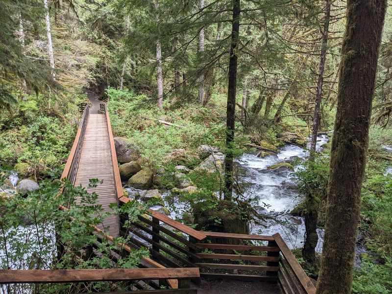
Here is the part that earns the word easy in the headline. After the power lines, the Woody Trail follows the Wallace River through lush forest, with some gentle stretches and increasingly noticeable climbs as hikers approach the waterfalls.
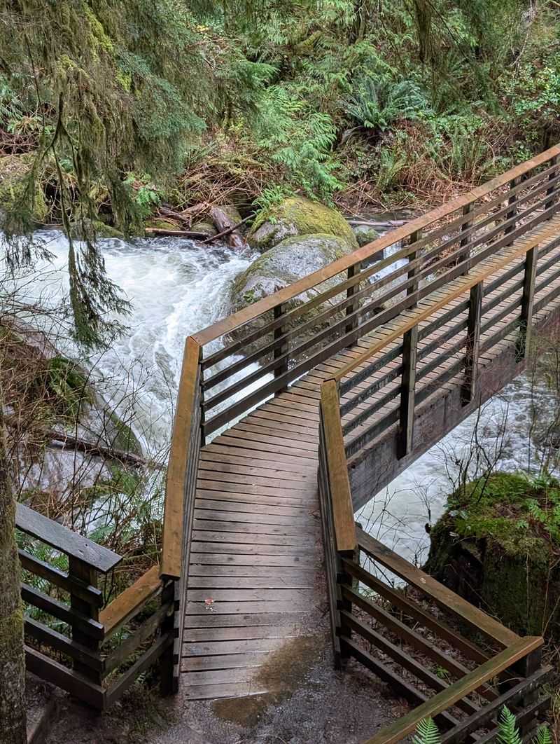
Moss coats the tree trunks, and a few simple bridges cross small streams along the way. The trail stays shaded for much of the walk, which helps on warmer days.
This early section is not technical. There are no tricky scrambles, just a steady path that most people can handle at a relaxed pace.
Families with toddlers and older hikers are common sights here. It is the kind of trail where a grandparent and a grandchild can both feel proud at the end.
The river keeps hikers company for a good stretch. It also builds anticipation, since that water is headed toward something much bigger.
Take this section slowly if needed. The climbing comes later, and saving some energy now pays off when the stairs show up near the falls.
Lower Falls, the First Reward
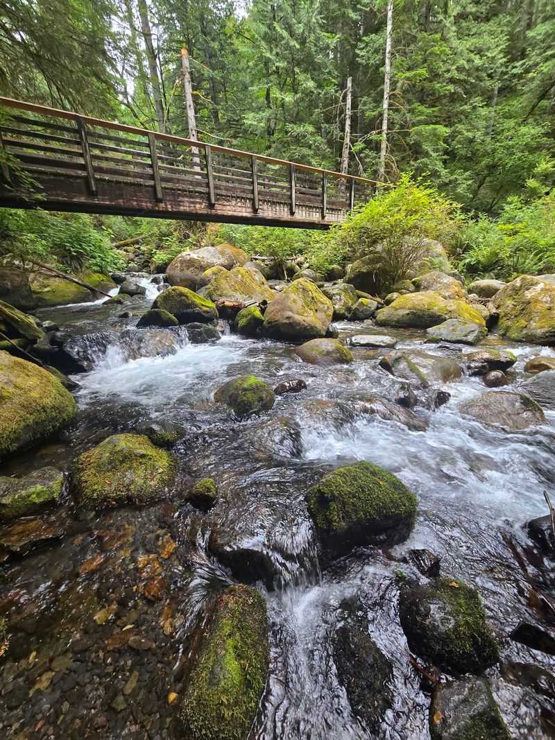
About an hour of easy walking brings the first big payoff. At a relaxed pace, many groups reach the Lower Falls in around 55 minutes.
A picnic shelter sits near this viewpoint, making it a natural spot for a snack break. The falls drop through the forest close enough to feel like a true reward.
For some hikers, this is the finish line, and that is perfectly fine. Plenty of people turn around here and still leave happy.
The legs might already notice the work by now. A few small climbs near the end of this section give calves a gentle reminder that the trail is heading uphill.
Anyone deciding whether to keep going should check the time, the weather, and the group’s energy. Water and snacks matter more from here forward.
Still curious about what comes next? The roar gets louder beyond this point, and the trail is about to get more interesting.
Middle Falls Steals the Show
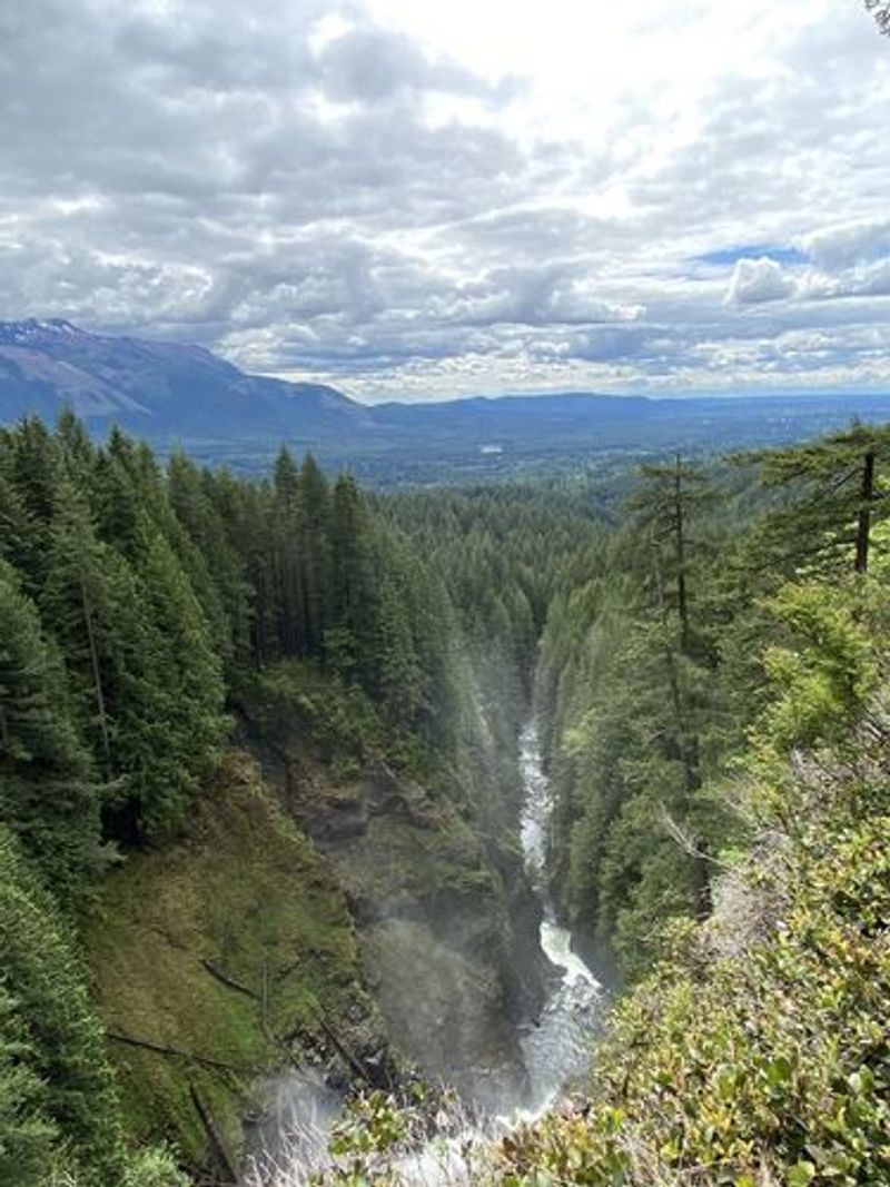
Ask around, and many hikers will name this as their favorite stop. The Middle Falls viewpoint shows off the tallest drop, roughly 265 feet of water pouring down the canyon.
Reaching it takes more effort. Stairs, switchbacks, and tree-root steps start appearing as the trail climbs above the lower section.
The round trip to Middle Falls covers approximately 4.2 miles, with steeper sections that make the hike moderately challenging. Hikers who take their time often spend a little over three hours on it, breaks included.
Mist often drifts up from the falls, so a light jacket can be handy. The viewpoint gives a clear, open look at the full height of the water.
Some people argue this view beats the one from the very top. Many who stop here feel no need to go farther, and nobody would blame them.
For those still hungry for more, the trail keeps climbing. Just make sure there is enough water left in the bottle before pressing on.
The Valley Overlook Nobody Should Skip
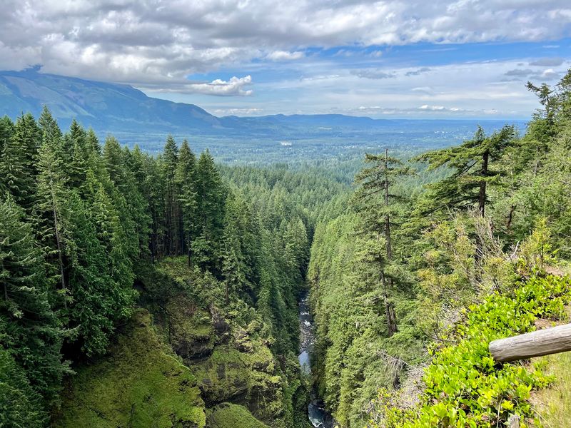
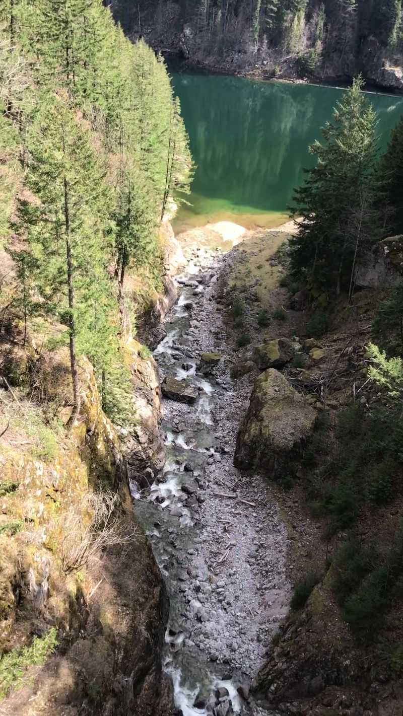
Plenty of hikers rush past this spot, and that is a mistake. The Valley Overlook sits above Middle Falls and opens up a wide view of the valley below.
On clear days, the scene stretches far across the lowlands. Some argue this is the best photo stop on the whole trail, even better than the waterfalls.
Sunny weather makes a big difference here. Cloudy days can hide much of the view, so check the forecast before choosing a hiking date.
The overlook also makes a smart resting point. The switchbacks on either side work the legs, and a short pause helps before the final push.
Bring a phone or camera with a charged battery. This is the spot where most of the best shots of the trip tend to happen.
Once the photos are done, the final section waits. It is short but steep, and it leads to the highest point most people reach.
Upper Falls and a Final Push
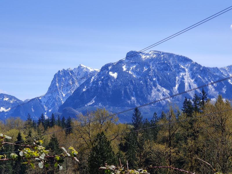
The top of the trail is not far, but it asks for some grit. The last stretch to Upper Falls packs in switchbacks that make it the toughest part of the hike.
The round trip from the parking lot to Upper Falls covers approximately 5.5 miles, with around 1,300 feet of elevation gain. The final stretch is steep enough to provide a real workout.
Many groups finish in just under three hours. Faster hikers can do it quicker, while families should plan extra time for breaks.
Here is a funny twist. The waterfall views actually get a little less dramatic as the trail climbs, since the best angle of the big drop sits lower down.
So why go to the top? Bragging rights, a great workout, and the chance to say the whole trail is done.
Coming down puts different stress on the knees. Trekking poles can help, especially on the rocky and rooty sections near the top.
Gear That Makes It Smoother
Good shoes might be the most important item on this list. The trail is well maintained, but parts of it are rocky, rooty, and full of steps.
Sturdy hiking shoes with solid grip help a lot. In wet months, the upper trail can turn muddy and slushy, so waterproof footwear is a smart pick.
Water is a must, especially for anyone heading past Lower Falls. Trail mix or other easy snacks give a boost before the steep switchbacks.
Layers are helpful too. The forest stays shaded, and weather can change quickly, with rain below and even light snow near the top in spring.
A small daypack holds everything without much fuss. Trekking poles are optional, but tired knees often appreciate them on the way down.
No special experience is needed to finish this hike. Steady endurance and the right gear do most of the work, and the falls handle the rest.
Beat the Crowd With Smart Timing
Popularity comes with a price, and here that price is parking. On sunny weekends, the large lot can fill up fast.
Arriving early in the morning is the best move. Even on busy days, cars rotate out, so patient drivers may still grab a spot as others leave.
Weekdays are a different story. A Thursday morning can see the lot only about a quarter full, giving the trail a much calmer feel.
Crowds on the trail itself rarely feel overwhelming. The path is wide in many places, and people spread out between the different falls.
Weather matters too. Cool, cloudy days in the 60s make for comfortable climbing, while clear skies bring the best valley views.
Spring often brings strong water flow and fresh green colors in the forest. A bit of planning turns a busy trail into a peaceful outing.
Discover Pass Details
A quick note before the drive saves a headache later. Wallace Falls is a Washington state park, so vehicles need a Discover Pass to park.
The pass works at state parks and other state recreation lands across Washington. Frequent hikers often buy the annual version since it covers many trips.
Day passes are also available for one-time trips. Buying ahead of time keeps things simple at the trailhead.
Hang the pass where it is easy to see in the car. That small step keeps the focus on the hike instead of on paperwork.
Restrooms at the trailhead are another perk covered by park upkeep. The facilities and parking area stay organized and well cared for.
Dogs are welcome on the trail when leashed, and plenty of families bring their pups along. Pack water for four-legged hikers too, since the climb works them just as hard.
Cabins Built for an Easy Overnight
Why rush home when the forest has a spare bed? Wallace Falls offers camping cabins near the trailhead, plus a small number of tent sites.
Check-in is simple, and carts are available to haul gear from the car to the cabin. That saves plenty of trips back and forth.
Each cabin has a picnic table and a fire pit outside. Inside, a heater with clear instructions keeps chilly nights comfortable, and a welcome binder explains the basics.
Bathrooms and showers sit close by and stay very clean. The showers offer plenty of hot water, and bringing a personal shower mat adds extra comfort.
Several water sources are spread around the camp area. Parking is plentiful, and lighting helps with nighttime walks to the restroom.
Tent sites are limited, so reservations matter. Staying overnight also solves the parking problem, since campers can hit the trail before day hikers arrive.
Wallace Lake for the Big Day
Some hikers look at a waterfall and ask, what else is out there? The answer is Wallace Lake, which connects to the falls on a longer loop.
The full Wallace Falls and Wallace Lake loop runs about 11 miles. It is longer and harder than many expect, so it suits hikers with strong endurance.
Start early to give plenty of daylight for the full route. Pack extra water, more snacks, and a backup layer for changing weather.
The loop adds quieter forest miles away from the busiest part of the trail. That makes it a good choice for anyone wanting more solitude.
Many first-time hikers save this loop for a return trip. Doing the falls first helps them learn the terrain before taking on more.
From an easy riverside stroll to an 11-mile adventure, this park scales to every energy level. The roar of that 265-foot waterfall makes every version of the trip worth the effort.